Biblioteca de design
Novos designs Merch
Camisetas
Vectores
Designs de Merch de Tendência
PNGs & SVGs
Mockups
Modelos de T-Shirt PSD
Explorar Desenhos
Designs KDP
Pôsteres
Canecas
Capas para celular
Sacos de compras
Almofadas
Ferramentas de desenho
Merch Designer
Novo!
Mockup Generator
Gerador de Design de AI
Vetorizador
Quote Generator
T-Shirt Maker (Antigo)
Ajuda
Merch Digest
Blog
Centro de Ajuda
Saiba mais sobre o Merch
Feedback
Soluções Corporativas
Empresa
Acesso à API
Estúdio de Design
Design em Lote
Preços
Carregando...
Inscrever-se
Conecte-se
PNG
geografia
Biblioteca de design
Novos designs Merch
Camisetas
Vectores
Designs de Merch de Tendência
PNGs & SVGs
Mockups
Modelos de T-Shirt PSD
Explorar Desenhos
Designs KDP
Pôsteres
Canecas
Capas para celular
Sacos de compras
Almofadas
Ferramentas de desenho
Merch Designer
Novo!
Mockup Generator
Gerador de Design de AI
Vetorizador
Quote Generator
T-Shirt Maker (Antigo)
Ajuda
Merch Digest
Blog
Centro de Ajuda
Saiba mais sobre o Merch
Feedback
Soluções Corporativas
Empresa
Acesso à API
Estúdio de Design
Design em Lote
PLANOS
PNG
geografia
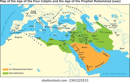
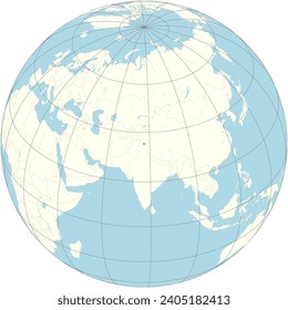
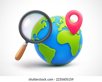
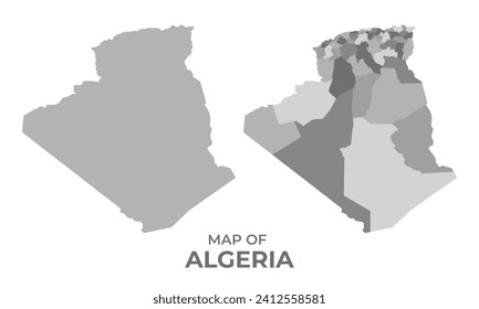
684 Vetores editáveis em PNG e SVG de geografia
Baixar Vetores PNG e SVG editáveis de geografia com fundo transparente.
Relacionado:
entusiastas da geografia
,
geografia urbana
,
geografia asiatica
Ordenar por
Mais relevante
Resultados patrocinados da
Ganhe 15% de desconto com o código: VEXELS15
veja mais detalhes
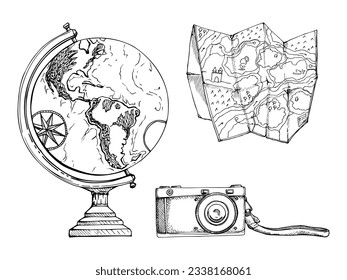
Globo amarelo liso Desenho PNG
Escolha uma pasta
Todos os favoritos
Criar novo
Salvar
Globo amarelo liso Desenho PNG
Premium
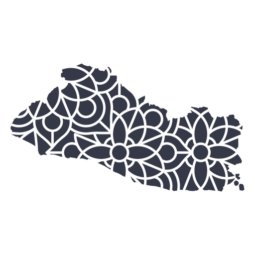
Mapa da mandala de El Salvador Desenho PNG
Escolha uma pasta
Todos os favoritos
Criar novo
Salvar
Mapa da mandala de El Salvador Desenho PNG
Estados duotone Virgínia Desenho PNG
Escolha uma pasta
Todos os favoritos
Criar novo
Salvar
Estados duotone Virgínia Desenho PNG
Estados geométricos do Maine Desenho PNG
Escolha uma pasta
Todos os favoritos
Criar novo
Salvar
Estados geométricos do Maine Desenho PNG
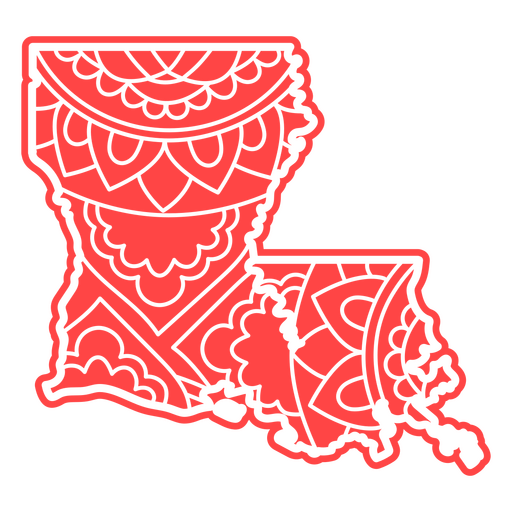
Estados da mandala da Louisiana Desenho PNG
Escolha uma pasta
Todos os favoritos
Criar novo
Salvar
Estados da mandala da Louisiana Desenho PNG
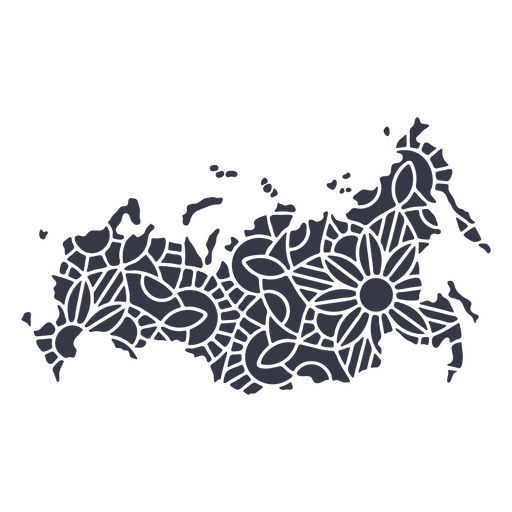
Mandala da silhueta do mapa da Rússia cortada Desenho PNG
Escolha uma pasta
Todos os favoritos
Criar novo
Salvar
Mandala da silhueta do mapa da Rússia cortada Desenho PNG
Curso de mandala de silhueta de mapa de Hong Kong Desenho PNG
Escolha uma pasta
Todos os favoritos
Criar novo
Salvar
Curso de mandala de silhueta de mapa de Hong Kong Desenho PNG
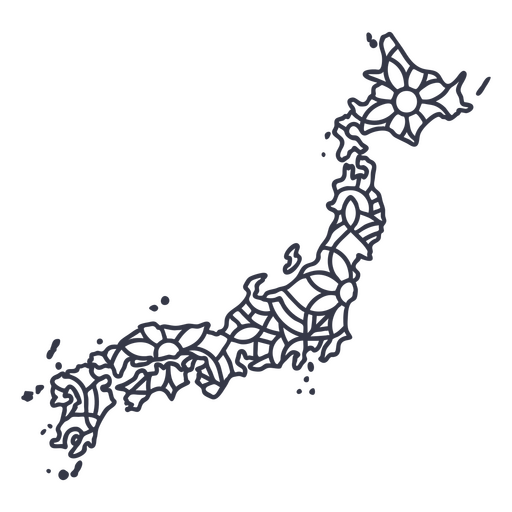
Curso de mandala de silhueta de mapa do Japão Desenho PNG
Escolha uma pasta
Todos os favoritos
Criar novo
Salvar
Curso de mandala de silhueta de mapa do Japão Desenho PNG
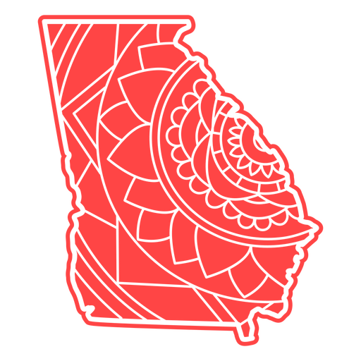
estados da mandala da Geórgia Desenho PNG
Escolha uma pasta
Todos os favoritos
Criar novo
Salvar
estados da mandala da Geórgia Desenho PNG
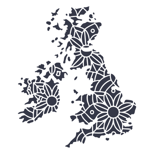
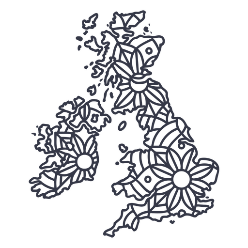
Mandala da silhueta do mapa do Reino Unido cortada Desenho PNG
Escolha uma pasta
Todos os favoritos
Criar novo
Salvar
Mandala da silhueta do mapa do Reino Unido cortada Desenho PNG
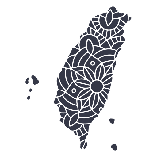
Mandala de silhueta de mapa de Taiwan cortada Desenho PNG
Escolha uma pasta
Todos os favoritos
Criar novo
Salvar
Mandala de silhueta de mapa de Taiwan cortada Desenho PNG
Premium
Acenando com a bandeira do Peru Desenho PNG
Escolha uma pasta
Todos os favoritos
Criar novo
Salvar
Acenando com a bandeira do Peru Desenho PNG
Premium
Mapa do estado de oklahoma em verde Desenho PNG
Escolha uma pasta
Todos os favoritos
Criar novo
Salvar
Mapa do estado de oklahoma em verde Desenho PNG
Estados duotônicos de Maryland Desenho PNG
Escolha uma pasta
Todos os favoritos
Criar novo
Salvar
Estados duotônicos de Maryland Desenho PNG
Estados duotônicos de Michigan Desenho PNG
Escolha uma pasta
Todos os favoritos
Criar novo
Salvar
Estados duotônicos de Michigan Desenho PNG
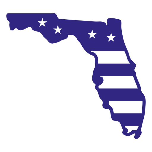
Estados duotônicos da Flórida Desenho PNG
Escolha uma pasta
Todos os favoritos
Criar novo
Salvar
Estados duotônicos da Flórida Desenho PNG
Estados duotônicos do Arizona Desenho PNG
Escolha uma pasta
Todos os favoritos
Criar novo
Salvar
Estados duotônicos do Arizona Desenho PNG
estados geométricos da Geórgia Desenho PNG
Escolha uma pasta
Todos os favoritos
Criar novo
Salvar
estados geométricos da Geórgia Desenho PNG
Estados geométricos da Flórida Desenho PNG
Escolha uma pasta
Todos os favoritos
Criar novo
Salvar
Estados geométricos da Flórida Desenho PNG
Premium
Mapa da mandala da Guatemala Desenho PNG
Escolha uma pasta
Todos os favoritos
Criar novo
Salvar
Mapa da mandala da Guatemala Desenho PNG
Estados duotônicos de New Hampshire Desenho PNG
Escolha uma pasta
Todos os favoritos
Criar novo
Salvar
Estados duotônicos de New Hampshire Desenho PNG
Estados geométricos da Califórnia Desenho PNG
Escolha uma pasta
Todos os favoritos
Criar novo
Salvar
Estados geométricos da Califórnia Desenho PNG
Mandala dos Estados Califórnia Desenho PNG
Escolha uma pasta
Todos os favoritos
Criar novo
Salvar
Mandala dos Estados Califórnia Desenho PNG
Curso de mandala de silhueta de mapa do Reino Unido Desenho PNG
Escolha uma pasta
Todos os favoritos
Criar novo
Salvar
Curso de mandala de silhueta de mapa do Reino Unido Desenho PNG
Curso de mandala de silhueta de mapa de Coreia do Sul Desenho PNG
Escolha uma pasta
Todos os favoritos
Criar novo
Salvar
Curso de mandala de silhueta de mapa de Coreia do Sul Desenho PNG
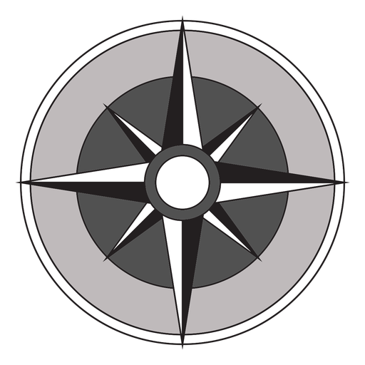
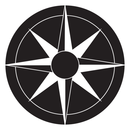
Silhueta realista detalhada da bússola náutica - 7 Desenho PNG
Escolha uma pasta
Todos os favoritos
Criar novo
Salvar
Silhueta realista detalhada da bússola náutica - 7 Desenho PNG
Desenho de globo terrestre fofo Desenho PNG
Escolha uma pasta
Todos os favoritos
Criar novo
Salvar
Desenho de globo terrestre fofo Desenho PNG
Globo terrestre desenhado à mão Desenho PNG
Escolha uma pasta
Todos os favoritos
Criar novo
Salvar
Globo terrestre desenhado à mão Desenho PNG
Ícone de traço de pontos cardeais Desenho PNG
Escolha uma pasta
Todos os favoritos
Criar novo
Salvar
Ícone de traço de pontos cardeais Desenho PNG
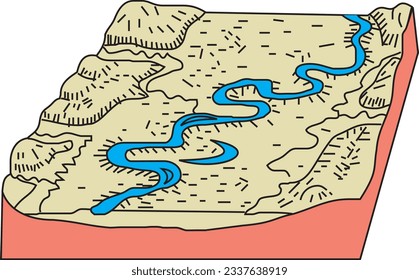
Ícone de traço do mapa Desenho PNG
Escolha uma pasta
Todos os favoritos
Criar novo
Salvar
Ícone de traço do mapa Desenho PNG
Uma silhueta do mapa de Israel Desenho PNG
Escolha uma pasta
Todos os favoritos
Criar novo
Salvar
Uma silhueta do mapa de Israel Desenho PNG
Uma silhueta do mapa do Equador Desenho PNG
Escolha uma pasta
Todos os favoritos
Criar novo
Salvar
Uma silhueta do mapa do Equador Desenho PNG
Mapa de traçado de mandala da Austrália Desenho PNG
Escolha uma pasta
Todos os favoritos
Criar novo
Salvar
Mapa de traçado de mandala da Austrália Desenho PNG
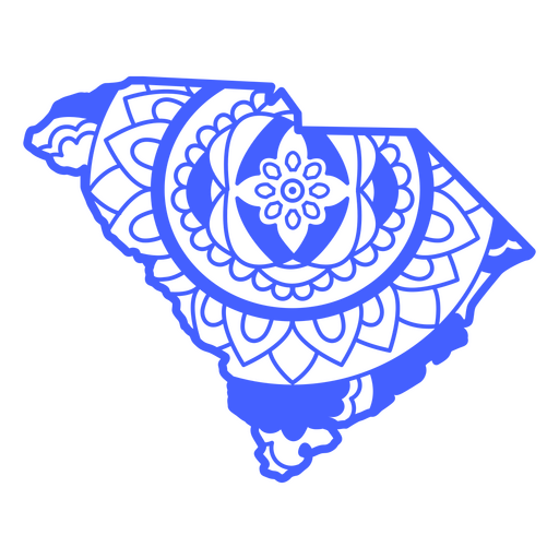
Estados duotônicos da Carolina do Sul Desenho PNG
Escolha uma pasta
Todos os favoritos
Criar novo
Salvar
Estados duotônicos da Carolina do Sul Desenho PNG
Estados duotônicos da Califórnia Desenho PNG
Escolha uma pasta
Todos os favoritos
Criar novo
Salvar
Estados duotônicos da Califórnia Desenho PNG
Estados de traçado de cor da Dakota do Norte Desenho PNG
Escolha uma pasta
Todos os favoritos
Criar novo
Salvar
Estados de traçado de cor da Dakota do Norte Desenho PNG
Estados da mandala da Carolina do Sul Desenho PNG
Escolha uma pasta
Todos os favoritos
Criar novo
Salvar
Estados da mandala da Carolina do Sul Desenho PNG
Premium
Silhueta do desenho do mapa da França Desenho PNG
Escolha uma pasta
Todos os favoritos
Criar novo
Salvar
Silhueta do desenho do mapa da França Desenho PNG
Premium
Esboço elegante do design do mapa de Taiwan Desenho PNG
Escolha uma pasta
Todos os favoritos
Criar novo
Salvar
Esboço elegante do design do mapa de Taiwan Desenho PNG
Bandeira do país Desenho PNG
Escolha uma pasta
Todos os favoritos
Criar novo
Salvar
Bandeira do país Desenho PNG
ícone plano do globo Desenho PNG
Escolha uma pasta
Todos os favoritos
Criar novo
Salvar
ícone plano do globo Desenho PNG
Premium
Flecha Windrose nord oeste sudeste plana Desenho PNG
Escolha uma pasta
Todos os favoritos
Criar novo
Salvar
Flecha Windrose nord oeste sudeste plana Desenho PNG
Uma silhueta do mapa da Colômbia Desenho PNG
Escolha uma pasta
Todos os favoritos
Criar novo
Salvar
Uma silhueta do mapa da Colômbia Desenho PNG
Estados duotônicos de Washington Desenho PNG
Escolha uma pasta
Todos os favoritos
Criar novo
Salvar
Estados duotônicos de Washington Desenho PNG
Estados duotônicos de Wyoming Desenho PNG
Escolha uma pasta
Todos os favoritos
Criar novo
Salvar
Estados duotônicos de Wyoming Desenho PNG
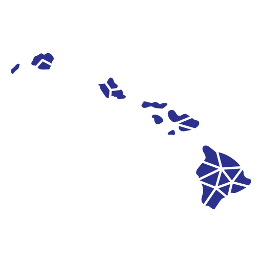
Estados geométricos do Havaí Desenho PNG
Escolha uma pasta
Todos os favoritos
Criar novo
Salvar
Estados geométricos do Havaí Desenho PNG
Premium
Windrose flecha oeste leste nord sul silhueta Desenho PNG
Escolha uma pasta
Todos os favoritos
Criar novo
Salvar
Windrose flecha oeste leste nord sul silhueta Desenho PNG
Estados duotônicos de Nevada Desenho PNG
Escolha uma pasta
Todos os favoritos
Criar novo
Salvar
Estados duotônicos de Nevada Desenho PNG
Estados duotônicos de Utah Desenho PNG
Escolha uma pasta
Todos os favoritos
Criar novo
Salvar
Estados duotônicos de Utah Desenho PNG
Estados duotônicos de Connecticut Desenho PNG
Escolha uma pasta
Todos os favoritos
Criar novo
Salvar
Estados duotônicos de Connecticut Desenho PNG
Inscreva-se
Para obter designs de uso comercial de alta qualidade para seus negócios
VER PLANOS
Próxima
do 14
prev page
next page