Biblioteca de design
Novos designs Merch
Camisetas
Vectores
Designs de Merch de Tendência
PNGs & SVGs
Mockups
Modelos de T-Shirt PSD
Explorar Desenhos
Designs KDP
Pôsteres
Canecas
Capas para celular
Sacos de compras
Almofadas
Ferramentas de desenho
Merch Designer
Novo!
Mockup Generator
Gerador de Design de AI
Vetorizador
Quote Generator
T-Shirt Maker (Antigo)
Ajuda
Merch Digest
Blog
Centro de Ajuda
Saiba mais sobre o Merch
Feedback
Soluções Corporativas
Empresa
Acesso à API
Estúdio de Design
Design em Lote
Preços
Carregando...
Inscrever-se
Conecte-se
All
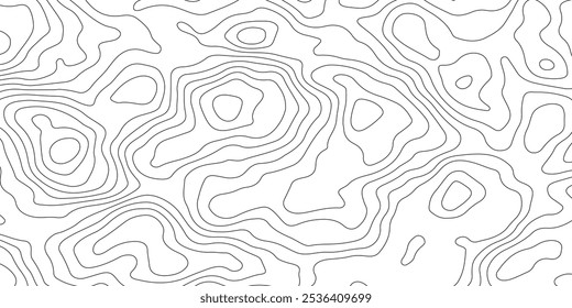
cartografia
Biblioteca de design
Novos designs Merch
Camisetas
Vectores
Designs de Merch de Tendência
PNGs & SVGs
Mockups
Modelos de T-Shirt PSD
Explorar Desenhos
Designs KDP
Pôsteres
Canecas
Capas para celular
Sacos de compras
Almofadas
Ferramentas de desenho
Merch Designer
Novo!
Mockup Generator
Gerador de Design de AI
Vetorizador
Quote Generator
T-Shirt Maker (Antigo)
Ajuda
Merch Digest
Blog
Centro de Ajuda
Saiba mais sobre o Merch
Feedback
Soluções Corporativas
Empresa
Acesso à API
Estúdio de Design
Design em Lote
PLANOS
All
cartografia
124 Gráficos e Designs de cartografia para Camisetas e Merch print on demand
Baixar designs de camisetas e para merch, como capas de livro, capas de celular, tote bags e mais de cartografia
Ordenar por
Mais relevante
Resultados patrocinados da
Ganhe 15% de desconto com o código: VEXELS15
veja mais detalhes
Premium
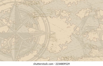
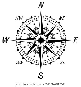
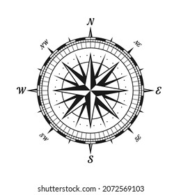
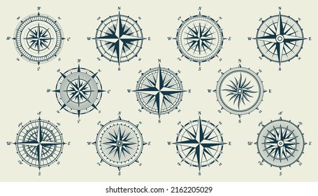
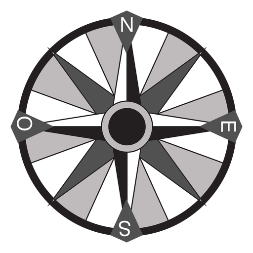
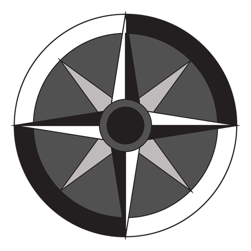
Flecha Windrose nord oeste sudeste plana Desenho PNG
Escolha uma pasta
Todos os favoritos
Criar novo
Salvar
Flecha Windrose nord oeste sudeste plana Desenho PNG
Premium
Windrose flecha oeste leste nord sul silhueta Desenho PNG
Escolha uma pasta
Todos os favoritos
Criar novo
Salvar
Windrose flecha oeste leste nord sul silhueta Desenho PNG
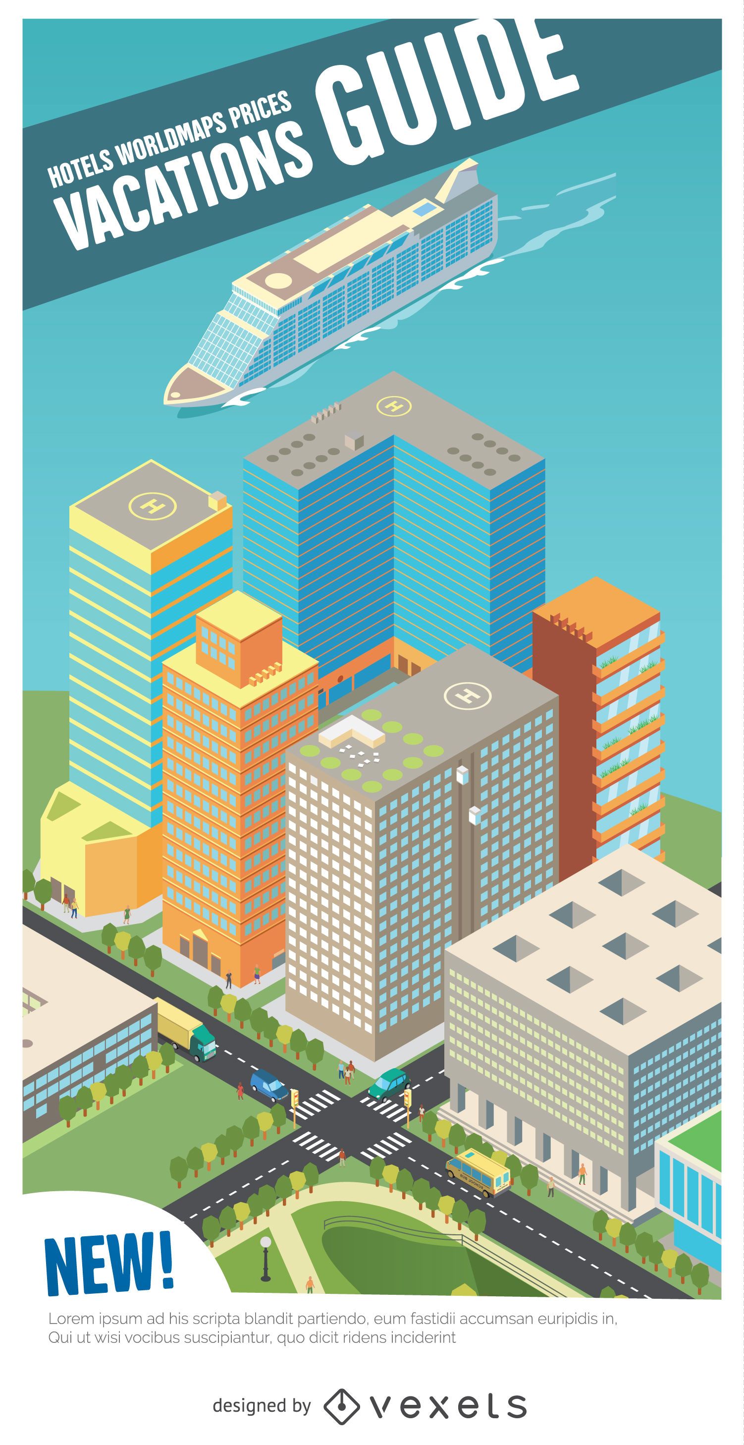
Guia de férias porto isométrico
Escolha uma pasta
Todos os favoritos
Criar novo
Salvar
Guia de férias porto isométrico
Premium
Silhueta estilizada do design do mapa da Índia Desenho PNG
Escolha uma pasta
Todos os favoritos
Criar novo
Salvar
Silhueta estilizada do design do mapa da Índia Desenho PNG
Premium
Silhueta do desenho do mapa da França Desenho PNG
Escolha uma pasta
Todos os favoritos
Criar novo
Salvar
Silhueta do desenho do mapa da França Desenho PNG
Premium
Esboço elegante do design do mapa de Taiwan Desenho PNG
Escolha uma pasta
Todos os favoritos
Criar novo
Salvar
Esboço elegante do design do mapa de Taiwan Desenho PNG
Premium
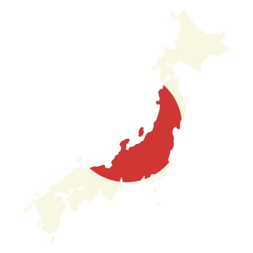
Mapa do Japão com bandeira vermelha Desenho PNG
Escolha uma pasta
Todos os favoritos
Criar novo
Salvar
Mapa do Japão com bandeira vermelha Desenho PNG
Premium
Flecha Windrose oeste nord sudeste plano Desenho PNG
Escolha uma pasta
Todos os favoritos
Criar novo
Salvar
Flecha Windrose oeste nord sudeste plano Desenho PNG
Premium
Mapa de contorno elegante do design do México Desenho PNG
Escolha uma pasta
Todos os favoritos
Criar novo
Salvar
Mapa de contorno elegante do design do México Desenho PNG
Premium
Windrose arrow sul nord leste oeste linha Desenho PNG
Escolha uma pasta
Todos os favoritos
Criar novo
Salvar
Windrose arrow sul nord leste oeste linha Desenho PNG
Premium
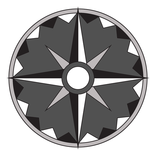
Windrose arrow west nord sudeste silhueta Desenho PNG
Escolha uma pasta
Todos os favoritos
Criar novo
Salvar
Windrose arrow west nord sudeste silhueta Desenho PNG
Premium
Esboço artístico do design geográfico canadense Desenho PNG
Escolha uma pasta
Todos os favoritos
Criar novo
Salvar
Esboço artístico do design geográfico canadense Desenho PNG
Premium
Windrose arrow nord leste oeste sul silhueta Desenho PNG
Escolha uma pasta
Todos os favoritos
Criar novo
Salvar
Windrose arrow nord leste oeste sul silhueta Desenho PNG
Premium
Flecha Windrose leste nord sudoeste apartamento Desenho PNG
Escolha uma pasta
Todos os favoritos
Criar novo
Salvar
Flecha Windrose leste nord sudoeste apartamento Desenho PNG
Premium
Windrose flecha leste nord oeste sul silhueta Desenho PNG
Escolha uma pasta
Todos os favoritos
Criar novo
Salvar
Windrose flecha leste nord oeste sul silhueta Desenho PNG
Premium
Windrose flecha leste sul nord oeste plana Desenho PNG
Escolha uma pasta
Todos os favoritos
Criar novo
Salvar
Windrose flecha leste sul nord oeste plana Desenho PNG
Premium
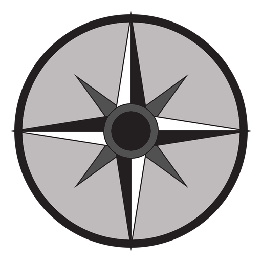
Flecha Windrose sul nord oeste leste plana Desenho PNG
Escolha uma pasta
Todos os favoritos
Criar novo
Salvar
Flecha Windrose sul nord oeste leste plana Desenho PNG
Premium
Globo rosa e branco Desenho PNG
Escolha uma pasta
Todos os favoritos
Criar novo
Salvar
Globo rosa e branco Desenho PNG
Premium
Design de mapa estilizado de El Salvador com emblema Desenho PNG
Escolha uma pasta
Todos os favoritos
Criar novo
Salvar
Design de mapa estilizado de El Salvador com emblema Desenho PNG
Premium
Contorno preto simples de um design de mapa de país Desenho PNG
Escolha uma pasta
Todos os favoritos
Criar novo
Salvar
Contorno preto simples de um design de mapa de país Desenho PNG
Premium
Mapa minimalista de Hong Kong Desenho PNG
Escolha uma pasta
Todos os favoritos
Criar novo
Salvar
Mapa minimalista de Hong Kong Desenho PNG
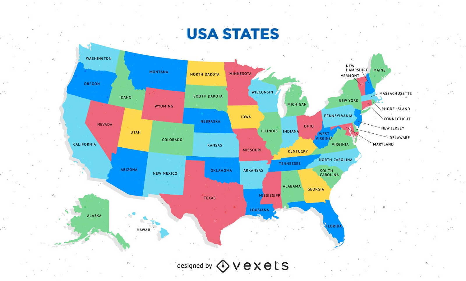
Mapa dos EUA colorido gratuito com vetor de estados
Escolha uma pasta
Todos os favoritos
Criar novo
Salvar
Mapa dos EUA colorido gratuito com vetor de estados
Premium
Design minimalista de contorno de mapa preto para camiseta Marrocos Desenho PNG
Escolha uma pasta
Todos os favoritos
Criar novo
Salvar
Design minimalista de contorno de mapa preto para camiseta Marrocos Desenho PNG
Premium
Mapa de silhueta elegante da Estônia Desenho PNG
Escolha uma pasta
Todos os favoritos
Criar novo
Salvar
Mapa de silhueta elegante da Estônia Desenho PNG
Impulsione seu negócio
Com a plataforma gráfica líder de mercado.
Ver planos
do 3
prev page
next page