Biblioteca de design
Novos designs Merch
Camisetas
Vectores
Designs de Merch de Tendência
PNGs & SVGs
Mockups
Modelos de T-Shirt PSD
Explorar Desenhos
Designs KDP
Pôsteres
Canecas
Capas para celular
Sacos de compras
Almofadas
Ferramentas de desenho
Merch Designer
Novo!
Mockup Generator
Gerador de Design de AI
Vetorizador
Quote Generator
T-Shirt Maker (Antigo)
Ajuda
Merch Digest
Blog
Centro de Ajuda
Saiba mais sobre o Merch
Feedback
Soluções Corporativas
Empresa
Acesso à API
Estúdio de Design
Design em Lote
Preços
Carregando...
Inscrever-se
Conecte-se
All
estados
Biblioteca de design
Novos designs Merch
Camisetas
Vectores
Designs de Merch de Tendência
PNGs & SVGs
Mockups
Modelos de T-Shirt PSD
Explorar Desenhos
Designs KDP
Pôsteres
Canecas
Capas para celular
Sacos de compras
Almofadas
Ferramentas de desenho
Merch Designer
Novo!
Mockup Generator
Gerador de Design de AI
Vetorizador
Quote Generator
T-Shirt Maker (Antigo)
Ajuda
Merch Digest
Blog
Centro de Ajuda
Saiba mais sobre o Merch
Feedback
Soluções Corporativas
Empresa
Acesso à API
Estúdio de Design
Design em Lote
PLANOS
All
estados
3410 Gráficos e Designs de estados para Camisetas e Merch print on demand
Baixar designs de camisetas e para merch, como capas de livro, capas de celular, tote bags e mais de estados
Relacionado:
estados unidos
,
produzido nos estados unidos
,
bandeira dos estados unidos
Ordenar por
Mais relevante
Resultados patrocinados da
Ganhe 15% de desconto com o código: VEXELS15
veja mais detalhes
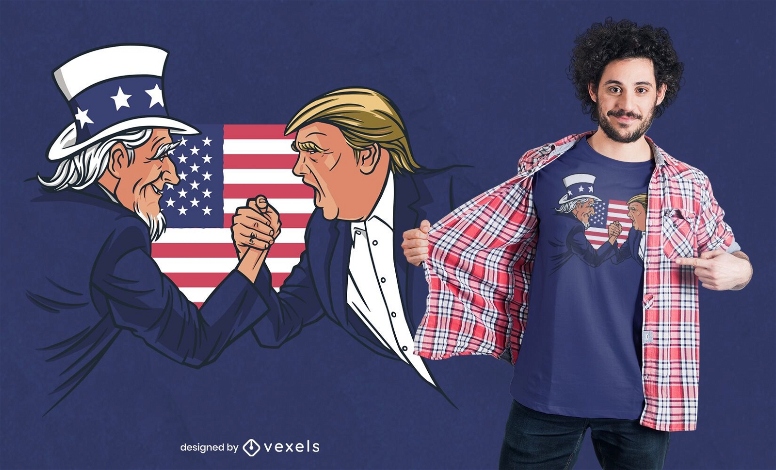
Pronto para imprimir
para Merch
Design de camisetas do Tio Sam e Trump
Escolha uma pasta
Todos os favoritos
Criar novo
Salvar
Design de camisetas do Tio Sam e Trump
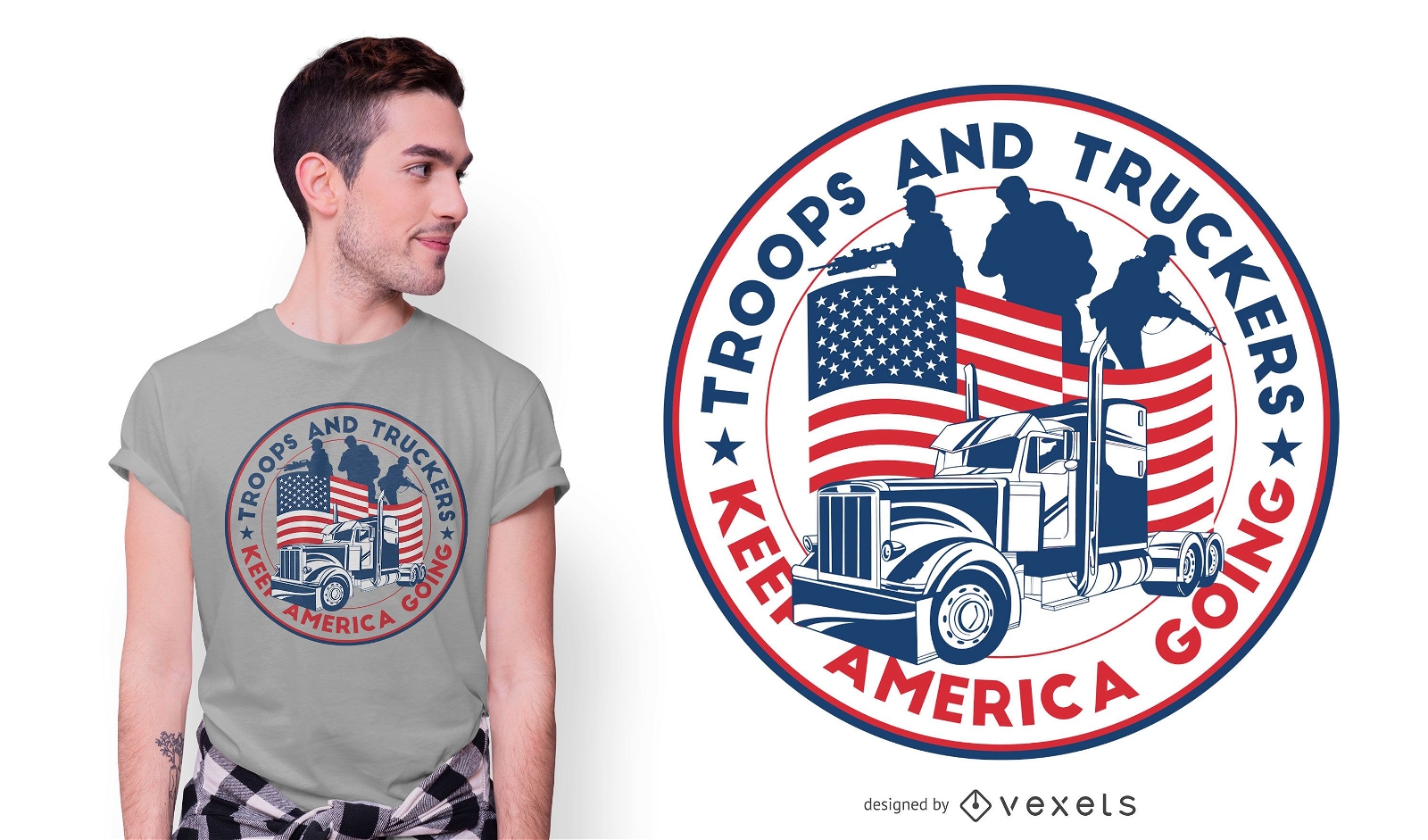
Pronto para imprimir
para Merch
Design de camisetas American Truckers
Escolha uma pasta
Todos os favoritos
Criar novo
Salvar
Design de camisetas American Truckers
Premium
Adesivo de skyline de monumento de casa branca de Washington Desenho PNG
Escolha uma pasta
Todos os favoritos
Criar novo
Salvar
Adesivo de skyline de monumento de casa branca de Washington Desenho PNG
para Merch
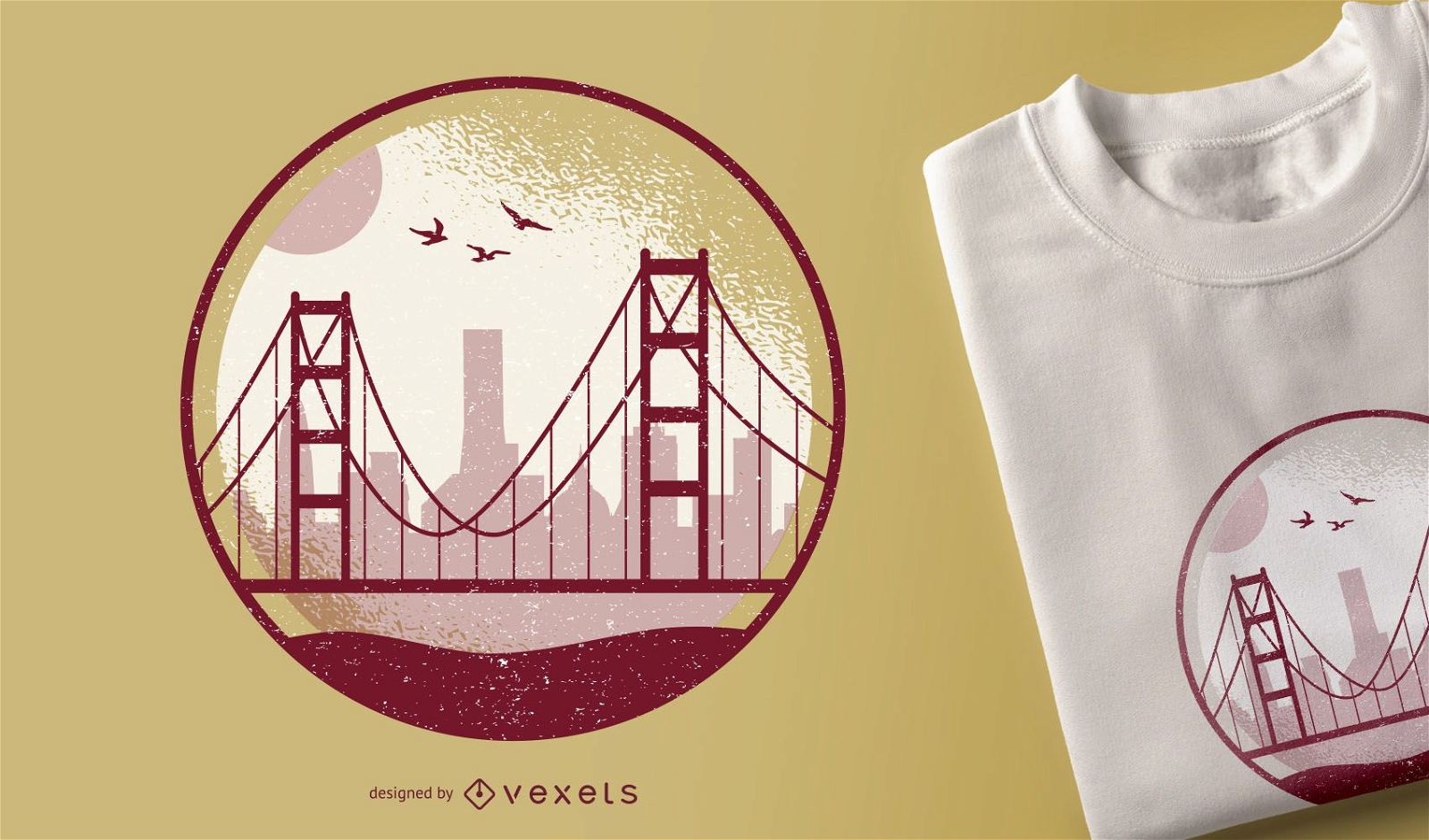
Design de camisetas Golden Gate
Escolha uma pasta
Todos os favoritos
Criar novo
Salvar
Design de camisetas Golden Gate
Premium
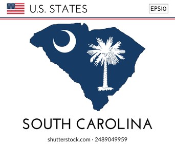
Bandeira do estado do Alabama Desenho PNG
Escolha uma pasta
Todos os favoritos
Criar novo
Salvar
Bandeira do estado do Alabama Desenho PNG
Premium
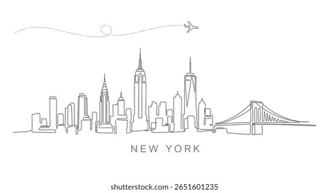
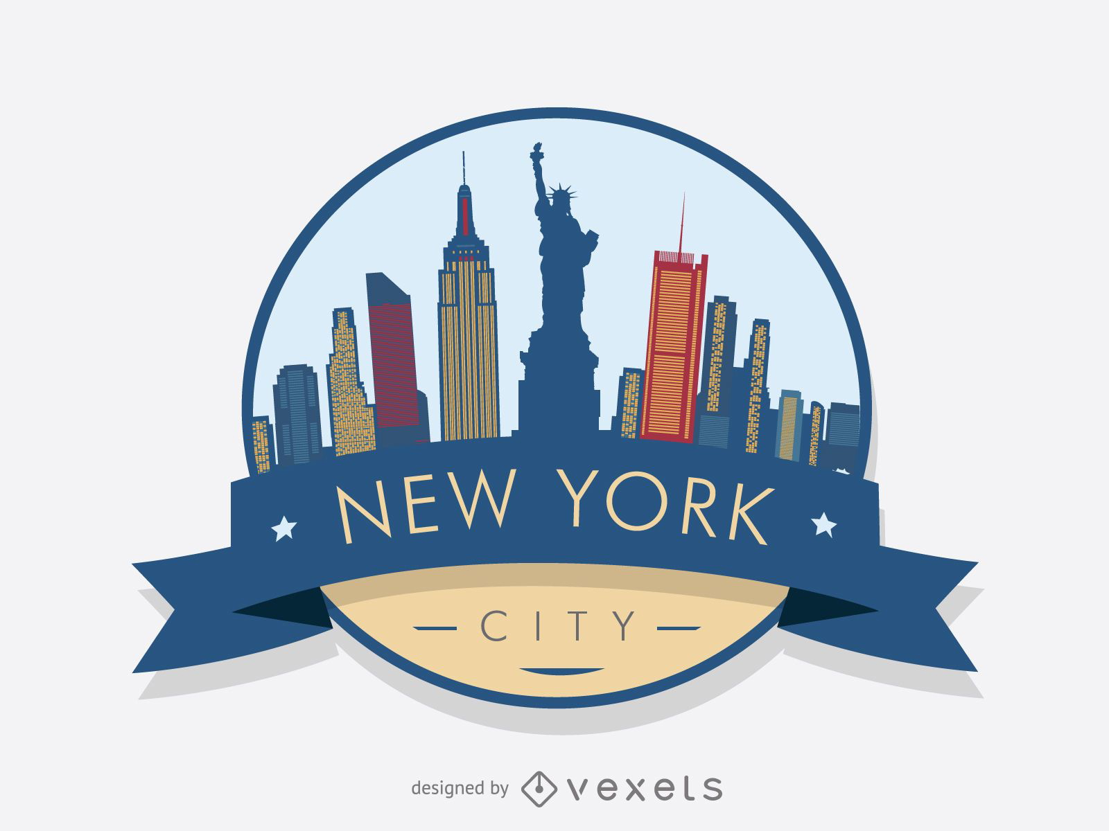
Emblema do horizonte de Nova York
Escolha uma pasta
Todos os favoritos
Criar novo
Salvar
Emblema do horizonte de Nova York
Premium
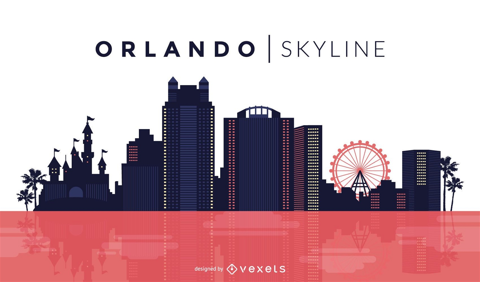
Desenho do horizonte de Orlando
Escolha uma pasta
Todos os favoritos
Criar novo
Salvar
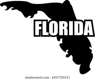
Desenho do horizonte de Orlando
texto editável
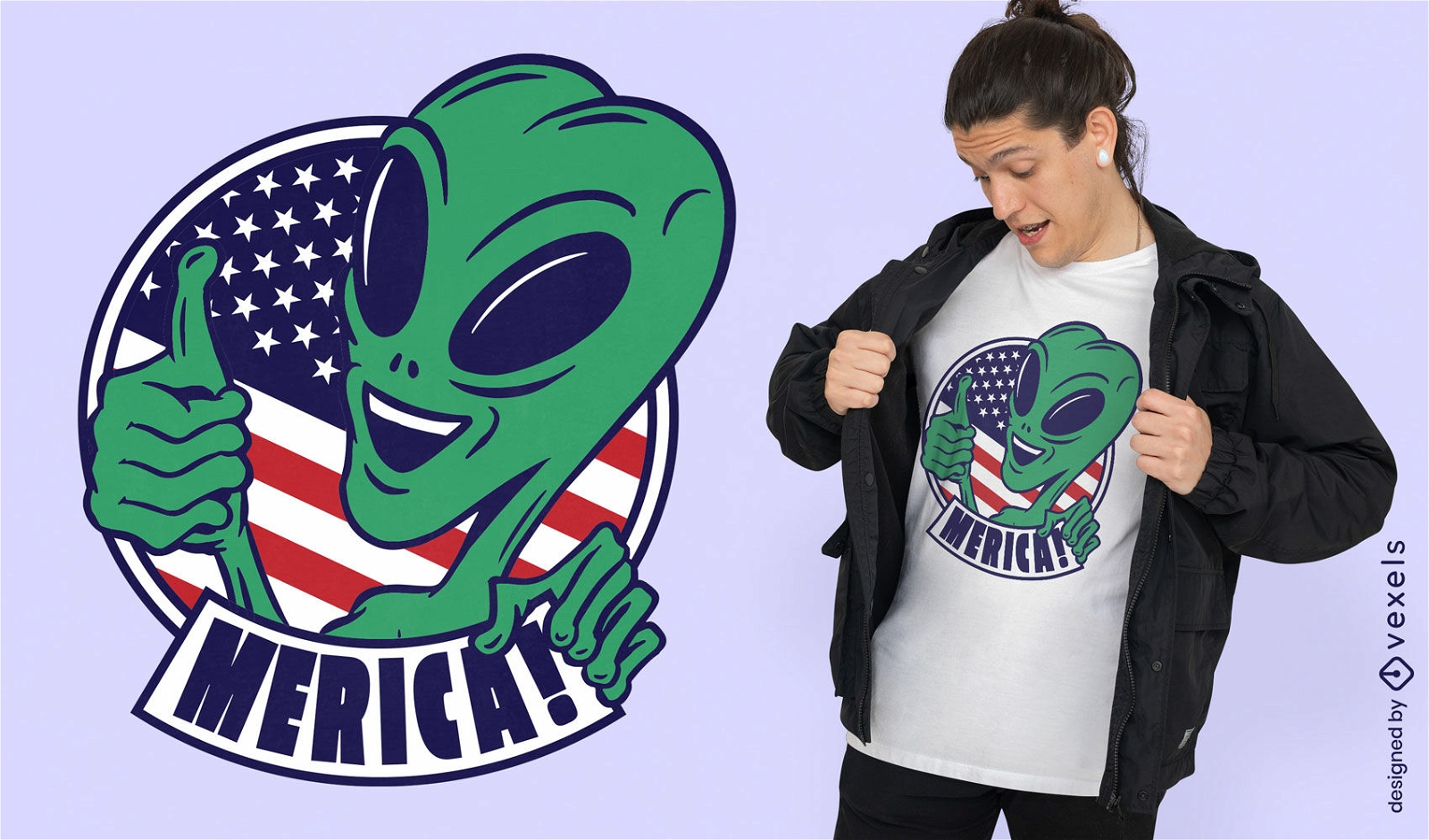
Pronto para imprimir
para Merch
Alien com design de camiseta de bandeira americana
Escolha uma pasta
Todos os favoritos
Criar novo
Salvar
Alien com design de camiseta de bandeira americana
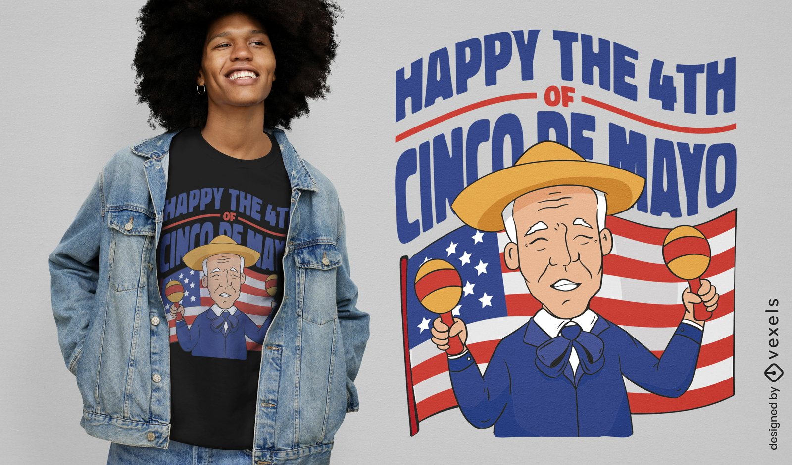
Pronto para imprimir
para Merch
Design de camiseta Joe Biden Cinco de Mayo
Escolha uma pasta
Todos os favoritos
Criar novo
Salvar
Design de camiseta Joe Biden Cinco de Mayo
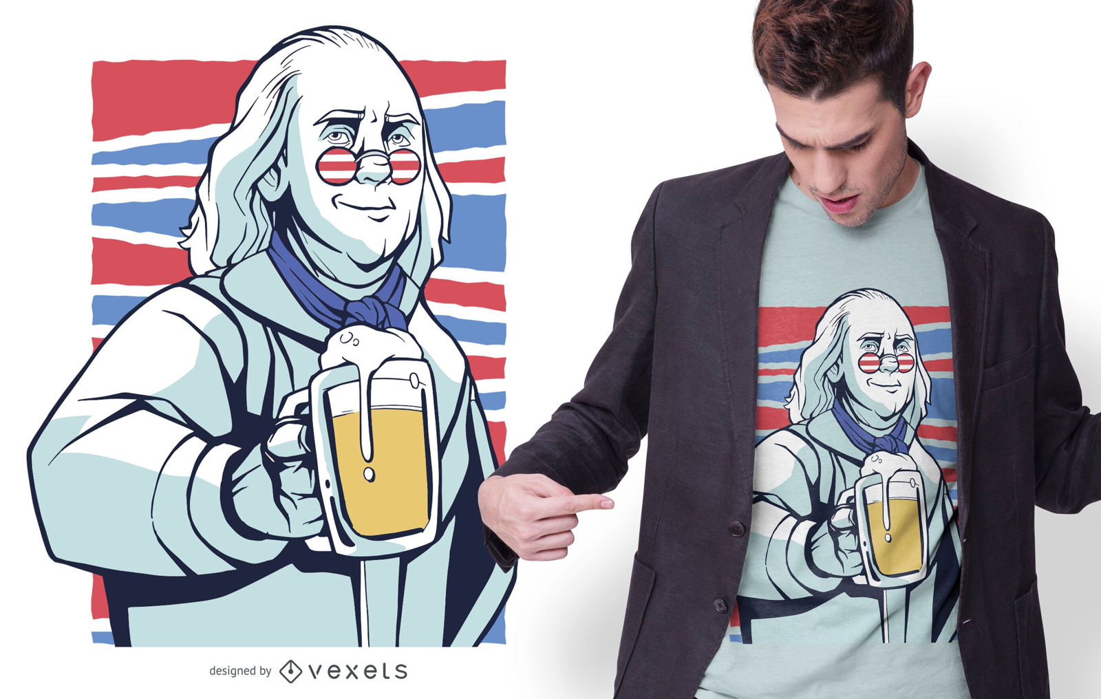
Pronto para imprimir
para Merch
Design de camiseta da cerveja Franklin
Escolha uma pasta
Todos os favoritos
Criar novo
Salvar
Design de camiseta da cerveja Franklin
Silhueta do horizonte de Denver
Escolha uma pasta
Todos os favoritos
Criar novo
Salvar
Silhueta do horizonte de Denver
Premium
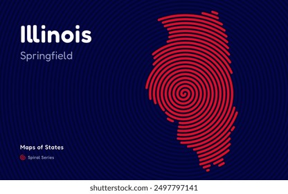
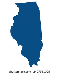
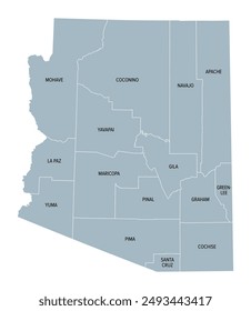
Mapa plano do estado illionois Desenho PNG
Escolha uma pasta
Todos os favoritos
Criar novo
Salvar
Mapa plano do estado illionois Desenho PNG
Premium
Mapa da planície do estado da Dakota do Sul Desenho PNG
Escolha uma pasta
Todos os favoritos
Criar novo
Salvar
Mapa da planície do estado da Dakota do Sul Desenho PNG
Silhueta de paisagem urbana de horizonte de Chicago Desenho PNG
Escolha uma pasta
Todos os favoritos
Criar novo
Salvar
Silhueta de paisagem urbana de horizonte de Chicago Desenho PNG
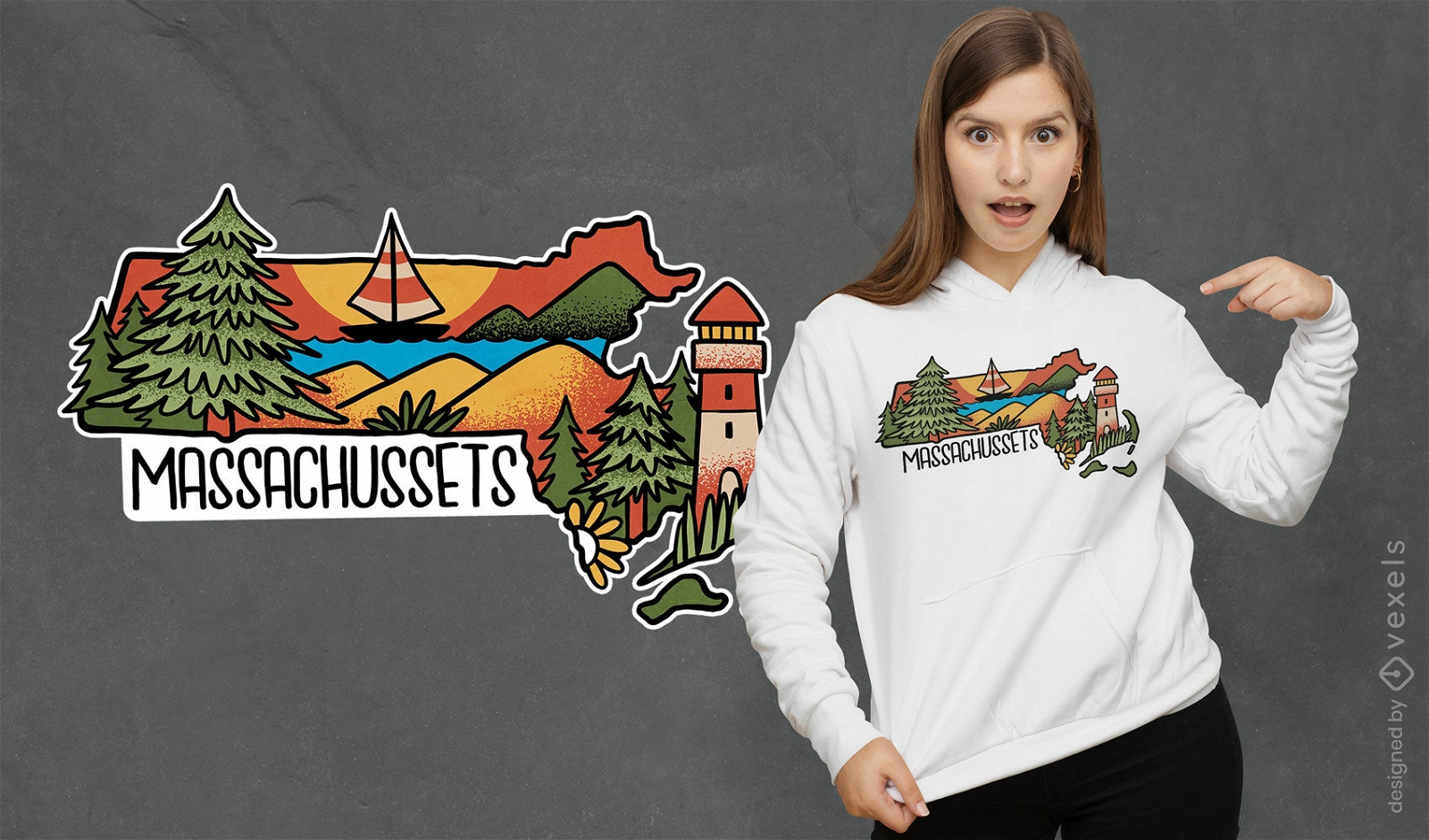
Pronto para imprimir
para Merch
Design de camiseta do estado de Massachusetts
Escolha uma pasta
Todos os favoritos
Criar novo
Salvar
Design de camiseta do estado de Massachusetts
Mapa de acidentes vasculares cerebrais do estado de Rhode Island Desenho PNG
Escolha uma pasta
Todos os favoritos
Criar novo
Salvar
Mapa de acidentes vasculares cerebrais do estado de Rhode Island Desenho PNG
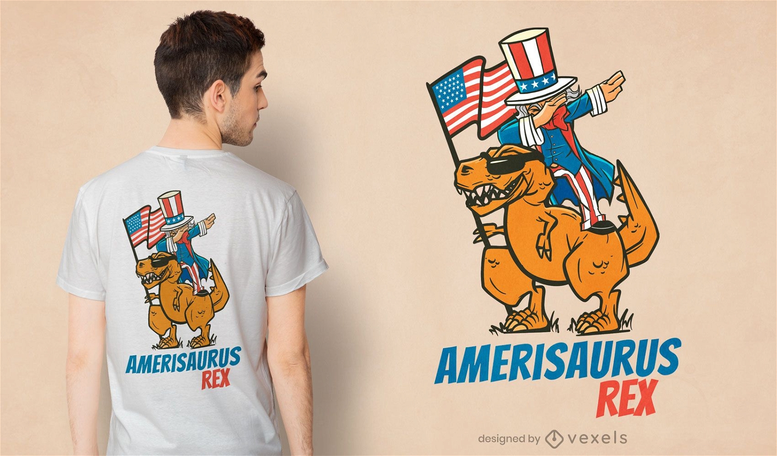
Pronto para imprimir
para Merch
Design de camiseta do Tio Sam andando de t-rex
Escolha uma pasta
Todos os favoritos
Criar novo
Salvar
Design de camiseta do Tio Sam andando de t-rex
FourthofJuly-StarsandStripes-VintageEtchPrint-Vinyl-CR - 12 Desenho PNG
Escolha uma pasta
Todos os favoritos
Criar novo
Salvar
FourthofJuly-StarsandStripes-VintageEtchPrint-Vinyl-CR - 12 Desenho PNG
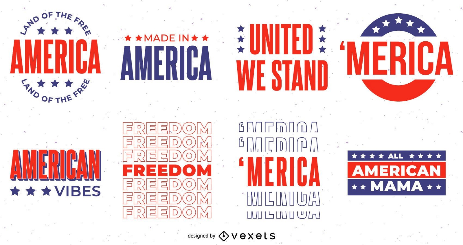
Premium
Conjunto de letras de 4 de julho
Escolha uma pasta
Todos os favoritos
Criar novo
Salvar
Conjunto de letras de 4 de julho
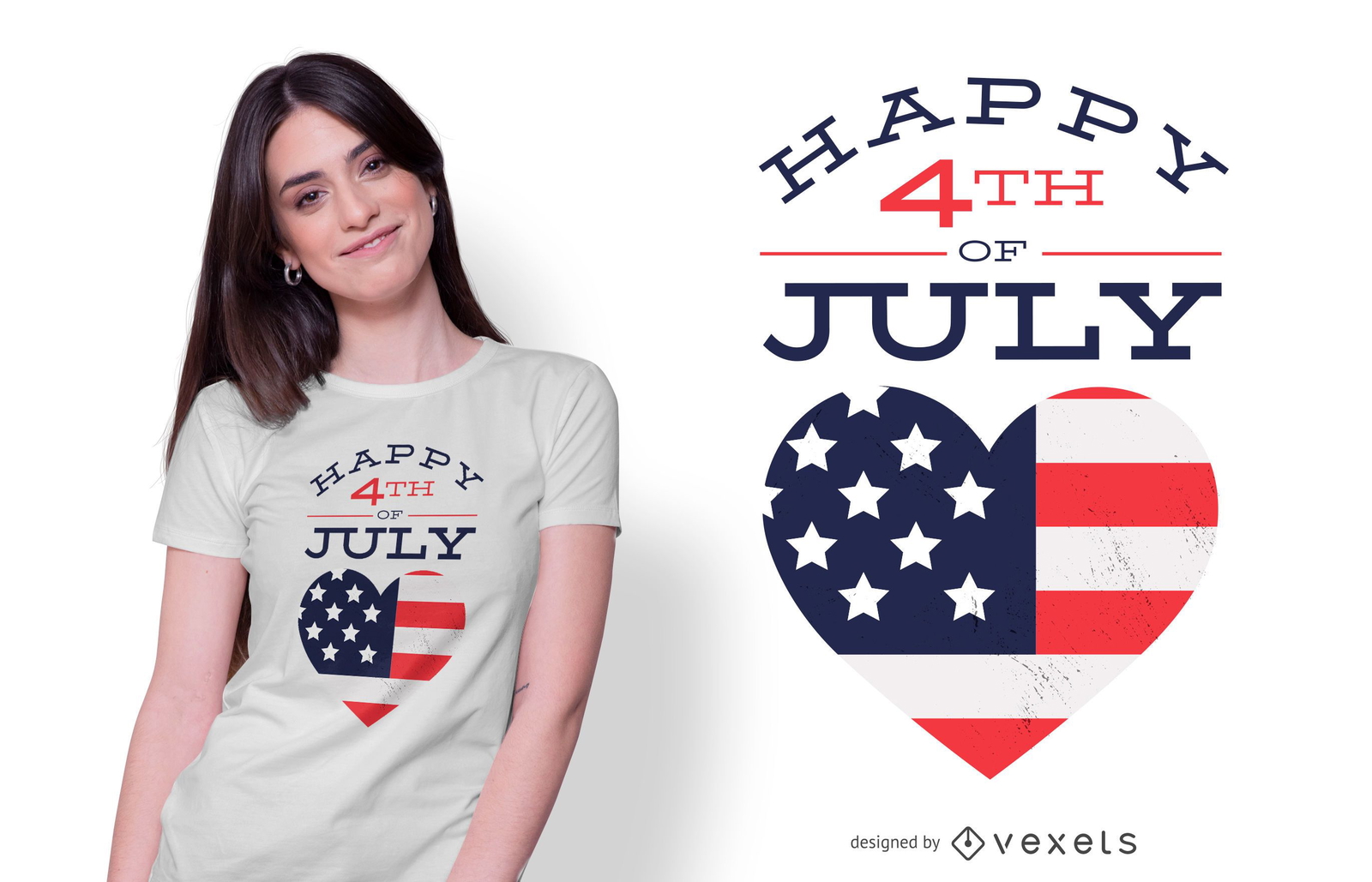
para Merch
Feliz 4 de julho T-shirt Design
Escolha uma pasta
Todos os favoritos
Criar novo
Salvar
Feliz 4 de julho T-shirt Design
Letras de quatro de julho Desenho PNG
Escolha uma pasta
Todos os favoritos
Criar novo
Salvar
Letras de quatro de julho Desenho PNG
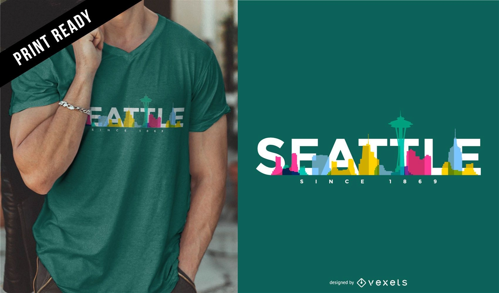
para Merch
Design de camiseta do horizonte de Seattle
Escolha uma pasta
Todos os favoritos
Criar novo
Salvar
Design de camiseta do horizonte de Seattle
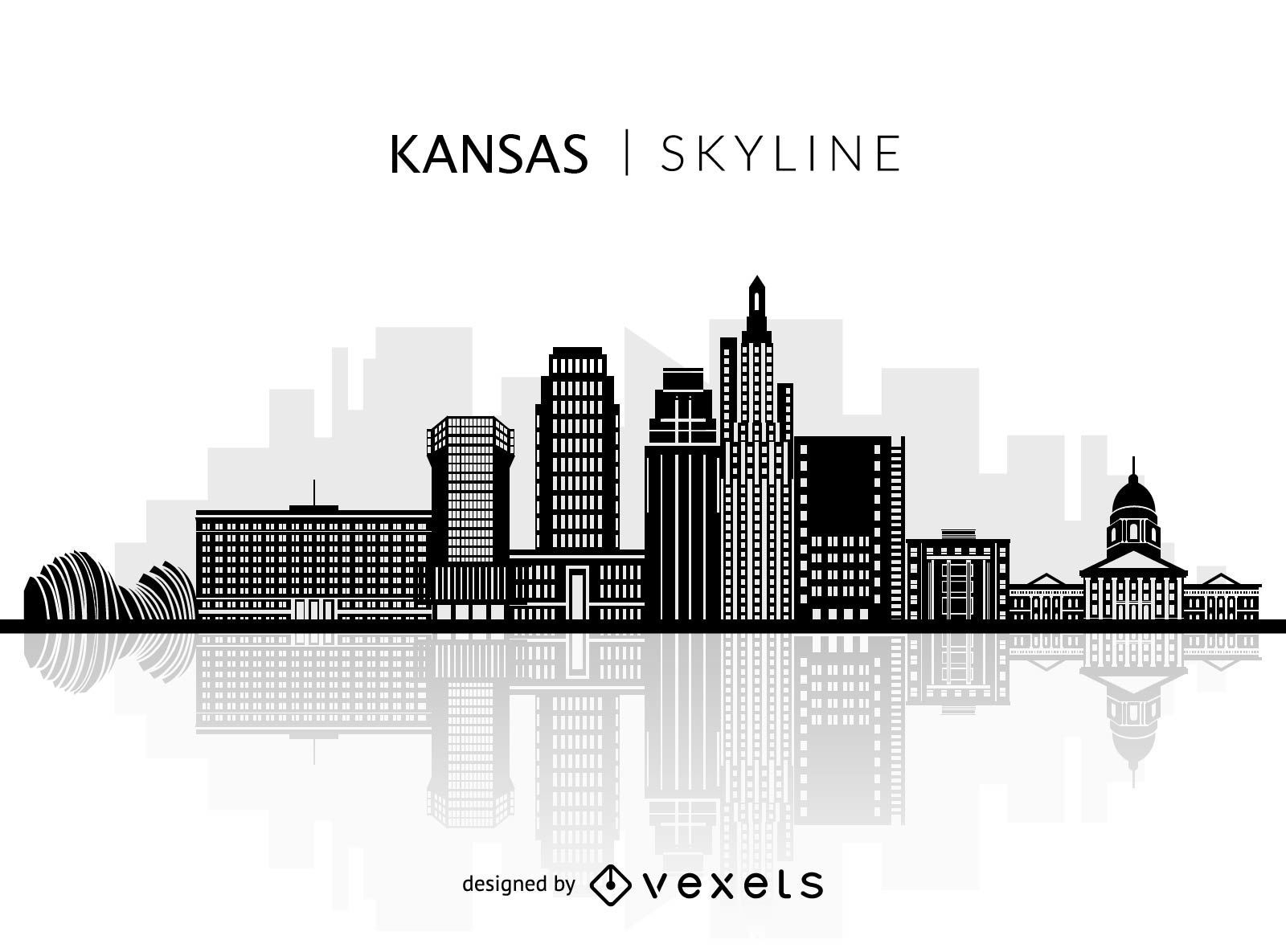
Premium
Silhueta do horizonte do Kansas
Escolha uma pasta
Todos os favoritos
Criar novo
Salvar
Silhueta do horizonte do Kansas
Premium
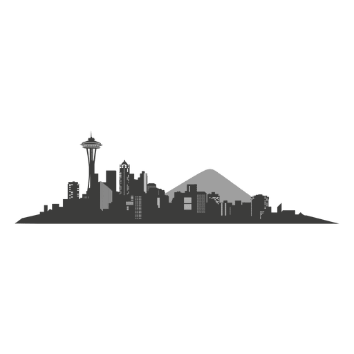
Seattle Skyline Silhouette Desenho PNG
Escolha uma pasta
Todos os favoritos
Criar novo
Salvar
Seattle Skyline Silhouette Desenho PNG
Silhueta de mapa de Iowa EUA Desenho PNG
Escolha uma pasta
Todos os favoritos
Criar novo
Salvar
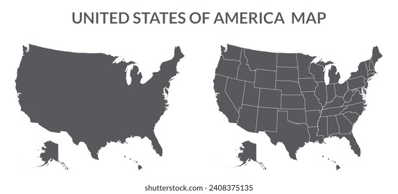
Silhueta de mapa de Iowa EUA Desenho PNG
Mapa de acidente vascular cerebral do estado de Wisconsin Desenho PNG
Escolha uma pasta
Todos os favoritos
Criar novo
Salvar
Mapa de acidente vascular cerebral do estado de Wisconsin Desenho PNG
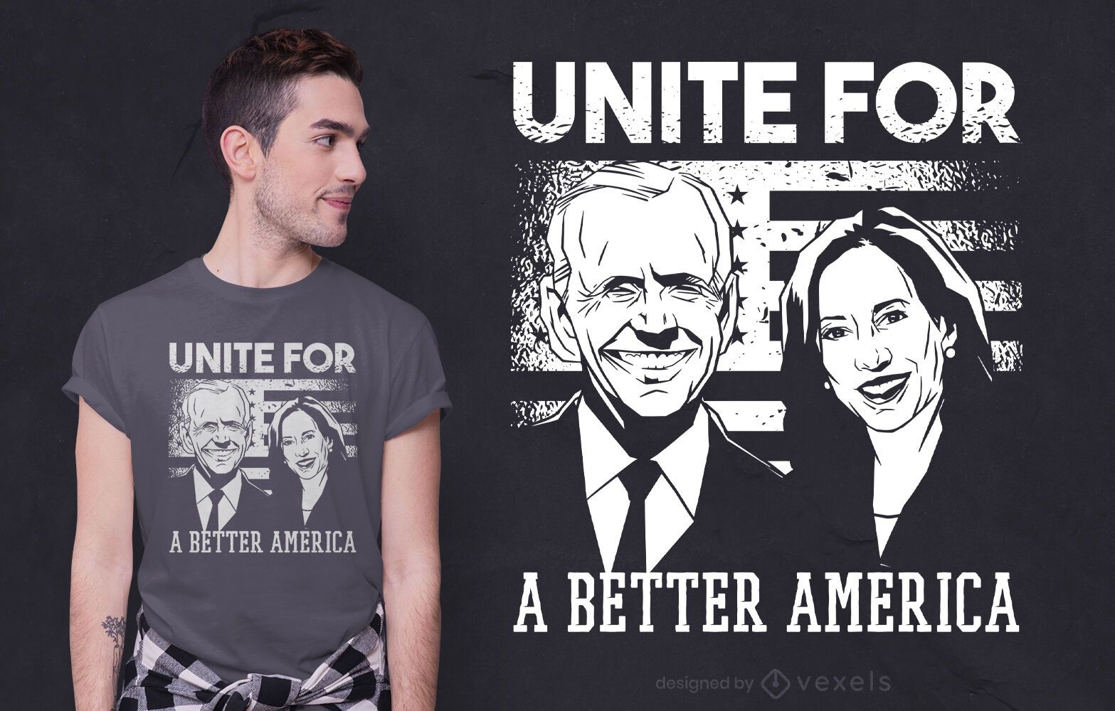
Pronto para imprimir
para Merch
Um design melhor de camiseta america
Escolha uma pasta
Todos os favoritos
Criar novo
Salvar
Um design melhor de camiseta america
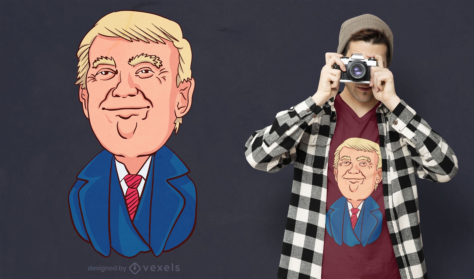
Pronto para imprimir
para Merch
Design de t-shirt Happy Trump
Escolha uma pasta
Todos os favoritos
Criar novo
Salvar
Design de t-shirt Happy Trump
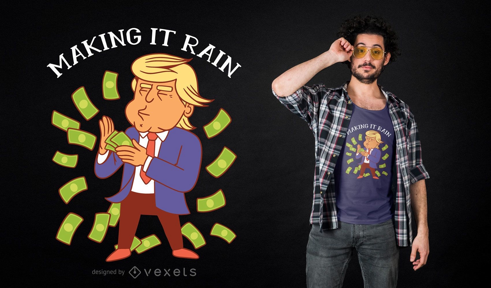
para Merch
Trump Making Rain T-shirt Design
Escolha uma pasta
Todos os favoritos
Criar novo
Salvar
Trump Making Rain T-shirt Design
Premium
4 de julho desenho padrão de doodle
Escolha uma pasta
Todos os favoritos
Criar novo
Salvar
4 de julho desenho padrão de doodle
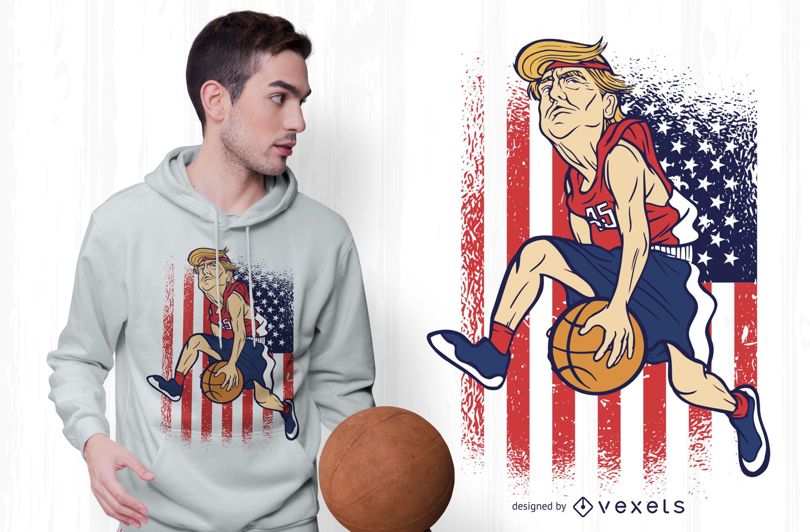
Pronto para imprimir
para Merch
Design de camisetas Trump Basketball
Escolha uma pasta
Todos os favoritos
Criar novo
Salvar
Design de camisetas Trump Basketball
Elemento de fogos de artifício patriótico Desenho PNG
Escolha uma pasta
Todos os favoritos
Criar novo
Salvar
Elemento de fogos de artifício patriótico Desenho PNG
Premium
Autocolante de skyline de Atlanta Desenho PNG
Escolha uma pasta
Todos os favoritos
Criar novo
Salvar
Autocolante de skyline de Atlanta Desenho PNG
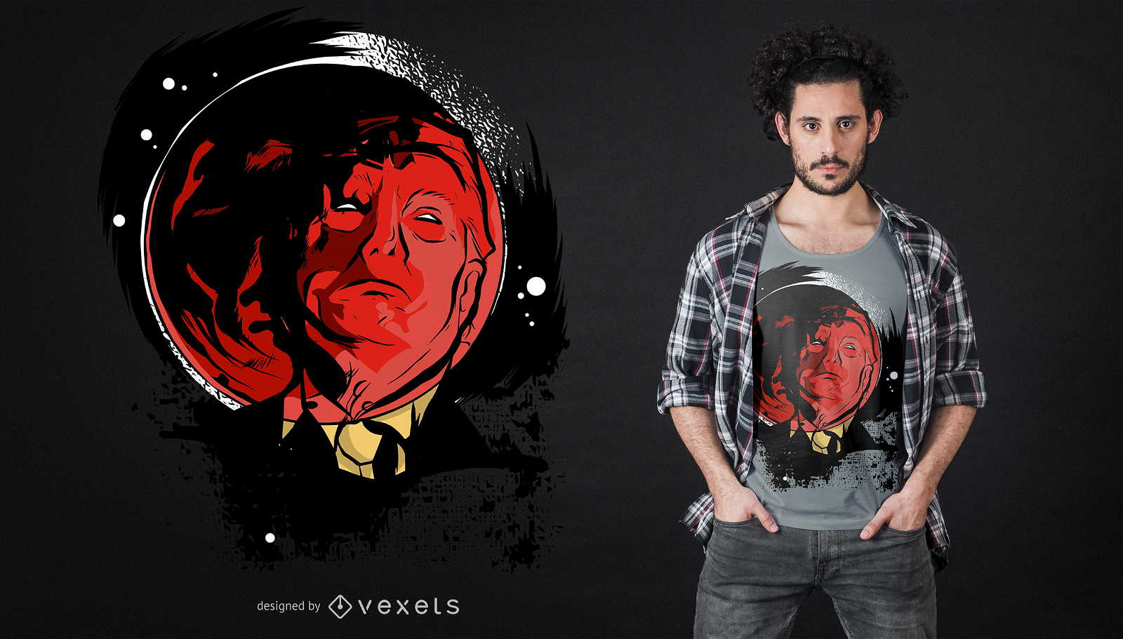
Pronto para imprimir
para Merch
Design de camiseta Trump Eclipse
Escolha uma pasta
Todos os favoritos
Criar novo
Salvar
Design de camiseta Trump Eclipse
Premium
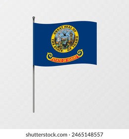
Bandeira do estado do Havaí Desenho PNG
Escolha uma pasta
Todos os favoritos
Criar novo
Salvar
Bandeira do estado do Havaí Desenho PNG
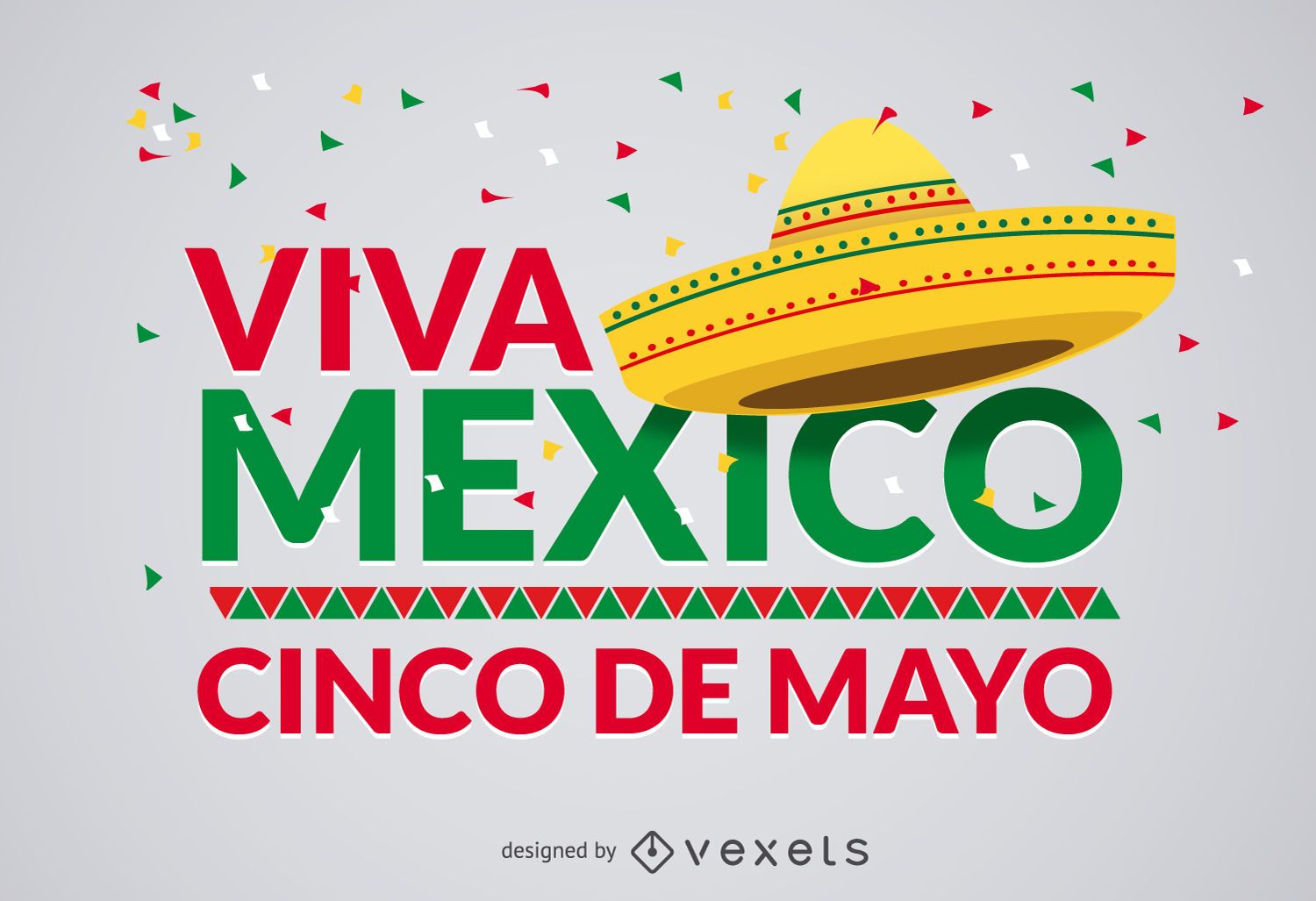
Projeto Cinco de Mayo Viva Mexico
Escolha uma pasta
Todos os favoritos
Criar novo
Salvar
Projeto Cinco de Mayo Viva Mexico
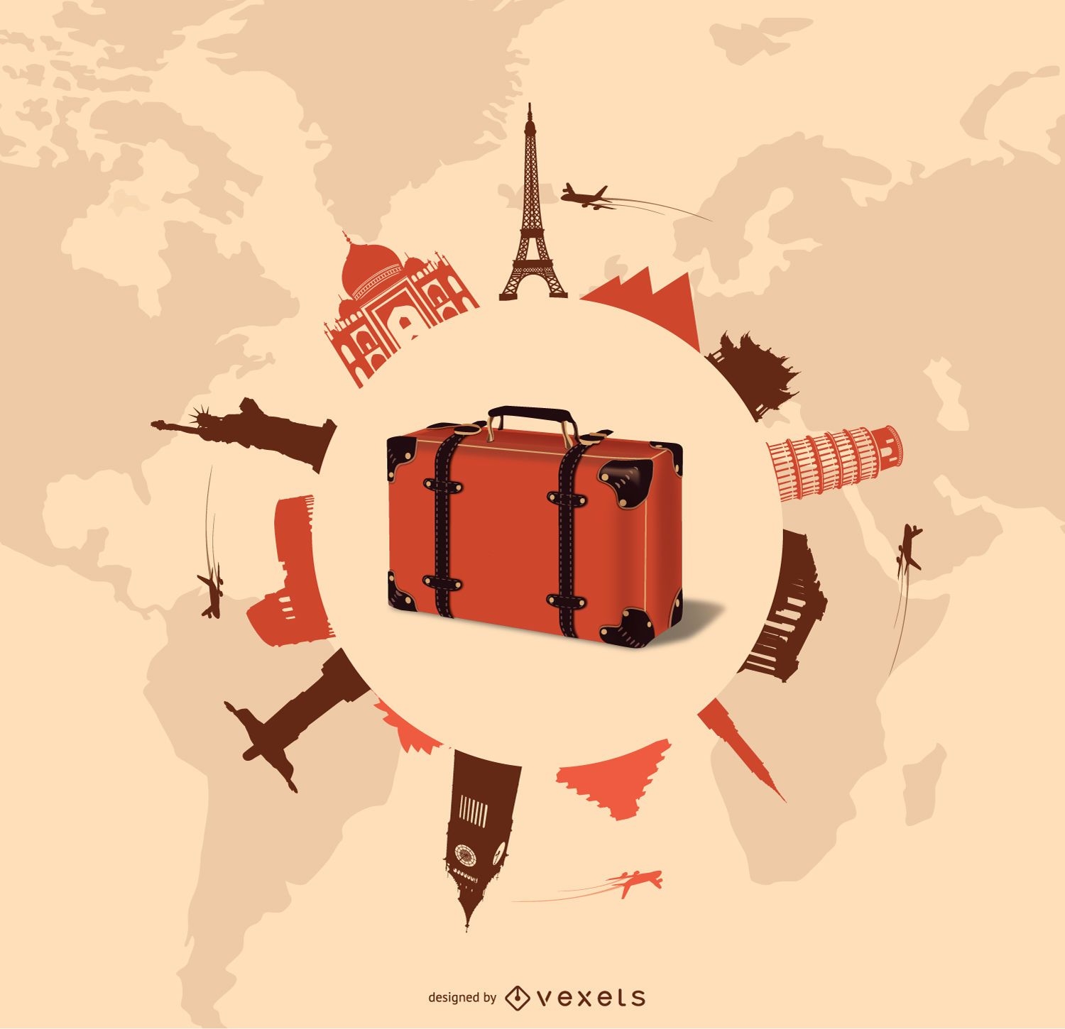
Design de viagens e turismo
Escolha uma pasta
Todos os favoritos
Criar novo
Salvar
Design de viagens e turismo
texto editável
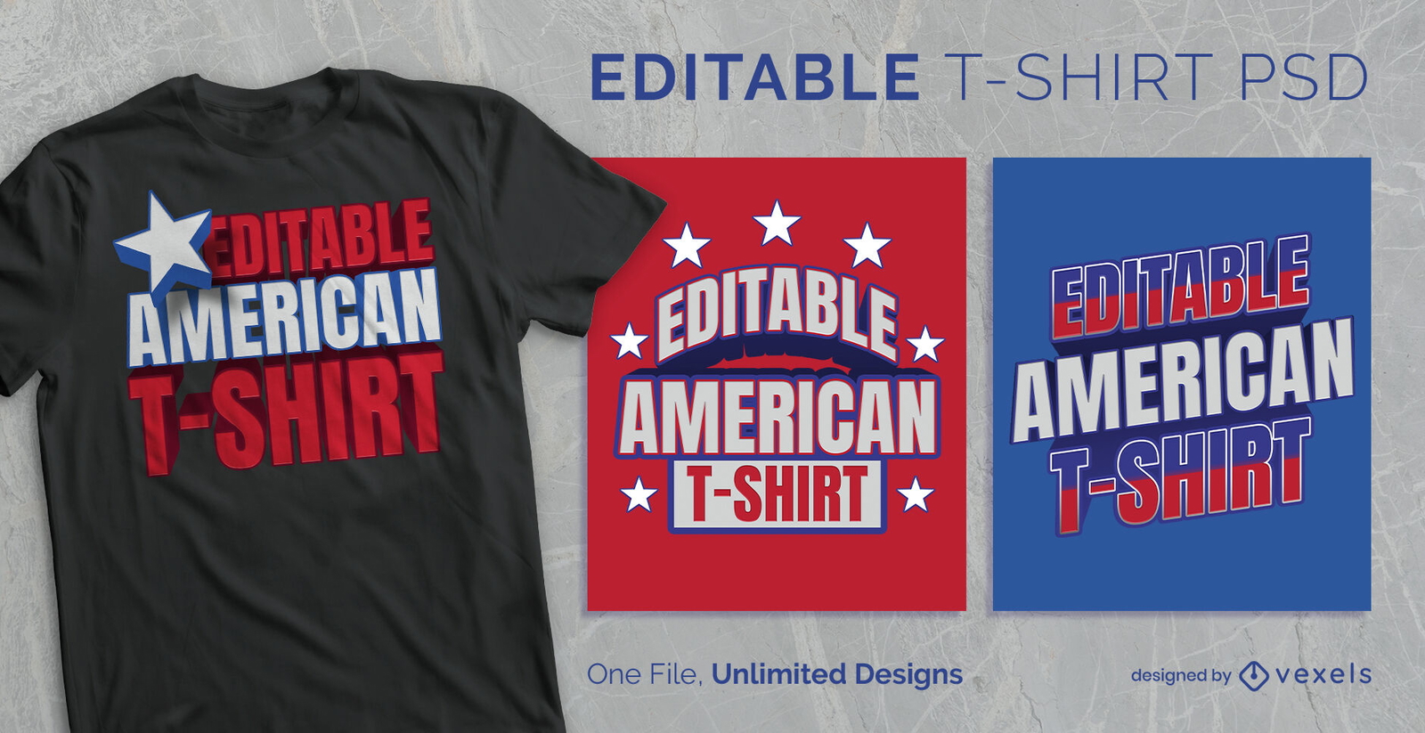
para Merch
T-shirt escalável de estilo americano clássico psd
Escolha uma pasta
Todos os favoritos
Criar novo
Salvar
T-shirt escalável de estilo americano clássico psd
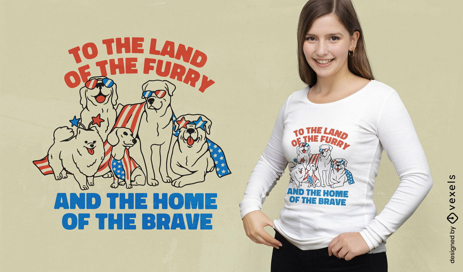
texto editável
Pronto para imprimir
para Merch
Design de camiseta de cães americanos patrióticos
Escolha uma pasta
Todos os favoritos
Criar novo
Salvar
Design de camiseta de cães americanos patrióticos
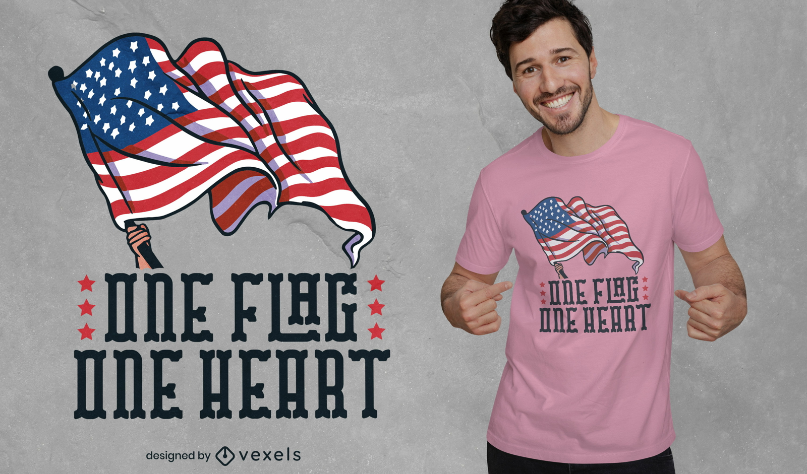
Pronto para imprimir
para Merch
Design de t-shirt patriota de uma bandeira
Escolha uma pasta
Todos os favoritos
Criar novo
Salvar
Design de t-shirt patriota de uma bandeira
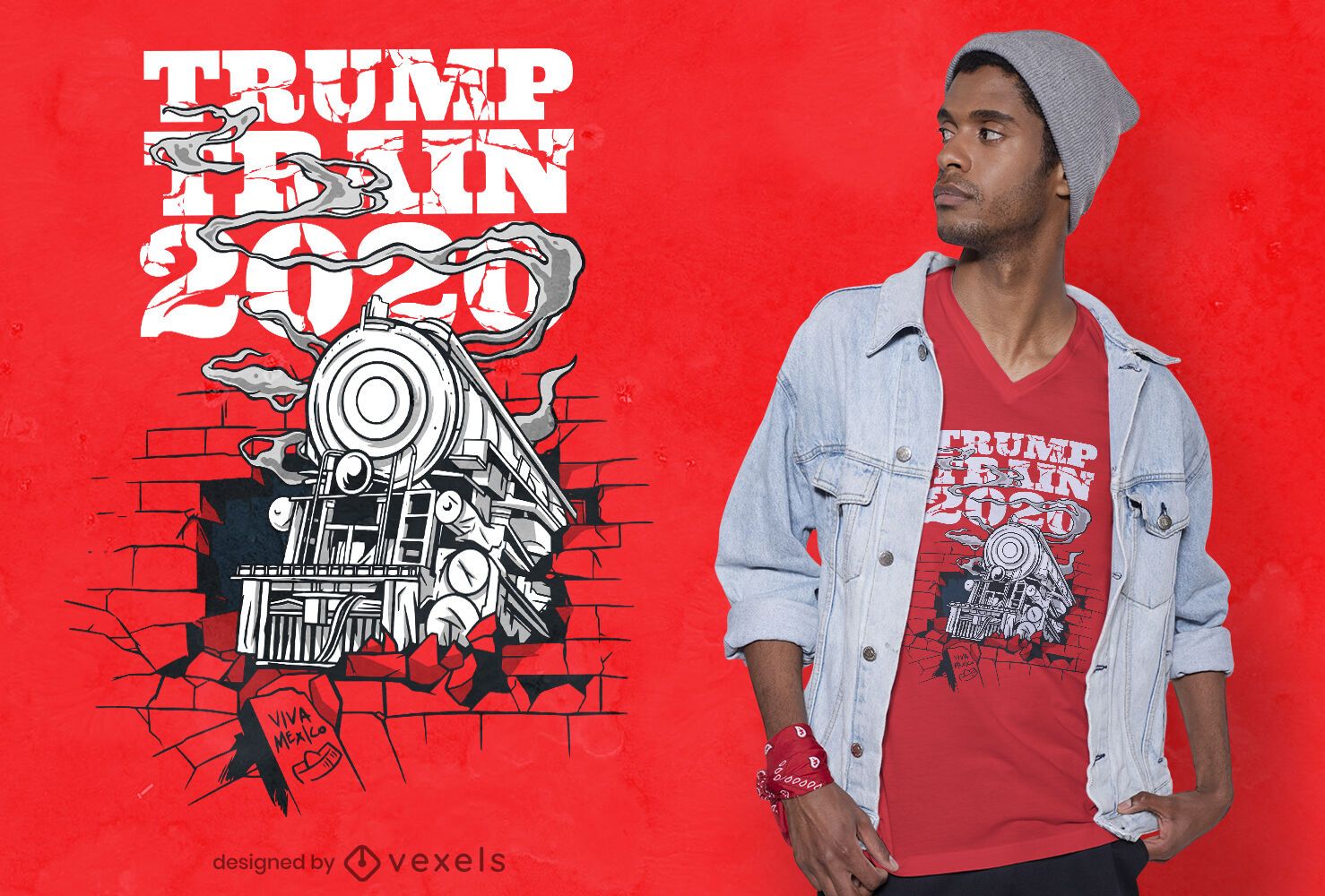
Pronto para imprimir
para Merch
Design de camiseta Trump Train 2020
Escolha uma pasta
Todos os favoritos
Criar novo
Salvar
Design de camiseta Trump Train 2020
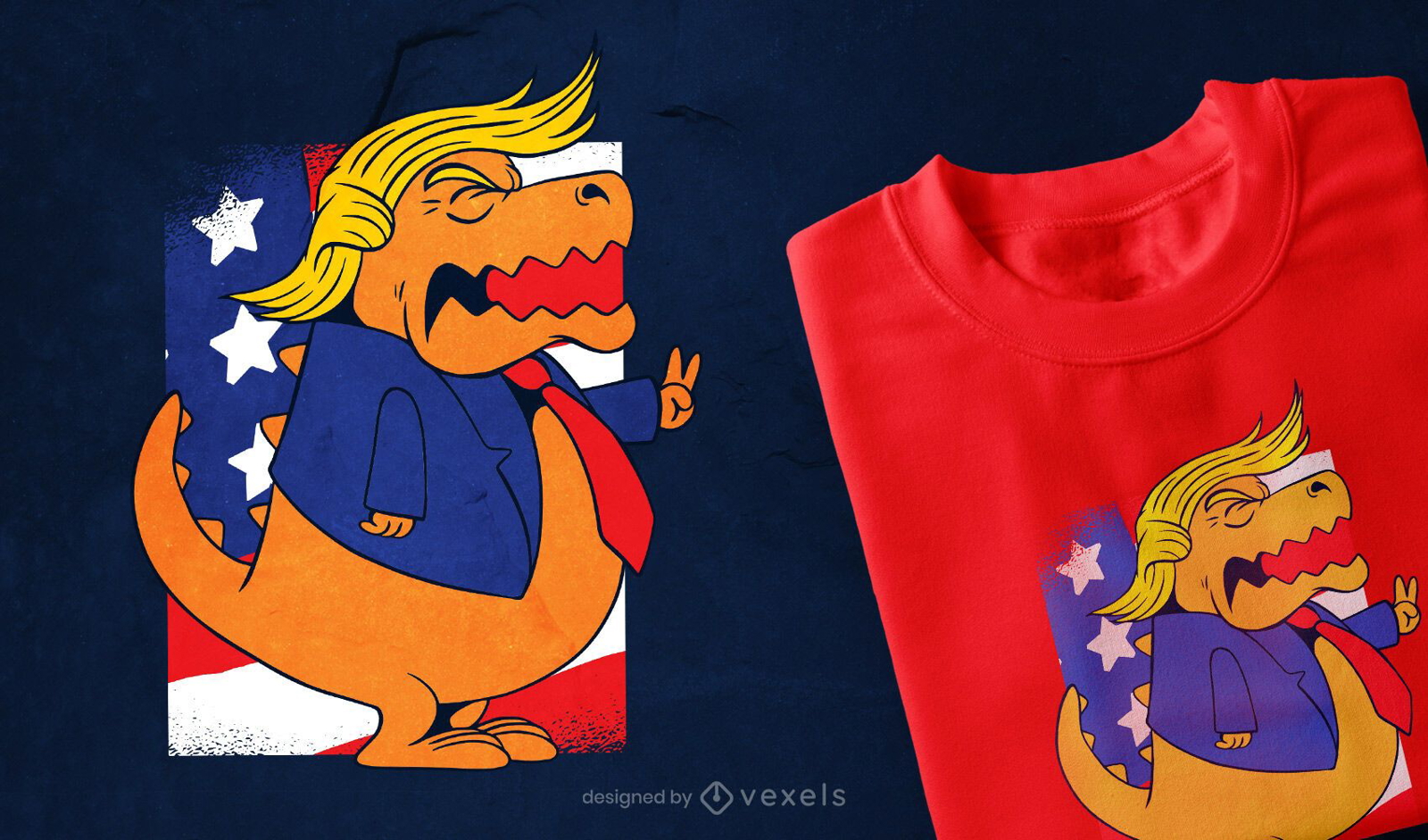
Pronto para imprimir
para Merch
Design de camisetas Trump T-rex
Escolha uma pasta
Todos os favoritos
Criar novo
Salvar
Design de camisetas Trump T-rex
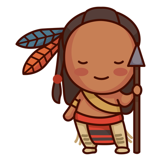
Nativo americano bonito Desenho PNG
Escolha uma pasta
Todos os favoritos
Criar novo
Salvar
Nativo americano bonito Desenho PNG
Pronto para imprimir
para Merch
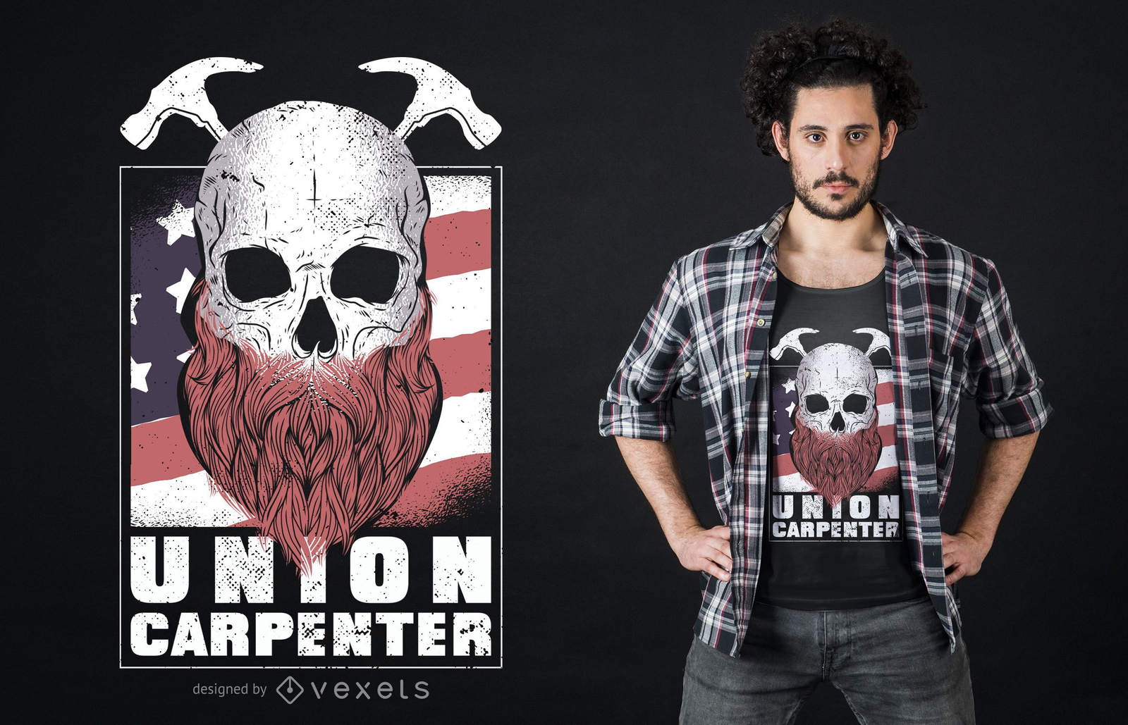
Design de camiseta do Union Carpenter
Escolha uma pasta
Todos os favoritos
Criar novo
Salvar
Design de camiseta do Union Carpenter
Pronto para imprimir
para Merch
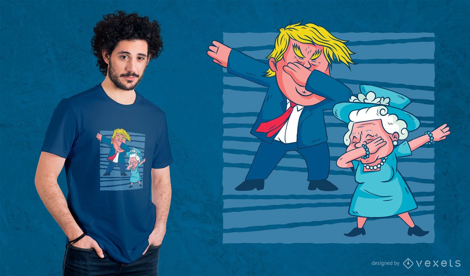
Design de camisetas Trump & Queen Dabbing
Escolha uma pasta
Todos os favoritos
Criar novo
Salvar
Design de camisetas Trump & Queen Dabbing
Premium
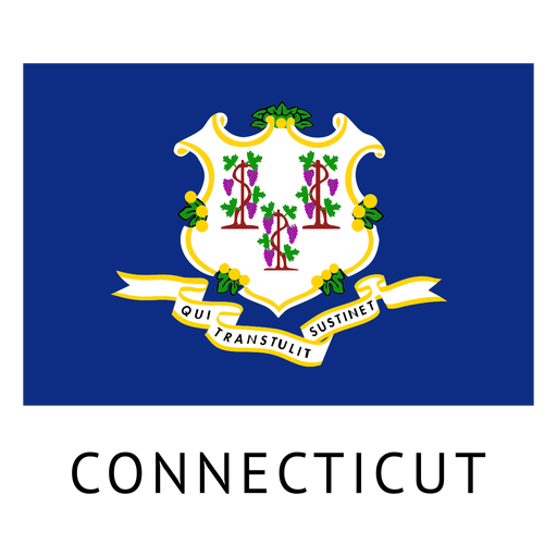
Bandeira do estado de Connecticut Desenho PNG
Escolha uma pasta
Todos os favoritos
Criar novo
Salvar
Bandeira do estado de Connecticut Desenho PNG
Premium
Bandeira do estado de Maine Desenho PNG
Escolha uma pasta
Todos os favoritos
Criar novo
Salvar
Bandeira do estado de Maine Desenho PNG
Silhueta de paisagem urbana de Washington dc skyline Desenho PNG
Escolha uma pasta
Todos os favoritos
Criar novo
Salvar
Silhueta de paisagem urbana de Washington dc skyline Desenho PNG
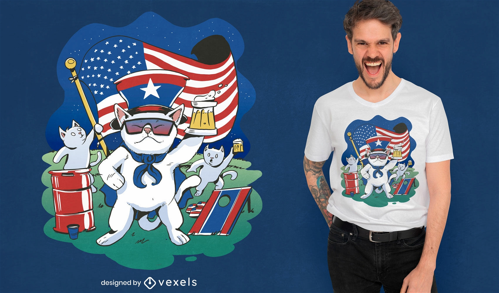
Pronto para imprimir
para Merch
Design de camiseta de gato do Memorial Day dos EUA
Escolha uma pasta
Todos os favoritos
Criar novo
Salvar
Design de camiseta de gato do Memorial Day dos EUA
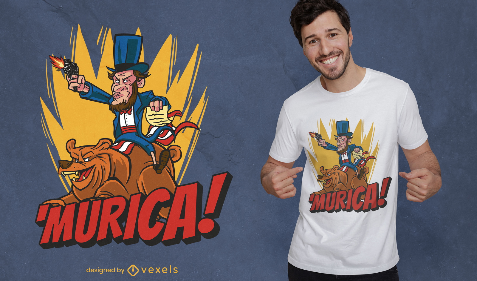
Pronto para imprimir
para Merch
Homem americano com desenho de camiseta de urso
Escolha uma pasta
Todos os favoritos
Criar novo
Salvar
Homem americano com desenho de camiseta de urso
Impulsione seu negócio
Com a plataforma gráfica líder de mercado.
Ver planos
Próxima
do 69
prev page
next page