Biblioteca de design
Novos designs Merch
Camisetas
Vectores
Designs de Merch de Tendência
PNGs & SVGs
Mockups
Modelos de T-Shirt PSD
Explorar Desenhos
Designs KDP
Pôsteres
Canecas
Capas para celular
Sacos de compras
Almofadas
Ferramentas de desenho
Merch Designer
Novo!
Mockup Generator
Gerador de Design de AI
Vetorizador
Quote Generator
T-Shirt Maker (Antigo)
Ajuda
Merch Digest
Blog
Centro de Ajuda
Saiba mais sobre o Merch
Feedback
Soluções Corporativas
Empresa
Acesso à API
Estúdio de Design
Design em Lote
Preços
Carregando...
Inscrever-se
Conecte-se
All
states
Biblioteca de design
Novos designs Merch
Camisetas
Vectores
Designs de Merch de Tendência
PNGs & SVGs
Mockups
Modelos de T-Shirt PSD
Explorar Desenhos
Designs KDP
Pôsteres
Canecas
Capas para celular
Sacos de compras
Almofadas
Ferramentas de desenho
Merch Designer
Novo!
Mockup Generator
Gerador de Design de AI
Vetorizador
Quote Generator
T-Shirt Maker (Antigo)
Ajuda
Merch Digest
Blog
Centro de Ajuda
Saiba mais sobre o Merch
Feedback
Soluções Corporativas
Empresa
Acesso à API
Estúdio de Design
Design em Lote
PLANOS
All
states
2438 Gráficos e Designs de states para Camisetas e Merch print on demand
Baixar designs de camisetas e para merch, como capas de livro, capas de celular, tote bags e mais de states
Relacionado:
estados unidos
,
estados
,
bandeira dos estados unidos
Ordenar por
Mais relevante
Resultados patrocinados da
Ganhe 15% de desconto com o código: VEXELS15
veja mais detalhes
FourthOfJuly-StarsAndStripes-DetailedRealisticSilhouette-CR - 2 Desenho PNG
Escolha uma pasta
Todos os favoritos
Criar novo
Salvar
FourthOfJuly-StarsAndStripes-DetailedRealisticSilhouette-CR - 2 Desenho PNG
para Merch
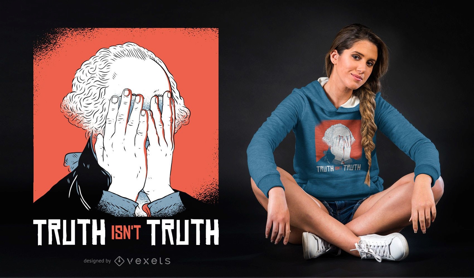
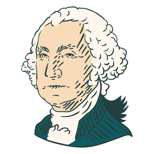
Design de camiseta George Washington facepalm
Escolha uma pasta
Todos os favoritos
Criar novo
Salvar
Design de camiseta George Washington facepalm
para Merch
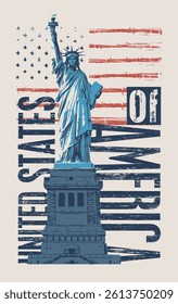
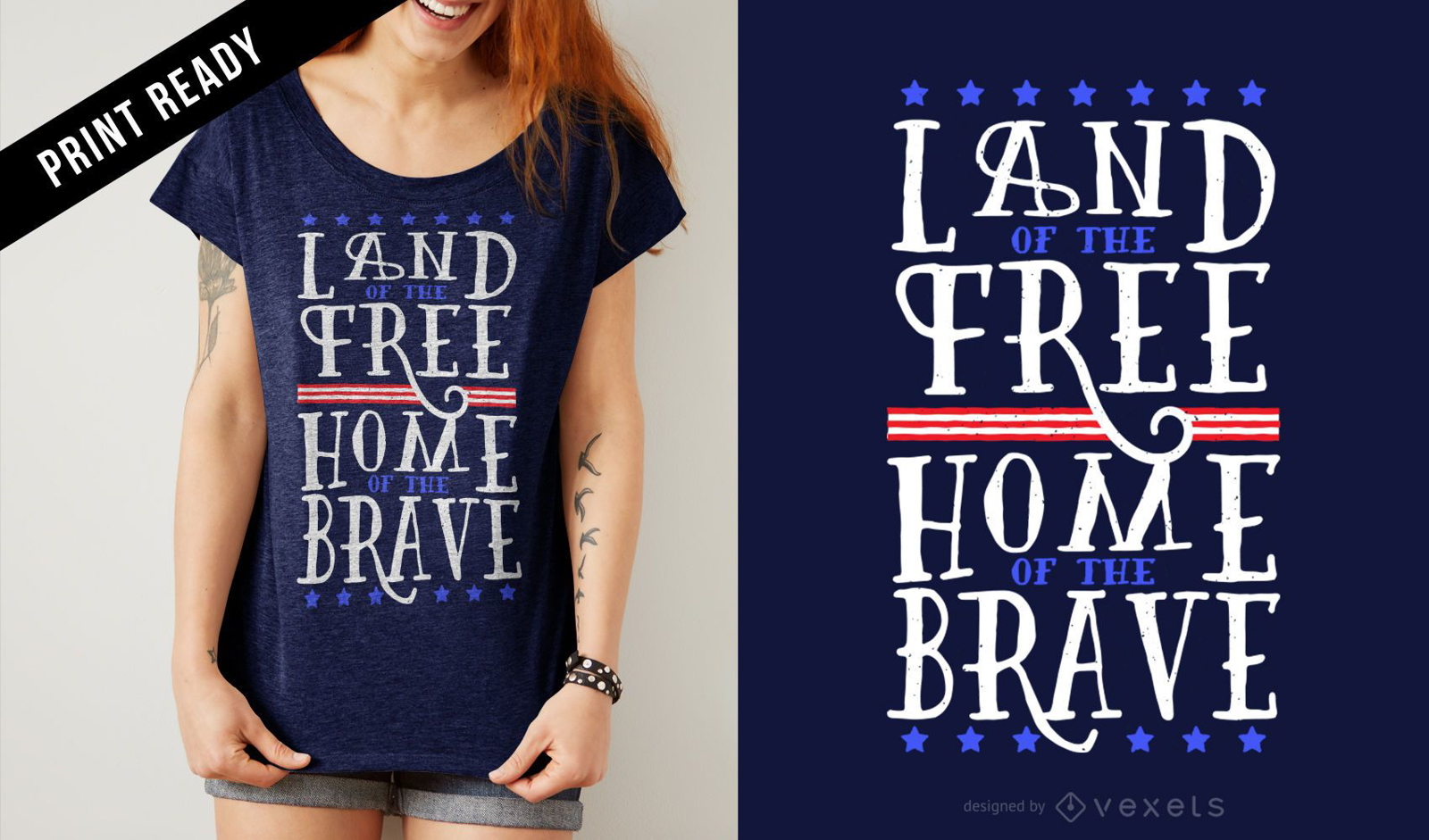
Design de camisetas gratuitas e corajosas dos EUA
Escolha uma pasta
Todos os favoritos
Criar novo
Salvar
Design de camisetas gratuitas e corajosas dos EUA
Premium
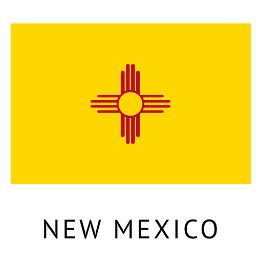
Bandeira do estado do novo méxico Desenho PNG
Escolha uma pasta
Todos os favoritos
Criar novo
Salvar
Bandeira do estado do novo méxico Desenho PNG
Premium
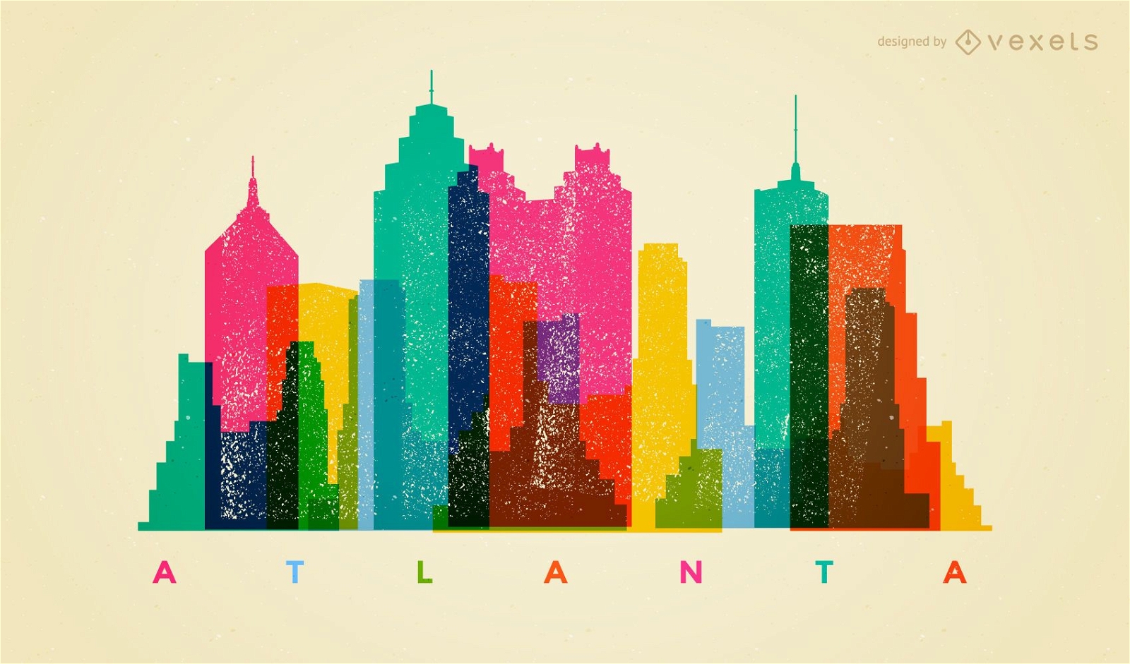
Horizonte colorido de Atlanta
Escolha uma pasta
Todos os favoritos
Criar novo
Salvar
Horizonte colorido de Atlanta
Premium
Distintivo do horizonte de Chicago Desenho PNG
Escolha uma pasta
Todos os favoritos
Criar novo
Salvar
Distintivo do horizonte de Chicago Desenho PNG
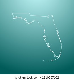
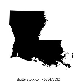
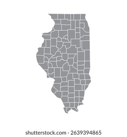
Silhueta de mapa de Maine EUA Desenho PNG
Escolha uma pasta
Todos os favoritos
Criar novo
Salvar
Silhueta de mapa de Maine EUA Desenho PNG
Silhueta de mapa da Califórnia EUA Desenho PNG
Escolha uma pasta
Todos os favoritos
Criar novo
Salvar
Silhueta de mapa da Califórnia EUA Desenho PNG
Pronto para imprimir
para Merch
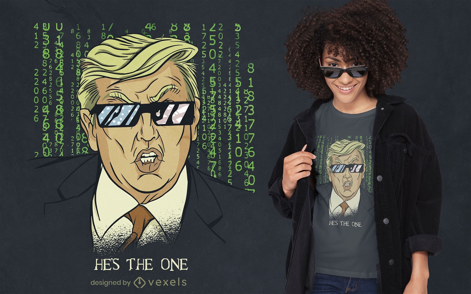
Design de t-shirt americana com paródia Trump
Escolha uma pasta
Todos os favoritos
Criar novo
Salvar
Design de t-shirt americana com paródia Trump
para Merch
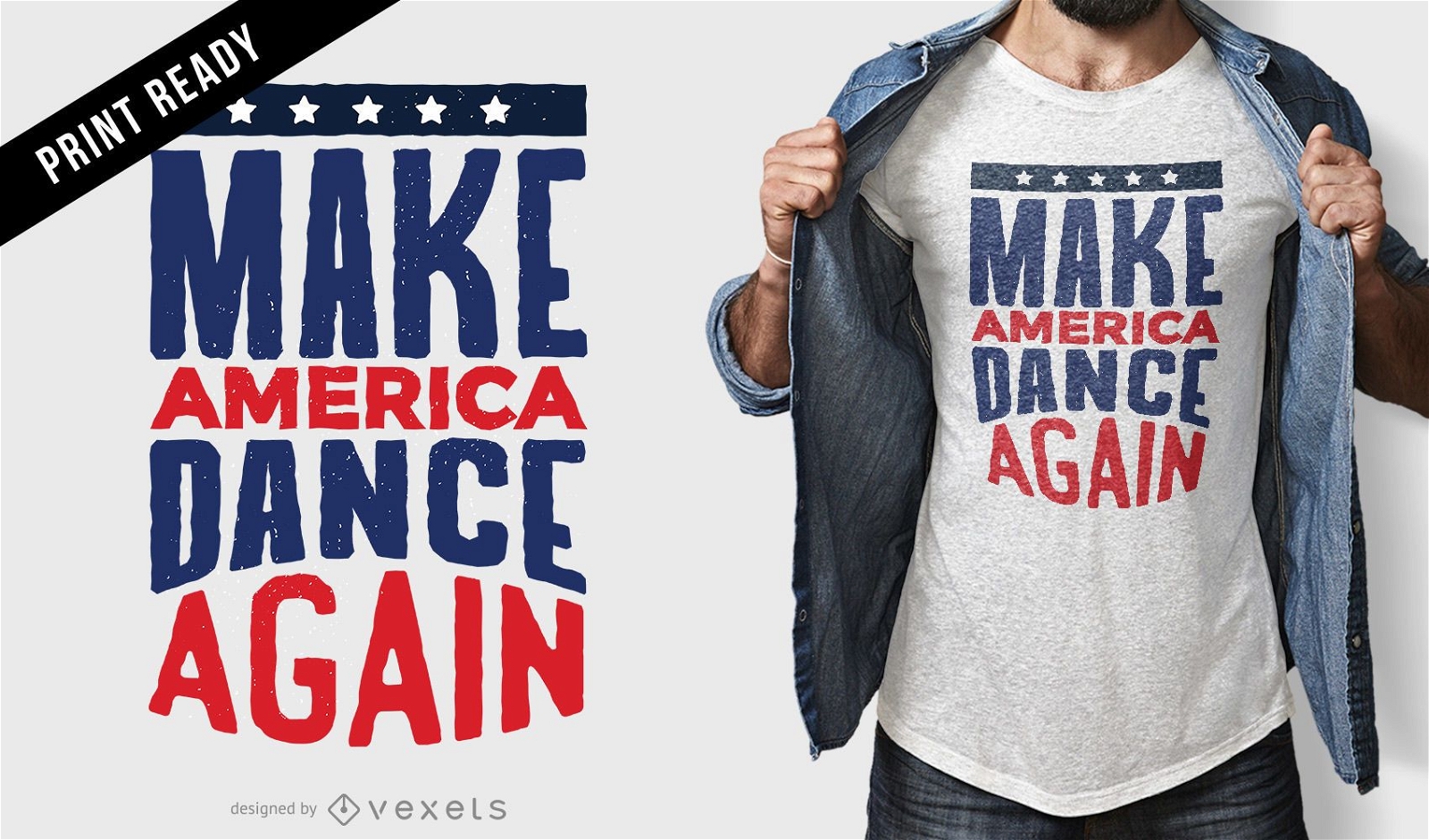
Faça o design de camisetas de dança da América
Escolha uma pasta
Todos os favoritos
Criar novo
Salvar
Faça o design de camisetas de dança da América
Silhueta do mapa do Tennessee EUA Desenho PNG
Escolha uma pasta
Todos os favoritos
Criar novo
Salvar
Silhueta do mapa do Tennessee EUA Desenho PNG
Silhueta de mapa de Wisconsin EUA Desenho PNG
Escolha uma pasta
Todos os favoritos
Criar novo
Salvar
Silhueta de mapa de Wisconsin EUA Desenho PNG
Premium
Elemento de design de balões americanos Desenho PNG
Escolha uma pasta
Todos os favoritos
Criar novo
Salvar
Elemento de design de balões americanos Desenho PNG
para Merch
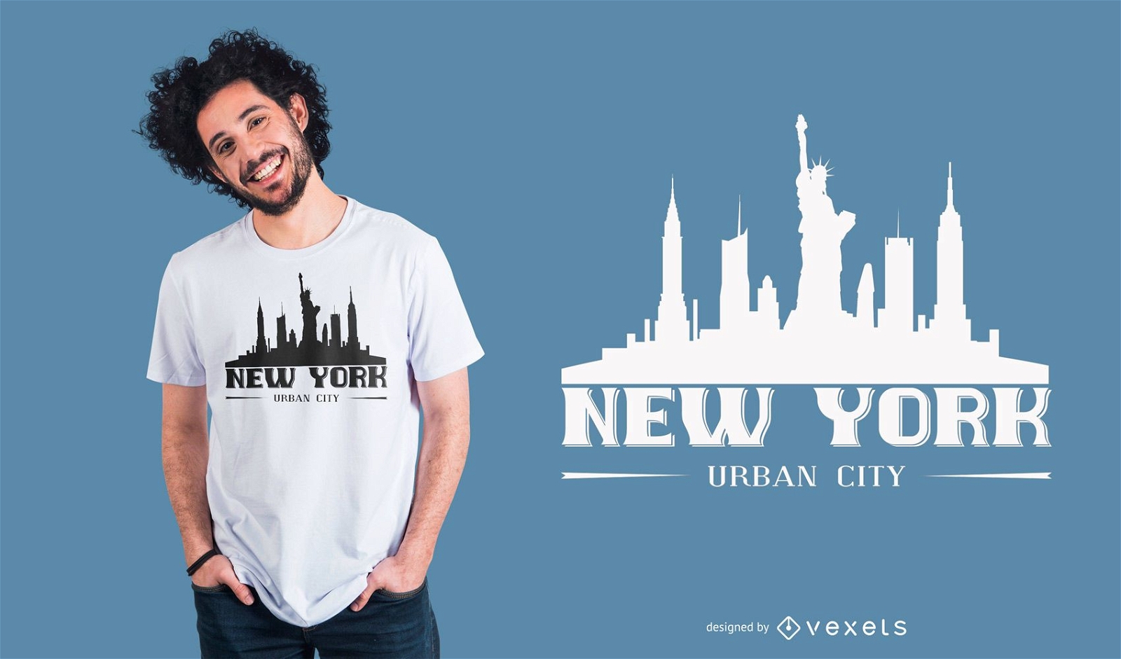
Design de camiseta de silhueta urbana de Nova York
Escolha uma pasta
Todos os favoritos
Criar novo
Salvar
Design de camiseta de silhueta urbana de Nova York
texto editável
Pronto para imprimir
para Merch
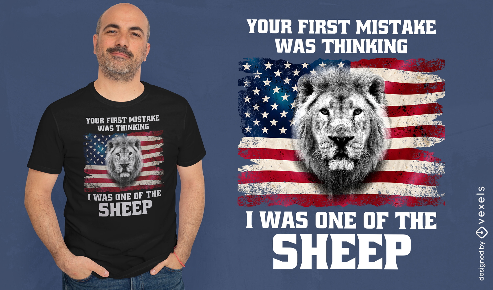
Bandeira americana e design de camiseta de leão
Escolha uma pasta
Todos os favoritos
Criar novo
Salvar
Bandeira americana e design de camiseta de leão
FourthofJuly-AmericaIcons-VintageMetal - 22 Desenho PNG
Escolha uma pasta
Todos os favoritos
Criar novo
Salvar
FourthofJuly-AmericaIcons-VintageMetal - 22 Desenho PNG
Pronto para imprimir
para Merch
Desenho de t-shirt de desenho animado Joe biden
Escolha uma pasta
Todos os favoritos
Criar novo
Salvar
Desenho de t-shirt de desenho animado Joe biden
para Merch
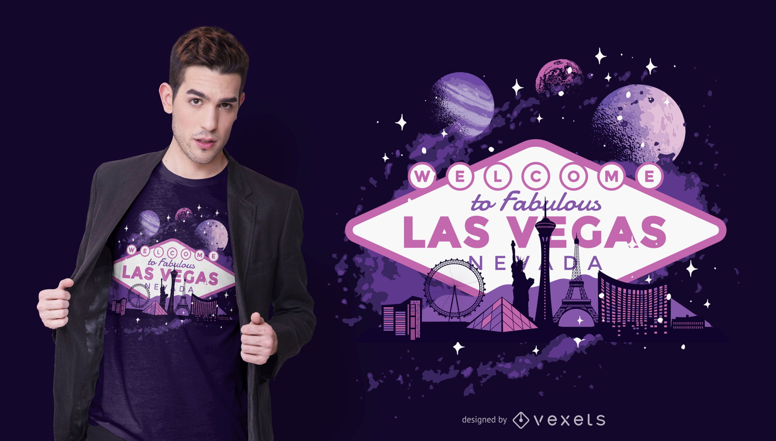
Design de camisetas Las Vegas
Escolha uma pasta
Todos os favoritos
Criar novo
Salvar
Design de camisetas Las Vegas
Premium
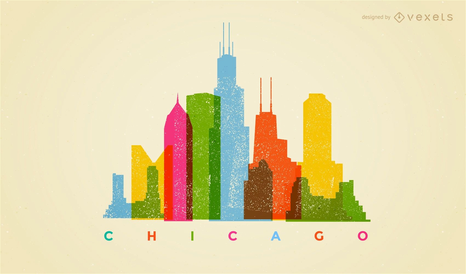
Horizonte colorido de Chicago
Escolha uma pasta
Todos os favoritos
Criar novo
Salvar
Horizonte colorido de Chicago
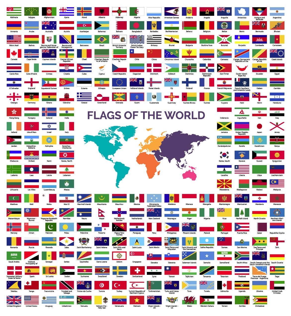
Coleção de bandeiras do mundo
Escolha uma pasta
Todos os favoritos
Criar novo
Salvar
Coleção de bandeiras do mundo
Silhueta do mapa de Maryland EUA Desenho PNG
Escolha uma pasta
Todos os favoritos
Criar novo
Salvar
Silhueta do mapa de Maryland EUA Desenho PNG
Silhueta do mapa do Missouri eua Desenho PNG
Escolha uma pasta
Todos os favoritos
Criar novo
Salvar
Silhueta do mapa do Missouri eua Desenho PNG
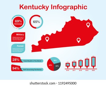
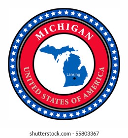
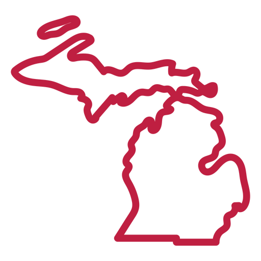
Mapa de acidente vascular cerebral do estado de Michigan Desenho PNG
Escolha uma pasta
Todos os favoritos
Criar novo
Salvar
Mapa de acidente vascular cerebral do estado de Michigan Desenho PNG
Pronto para imprimir
para Merch
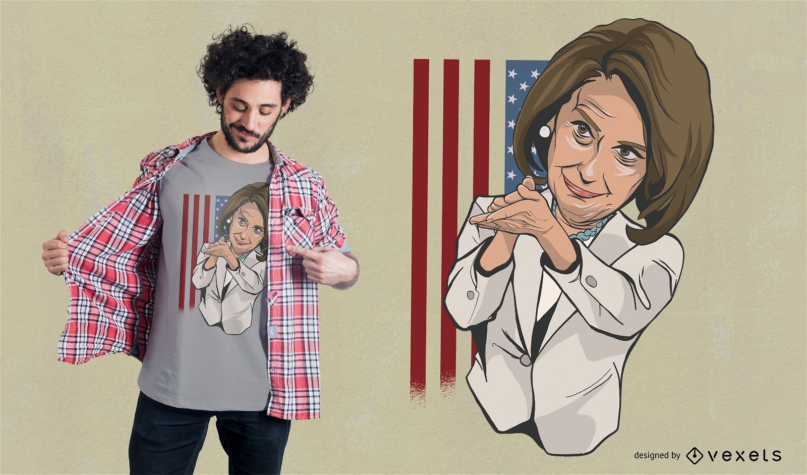
Design de camiseta de Nancy Pelosi aplaudindo
Escolha uma pasta
Todos os favoritos
Criar novo
Salvar
Design de camiseta de Nancy Pelosi aplaudindo
Premium
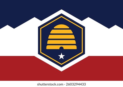
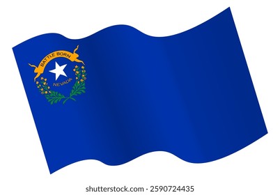
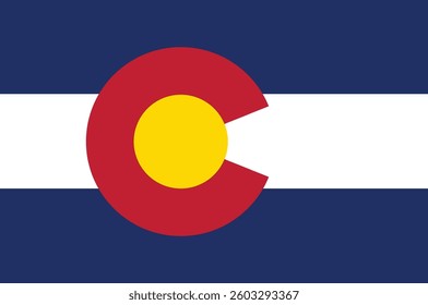
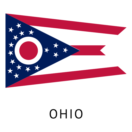
Bandeira do estado de Ohio Desenho PNG
Escolha uma pasta
Todos os favoritos
Criar novo
Salvar
Bandeira do estado de Ohio Desenho PNG
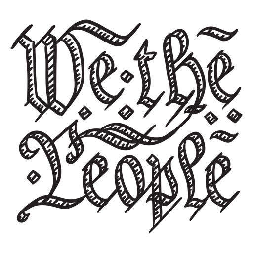
Nós, o distintivo de pessoas Desenho PNG
Escolha uma pasta
Todos os favoritos
Criar novo
Salvar
Nós, o distintivo de pessoas Desenho PNG
Mapa de acidente vascular cerebral do estado de Utah Desenho PNG
Escolha uma pasta
Todos os favoritos
Criar novo
Salvar
Mapa de acidente vascular cerebral do estado de Utah Desenho PNG
Premium
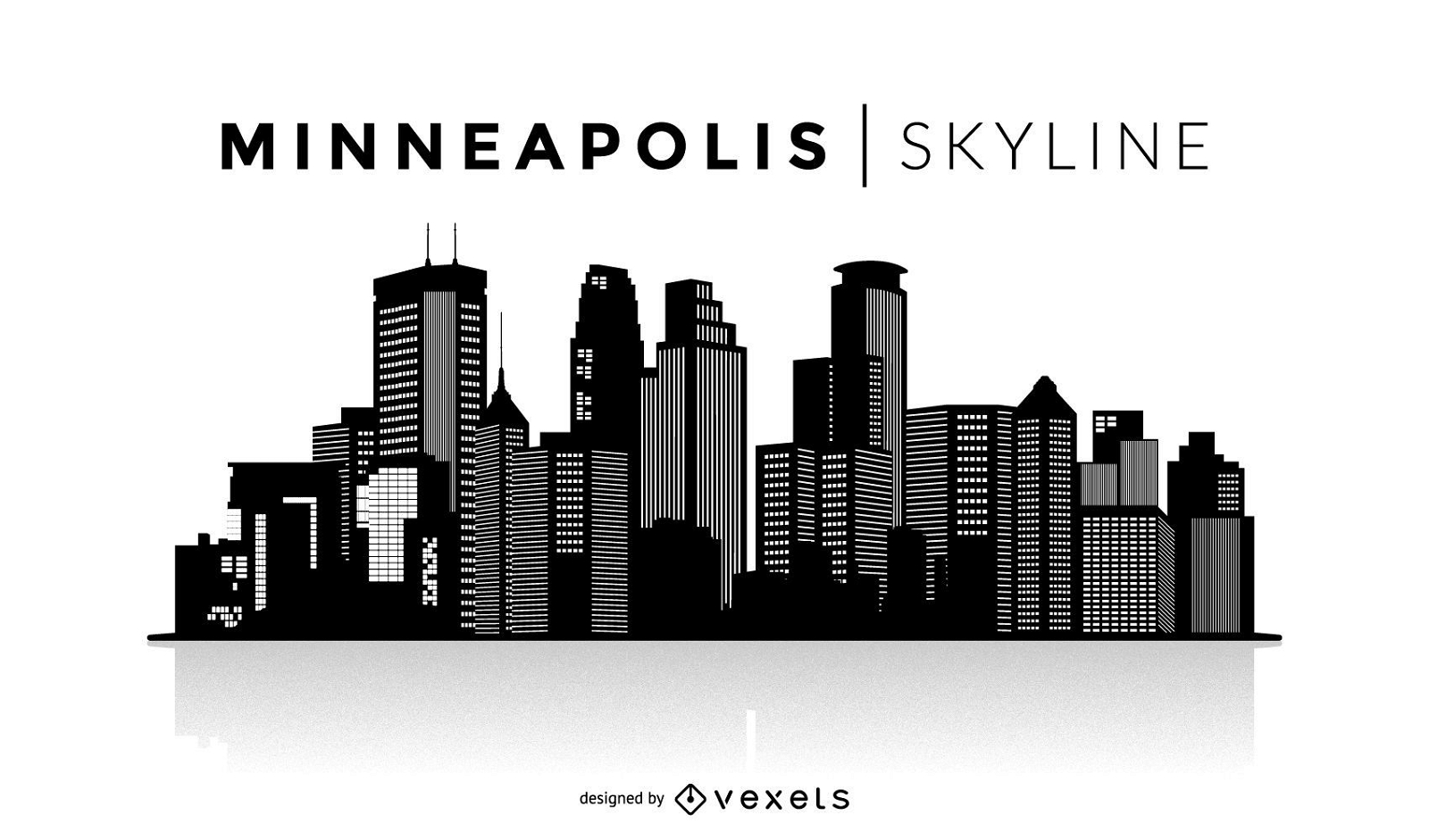
Silhueta do horizonte de Minneapolis
Escolha uma pasta
Todos os favoritos
Criar novo
Salvar
Silhueta do horizonte de Minneapolis
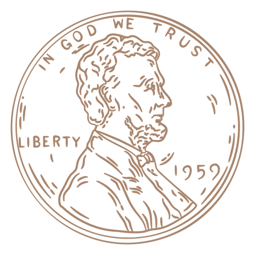
Cabeça de curso de centavo Desenho PNG
Escolha uma pasta
Todos os favoritos
Criar novo
Salvar
Cabeça de curso de centavo Desenho PNG
Pronto para imprimir
para Merch
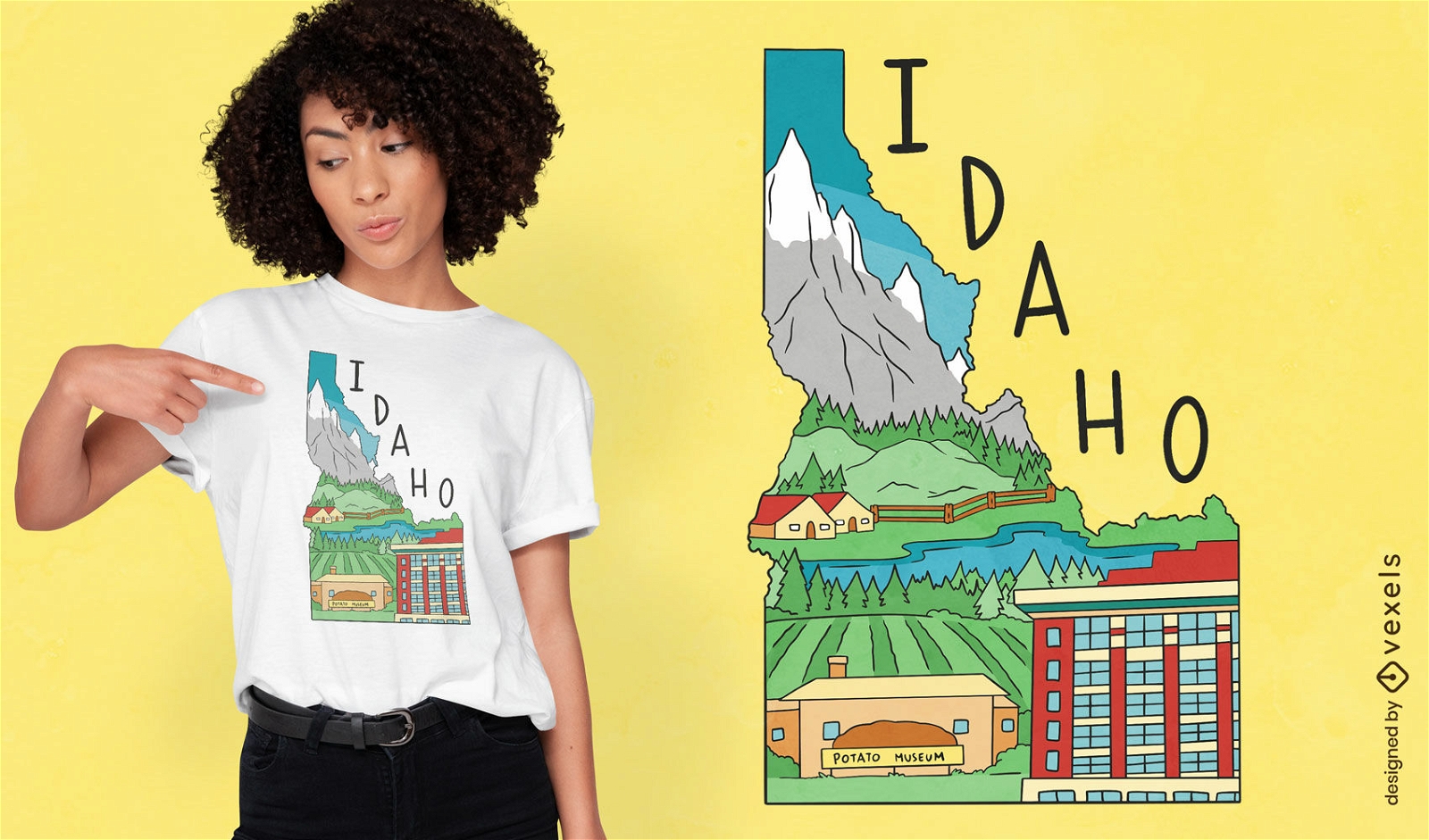
Design de camiseta de paisagem de mapa do estado de Idaho
Escolha uma pasta
Todos os favoritos
Criar novo
Salvar
Design de camiseta de paisagem de mapa do estado de Idaho
Silhueta do mapa de Delaware eua Desenho PNG
Escolha uma pasta
Todos os favoritos
Criar novo
Salvar
Silhueta do mapa de Delaware eua Desenho PNG
Silhueta do mapa dos EUA da Pensilvânia Desenho PNG
Escolha uma pasta
Todos os favoritos
Criar novo
Salvar
Silhueta do mapa dos EUA da Pensilvânia Desenho PNG
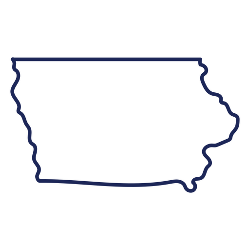
Curso de mapa de Iowa EUA Desenho PNG
Escolha uma pasta
Todos os favoritos
Criar novo
Salvar
Curso de mapa de Iowa EUA Desenho PNG
Fogos de artifício eua Desenho PNG
Escolha uma pasta
Todos os favoritos
Criar novo
Salvar
Fogos de artifício eua Desenho PNG
para Merch
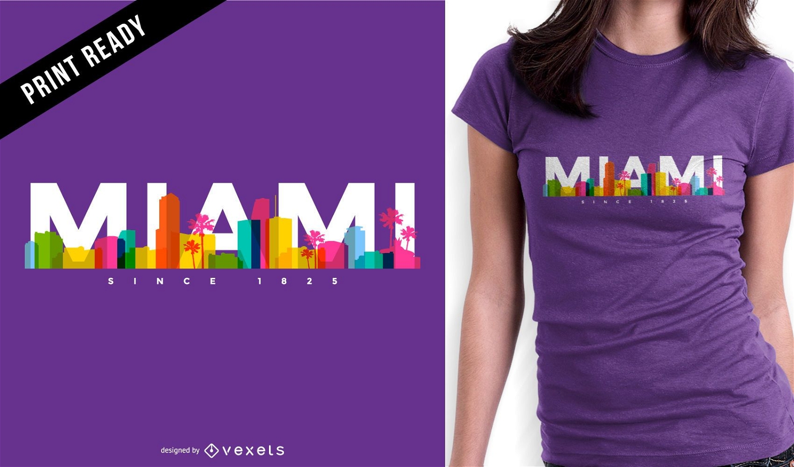
Design de camiseta do horizonte de Miami
Escolha uma pasta
Todos os favoritos
Criar novo
Salvar
Design de camiseta do horizonte de Miami
Premium
Rhode island state plan mapa Desenho PNG
Escolha uma pasta
Todos os favoritos
Criar novo
Salvar
Rhode island state plan mapa Desenho PNG
Premium
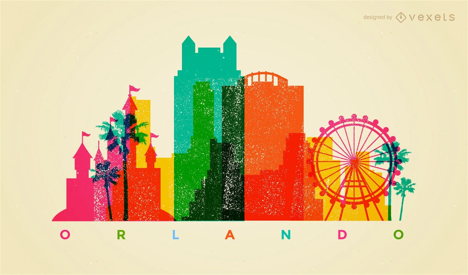
Horizonte colorido de Orlando
Escolha uma pasta
Todos os favoritos
Criar novo
Salvar
Horizonte colorido de Orlando
texto editável
Pronto para imprimir
para Merch
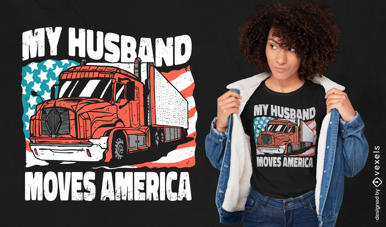
Design de camiseta de caminhão dos EUA
Escolha uma pasta
Todos os favoritos
Criar novo
Salvar
Design de camiseta de caminhão dos EUA
Pronto para imprimir
para Merch
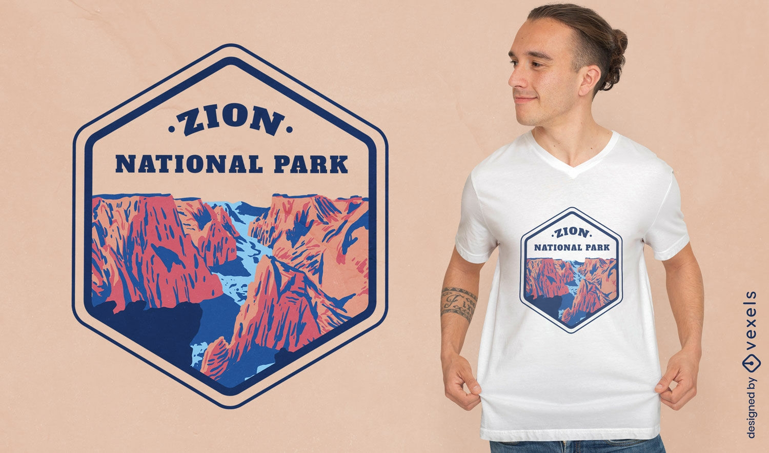
Design de camiseta de paisagem do parque nacional de Zion
Escolha uma pasta
Todos os favoritos
Criar novo
Salvar
Design de camiseta de paisagem do parque nacional de Zion
FourthOfJuly-AmericanHistory-VintageEtchPrint-VinylColor - 1 Desenho PNG
Escolha uma pasta
Todos os favoritos
Criar novo
Salvar
FourthOfJuly-AmericanHistory-VintageEtchPrint-VinylColor - 1 Desenho PNG
Pronto para imprimir
para Merch
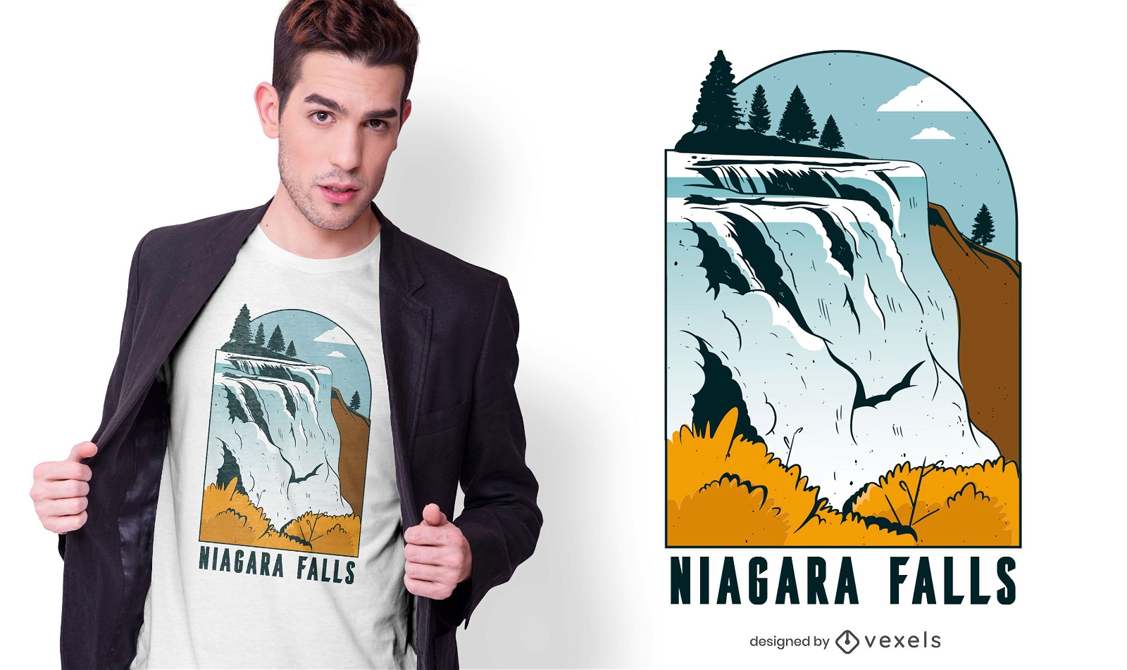
Design de camisetas em Niagara Falls
Escolha uma pasta
Todos os favoritos
Criar novo
Salvar
Design de camisetas em Niagara Falls
Pronto para imprimir
para Merch
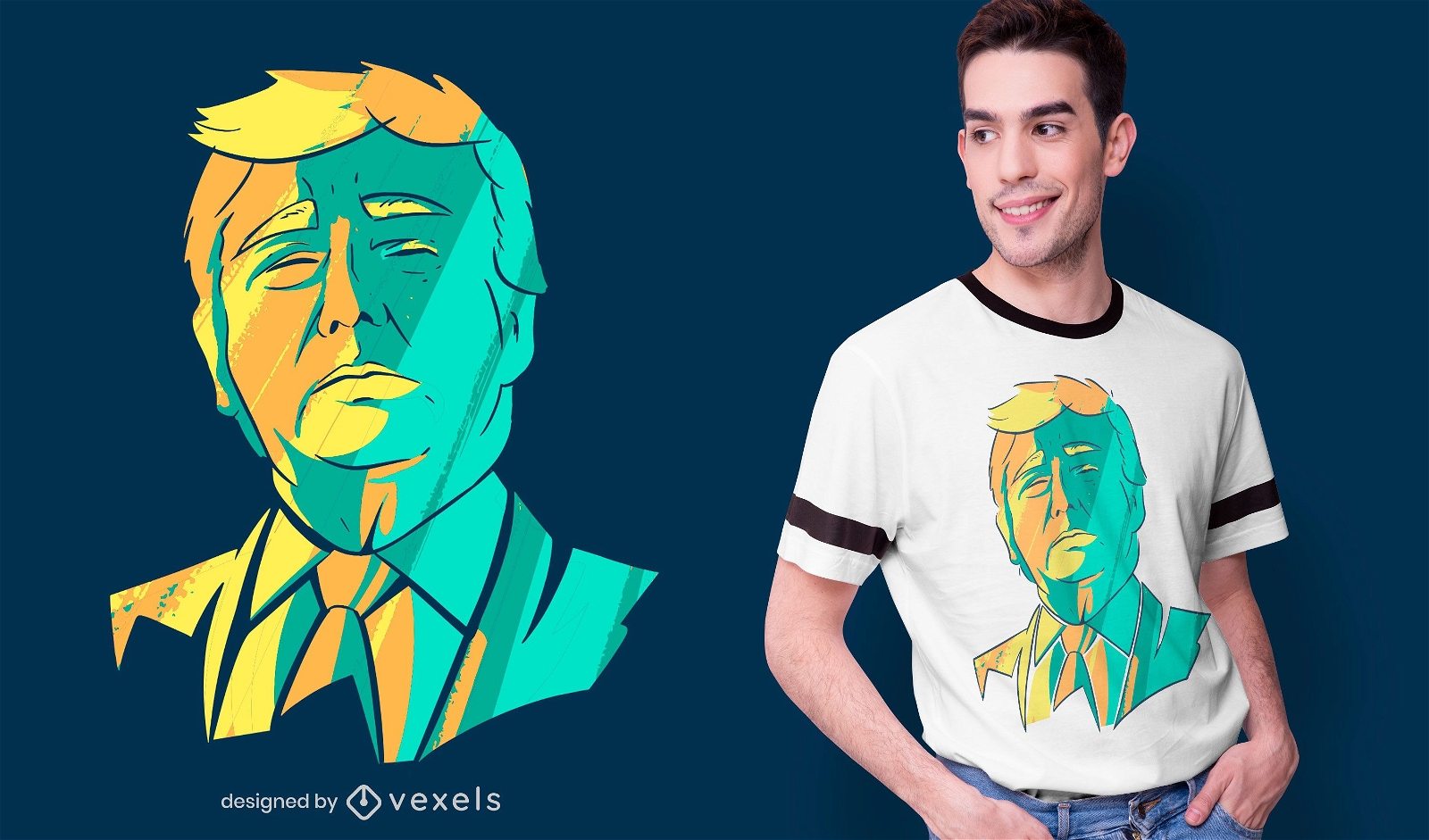
Design de camiseta da cabeça de Donald Trump
Escolha uma pasta
Todos os favoritos
Criar novo
Salvar
Design de camiseta da cabeça de Donald Trump
Premium
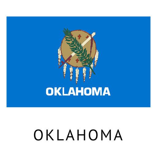
Bandeira do estado de Oklahoma Desenho PNG
Escolha uma pasta
Todos os favoritos
Criar novo
Salvar
Bandeira do estado de Oklahoma Desenho PNG
Premium
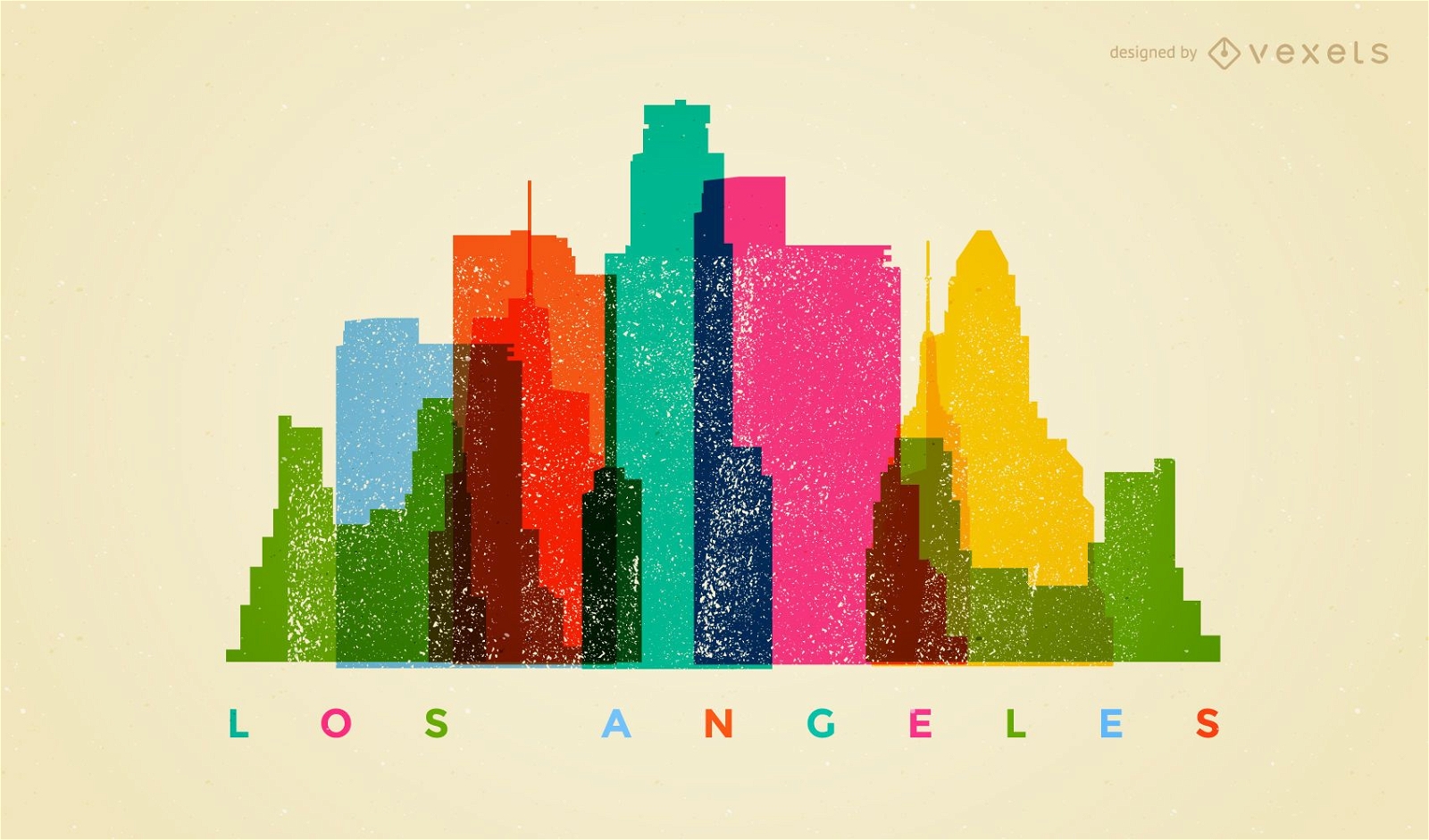
Horizonte colorido de Los Angeles
Escolha uma pasta
Todos os favoritos
Criar novo
Salvar
Horizonte colorido de Los Angeles
Premium
Silhueta de horizonte de San francisco Desenho PNG
Escolha uma pasta
Todos os favoritos
Criar novo
Salvar
Silhueta de horizonte de San francisco Desenho PNG
Silhueta do mapa de Nevada EUA Desenho PNG
Escolha uma pasta
Todos os favoritos
Criar novo
Salvar
Silhueta do mapa de Nevada EUA Desenho PNG
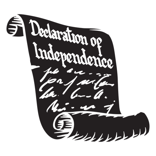
Declaração de independência cortada Desenho PNG
Escolha uma pasta
Todos os favoritos
Criar novo
Salvar
Declaração de independência cortada Desenho PNG
para Merch
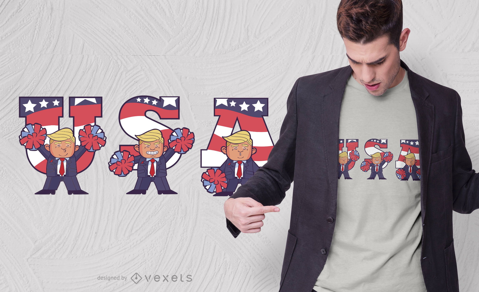
Design de camisetas USA Trump Cartoon
Escolha uma pasta
Todos os favoritos
Criar novo
Salvar
Design de camisetas USA Trump Cartoon
para Merch
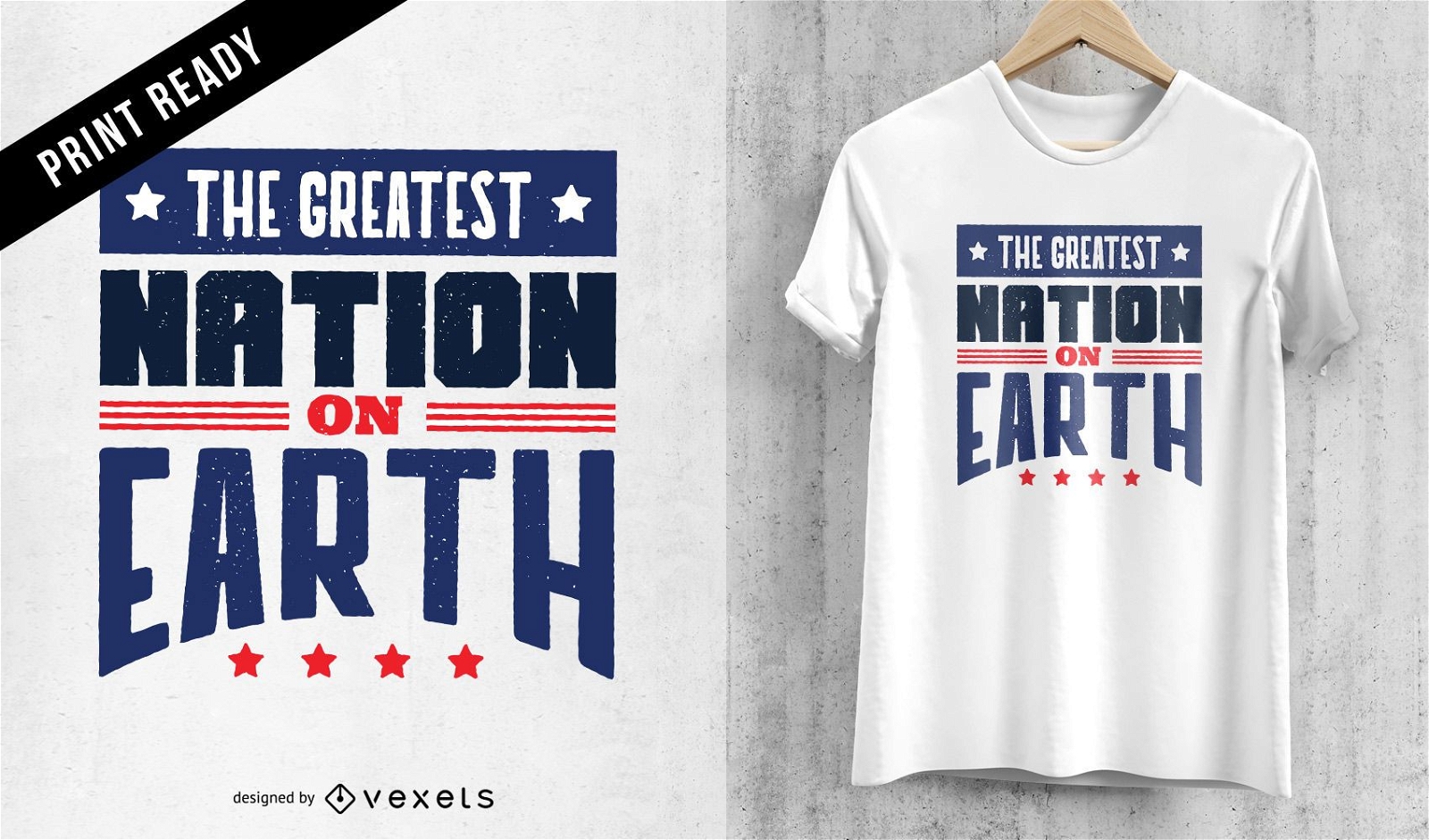
Design de camisetas da melhor nação
Escolha uma pasta
Todos os favoritos
Criar novo
Salvar
Design de camisetas da melhor nação
Premium
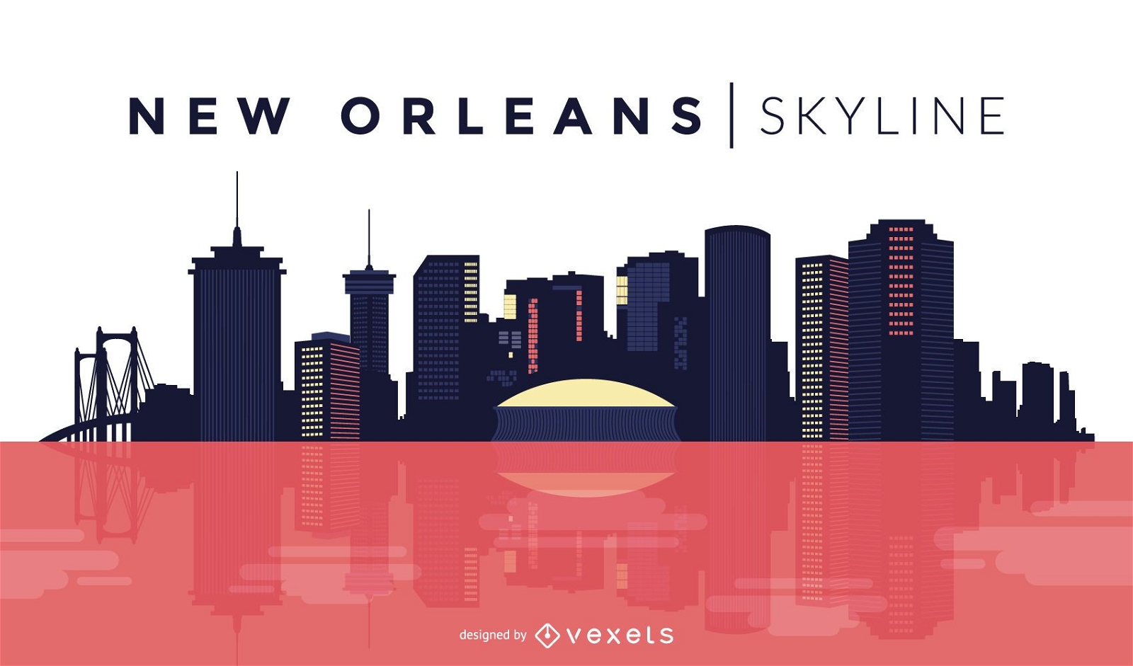
Projeto do horizonte de Nova Orleans
Escolha uma pasta
Todos os favoritos
Criar novo
Salvar
Projeto do horizonte de Nova Orleans
Impulsione seu negócio
Com a plataforma gráfica líder de mercado.
Ver planos
Próxima
do 49
prev page
next page