Biblioteca de design
Novos designs Merch
Camisetas
Vectores
Designs de Merch de Tendência
PNGs & SVGs
Mockups
Modelos de T-Shirt PSD
Explorar Desenhos
Designs KDP
Pôsteres
Canecas
Capas para celular
Sacos de compras
Almofadas
Ferramentas de desenho
Merch Designer
Novo!
Mockup Generator
Gerador de Design de AI
Vetorizador
Quote Generator
T-Shirt Maker (Antigo)
Ajuda
Merch Digest
Blog
Centro de Ajuda
Saiba mais sobre o Merch
Feedback
Soluções Corporativas
Empresa
Acesso à API
Estúdio de Design
Design em Lote
Preços
Carregando...
Inscrever-se
Conecte-se
All
states
Biblioteca de design
Novos designs Merch
Camisetas
Vectores
Designs de Merch de Tendência
PNGs & SVGs
Mockups
Modelos de T-Shirt PSD
Explorar Desenhos
Designs KDP
Pôsteres
Canecas
Capas para celular
Sacos de compras
Almofadas
Ferramentas de desenho
Merch Designer
Novo!
Mockup Generator
Gerador de Design de AI
Vetorizador
Quote Generator
T-Shirt Maker (Antigo)
Ajuda
Merch Digest
Blog
Centro de Ajuda
Saiba mais sobre o Merch
Feedback
Soluções Corporativas
Empresa
Acesso à API
Estúdio de Design
Design em Lote
PLANOS
All
states
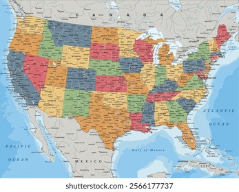
2438 Gráficos e Designs de states para Camisetas e Merch print on demand
Baixar designs de camisetas e para merch, como capas de livro, capas de celular, tote bags e mais de states
Relacionado:
estados unidos
,
estados
,
bandeira dos estados unidos
Ordenar por
Mais relevante
Resultados patrocinados da
Ganhe 15% de desconto com o código: VEXELS15
veja mais detalhes
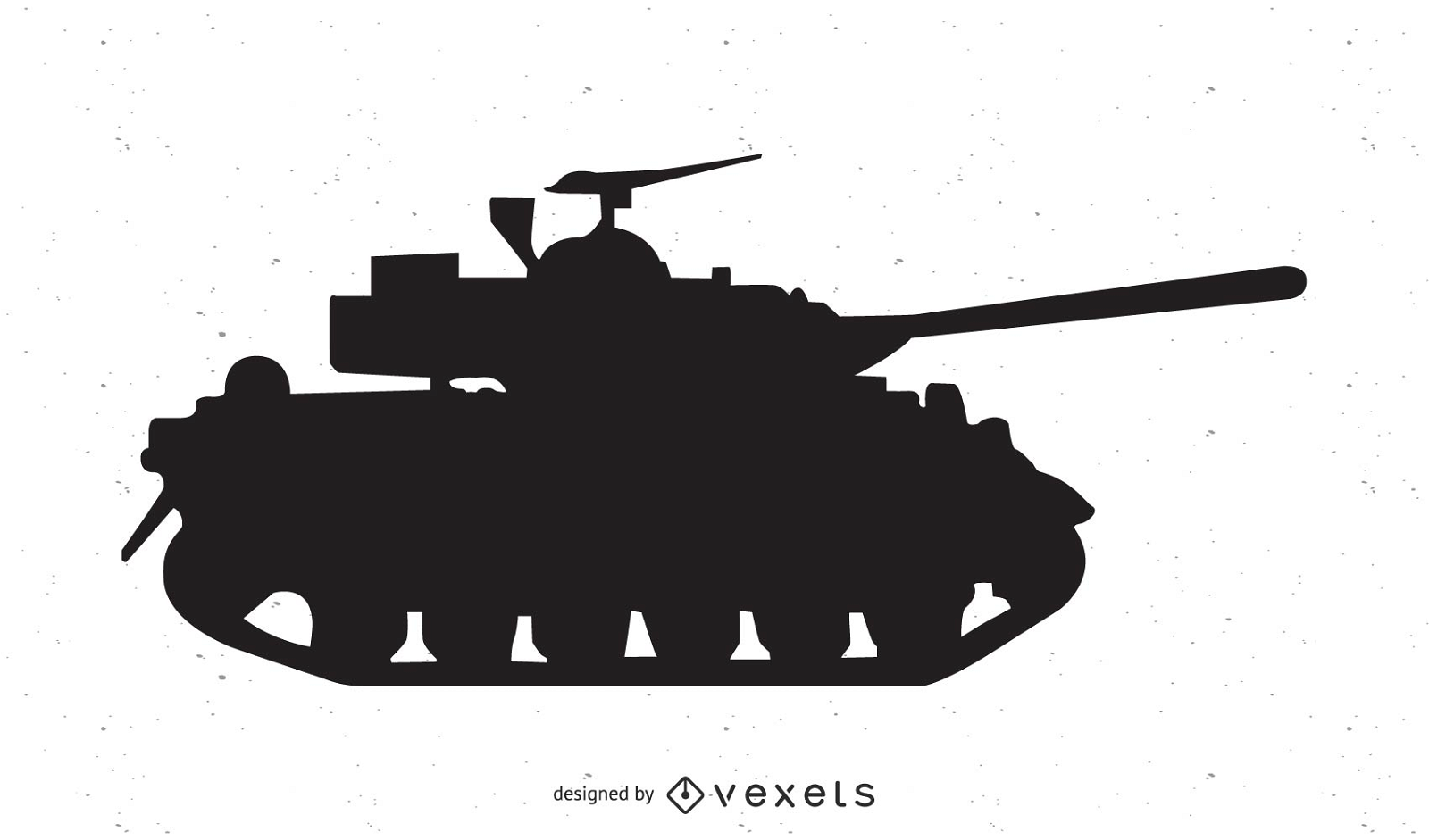
Vetor tanque Abrams
Escolha uma pasta
Todos os favoritos
Criar novo
Salvar
Vetor tanque Abrams
FourthofJuly-AmericaIcons-VintageMetal - 15 Desenho PNG
Escolha uma pasta
Todos os favoritos
Criar novo
Salvar
FourthofJuly-AmericaIcons-VintageMetal - 15 Desenho PNG
Premium
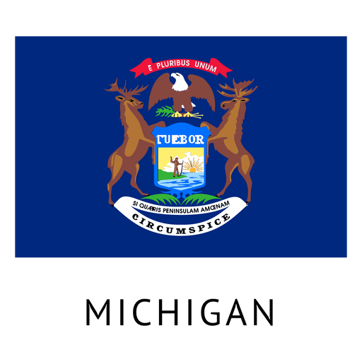
Bandeira do estado de Michigan Desenho PNG
Escolha uma pasta
Todos os favoritos
Criar novo
Salvar
Bandeira do estado de Michigan Desenho PNG
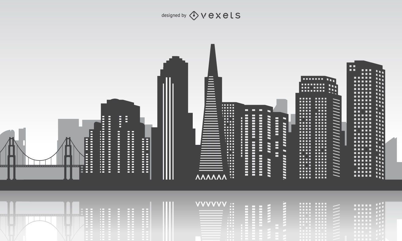
Horizonte de São Francisco com reflexo
Escolha uma pasta
Todos os favoritos
Criar novo
Salvar
Horizonte de São Francisco com reflexo
Silhueta do mapa de New Hampshire EUA Desenho PNG
Escolha uma pasta
Todos os favoritos
Criar novo
Salvar
Silhueta do mapa de New Hampshire EUA Desenho PNG
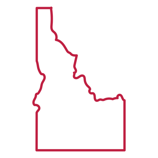
Curso de mapa dos EUA de Idaho Desenho PNG
Escolha uma pasta
Todos os favoritos
Criar novo
Salvar
Curso de mapa dos EUA de Idaho Desenho PNG
Pronto para imprimir
para Merch
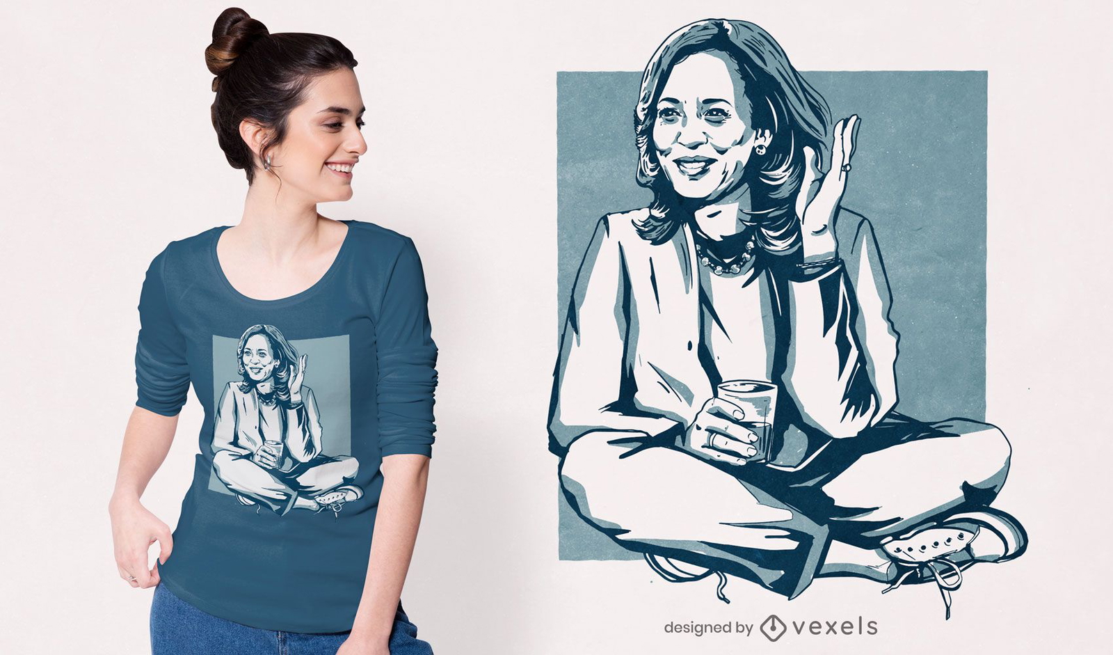
Design de camiseta com ilustração Kamala Harris
Escolha uma pasta
Todos os favoritos
Criar novo
Salvar
Design de camiseta com ilustração Kamala Harris
Ponte de são francisco
Escolha uma pasta
Todos os favoritos
Criar novo
Salvar
Ponte de são francisco
Premium
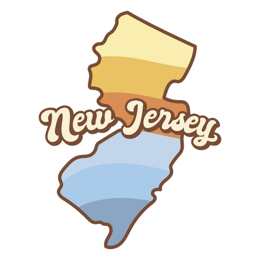
Mapa de Nova Jersey com as palavras Nova Jersey Desenho PNG
Escolha uma pasta
Todos os favoritos
Criar novo
Salvar
Mapa de Nova Jersey com as palavras Nova Jersey Desenho PNG
Letras retrô da Virgínia Desenho PNG
Escolha uma pasta
Todos os favoritos
Criar novo
Salvar
Letras retrô da Virgínia Desenho PNG
Pronto para imprimir
para Merch
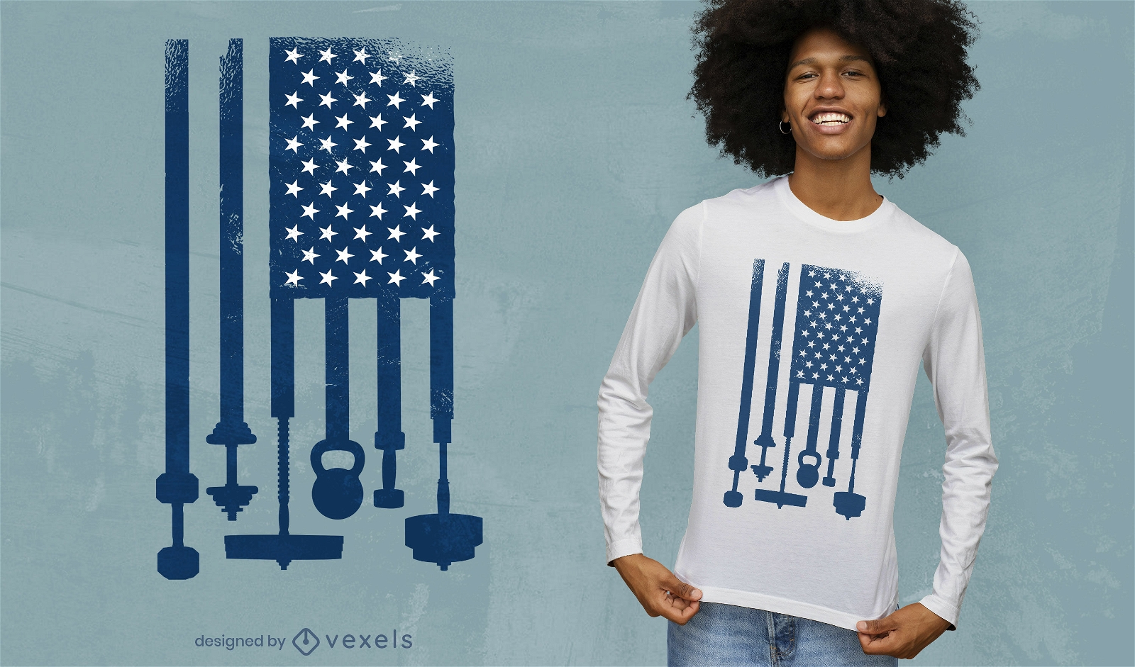
Projeto da t-shirt da bandeira dos EUA para halterofilismo
Escolha uma pasta
Todos os favoritos
Criar novo
Salvar
Projeto da t-shirt da bandeira dos EUA para halterofilismo
Silhueta de mapa do Arizona EUA Desenho PNG
Escolha uma pasta
Todos os favoritos
Criar novo
Salvar
Silhueta de mapa do Arizona EUA Desenho PNG
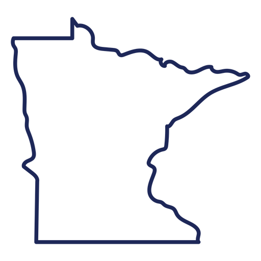
Mapa de acidente vascular cerebral do estado de Minnesota Desenho PNG
Escolha uma pasta
Todos os favoritos
Criar novo
Salvar
Mapa de acidente vascular cerebral do estado de Minnesota Desenho PNG
FourthOfJuly-AmericanHistory-VintageEtchPrint-VinylStroke - 0 Desenho PNG
Escolha uma pasta
Todos os favoritos
Criar novo
Salvar
FourthOfJuly-AmericanHistory-VintageEtchPrint-VinylStroke - 0 Desenho PNG
Pronto para imprimir
para Merch
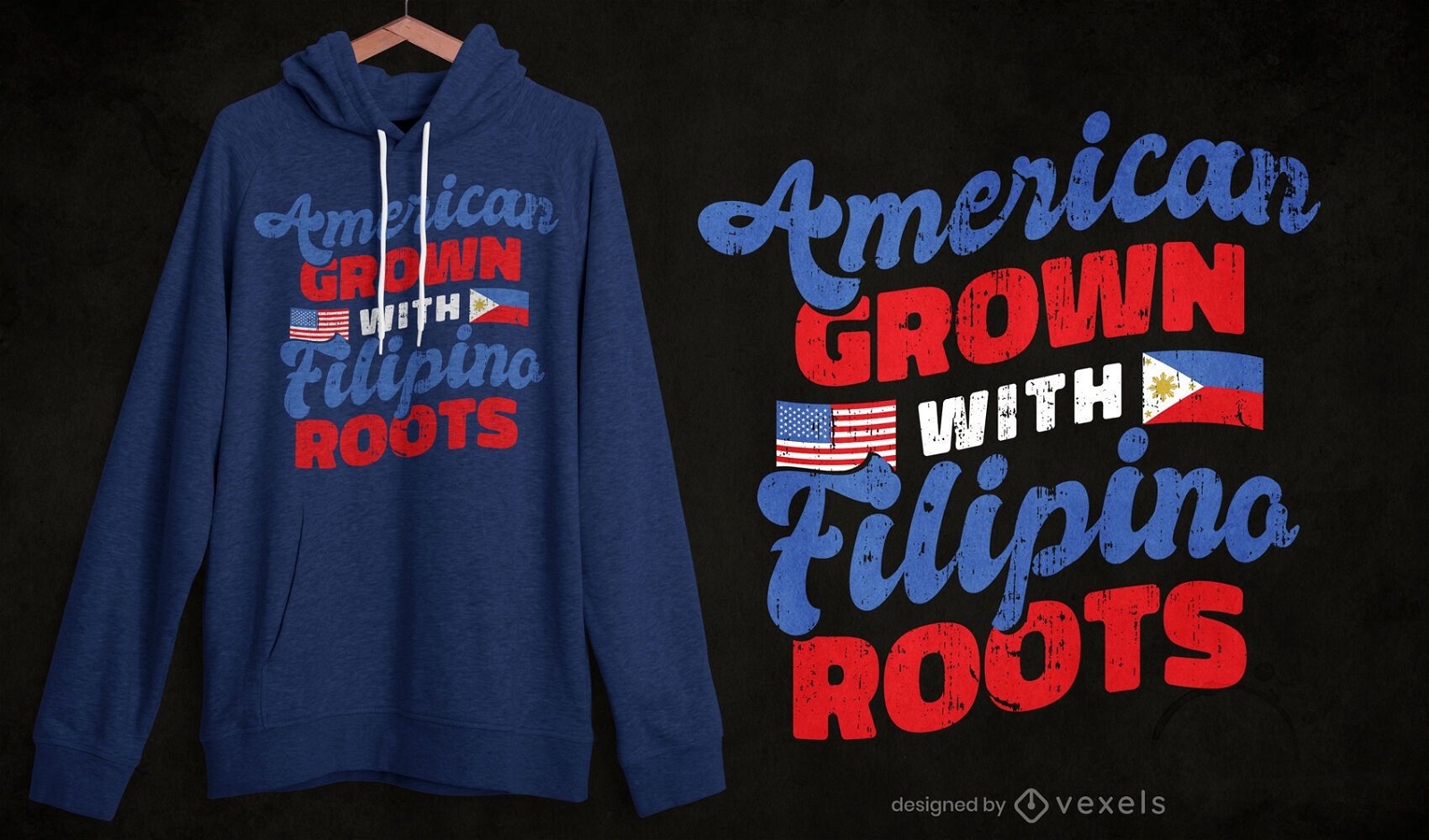
Design de t-shirt filipino americano
Escolha uma pasta
Todos os favoritos
Criar novo
Salvar
Design de t-shirt filipino americano
Pronto para imprimir
para Merch
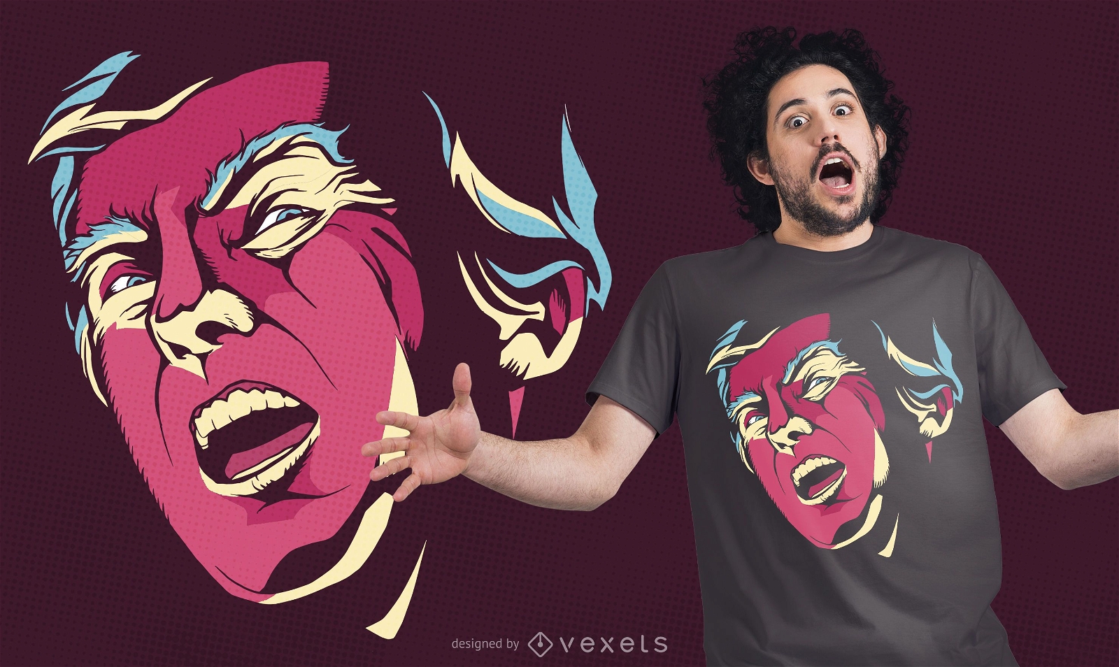
Design de t-shirt assustador Trump
Escolha uma pasta
Todos os favoritos
Criar novo
Salvar
Design de t-shirt assustador Trump
texto editável
Pronto para imprimir
para Merch
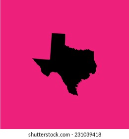
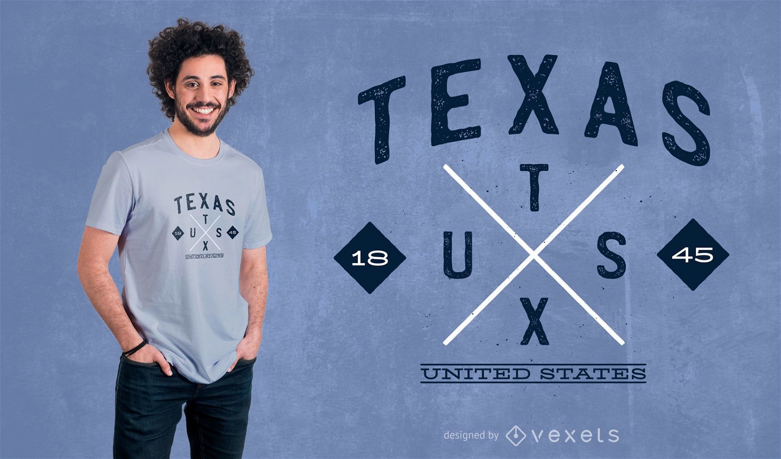
Design de camisetas Texas Hipster
Escolha uma pasta
Todos os favoritos
Criar novo
Salvar
Design de camisetas Texas Hipster
Pronto para imprimir
para Merch
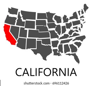
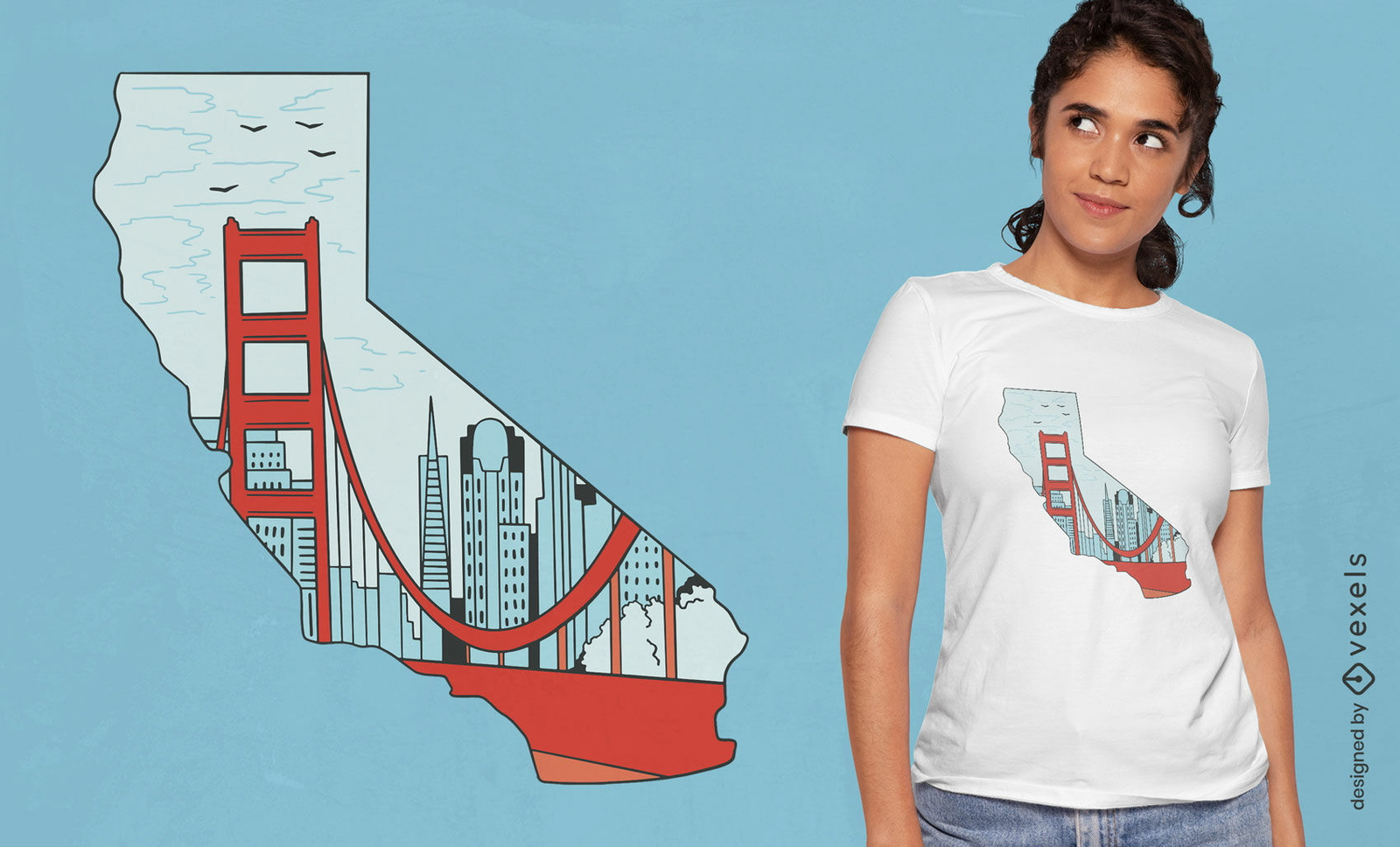
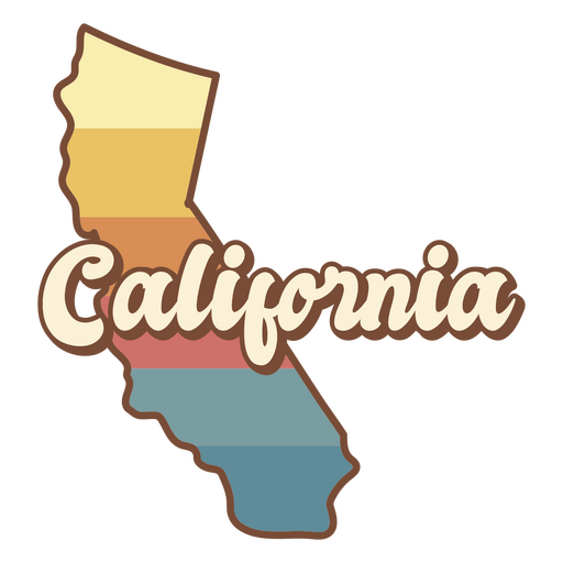
Design de camiseta do mapa do estado da Califórnia
Escolha uma pasta
Todos os favoritos
Criar novo
Salvar
Design de camiseta do mapa do estado da Califórnia
Traço de mapa do Colorado eua Desenho PNG
Escolha uma pasta
Todos os favoritos
Criar novo
Salvar
Traço de mapa do Colorado eua Desenho PNG
FourthOfJuly-StarsAndStripes-DetailedRealisticSilhouette-CR - 9 Desenho PNG
Escolha uma pasta
Todos os favoritos
Criar novo
Salvar
FourthOfJuly-StarsAndStripes-DetailedRealisticSilhouette-CR - 9 Desenho PNG
Premium
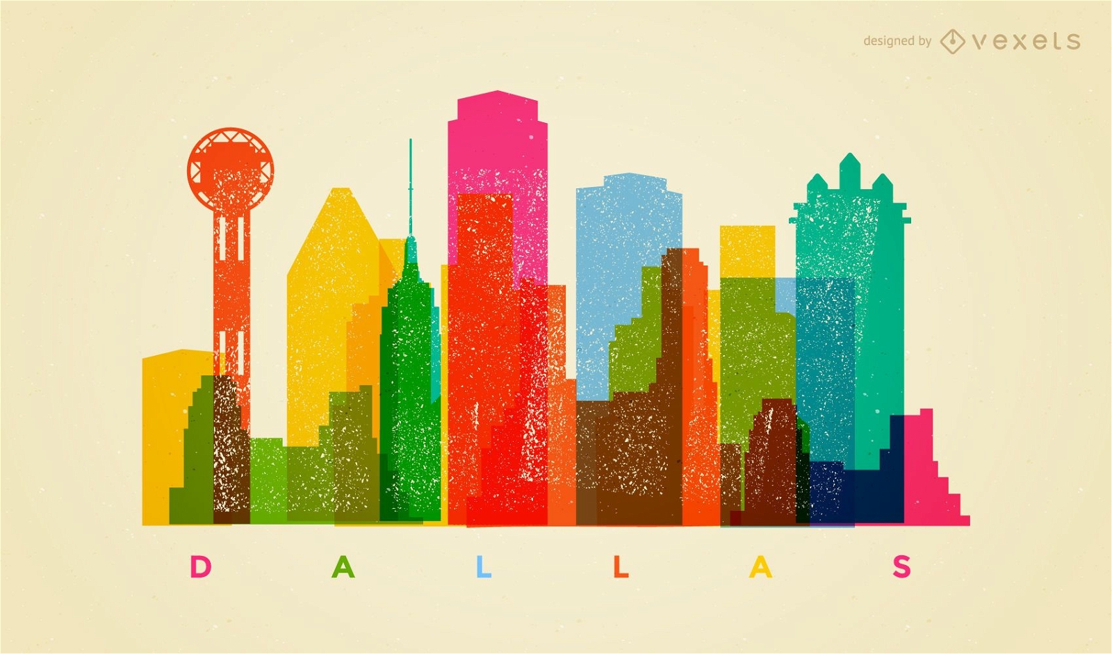
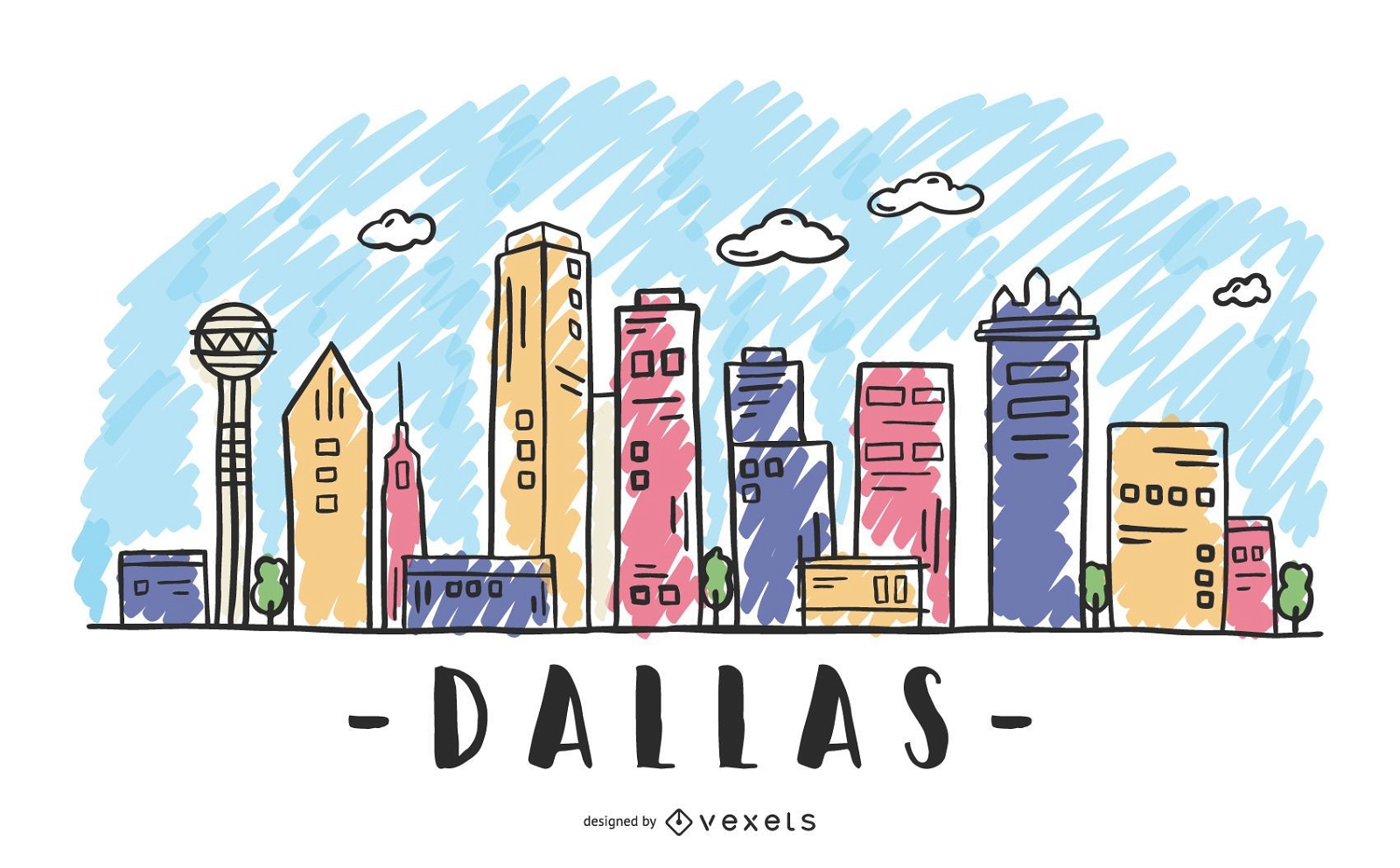
Horizonte colorido de Dallas
Escolha uma pasta
Todos os favoritos
Criar novo
Salvar
Horizonte colorido de Dallas
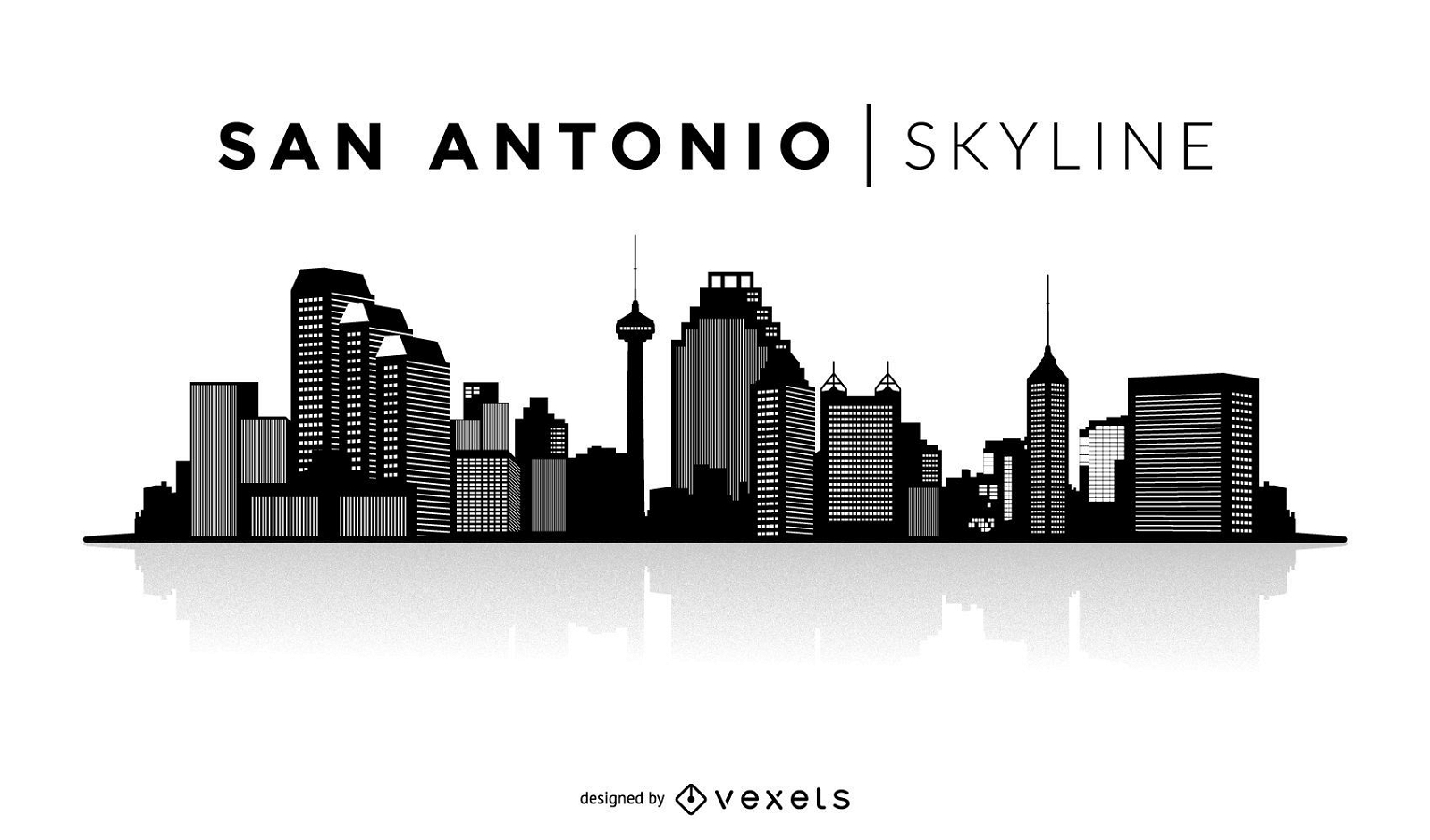
Silhueta do horizonte de San Antonio
Escolha uma pasta
Todos os favoritos
Criar novo
Salvar
Silhueta do horizonte de San Antonio
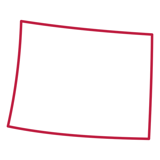
Silhueta do mapa Idaho eua Desenho PNG
Escolha uma pasta
Todos os favoritos
Criar novo
Salvar
Silhueta do mapa Idaho eua Desenho PNG
Pronto para imprimir
para Merch
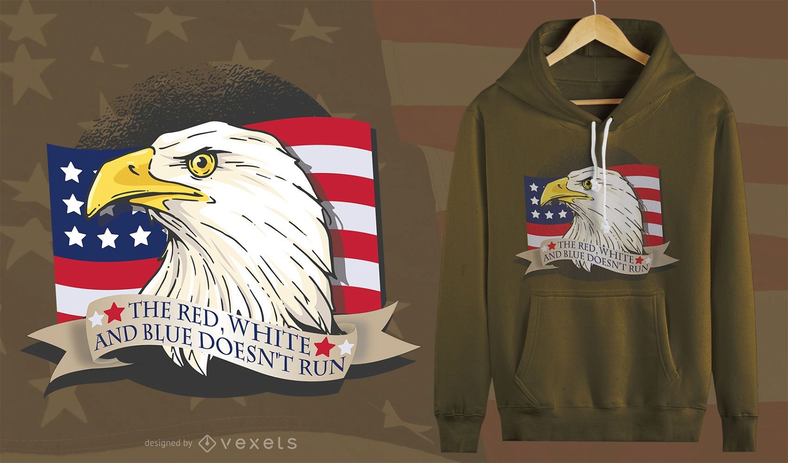
Design de camisetas American Patriot Eagle
Escolha uma pasta
Todos os favoritos
Criar novo
Salvar
Design de camisetas American Patriot Eagle
para Merch
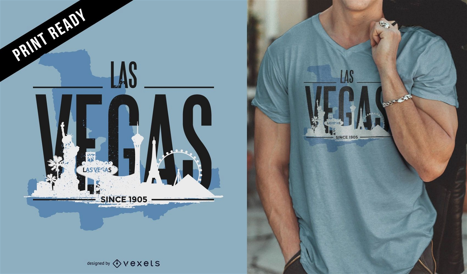
Design de camiseta com o horizonte de Las Vegas
Escolha uma pasta
Todos os favoritos
Criar novo
Salvar
Design de camiseta com o horizonte de Las Vegas
para Merch
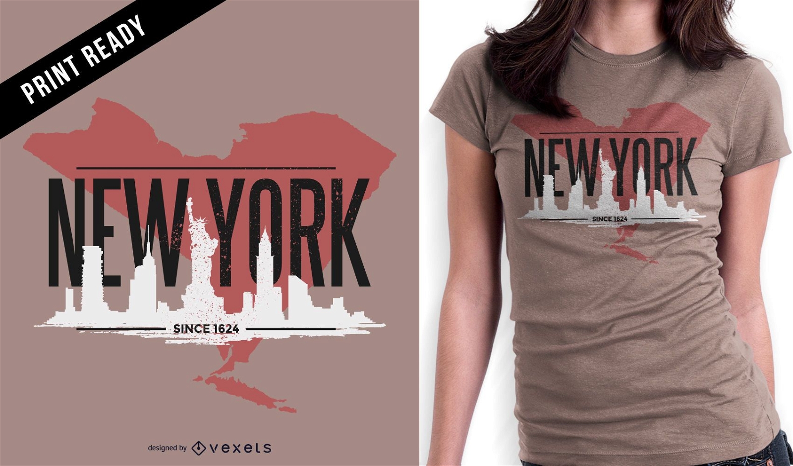
Design de t-shirt resistente de Nova York
Escolha uma pasta
Todos os favoritos
Criar novo
Salvar
Design de t-shirt resistente de Nova York
Premium
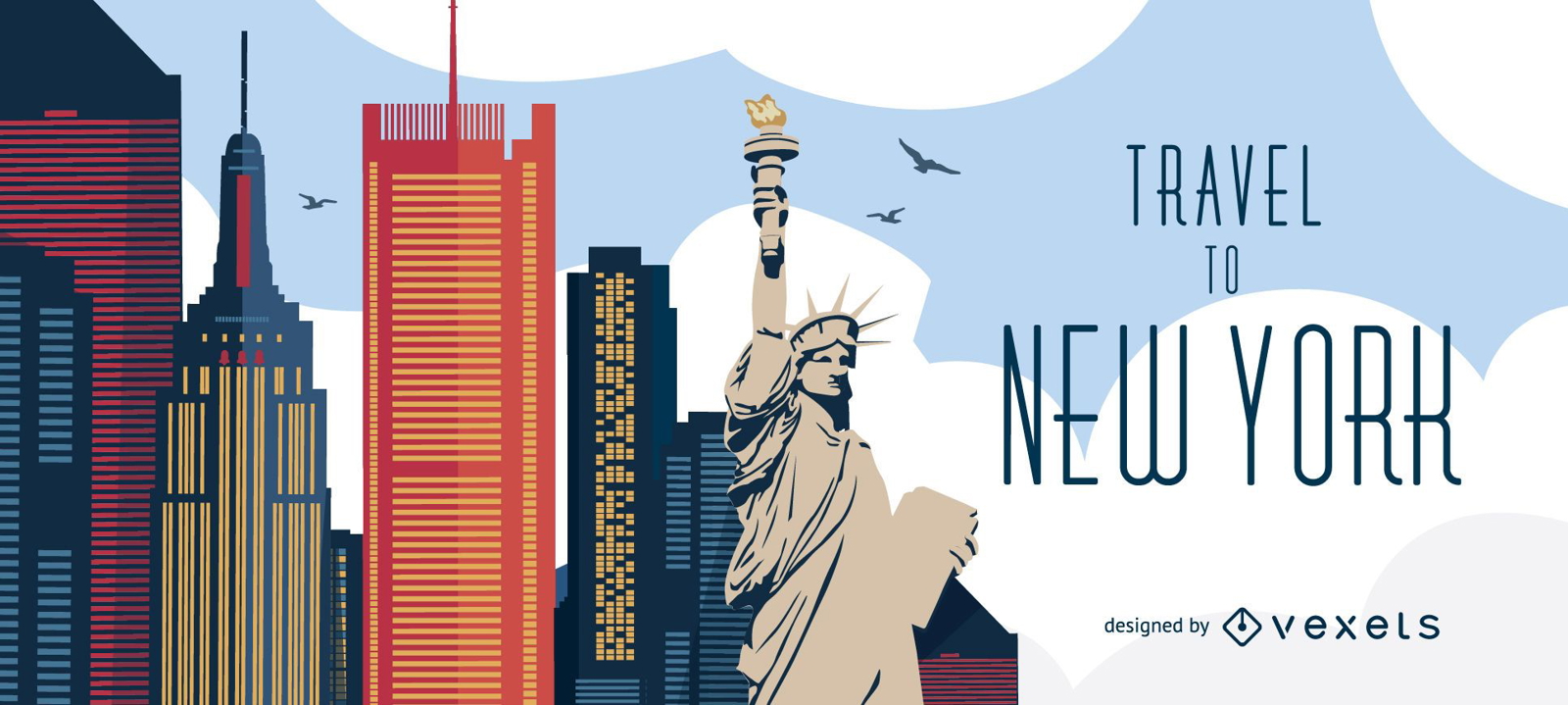
Viagem ao horizonte de Nova York
Escolha uma pasta
Todos os favoritos
Criar novo
Salvar
Viagem ao horizonte de Nova York
Premium
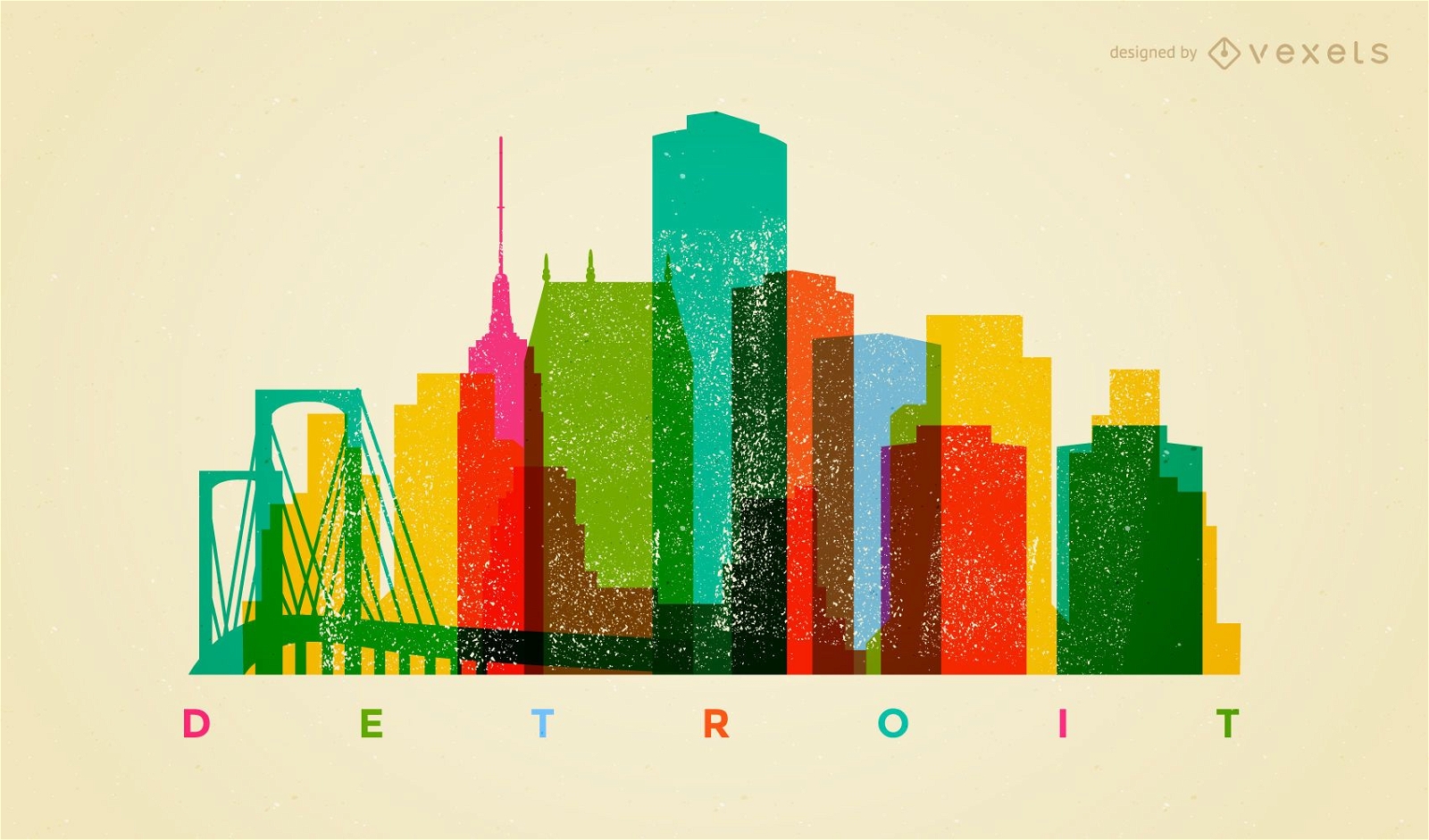
Horizonte colorido de Detroit
Escolha uma pasta
Todos os favoritos
Criar novo
Salvar
Horizonte colorido de Detroit
Premium
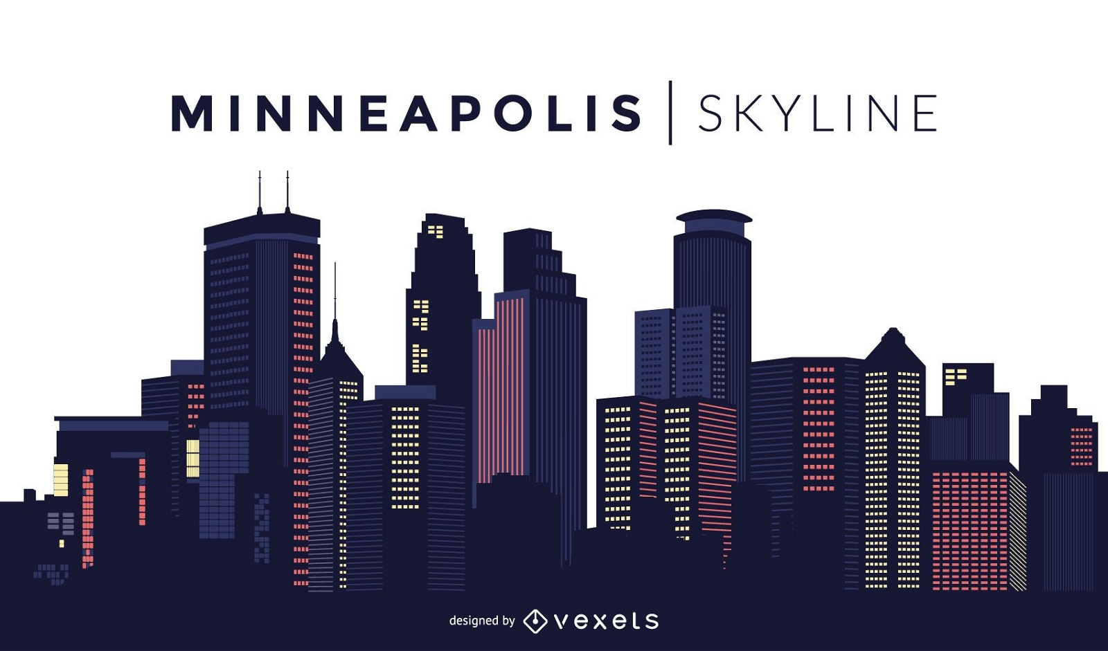
Projeto do horizonte de Minneapolis
Escolha uma pasta
Todos os favoritos
Criar novo
Salvar
Projeto do horizonte de Minneapolis
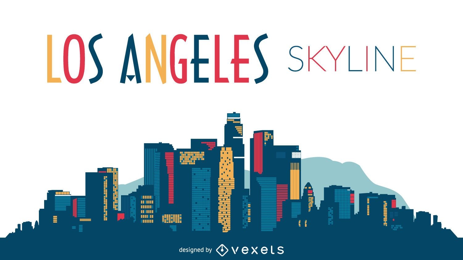
Projeto da silhueta do horizonte de Los Angeles
Escolha uma pasta
Todos os favoritos
Criar novo
Salvar
Projeto da silhueta do horizonte de Los Angeles
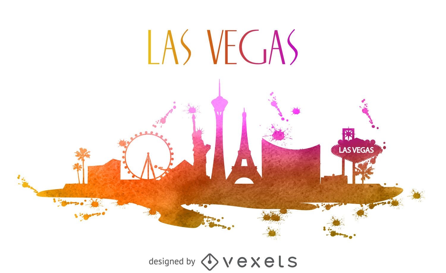
Horizonte em aquarela de Las Vegas
Escolha uma pasta
Todos os favoritos
Criar novo
Salvar
Horizonte em aquarela de Las Vegas
FourthofJuly-PhrasesUSAShape - 3 Desenho PNG
Escolha uma pasta
Todos os favoritos
Criar novo
Salvar
FourthofJuly-PhrasesUSAShape - 3 Desenho PNG
Pronto para imprimir
para Merch
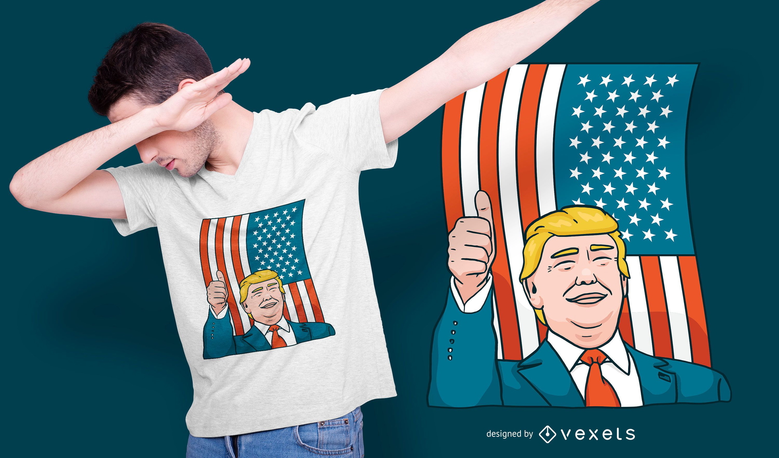
Design de camiseta Donald Trump
Escolha uma pasta
Todos os favoritos
Criar novo
Salvar
Design de camiseta Donald Trump
Premium
Dallas Texas Skyline Design
Escolha uma pasta
Todos os favoritos
Criar novo
Salvar
Dallas Texas Skyline Design
Bolo deleites de comida retrô Desenho PNG
Escolha uma pasta
Todos os favoritos
Criar novo
Salvar
Bolo deleites de comida retrô Desenho PNG
Pronto para imprimir
para Merch
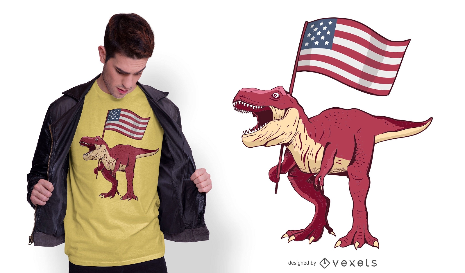
Design de camiseta patriótica T-rex
Escolha uma pasta
Todos os favoritos
Criar novo
Salvar
Design de camiseta patriótica T-rex
Ribon vermelho azul da listra Desenho PNG
Escolha uma pasta
Todos os favoritos
Criar novo
Salvar
Ribon vermelho azul da listra Desenho PNG
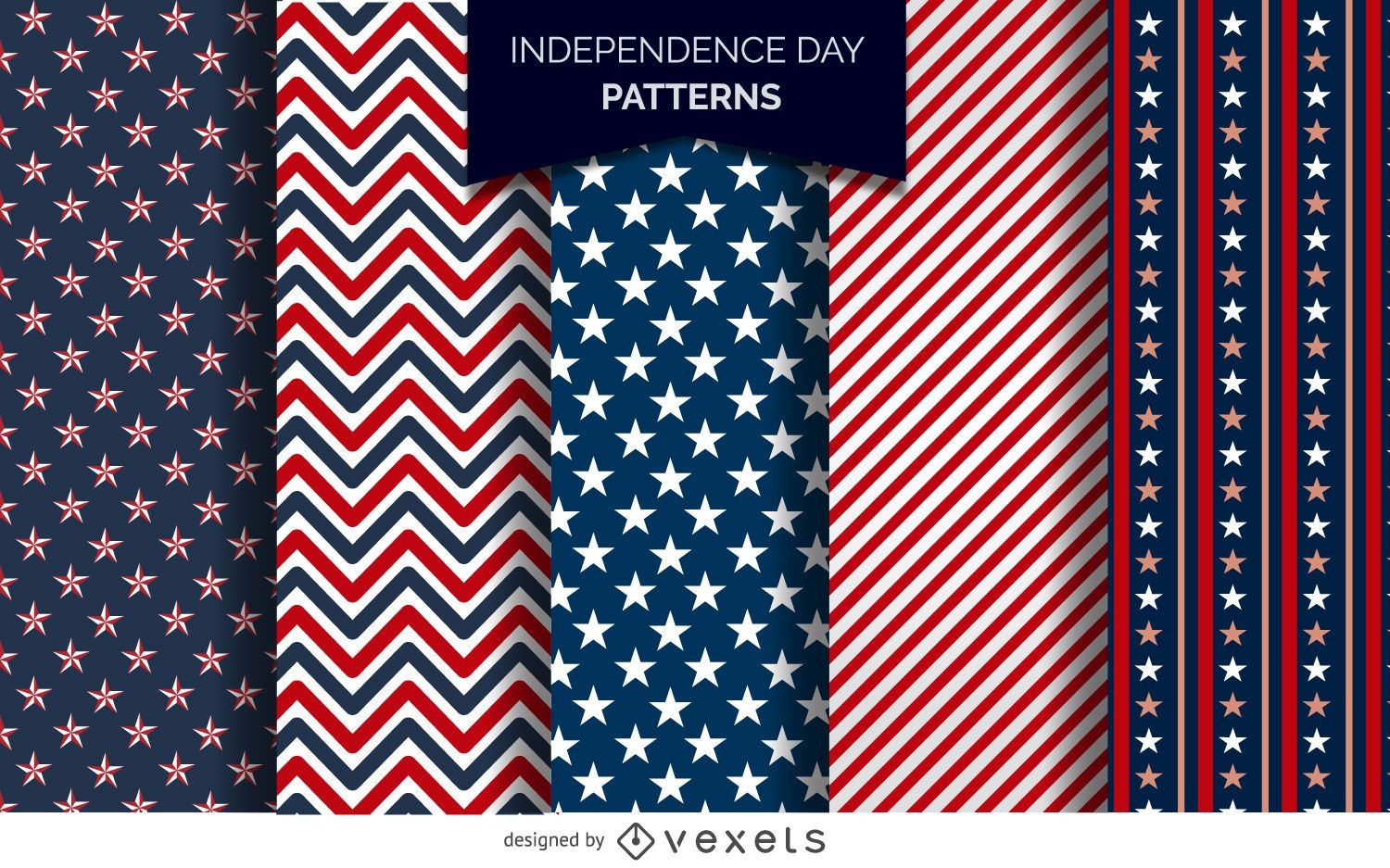
Padrões do Dia da Independência dos EUA
Escolha uma pasta
Todos os favoritos
Criar novo
Salvar
Padrões do Dia da Independência dos EUA
Premium
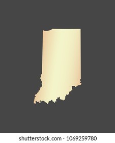
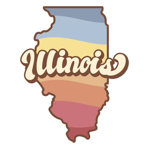
O estado de Illinois Desenho PNG
Escolha uma pasta
Todos os favoritos
Criar novo
Salvar
O estado de Illinois Desenho PNG
Pronto para imprimir
Premium
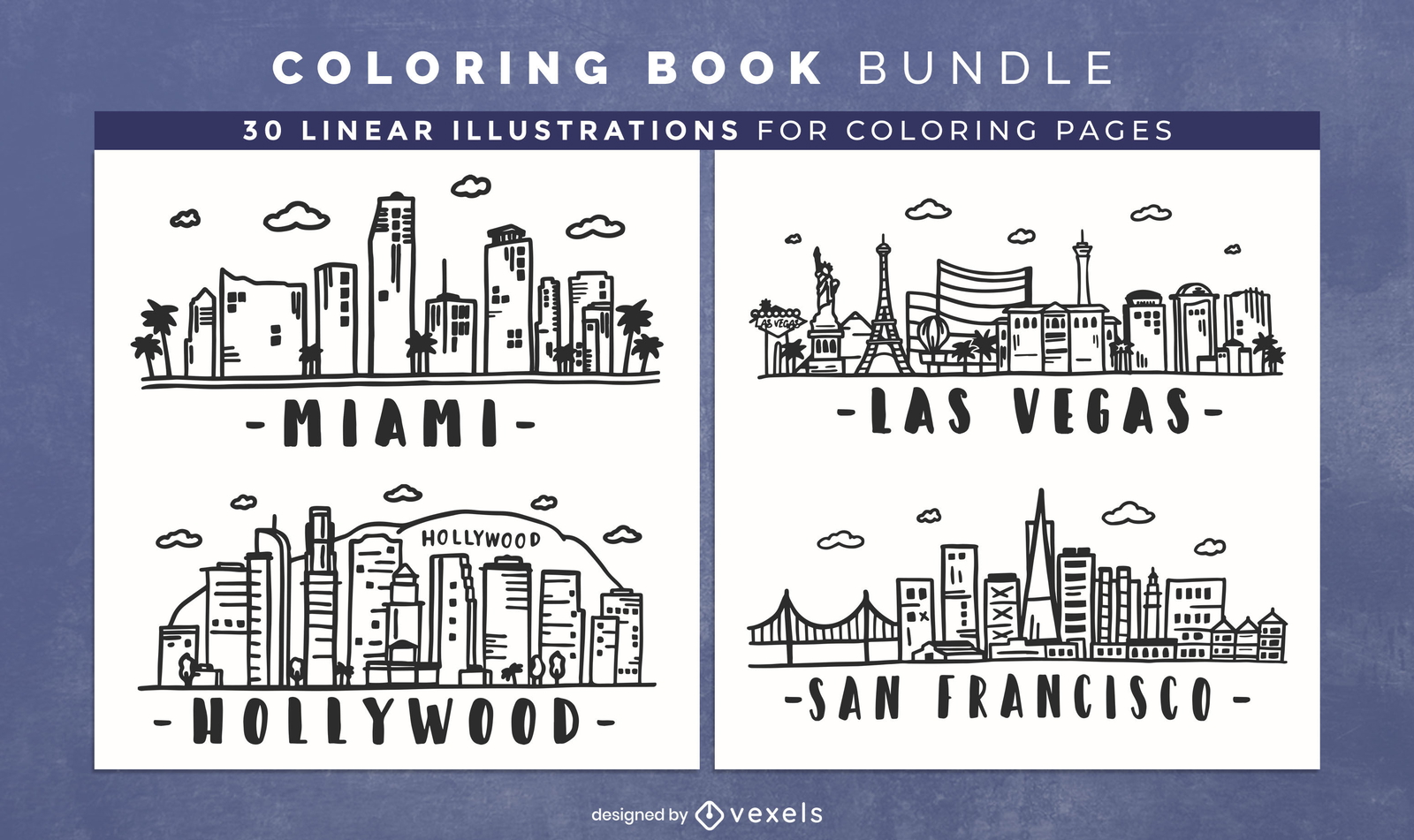
Design de páginas de livro para colorir de skylines dos EUA
Escolha uma pasta
Todos os favoritos
Criar novo
Salvar
Design de páginas de livro para colorir de skylines dos EUA
Pronto para imprimir
para Merch
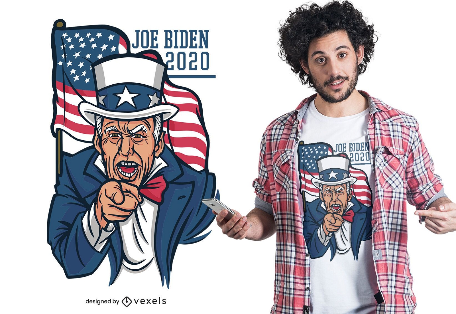
Design de camiseta Joe biden 2020
Escolha uma pasta
Todos os favoritos
Criar novo
Salvar
Design de camiseta Joe biden 2020
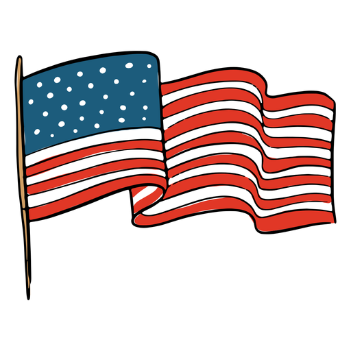
Bandeira americana Desenho PNG
Escolha uma pasta
Todos os favoritos
Criar novo
Salvar
Bandeira americana Desenho PNG
Pronto para imprimir
para Merch
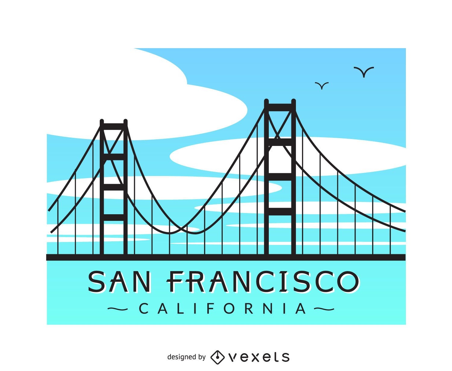
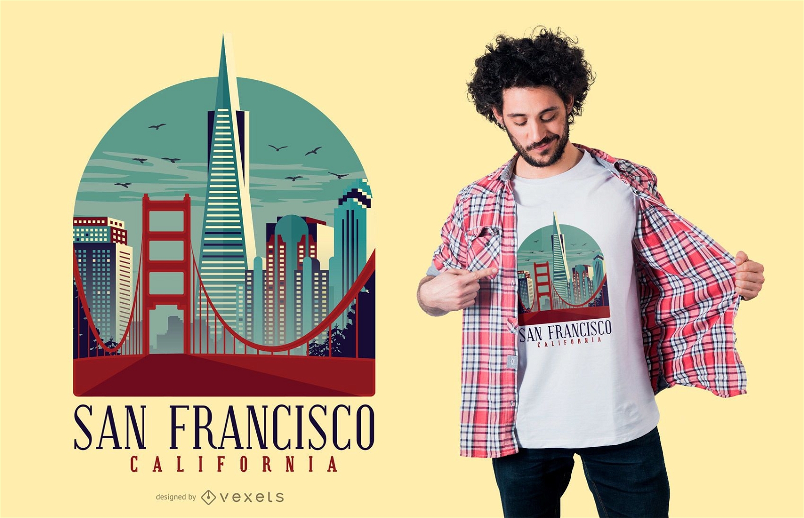
Design de camisetas de São Francisco na Califórnia
Escolha uma pasta
Todos os favoritos
Criar novo
Salvar
Design de camisetas de São Francisco na Califórnia
Premium
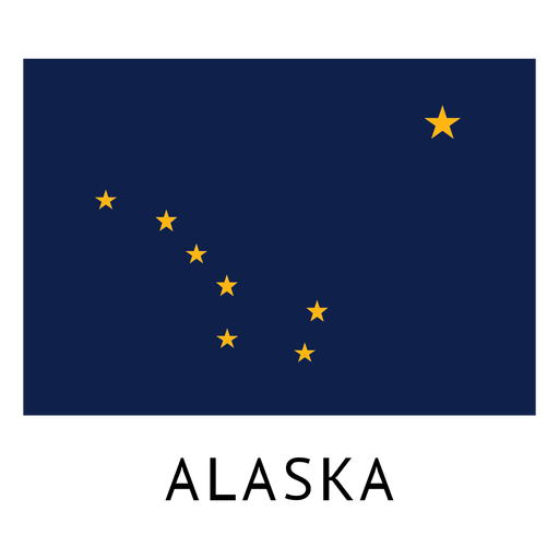
Bandeira do estado do Alasca Desenho PNG
Escolha uma pasta
Todos os favoritos
Criar novo
Salvar
Bandeira do estado do Alasca Desenho PNG
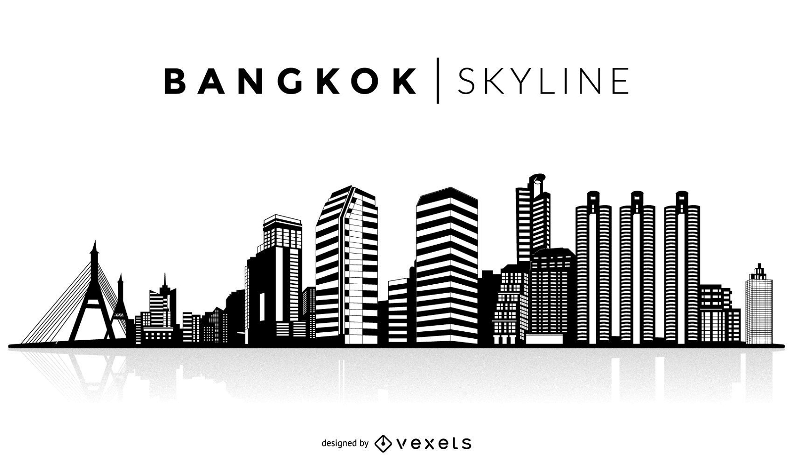
Silhueta de Bangkok
Escolha uma pasta
Todos os favoritos
Criar novo
Salvar
Silhueta de Bangkok
Premium
O estado da Califórnia é mostrado Desenho PNG
Escolha uma pasta
Todos os favoritos
Criar novo
Salvar
O estado da Califórnia é mostrado Desenho PNG
texto editável
Pronto para imprimir
para Merch
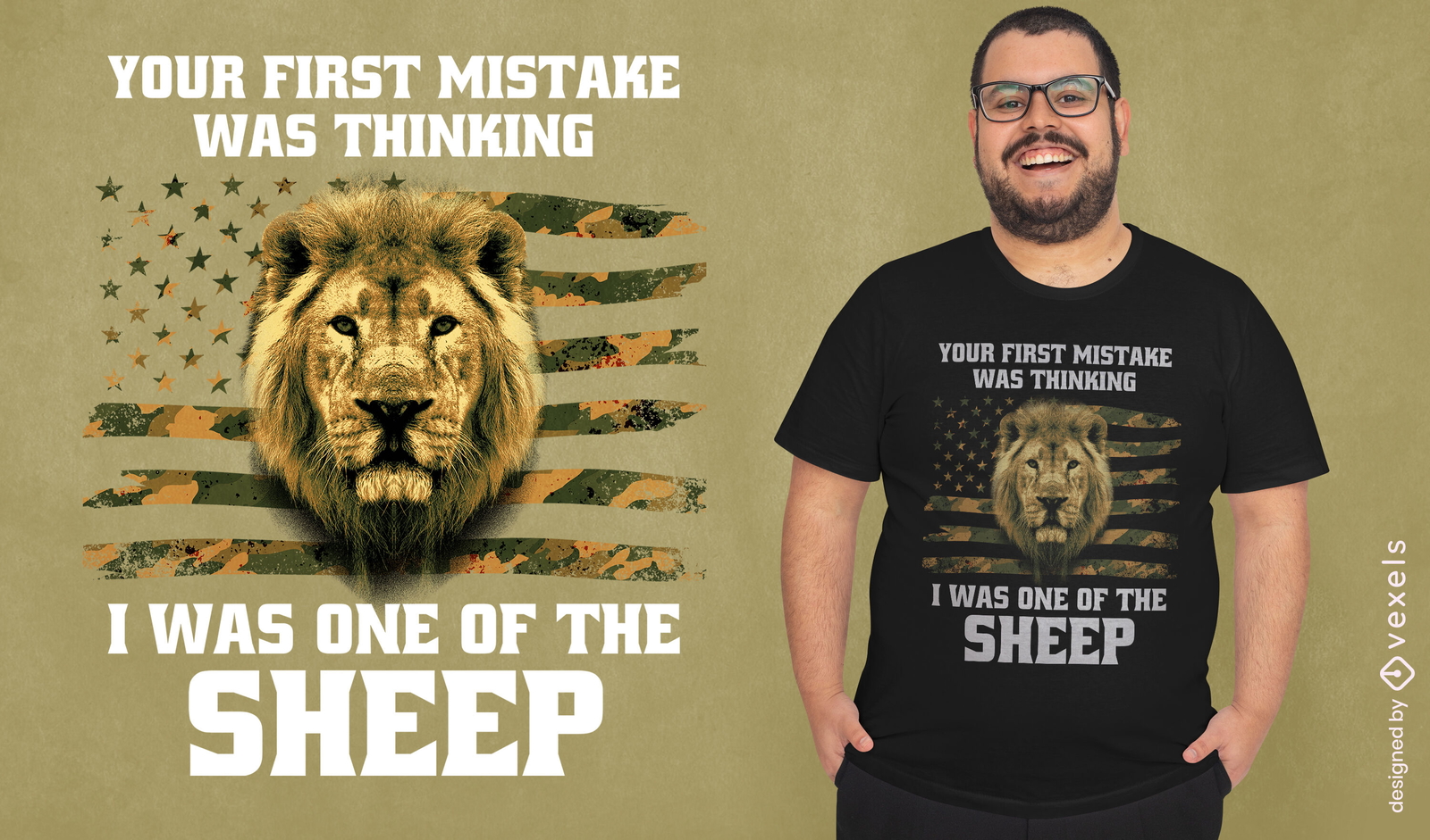
Bandeira dos EUA e design de camiseta de leão
Escolha uma pasta
Todos os favoritos
Criar novo
Salvar
Bandeira dos EUA e design de camiseta de leão
Pronto para imprimir
para Merch
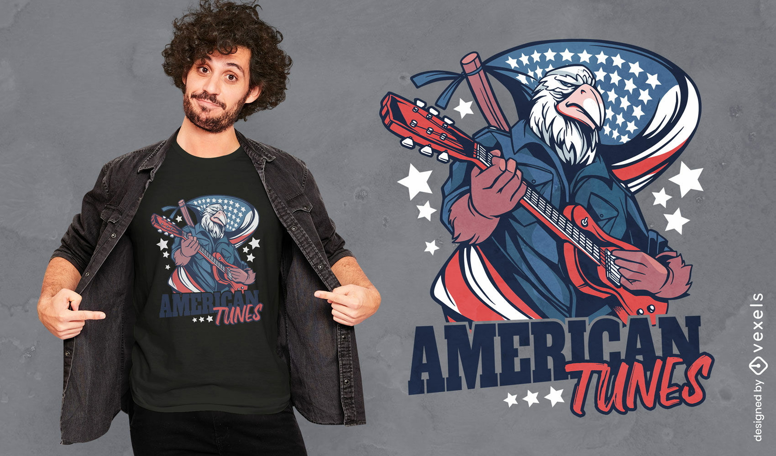
Águia com design de camiseta americana de guitarra
Escolha uma pasta
Todos os favoritos
Criar novo
Salvar
Águia com design de camiseta americana de guitarra
Pronto para imprimir
para Merch
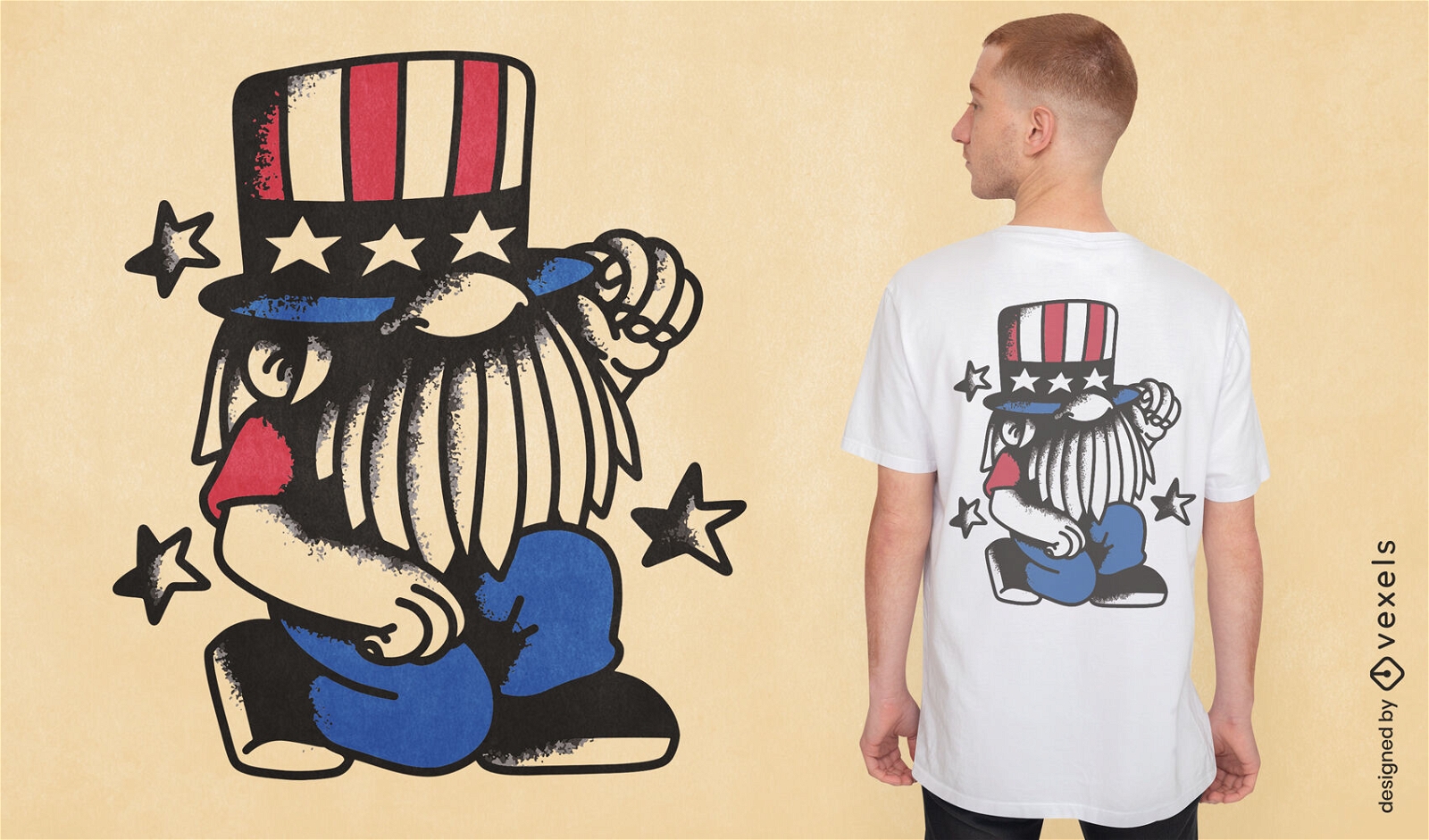
design de camiseta de gnomo de 4 de julho
Escolha uma pasta
Todos os favoritos
Criar novo
Salvar
design de camiseta de gnomo de 4 de julho
Pronto para imprimir
para Merch
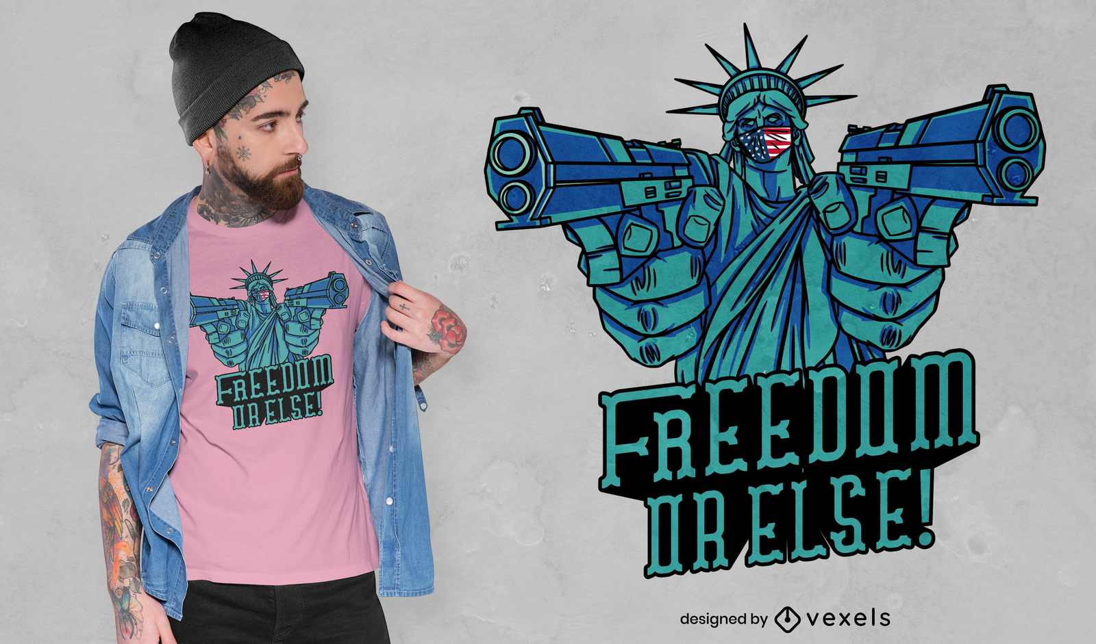
Liberdade ou então cite design de camiseta
Escolha uma pasta
Todos os favoritos
Criar novo
Salvar
Liberdade ou então cite design de camiseta
Impulsione seu negócio
Com a plataforma gráfica líder de mercado.
Ver planos
Próxima
do 49
prev page
next page