Biblioteca de design
Novos designs Merch
Camisetas
Vectores
Designs de Merch de Tendência
PNGs & SVGs
Mockups
Modelos de T-Shirt PSD
Explorar Desenhos
Designs KDP
Pôsteres
Canecas
Capas para celular
Sacos de compras
Almofadas
Ferramentas de desenho
Merch Designer
Novo!
Mockup Generator
Gerador de Design de AI
Vetorizador
Quote Generator
T-Shirt Maker (Antigo)
Ajuda
Merch Digest
Blog
Centro de Ajuda
Saiba mais sobre o Merch
Feedback
Soluções Corporativas
Empresa
Acesso à API
Estúdio de Design
Design em Lote
Preços
Carregando...
Inscrever-se
Conecte-se
All
states
Biblioteca de design
Novos designs Merch
Camisetas
Vectores
Designs de Merch de Tendência
PNGs & SVGs
Mockups
Modelos de T-Shirt PSD
Explorar Desenhos
Designs KDP
Pôsteres
Canecas
Capas para celular
Sacos de compras
Almofadas
Ferramentas de desenho
Merch Designer
Novo!
Mockup Generator
Gerador de Design de AI
Vetorizador
Quote Generator
T-Shirt Maker (Antigo)
Ajuda
Merch Digest
Blog
Centro de Ajuda
Saiba mais sobre o Merch
Feedback
Soluções Corporativas
Empresa
Acesso à API
Estúdio de Design
Design em Lote
PLANOS
All
states
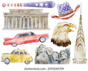
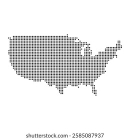
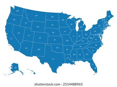
2438 Gráficos e Designs de states para Camisetas e Merch print on demand
Baixar designs de camisetas e para merch, como capas de livro, capas de celular, tote bags e mais de states
Relacionado:
estados unidos
,
estados
,
bandeira dos estados unidos
Ordenar por
Mais relevante
Resultados patrocinados da
Ganhe 15% de desconto com o código: VEXELS15
veja mais detalhes
Pronto para imprimir
para Merch
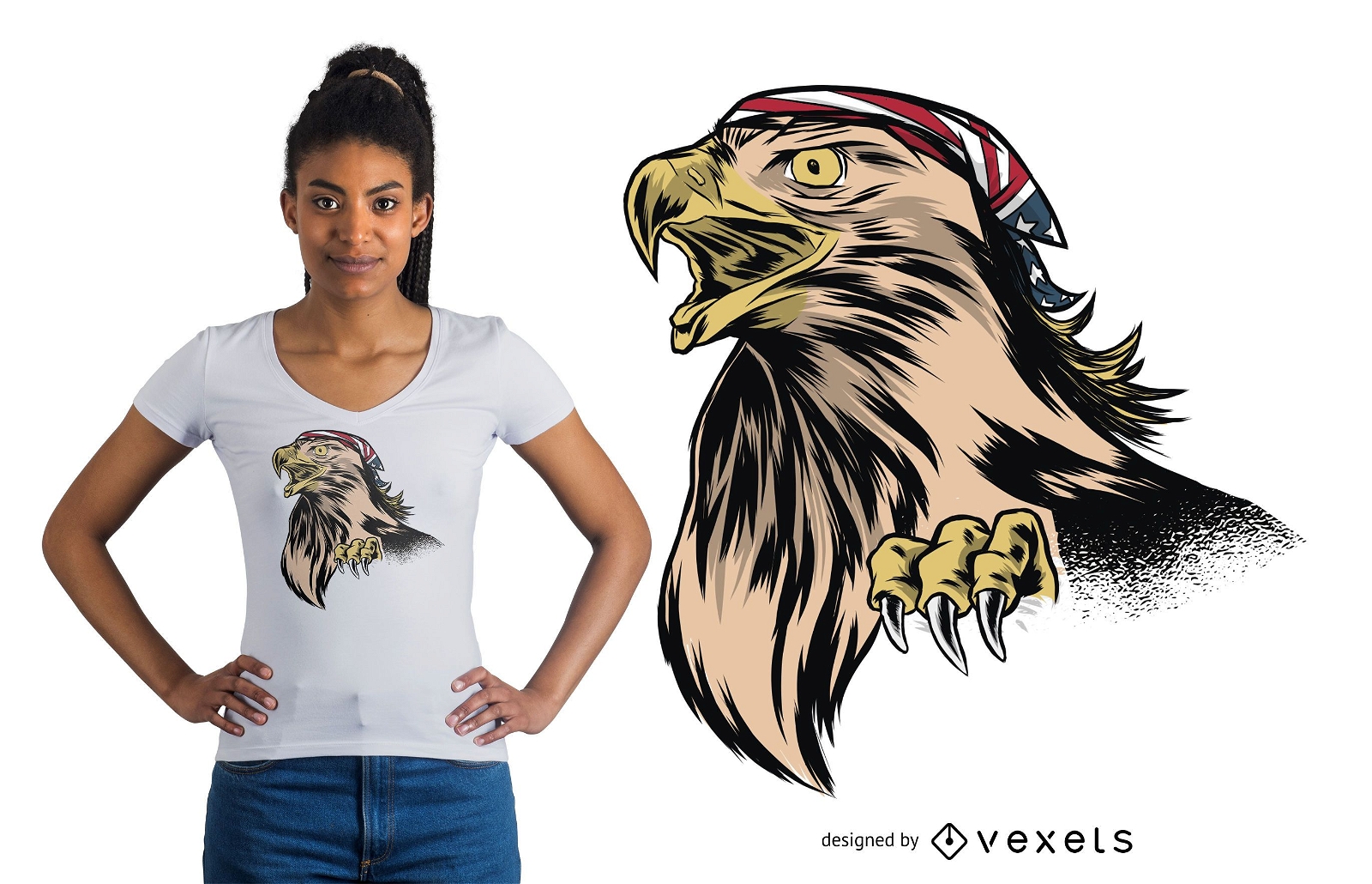
Design engraçado de camisetas Eagle
Escolha uma pasta
Todos os favoritos
Criar novo
Salvar
Design engraçado de camisetas Eagle
para Merch
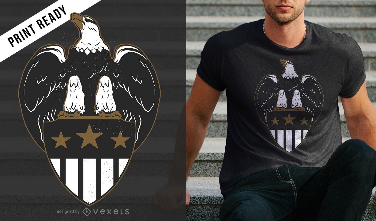
Design de t-shirt Eagle Shield
Escolha uma pasta
Todos os favoritos
Criar novo
Salvar
Design de t-shirt Eagle Shield
Premium
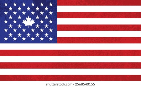
Elemento de design da bandeira americana Desenho PNG
Escolha uma pasta
Todos os favoritos
Criar novo
Salvar
Elemento de design da bandeira americana Desenho PNG
Premium
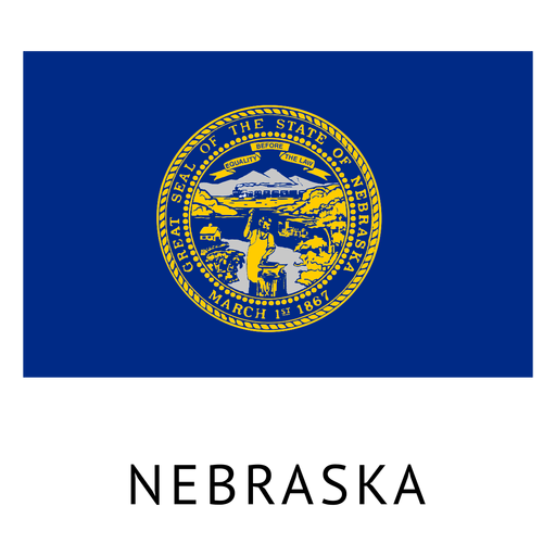
Bandeira do estado de Nebraska Desenho PNG
Escolha uma pasta
Todos os favoritos
Criar novo
Salvar
Bandeira do estado de Nebraska Desenho PNG
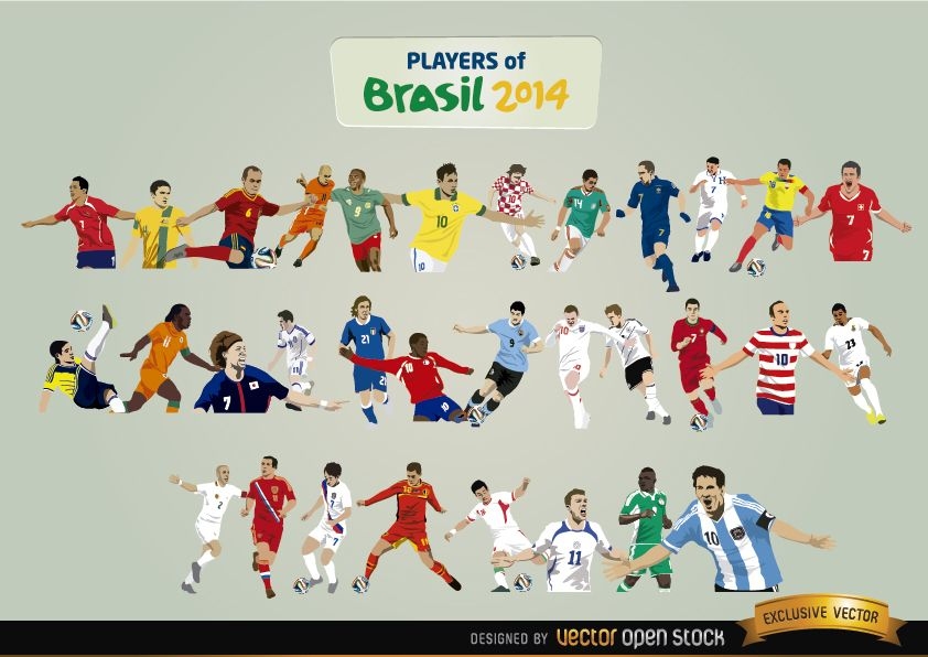
Jogadores do Brasil 2014
Escolha uma pasta
Todos os favoritos
Criar novo
Salvar
Jogadores do Brasil 2014
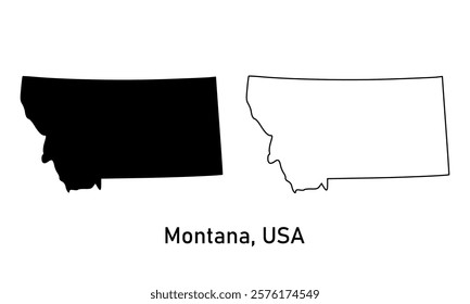
Letras escovadas Utah Desenho PNG
Escolha uma pasta
Todos os favoritos
Criar novo
Salvar
Letras escovadas Utah Desenho PNG
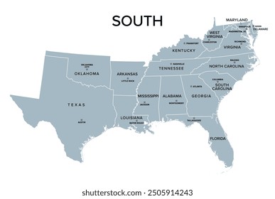
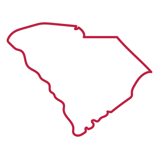
Mapa de acidente vascular cerebral do estado da Carolina do Sul Desenho PNG
Escolha uma pasta
Todos os favoritos
Criar novo
Salvar
Mapa de acidente vascular cerebral do estado da Carolina do Sul Desenho PNG
Pronto para imprimir
para Merch
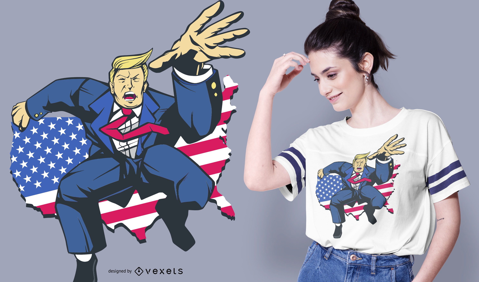
Design de camiseta em quadrinhos trunfo
Escolha uma pasta
Todos os favoritos
Criar novo
Salvar
Design de camiseta em quadrinhos trunfo
Premium
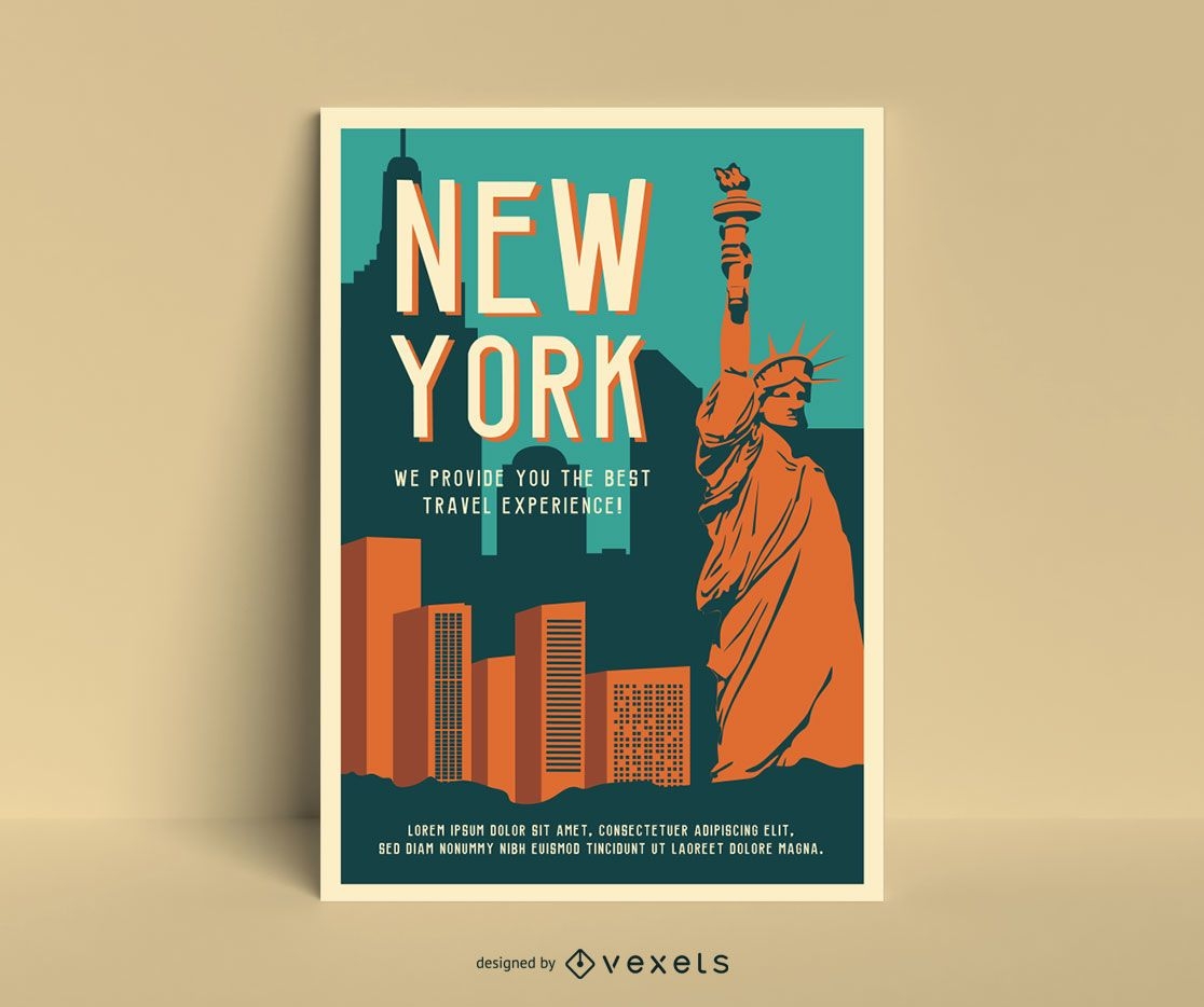
Modelo de pôster vintage de Nova York
Escolha uma pasta
Todos os favoritos
Criar novo
Salvar
Modelo de pôster vintage de Nova York
Pronto para imprimir
para Merch
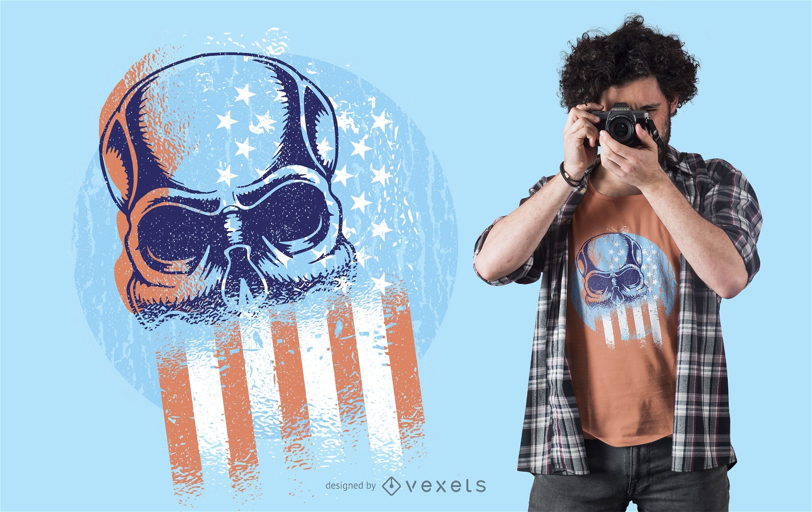
Design de t-shirt da bandeira dos EUA com caveira
Escolha uma pasta
Todos os favoritos
Criar novo
Salvar
Design de t-shirt da bandeira dos EUA com caveira
para Merch
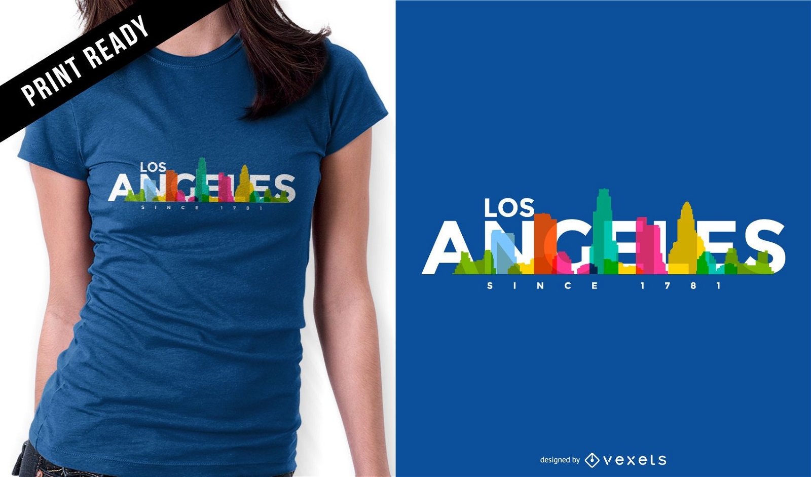
Design de camisetas com o horizonte de Los Angeles
Escolha uma pasta
Todos os favoritos
Criar novo
Salvar
Design de camisetas com o horizonte de Los Angeles
Premium
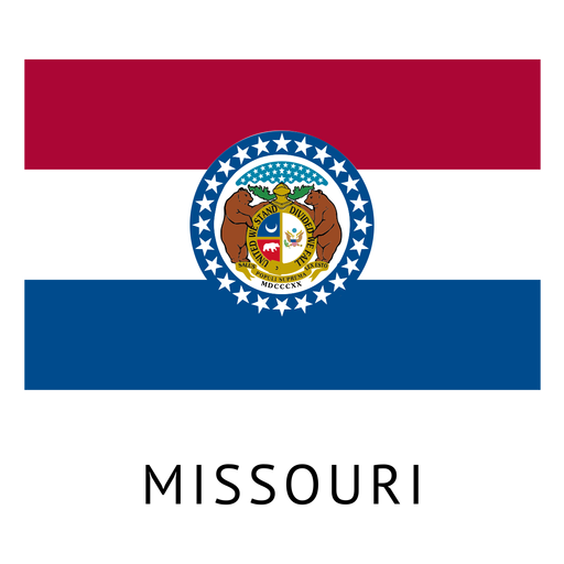
Bandeira do estado de Missouri Desenho PNG
Escolha uma pasta
Todos os favoritos
Criar novo
Salvar
Bandeira do estado de Missouri Desenho PNG
Silhueta de horizonte de Miami em azul Desenho PNG
Escolha uma pasta
Todos os favoritos
Criar novo
Salvar
Silhueta de horizonte de Miami em azul Desenho PNG
Pronto para imprimir
para Merch
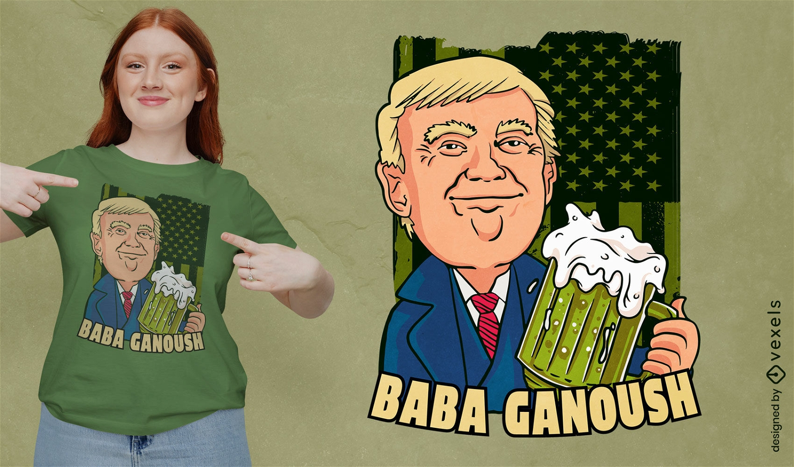
Trump bebendo cerveja design de t-shirt
Escolha uma pasta
Todos os favoritos
Criar novo
Salvar
Trump bebendo cerveja design de t-shirt
Letras em negrito Ohio Desenho PNG
Escolha uma pasta
Todos os favoritos
Criar novo
Salvar
Letras em negrito Ohio Desenho PNG
Flâmulas desenhadas à mão Desenho PNG
Escolha uma pasta
Todos os favoritos
Criar novo
Salvar
Flâmulas desenhadas à mão Desenho PNG
Premium
Elemento de design de coração americano Desenho PNG
Escolha uma pasta
Todos os favoritos
Criar novo
Salvar
Elemento de design de coração americano Desenho PNG
Premium
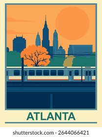
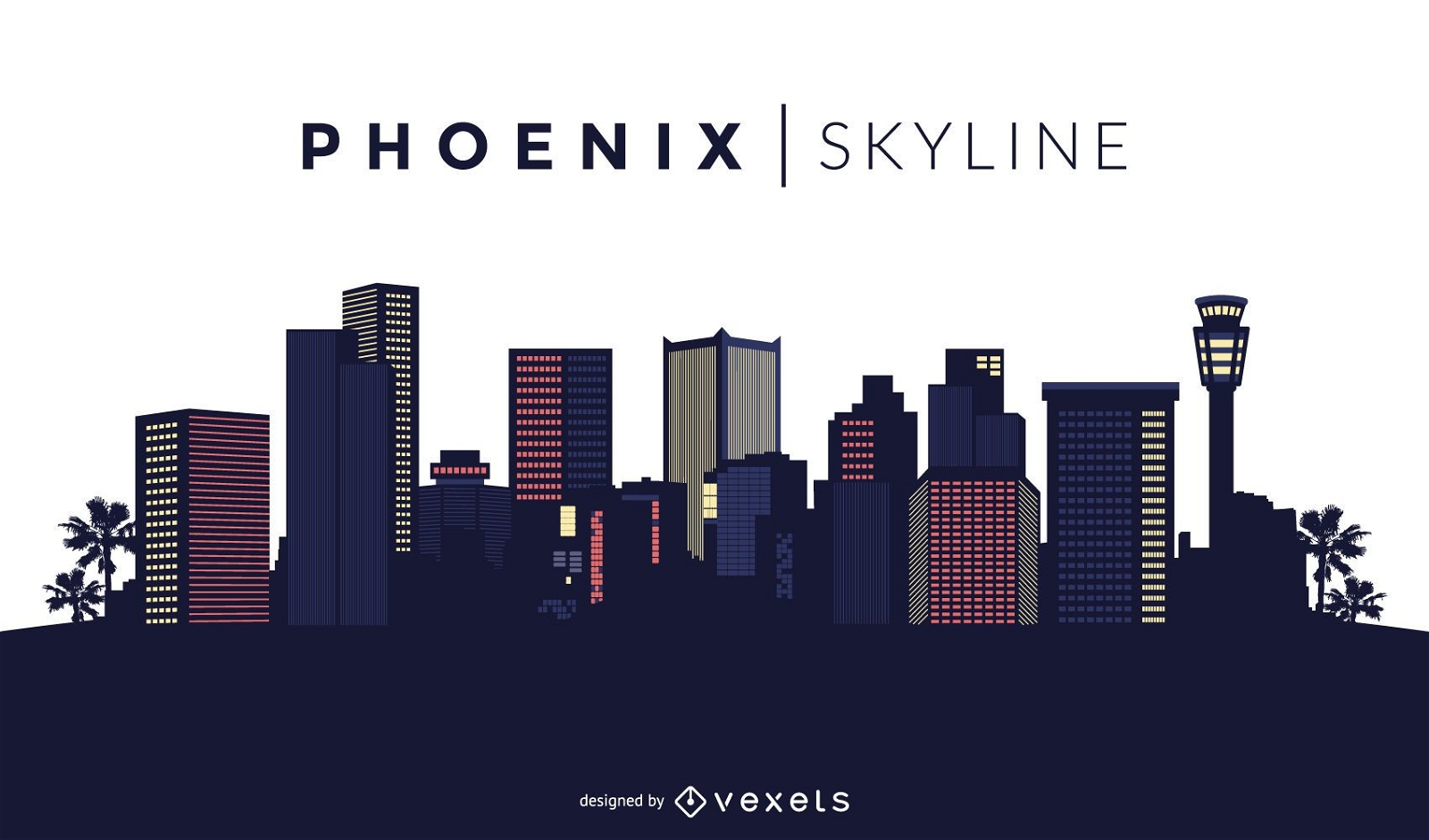
Projeto do horizonte de Phoenix
Escolha uma pasta
Todos os favoritos
Criar novo
Salvar
Projeto do horizonte de Phoenix
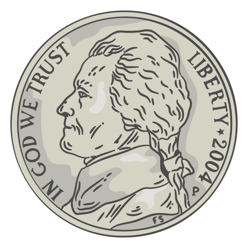
Cabeça de níquel de ilustração de moeda Desenho PNG
Escolha uma pasta
Todos os favoritos
Criar novo
Salvar
Cabeça de níquel de ilustração de moeda Desenho PNG
Pronto para imprimir
para Merch
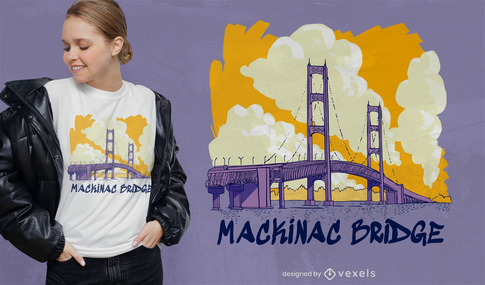
Design de camiseta de viagem Mackinac bridge US
Escolha uma pasta
Todos os favoritos
Criar novo
Salvar
Design de camiseta de viagem Mackinac bridge US
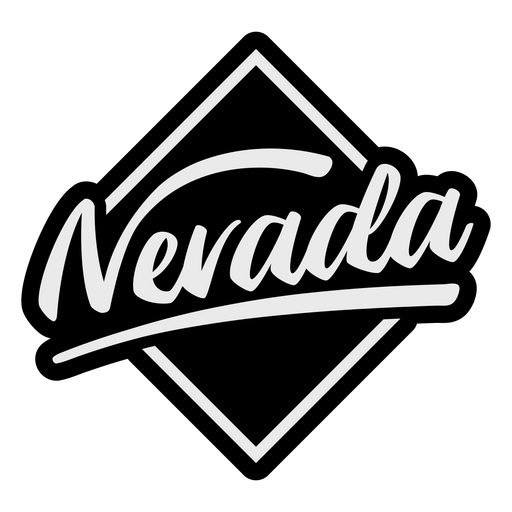
Letras escovadas Nevada Desenho PNG
Escolha uma pasta
Todos os favoritos
Criar novo
Salvar
Letras escovadas Nevada Desenho PNG
Pronto para imprimir
para Merch
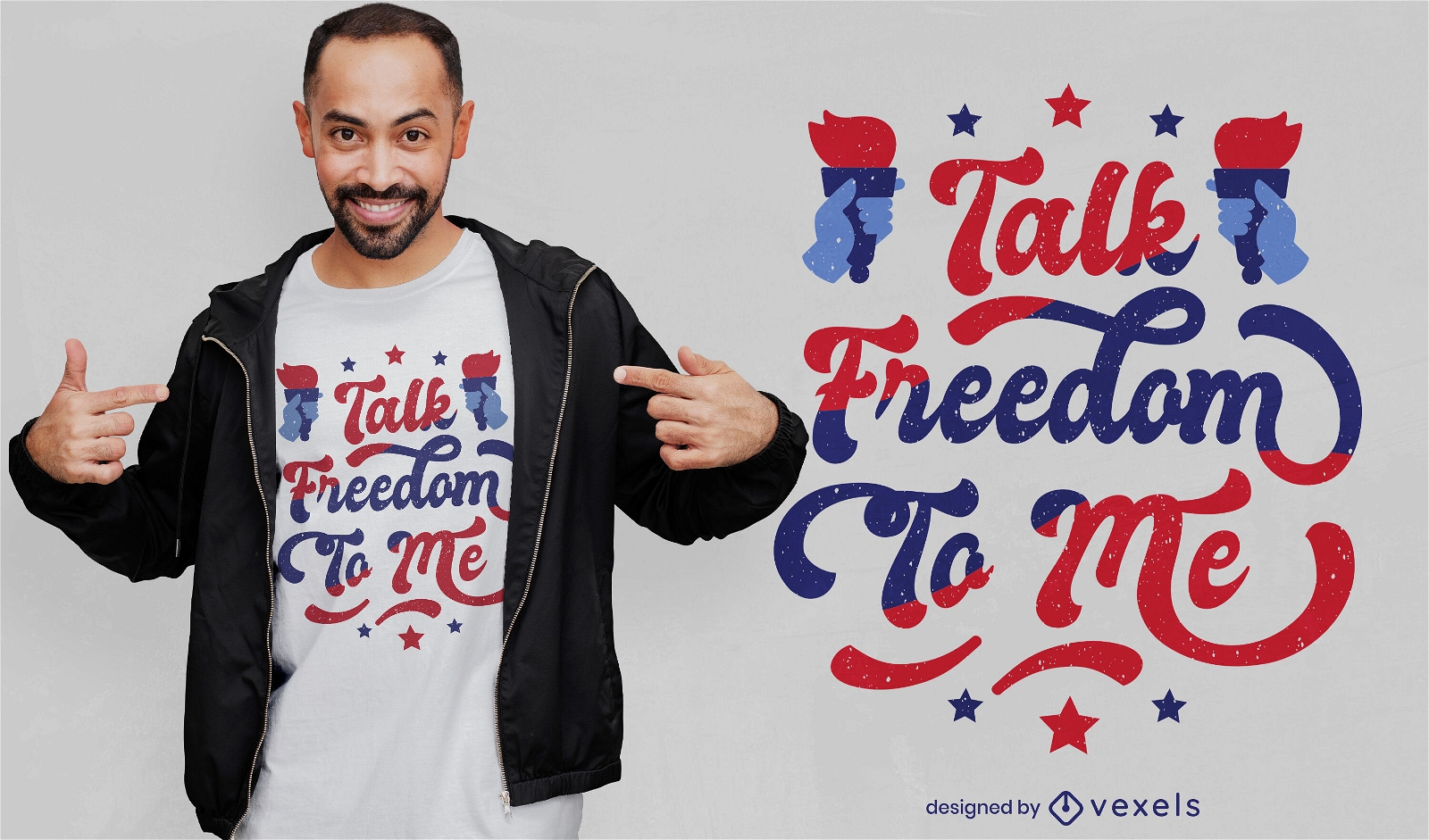
Fale liberdade para mim design de t-shirt
Escolha uma pasta
Todos os favoritos
Criar novo
Salvar
Fale liberdade para mim design de t-shirt
Pronto para imprimir
para Merch
Lindo design de camiseta da Casa Branca
Escolha uma pasta
Todos os favoritos
Criar novo
Salvar
Lindo design de camiseta da Casa Branca
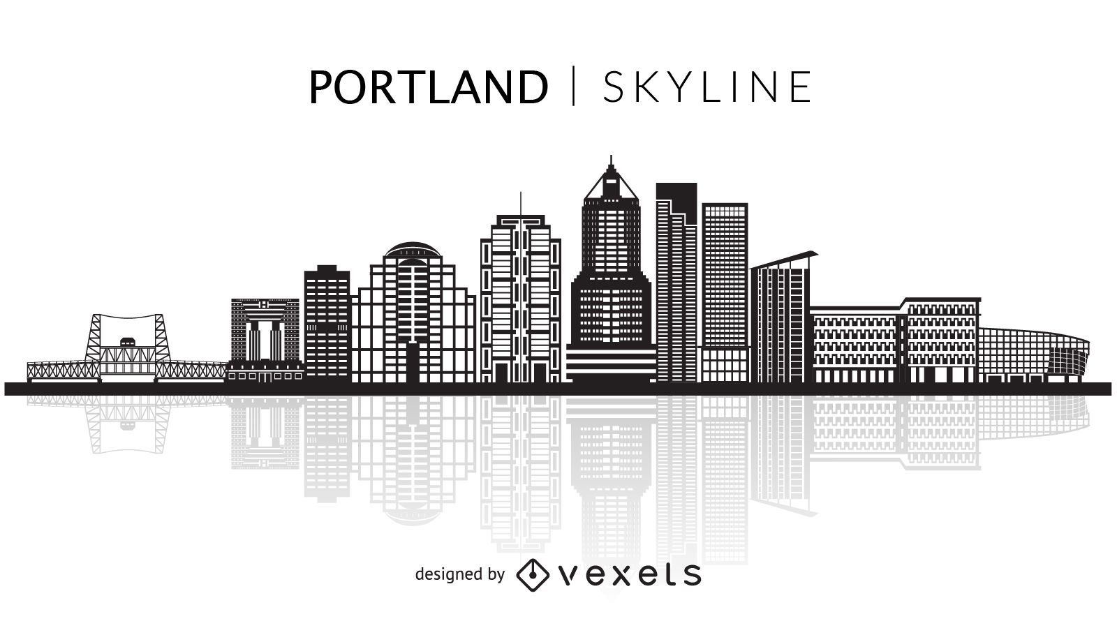
Silhueta do horizonte de Portland
Escolha uma pasta
Todos os favoritos
Criar novo
Salvar
Silhueta do horizonte de Portland
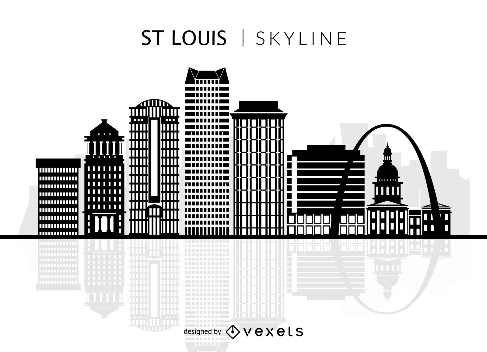
Silhueta do horizonte de St Louis
Escolha uma pasta
Todos os favoritos
Criar novo
Salvar
Silhueta do horizonte de St Louis
Letras em negrito Tennessee Desenho PNG
Escolha uma pasta
Todos os favoritos
Criar novo
Salvar
Letras em negrito Tennessee Desenho PNG
para Merch
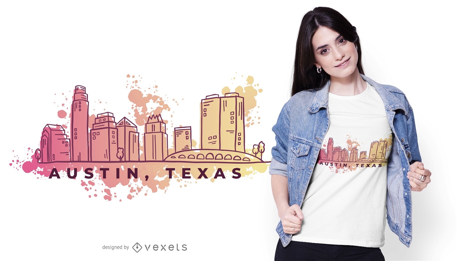
Design de camiseta Austin Texas Watercolor Skyline
Escolha uma pasta
Todos os favoritos
Criar novo
Salvar
Design de camiseta Austin Texas Watercolor Skyline
Pronto para imprimir
para Merch
Design de camiseta gata americana
Escolha uma pasta
Todos os favoritos
Criar novo
Salvar
Design de camiseta gata americana
Premium
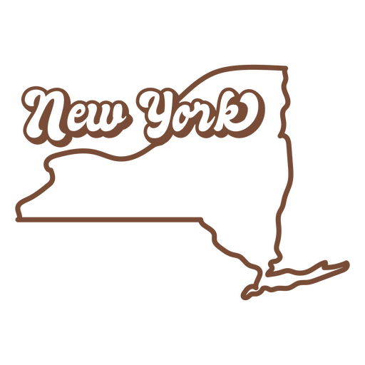
O estado de Nova York é mostrado em marrom Desenho PNG
Escolha uma pasta
Todos os favoritos
Criar novo
Salvar
O estado de Nova York é mostrado em marrom Desenho PNG
FourthofJuly-AmericaIcons-VintageMetal - 9 Desenho PNG
Escolha uma pasta
Todos os favoritos
Criar novo
Salvar
FourthofJuly-AmericaIcons-VintageMetal - 9 Desenho PNG
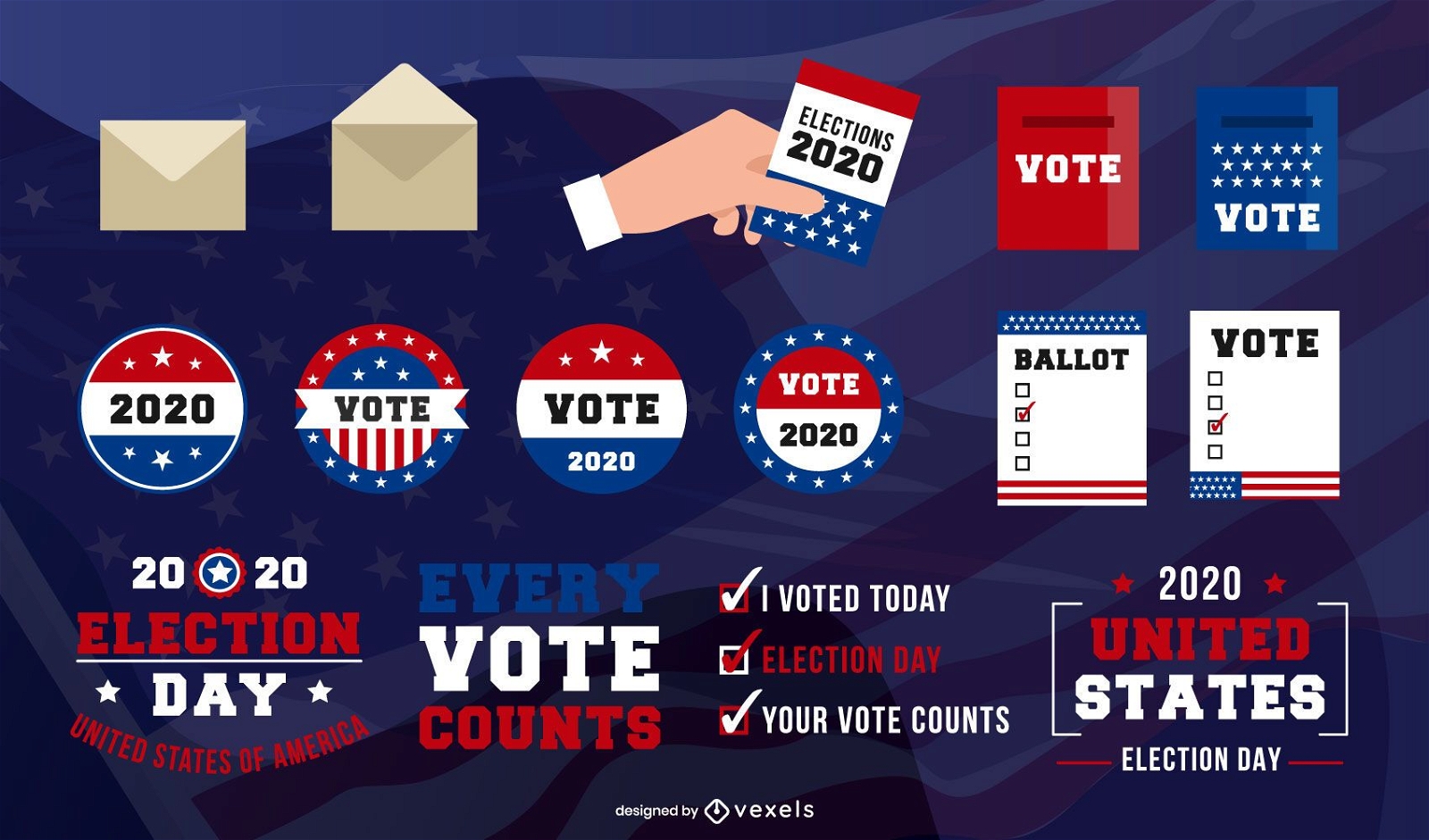
Pacote de Elementos do Dia da Eleição dos EUA
Escolha uma pasta
Todos os favoritos
Criar novo
Salvar
Pacote de Elementos do Dia da Eleição dos EUA
Pronto para imprimir
para Merch
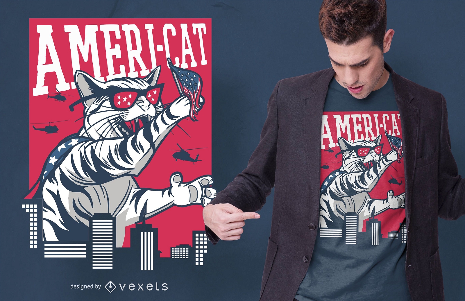
Design de camisetas Ameri Cat
Escolha uma pasta
Todos os favoritos
Criar novo
Salvar
Design de camisetas Ameri Cat
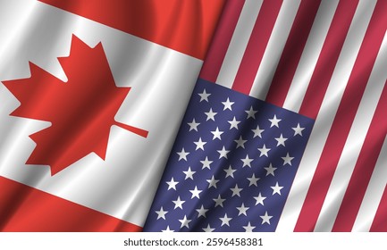
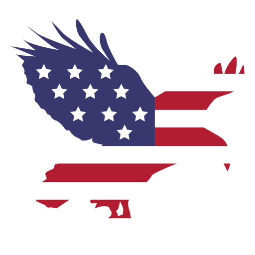
Bandeira dos EUA hasteada com águia plana Desenho PNG
Escolha uma pasta
Todos os favoritos
Criar novo
Salvar
Bandeira dos EUA hasteada com águia plana Desenho PNG
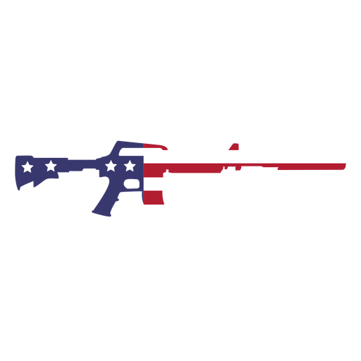
Bandeira dos EUA na arma plana Desenho PNG
Escolha uma pasta
Todos os favoritos
Criar novo
Salvar
Bandeira dos EUA na arma plana Desenho PNG
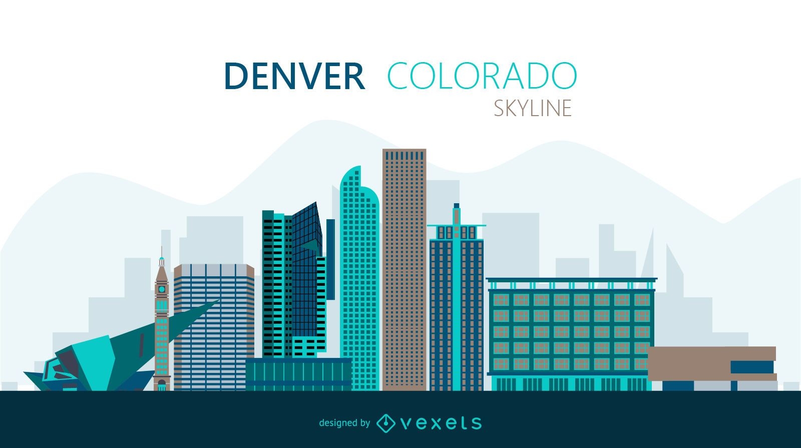
Ilustração do horizonte de Denver
Escolha uma pasta
Todos os favoritos
Criar novo
Salvar
Ilustração do horizonte de Denver
Premium
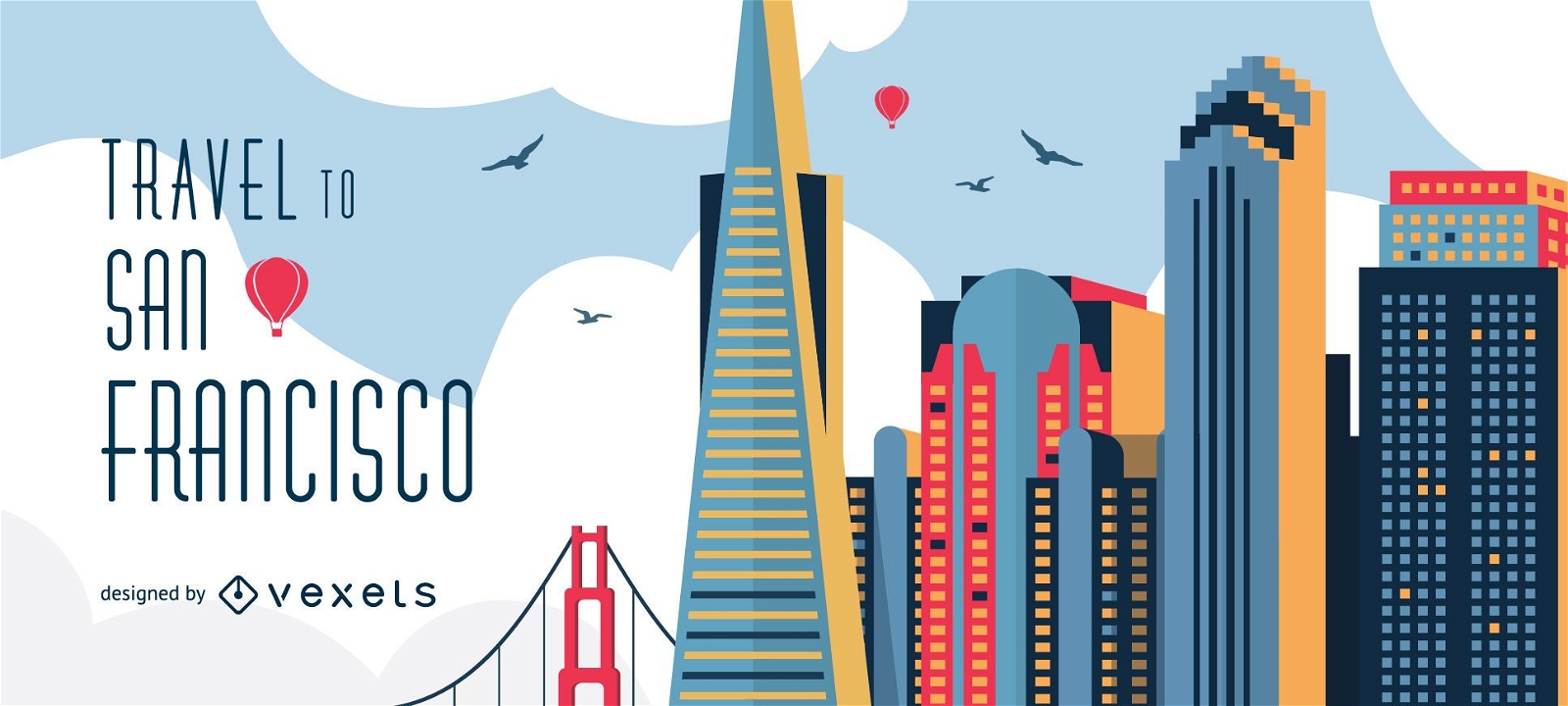
Viagem ao horizonte de São Francisco
Escolha uma pasta
Todos os favoritos
Criar novo
Salvar
Viagem ao horizonte de São Francisco
Premium
Philadelphia Skyline Silhouette Desenho PNG
Escolha uma pasta
Todos os favoritos
Criar novo
Salvar
Philadelphia Skyline Silhouette Desenho PNG
Deleites de comida retrô de biscoitos Desenho PNG
Escolha uma pasta
Todos os favoritos
Criar novo
Salvar
Deleites de comida retrô de biscoitos Desenho PNG
Pronto para imprimir
para Merch
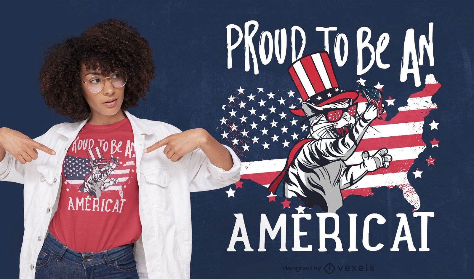
Design de camiseta com citação de gato americano
Escolha uma pasta
Todos os favoritos
Criar novo
Salvar
Design de camiseta com citação de gato americano
Pronto para imprimir
para Merch
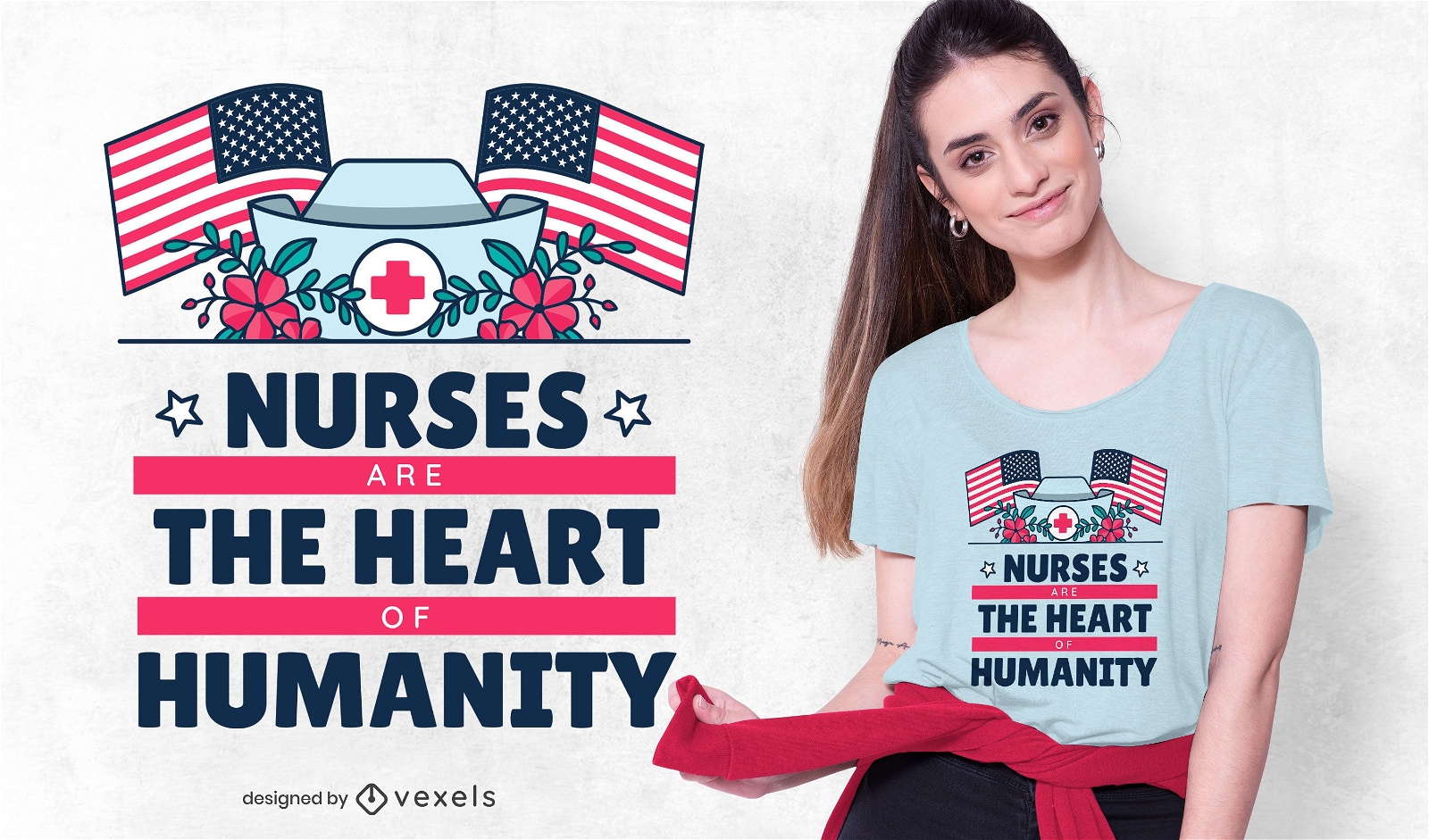
Design de camisetas para enfermeiras
Escolha uma pasta
Todos os favoritos
Criar novo
Salvar
Design de camisetas para enfermeiras
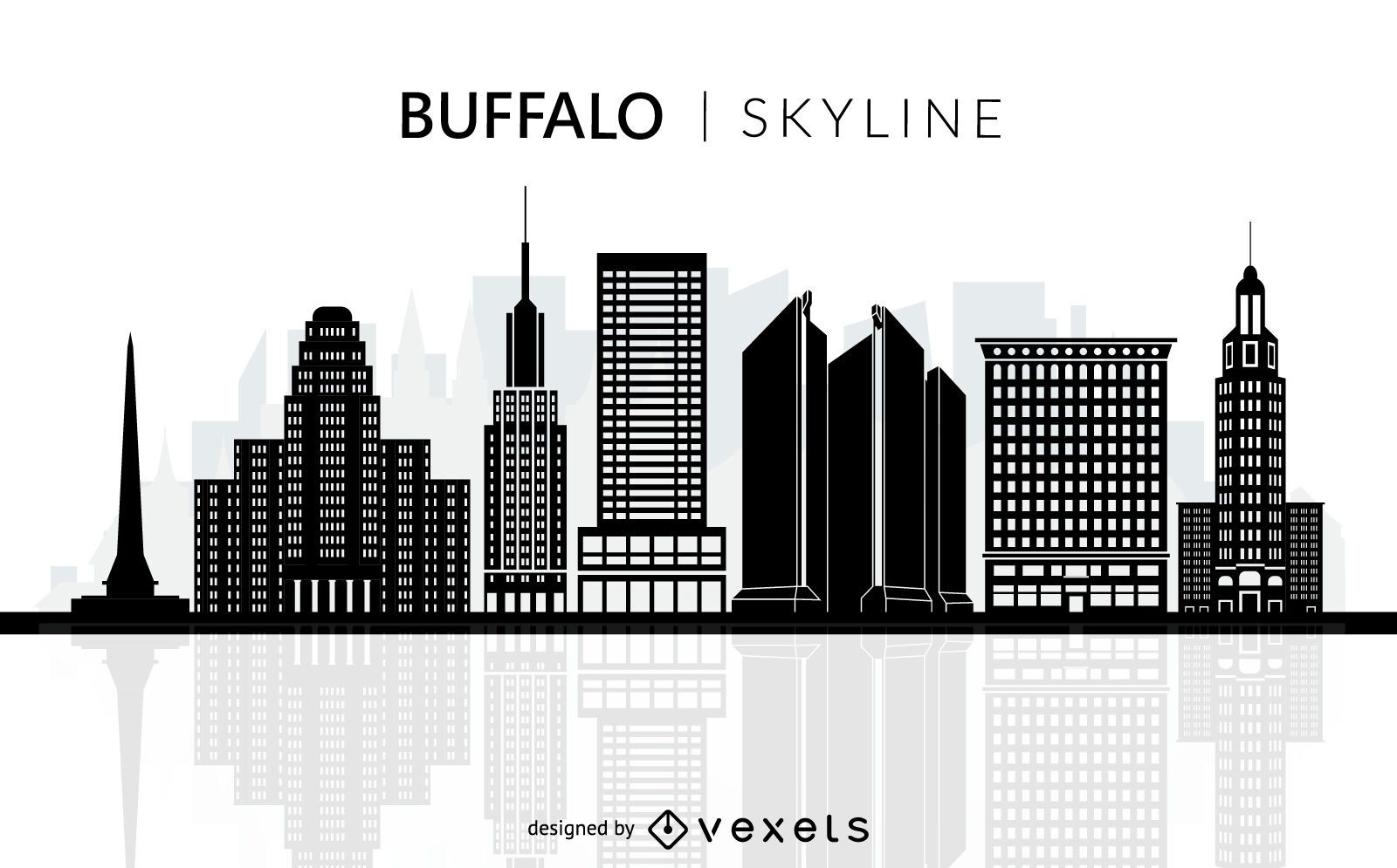
Silhueta do horizonte de Buffalo
Escolha uma pasta
Todos os favoritos
Criar novo
Salvar
Silhueta do horizonte de Buffalo
Premium
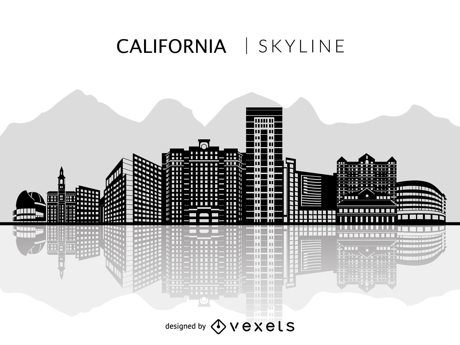
Silhueta do horizonte de San Jose na Califórnia
Escolha uma pasta
Todos os favoritos
Criar novo
Salvar
Silhueta do horizonte de San Jose na Califórnia
Premium
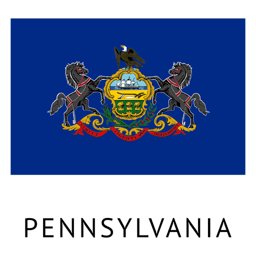
Bandeira do estado da pensilvânia Desenho PNG
Escolha uma pasta
Todos os favoritos
Criar novo
Salvar
Bandeira do estado da pensilvânia Desenho PNG
Premium
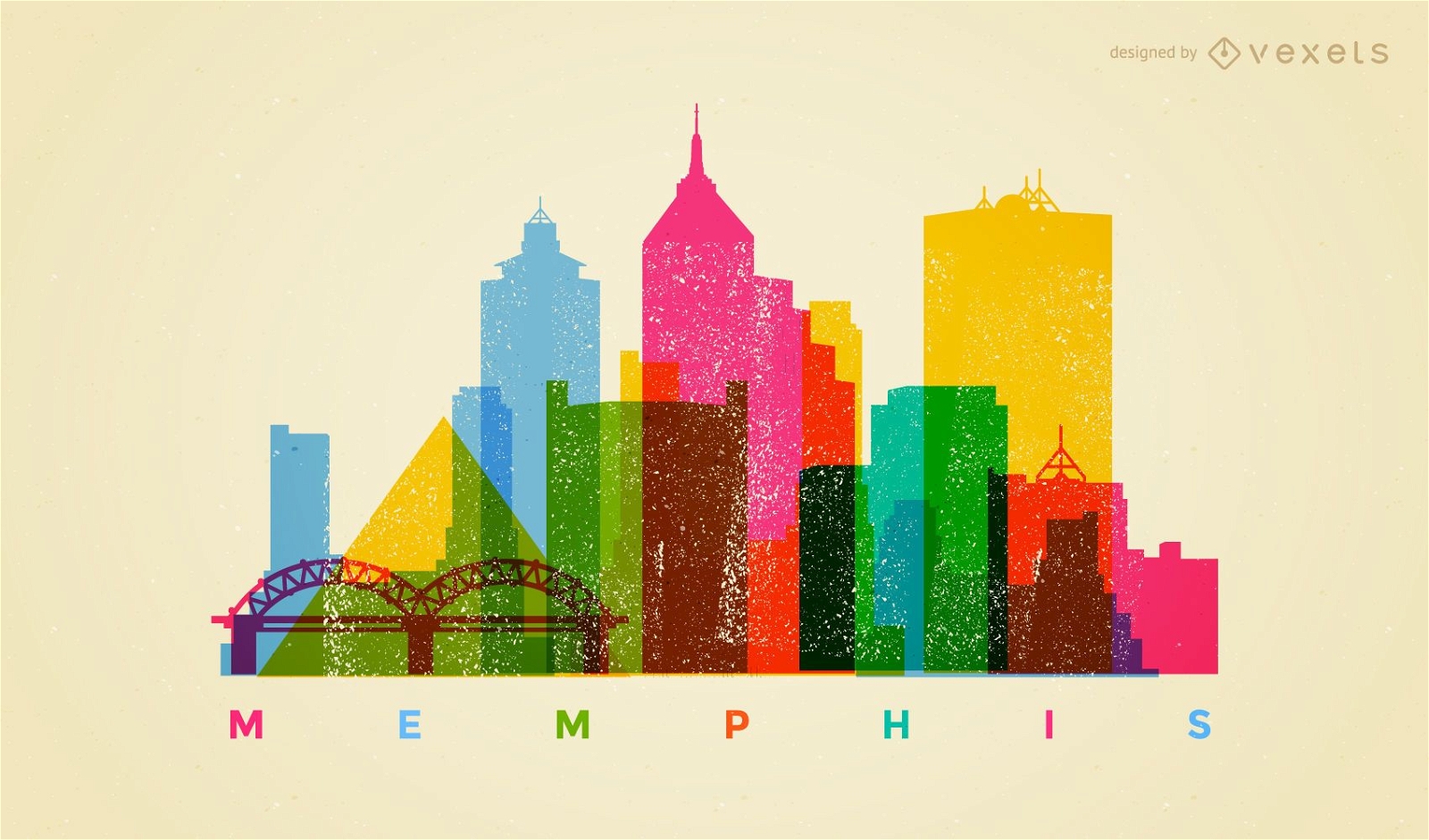
Horizonte colorido de Memphis
Escolha uma pasta
Todos os favoritos
Criar novo
Salvar
Horizonte colorido de Memphis
Premium
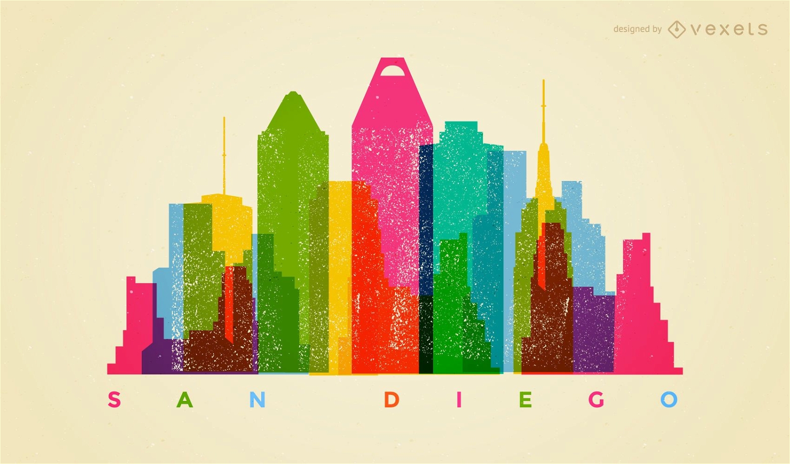
Horizonte colorido de San Diego
Escolha uma pasta
Todos os favoritos
Criar novo
Salvar
Horizonte colorido de San Diego
Premium
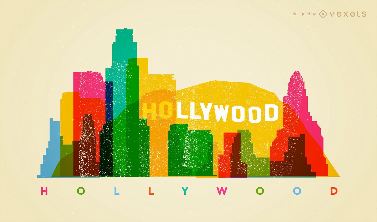
Horizonte colorido de Hollywood
Escolha uma pasta
Todos os favoritos
Criar novo
Salvar
Horizonte colorido de Hollywood
Estátua da liberdade com bandeira dos EUA Desenho PNG
Escolha uma pasta
Todos os favoritos
Criar novo
Salvar
Estátua da liberdade com bandeira dos EUA Desenho PNG
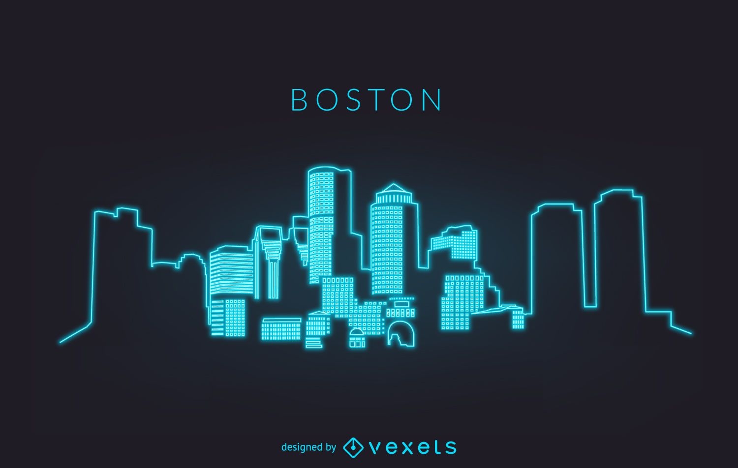
Silhueta de néon do horizonte de Boston
Escolha uma pasta
Todos os favoritos
Criar novo
Salvar
Silhueta de néon do horizonte de Boston
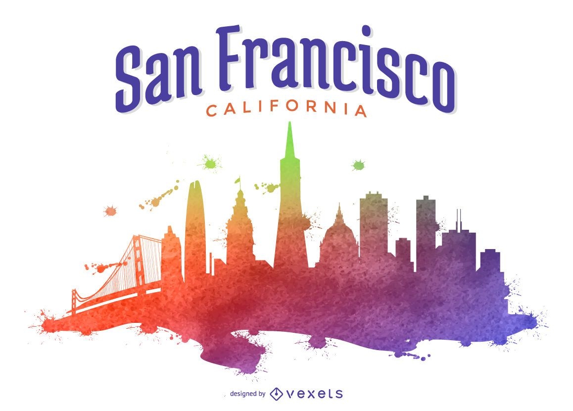
Ilustração colorida do horizonte de São Francisco
Escolha uma pasta
Todos os favoritos
Criar novo
Salvar
Ilustração colorida do horizonte de São Francisco
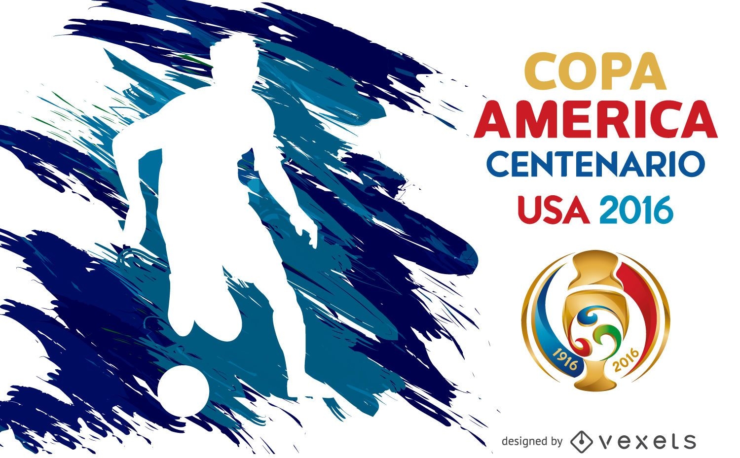
Pôster silhueta da Copa América
Escolha uma pasta
Todos os favoritos
Criar novo
Salvar
Pôster silhueta da Copa América
Impulsione seu negócio
Com a plataforma gráfica líder de mercado.
Ver planos
Próxima
do 49
prev page
next page