Biblioteca de design
Novos designs Merch
Camisetas
Vectores
Designs de Merch de Tendência
PNGs & SVGs
Mockups
Modelos de T-Shirt PSD
Explorar Desenhos
Designs KDP
Pôsteres
Canecas
Capas para celular
Sacos de compras
Almofadas
Ferramentas de desenho
Merch Designer
Novo!
Mockup Generator
Gerador de Design de AI
Vetorizador
Quote Generator
T-Shirt Maker (Antigo)
Ajuda
Merch Digest
Blog
Centro de Ajuda
Saiba mais sobre o Merch
Feedback
Soluções Corporativas
Empresa
Acesso à API
Estúdio de Design
Design em Lote
Preços
Carregando...
Inscrever-se
Conecte-se
All
territory
Biblioteca de design
Novos designs Merch
Camisetas
Vectores
Designs de Merch de Tendência
PNGs & SVGs
Mockups
Modelos de T-Shirt PSD
Explorar Desenhos
Designs KDP
Pôsteres
Canecas
Capas para celular
Sacos de compras
Almofadas
Ferramentas de desenho
Merch Designer
Novo!
Mockup Generator
Gerador de Design de AI
Vetorizador
Quote Generator
T-Shirt Maker (Antigo)
Ajuda
Merch Digest
Blog
Centro de Ajuda
Saiba mais sobre o Merch
Feedback
Soluções Corporativas
Empresa
Acesso à API
Estúdio de Design
Design em Lote
PLANOS
All
territory
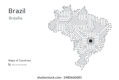
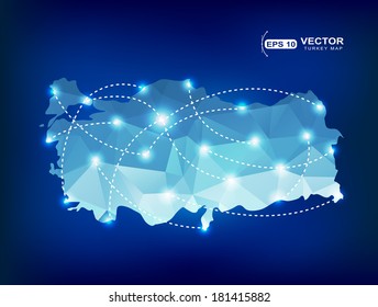
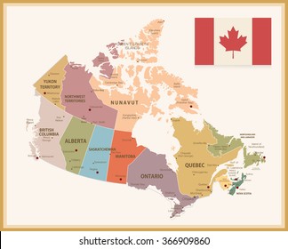
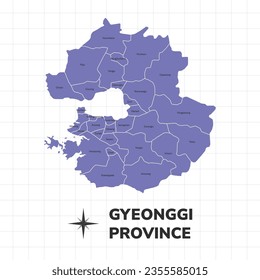
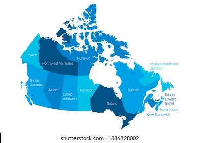
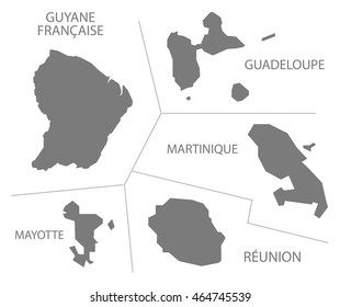
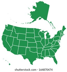
391 Gráficos e Designs de territory para Camisetas e Merch print on demand
Baixar designs de camisetas e para merch, como capas de livro, capas de celular, tote bags e mais de territory
Relacionado:
territorio
,
territorio francês
,
territorio turco
Ordenar por
Mais relevante
Resultados patrocinados da
Ganhe 15% de desconto com o código: VEXELS15
veja mais detalhes
Premium
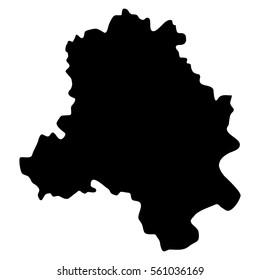
Mapa da província da Holanda do Sul Desenho PNG
Escolha uma pasta
Todos os favoritos
Criar novo
Salvar
Mapa da província da Holanda do Sul Desenho PNG
Premium
Mapa da província de Utrecht Desenho PNG
Escolha uma pasta
Todos os favoritos
Criar novo
Salvar
Mapa da província de Utrecht Desenho PNG
Premium
Mapa de condado de Vestfold Desenho PNG
Escolha uma pasta
Todos os favoritos
Criar novo
Salvar
Mapa de condado de Vestfold Desenho PNG
Premium
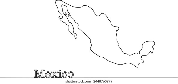
Silhueta do desenho do mapa da França Desenho PNG
Escolha uma pasta
Todos os favoritos
Criar novo
Salvar
Silhueta do desenho do mapa da França Desenho PNG
Premium
Esboço elegante do design do mapa de Taiwan Desenho PNG
Escolha uma pasta
Todos os favoritos
Criar novo
Salvar
Esboço elegante do design do mapa de Taiwan Desenho PNG
Premium
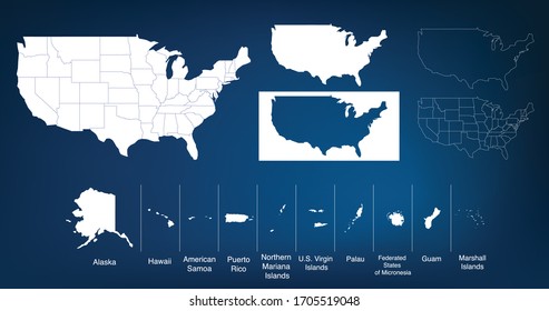
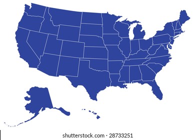
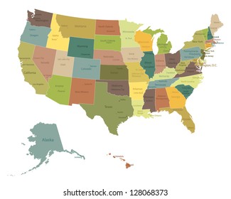
Conjunto de emblemas de letras dos estados dos EUA
Escolha uma pasta
Todos os favoritos
Criar novo
Salvar
Conjunto de emblemas de letras dos estados dos EUA
Premium
Mapa da província de Java Central Desenho PNG
Escolha uma pasta
Todos os favoritos
Criar novo
Salvar
Mapa da província de Java Central Desenho PNG
Premium
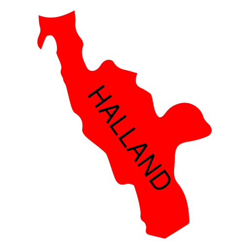
Mapa de condado de Halland Desenho PNG
Escolha uma pasta
Todos os favoritos
Criar novo
Salvar
Mapa de condado de Halland Desenho PNG
Premium
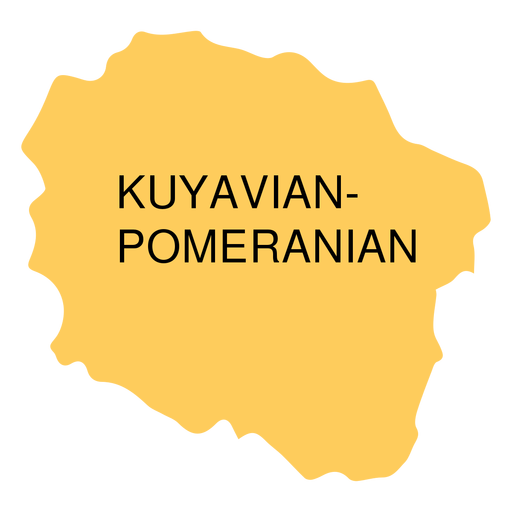
Mapa da voivodia da Pomerânia Kuyaviana Desenho PNG
Escolha uma pasta
Todos os favoritos
Criar novo
Salvar
Mapa da voivodia da Pomerânia Kuyaviana Desenho PNG
Premium
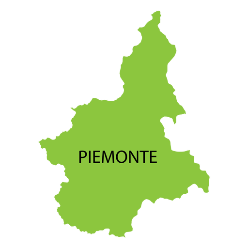
Mapa da região de Piemonte Desenho PNG
Escolha uma pasta
Todos os favoritos
Criar novo
Salvar
Mapa da região de Piemonte Desenho PNG
Premium
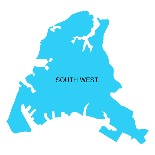
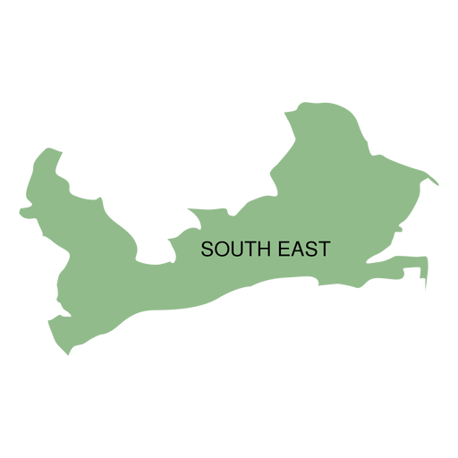
Mapa do distrito sudoeste Desenho PNG
Escolha uma pasta
Todos os favoritos
Criar novo
Salvar
Mapa do distrito sudoeste Desenho PNG
Premium
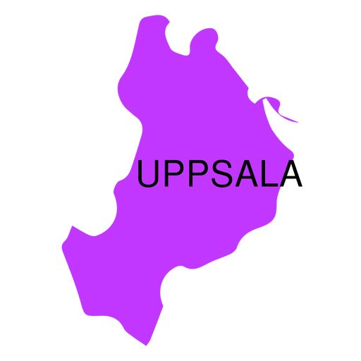
Mapa de condado de Uppsala Desenho PNG
Escolha uma pasta
Todos os favoritos
Criar novo
Salvar
Mapa de condado de Uppsala Desenho PNG
Premium
Mapa de condado de Akershus Desenho PNG
Escolha uma pasta
Todos os favoritos
Criar novo
Salvar
Mapa de condado de Akershus Desenho PNG
Premium
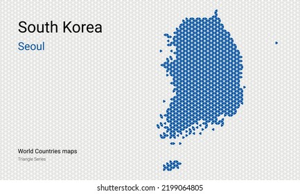
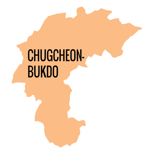
Mapa da província de Chungcheongbuk do Desenho PNG
Escolha uma pasta
Todos os favoritos
Criar novo
Salvar
Mapa da província de Chungcheongbuk do Desenho PNG
Premium
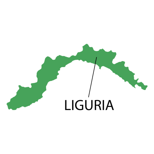
Mapa da região da Ligúria Desenho PNG
Escolha uma pasta
Todos os favoritos
Criar novo
Salvar
Mapa da região da Ligúria Desenho PNG
Premium
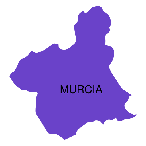
Mapa da comunidade autônoma de Murcia Desenho PNG
Escolha uma pasta
Todos os favoritos
Criar novo
Salvar
Mapa da comunidade autônoma de Murcia Desenho PNG
Premium
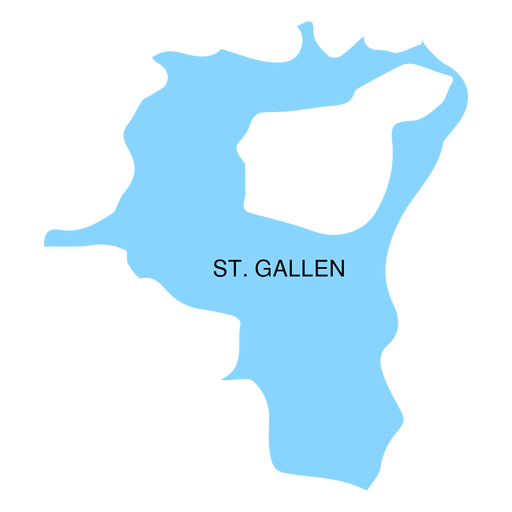
Mapa do cantão de St gallen Desenho PNG
Escolha uma pasta
Todos os favoritos
Criar novo
Salvar
Mapa do cantão de St gallen Desenho PNG
Premium
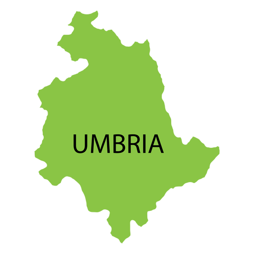
Mapa da região da Úmbria Desenho PNG
Escolha uma pasta
Todos os favoritos
Criar novo
Salvar
Mapa da região da Úmbria Desenho PNG
Premium
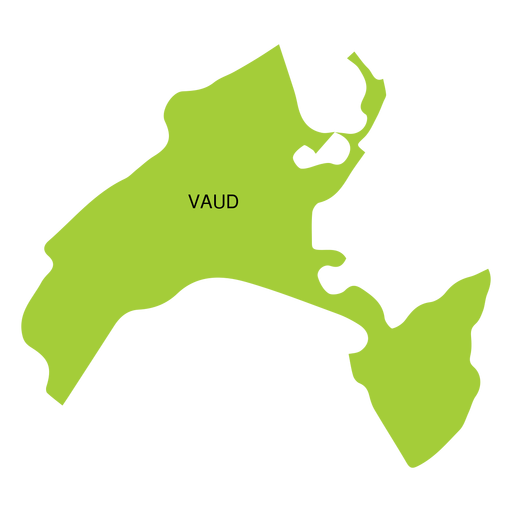
Mapa do cantão de Vaud Desenho PNG
Escolha uma pasta
Todos os favoritos
Criar novo
Salvar
Mapa do cantão de Vaud Desenho PNG
Premium
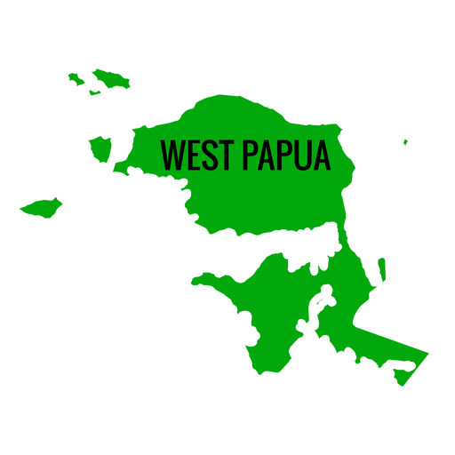
Mapa da província de Papua Ocidental Desenho PNG
Escolha uma pasta
Todos os favoritos
Criar novo
Salvar
Mapa da província de Papua Ocidental Desenho PNG
Premium
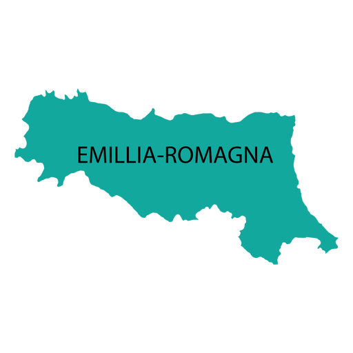
Mapa da região de Emilia Romagna Desenho PNG
Escolha uma pasta
Todos os favoritos
Criar novo
Salvar
Mapa da região de Emilia Romagna Desenho PNG
Premium
Mapa da província autônoma de Jeju Desenho PNG
Escolha uma pasta
Todos os favoritos
Criar novo
Salvar
Mapa da província autônoma de Jeju Desenho PNG
Premium
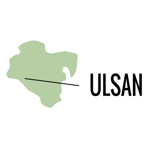
Mapa da cidade metropolitana de Ulsan Desenho PNG
Escolha uma pasta
Todos os favoritos
Criar novo
Salvar
Mapa da cidade metropolitana de Ulsan Desenho PNG
Premium
Mapa da cidade metropolitana de Daejeon Desenho PNG
Escolha uma pasta
Todos os favoritos
Criar novo
Salvar
Mapa da cidade metropolitana de Daejeon Desenho PNG
Premium
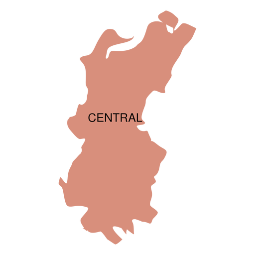
Mapa do distrito central Desenho PNG
Escolha uma pasta
Todos os favoritos
Criar novo
Salvar
Mapa do distrito central Desenho PNG
Premium
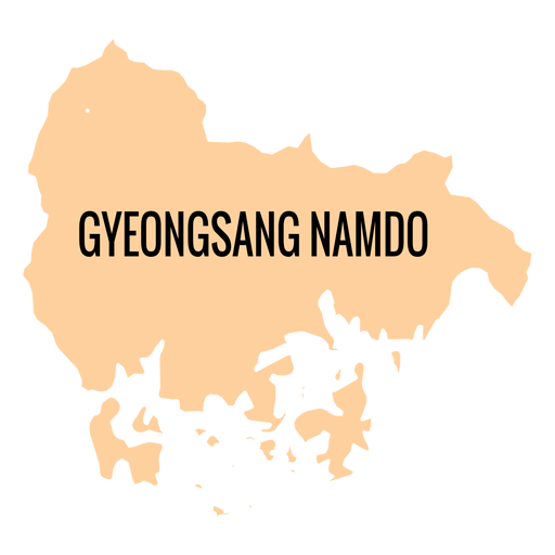
Mapa da província de Gyeongsangnam do Desenho PNG
Escolha uma pasta
Todos os favoritos
Criar novo
Salvar
Mapa da província de Gyeongsangnam do Desenho PNG
Premium
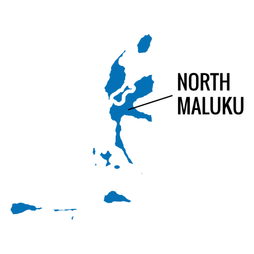
Mapa da província de North Maluku Desenho PNG
Escolha uma pasta
Todos os favoritos
Criar novo
Salvar
Mapa da província de North Maluku Desenho PNG
Premium
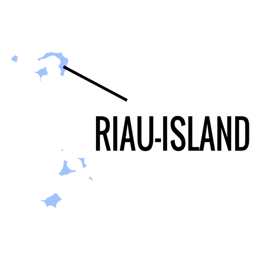
Mapa da província das ilhas Riau Desenho PNG
Escolha uma pasta
Todos os favoritos
Criar novo
Salvar
Mapa da província das ilhas Riau Desenho PNG
Premium
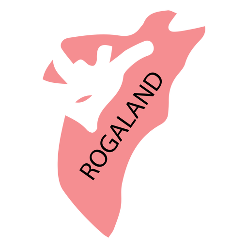
Mapa do condado de Rogaland Desenho PNG
Escolha uma pasta
Todos os favoritos
Criar novo
Salvar
Mapa do condado de Rogaland Desenho PNG
Premium
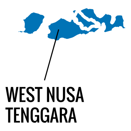
Mapa da província de West Nusa Tenggara Desenho PNG
Escolha uma pasta
Todos os favoritos
Criar novo
Salvar
Mapa da província de West Nusa Tenggara Desenho PNG
Premium
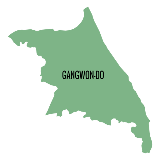
Mapa da província de Gangwon do Desenho PNG
Escolha uma pasta
Todos os favoritos
Criar novo
Salvar
Mapa da província de Gangwon do Desenho PNG
Premium
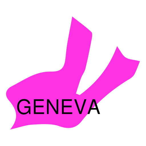
Mapa do cantão de Genebra Desenho PNG
Escolha uma pasta
Todos os favoritos
Criar novo
Salvar
Mapa do cantão de Genebra Desenho PNG
Premium
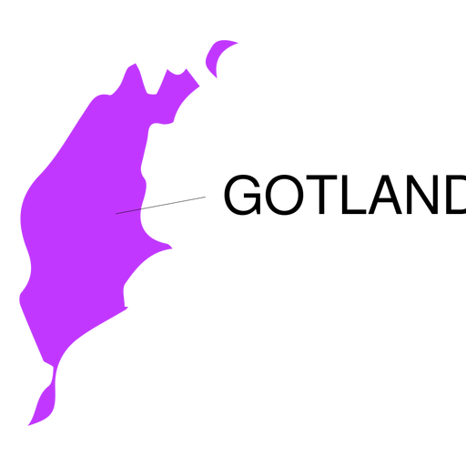
Mapa de condado de Gotland Desenho PNG
Escolha uma pasta
Todos os favoritos
Criar novo
Salvar
Mapa de condado de Gotland Desenho PNG
Premium
Mapa de condado de Hordaland Desenho PNG
Escolha uma pasta
Todos os favoritos
Criar novo
Salvar
Mapa de condado de Hordaland Desenho PNG
Premium
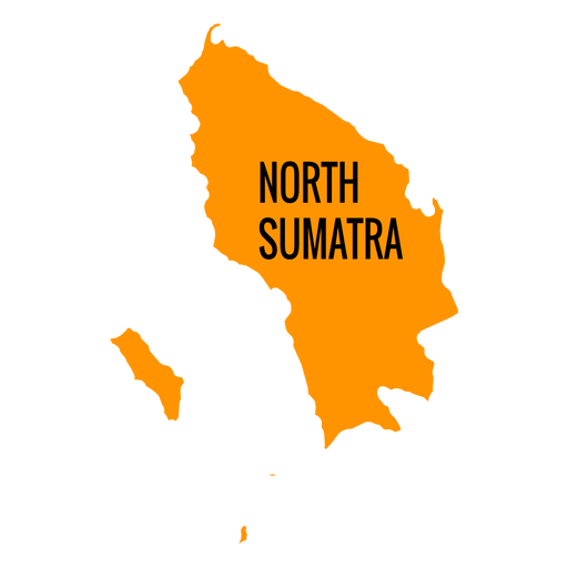
Mapa da província de Sumatra do Norte Desenho PNG
Escolha uma pasta
Todos os favoritos
Criar novo
Salvar
Mapa da província de Sumatra do Norte Desenho PNG
Premium
Mapa do distrito sudeste Desenho PNG
Escolha uma pasta
Todos os favoritos
Criar novo
Salvar
Mapa do distrito sudeste Desenho PNG
Premium
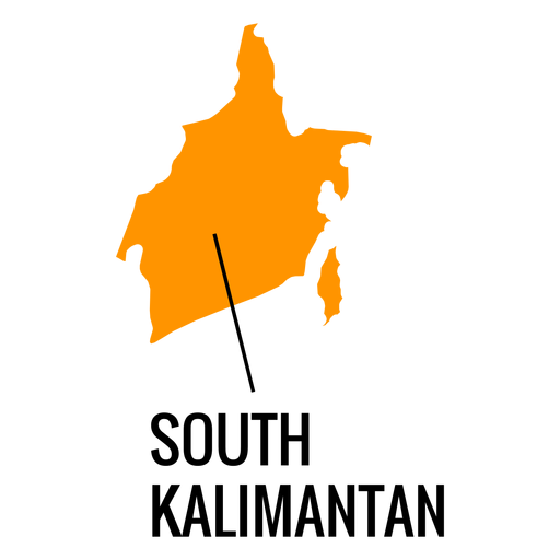
Mapa da província de Kalimantan do Sul Desenho PNG
Escolha uma pasta
Todos os favoritos
Criar novo
Salvar
Mapa da província de Kalimantan do Sul Desenho PNG
Premium
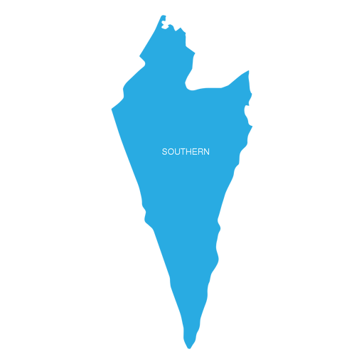
Mapa do distrito do sul de israel Desenho PNG
Escolha uma pasta
Todos os favoritos
Criar novo
Salvar
Mapa do distrito do sul de israel Desenho PNG
Premium
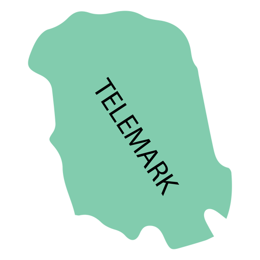
Mapa de condado de Telemark Desenho PNG
Escolha uma pasta
Todos os favoritos
Criar novo
Salvar
Mapa de condado de Telemark Desenho PNG
Premium
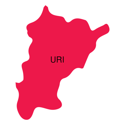
Mapa do cantão de Uri Desenho PNG
Escolha uma pasta
Todos os favoritos
Criar novo
Salvar
Mapa do cantão de Uri Desenho PNG
Premium
Mapa da província de Zeeland Desenho PNG
Escolha uma pasta
Todos os favoritos
Criar novo
Salvar
Mapa da província de Zeeland Desenho PNG
Premium
Projeto de esboço plano de medição de papel edifício construção casa plana Desenho PNG
Escolha uma pasta
Todos os favoritos
Criar novo
Salvar
Projeto de esboço plano de medição de papel edifício construção casa plana Desenho PNG
Premium
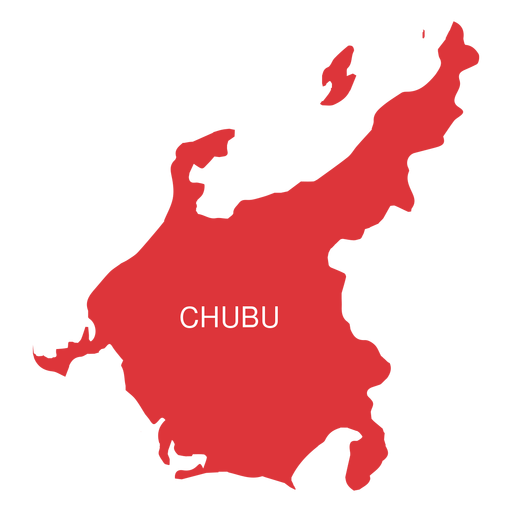
Mapa da região de Chubu Desenho PNG
Escolha uma pasta
Todos os favoritos
Criar novo
Salvar
Mapa da região de Chubu Desenho PNG
Premium
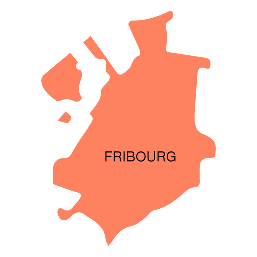
Mapa do cantão de Friburgo Desenho PNG
Escolha uma pasta
Todos os favoritos
Criar novo
Salvar
Mapa do cantão de Friburgo Desenho PNG
Premium
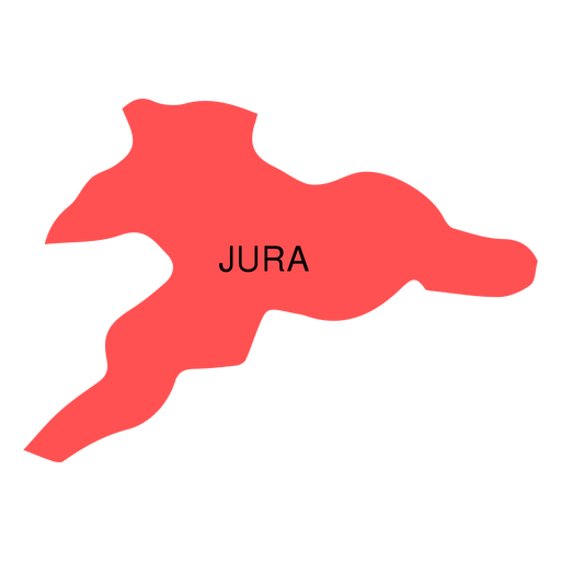
Mapa do cantão de Jura Desenho PNG
Escolha uma pasta
Todos os favoritos
Criar novo
Salvar
Mapa do cantão de Jura Desenho PNG
Premium
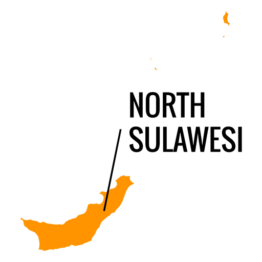
Mapa da província de Sulawesi do Norte Desenho PNG
Escolha uma pasta
Todos os favoritos
Criar novo
Salvar
Mapa da província de Sulawesi do Norte Desenho PNG
Premium
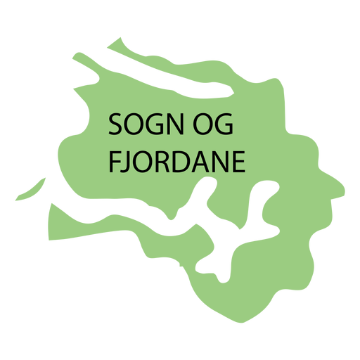
Mapa de condado de Sogn og fjordane Desenho PNG
Escolha uma pasta
Todos os favoritos
Criar novo
Salvar
Mapa de condado de Sogn og fjordane Desenho PNG
Premium
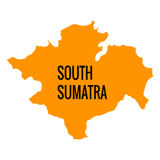
Mapa da província de sumatra do sul Desenho PNG
Escolha uma pasta
Todos os favoritos
Criar novo
Salvar
Mapa da província de sumatra do sul Desenho PNG
Premium
Mapa de condado de Vastmanland Desenho PNG
Escolha uma pasta
Todos os favoritos
Criar novo
Salvar
Mapa de condado de Vastmanland Desenho PNG
Premium
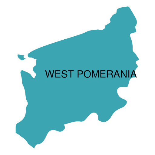
Mapa da voivodia de West pomerania Desenho PNG
Escolha uma pasta
Todos os favoritos
Criar novo
Salvar
Mapa da voivodia de West pomerania Desenho PNG
Impulsione seu negócio
Com a plataforma gráfica líder de mercado.
Ver planos
Próxima
do 8
prev page
next page