Biblioteca de design
Novos designs Merch
Camisetas
Vectores
Designs de Merch de Tendência
PNGs & SVGs
Mockups
Modelos de T-Shirt PSD
Explorar Desenhos
Designs KDP
Pôsteres
Canecas
Capas para celular
Sacos de compras
Almofadas
Ferramentas de desenho
Merch Designer
Novo!
Mockup Generator
Gerador de Design de AI
Vetorizador
Quote Generator
T-Shirt Maker (Antigo)
Ajuda
Merch Digest
Blog
Centro de Ajuda
Saiba mais sobre o Merch
Feedback
Soluções Corporativas
Empresa
Acesso à API
Estúdio de Design
Design em Lote
Preços
Carregando...
Inscrever-se
Conecte-se
All
territory
Biblioteca de design
Novos designs Merch
Camisetas
Vectores
Designs de Merch de Tendência
PNGs & SVGs
Mockups
Modelos de T-Shirt PSD
Explorar Desenhos
Designs KDP
Pôsteres
Canecas
Capas para celular
Sacos de compras
Almofadas
Ferramentas de desenho
Merch Designer
Novo!
Mockup Generator
Gerador de Design de AI
Vetorizador
Quote Generator
T-Shirt Maker (Antigo)
Ajuda
Merch Digest
Blog
Centro de Ajuda
Saiba mais sobre o Merch
Feedback
Soluções Corporativas
Empresa
Acesso à API
Estúdio de Design
Design em Lote
PLANOS
All
territory
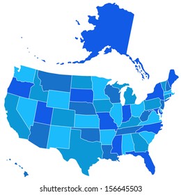
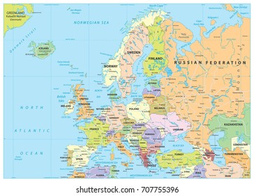
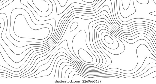
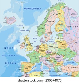
391 Gráficos e Designs de territory para Camisetas e Merch print on demand
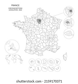
Baixar designs de camisetas e para merch, como capas de livro, capas de celular, tote bags e mais de territory
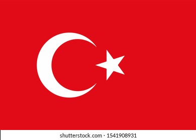
Relacionado:
territorio
,
territorio francês
,
territorio turco
Ordenar por
Mais relevante
Resultados patrocinados da
Ganhe 15% de desconto com o código: VEXELS15
veja mais detalhes
Premium
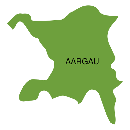
Mapa do cantão de Aargau Desenho PNG
Escolha uma pasta
Todos os favoritos
Criar novo
Salvar
Mapa do cantão de Aargau Desenho PNG
Premium
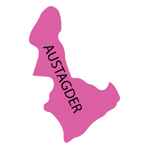
Mapa do condado de Aust agder Desenho PNG
Escolha uma pasta
Todos os favoritos
Criar novo
Salvar
Mapa do condado de Aust agder Desenho PNG
Premium
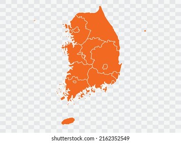
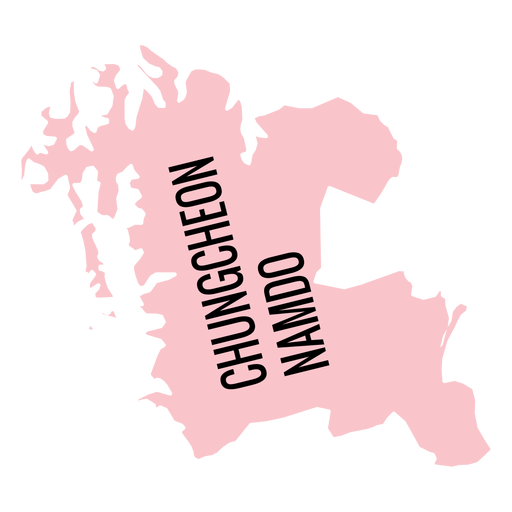
Mapa da província de Chungcheongnam do Desenho PNG
Escolha uma pasta
Todos os favoritos
Criar novo
Salvar
Mapa da província de Chungcheongnam do Desenho PNG
Premium
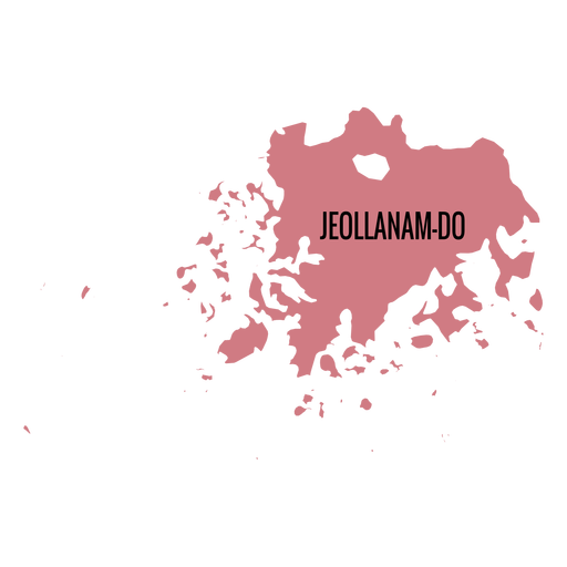
Mapa de Jeollanam do provincia Desenho PNG
Escolha uma pasta
Todos os favoritos
Criar novo
Salvar
Mapa de Jeollanam do provincia Desenho PNG
Premium
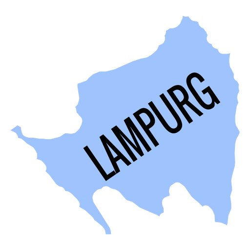
Mapa da província de Lampurg Desenho PNG
Escolha uma pasta
Todos os favoritos
Criar novo
Salvar
Mapa da província de Lampurg Desenho PNG
Premium
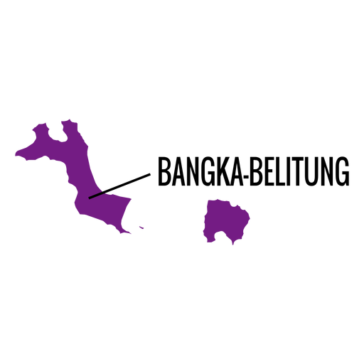
Mapa da província de Bangka belitung Desenho PNG
Escolha uma pasta
Todos os favoritos
Criar novo
Salvar
Mapa da província de Bangka belitung Desenho PNG
Premium
Mapa do cantão de Landchaft de Basel Desenho PNG
Escolha uma pasta
Todos os favoritos
Criar novo
Salvar
Mapa do cantão de Landchaft de Basel Desenho PNG
Premium
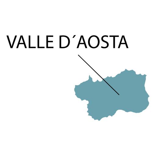
Mapa da região do vale de Aosta Desenho PNG
Escolha uma pasta
Todos os favoritos
Criar novo
Salvar
Mapa da região do vale de Aosta Desenho PNG
Premium
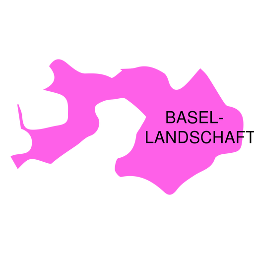
Mapa do distrito de Basel Desenho PNG
Escolha uma pasta
Todos os favoritos
Criar novo
Salvar
Mapa do distrito de Basel Desenho PNG
Premium
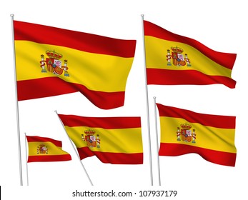
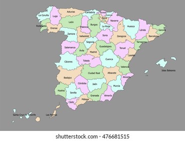
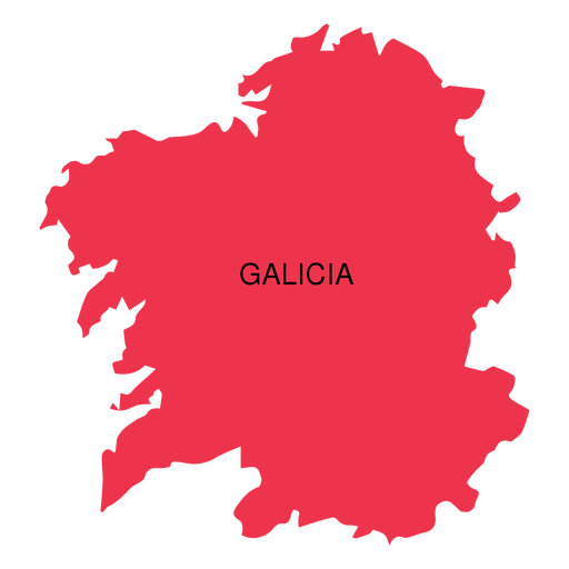
Mapa da comunidade autônoma da Galiza Desenho PNG
Escolha uma pasta
Todos os favoritos
Criar novo
Salvar
Mapa da comunidade autônoma da Galiza Desenho PNG
Premium
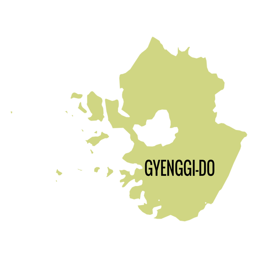
Mapa da província de Gyeonggi do Desenho PNG
Escolha uma pasta
Todos os favoritos
Criar novo
Salvar
Mapa da província de Gyeonggi do Desenho PNG
Premium
Mapa do distrito de Haifa Desenho PNG
Escolha uma pasta
Todos os favoritos
Criar novo
Salvar
Mapa do distrito de Haifa Desenho PNG
Premium
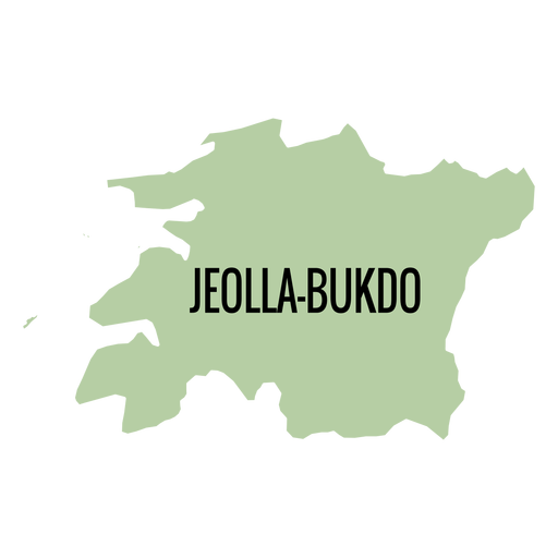
Mapa de Jeollabuk do provincia Desenho PNG
Escolha uma pasta
Todos os favoritos
Criar novo
Salvar
Mapa de Jeollabuk do provincia Desenho PNG
Premium
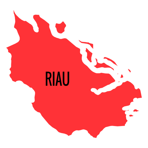
Mapa da província de Riau Desenho PNG
Escolha uma pasta
Todos os favoritos
Criar novo
Salvar
Mapa da província de Riau Desenho PNG
Premium
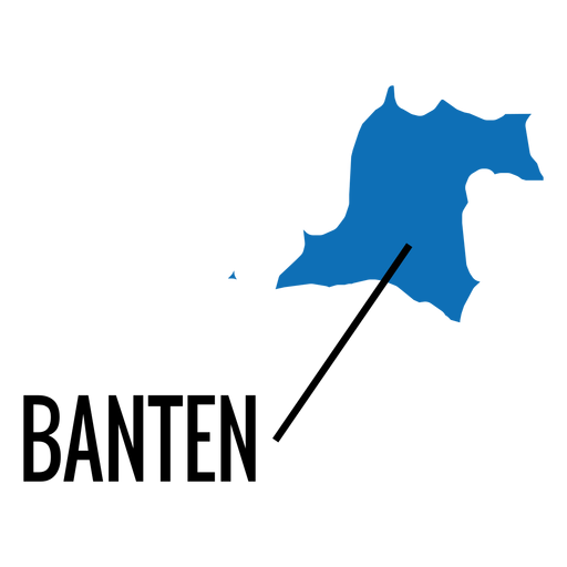
Mapa da província de Banten Desenho PNG
Escolha uma pasta
Todos os favoritos
Criar novo
Salvar
Mapa da província de Banten Desenho PNG
Premium
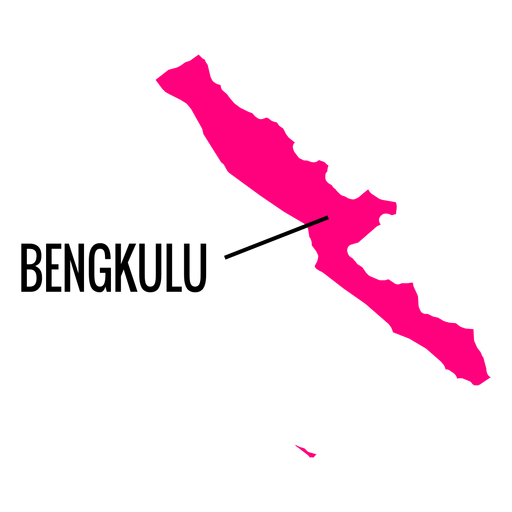
Mapa da província de Bengkulu Desenho PNG
Escolha uma pasta
Todos os favoritos
Criar novo
Salvar
Mapa da província de Bengkulu Desenho PNG
Premium
Mapa do distrito do norte de israel Desenho PNG
Escolha uma pasta
Todos os favoritos
Criar novo
Salvar
Mapa do distrito do norte de israel Desenho PNG
Premium
Mapa do condado de Ostfold Desenho PNG
Escolha uma pasta
Todos os favoritos
Criar novo
Salvar
Mapa do condado de Ostfold Desenho PNG
Premium
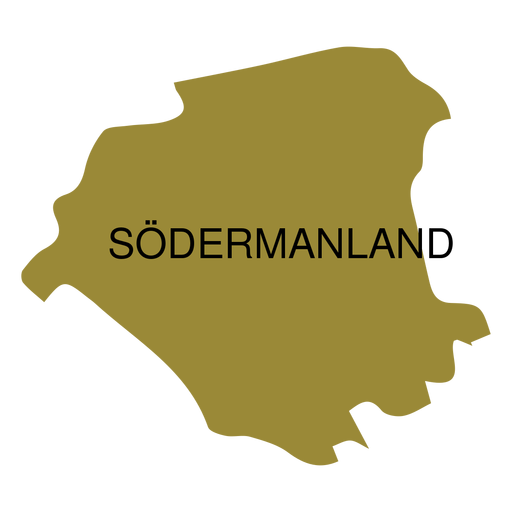
Mapa de condado de Sodermanland Desenho PNG
Escolha uma pasta
Todos os favoritos
Criar novo
Salvar
Mapa de condado de Sodermanland Desenho PNG
Premium
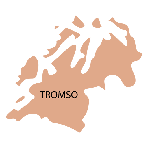
Mapa de condado de Troms Desenho PNG
Escolha uma pasta
Todos os favoritos
Criar novo
Salvar
Mapa de condado de Troms Desenho PNG
Premium
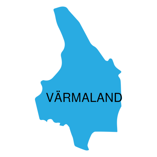
Mapa de condado de Varmland Desenho PNG
Escolha uma pasta
Todos os favoritos
Criar novo
Salvar
Mapa de condado de Varmland Desenho PNG
Premium
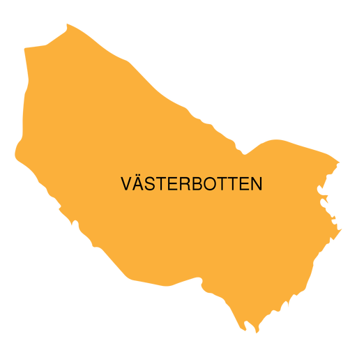
Mapa do condado de Vasterbotten Desenho PNG
Escolha uma pasta
Todos os favoritos
Criar novo
Salvar
Mapa do condado de Vasterbotten Desenho PNG
Premium
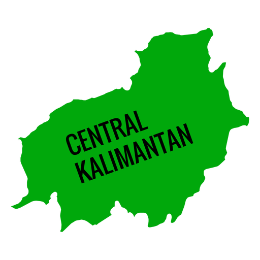
Mapa da província central de Kalimantan Desenho PNG
Escolha uma pasta
Todos os favoritos
Criar novo
Salvar
Mapa da província central de Kalimantan Desenho PNG
Premium
Mapa da cidade metropolitana de Daegu Desenho PNG
Escolha uma pasta
Todos os favoritos
Criar novo
Salvar
Mapa da cidade metropolitana de Daegu Desenho PNG
Premium
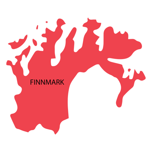
Mapa de condado de Finnmark Desenho PNG
Escolha uma pasta
Todos os favoritos
Criar novo
Salvar
Mapa de condado de Finnmark Desenho PNG
Premium
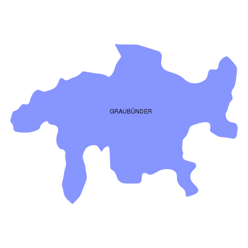
Mapa do cantão de Graubunder grisons Desenho PNG
Escolha uma pasta
Todos os favoritos
Criar novo
Salvar
Mapa do cantão de Graubunder grisons Desenho PNG
Premium
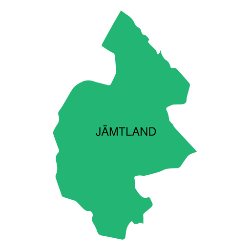
Mapa do condado de Jamtland Desenho PNG
Escolha uma pasta
Todos os favoritos
Criar novo
Salvar
Mapa do condado de Jamtland Desenho PNG
Premium
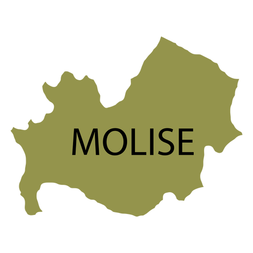
Mapa da região de Molise Desenho PNG
Escolha uma pasta
Todos os favoritos
Criar novo
Salvar
Mapa da região de Molise Desenho PNG
Premium
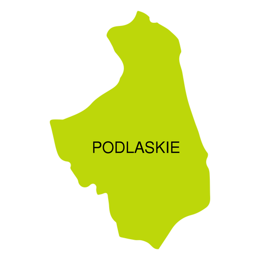
Mapa de voivodeship de Podlaskie Desenho PNG
Escolha uma pasta
Todos os favoritos
Criar novo
Salvar
Mapa de voivodeship de Podlaskie Desenho PNG
Premium
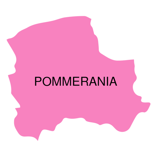
Mapa de voivodia de Pommerania Desenho PNG
Escolha uma pasta
Todos os favoritos
Criar novo
Salvar
Mapa de voivodia de Pommerania Desenho PNG
Premium
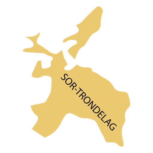
Sor trondelag mapa do condado Desenho PNG
Escolha uma pasta
Todos os favoritos
Criar novo
Salvar
Sor trondelag mapa do condado Desenho PNG
Premium
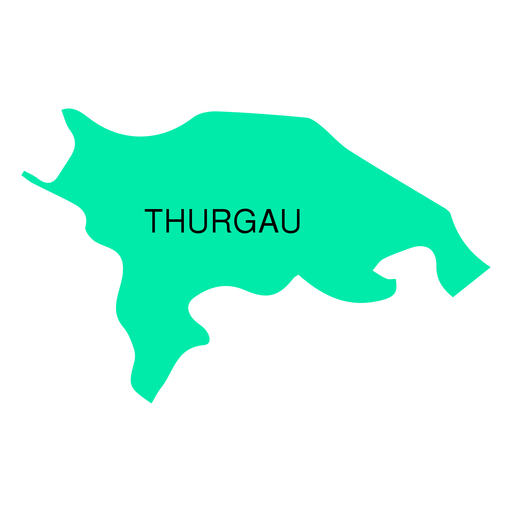
Mapa do cantão de Thurgau Desenho PNG
Escolha uma pasta
Todos os favoritos
Criar novo
Salvar
Mapa do cantão de Thurgau Desenho PNG
Premium
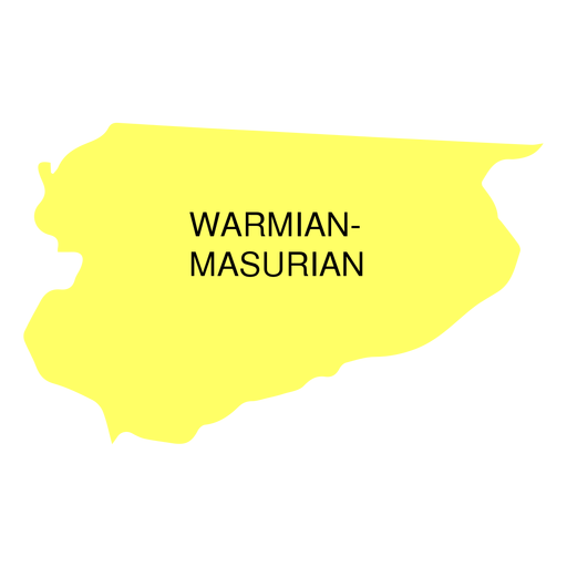
Mapa da voivodia da masúria da Vármia Desenho PNG
Escolha uma pasta
Todos os favoritos
Criar novo
Salvar
Mapa da voivodia da masúria da Vármia Desenho PNG
Premium
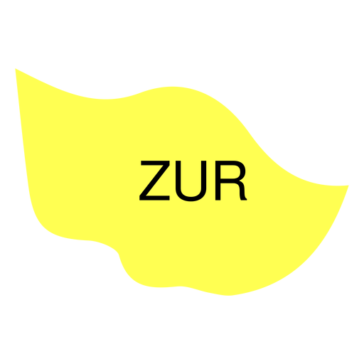
Mapa do cantão de Zug Desenho PNG
Escolha uma pasta
Todos os favoritos
Criar novo
Salvar
Mapa do cantão de Zug Desenho PNG
Premium
Mapa do cantão de Appenzell ausserrhoden Desenho PNG
Escolha uma pasta
Todos os favoritos
Criar novo
Salvar
Mapa do cantão de Appenzell ausserrhoden Desenho PNG
Premium
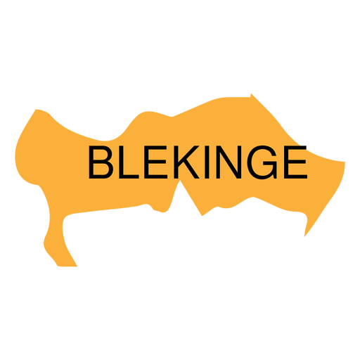
Mapa de Blekinge County Desenho PNG
Escolha uma pasta
Todos os favoritos
Criar novo
Salvar
Mapa de Blekinge County Desenho PNG
Premium
Mapa do distrito central de israel Desenho PNG
Escolha uma pasta
Todos os favoritos
Criar novo
Salvar
Mapa do distrito central de israel Desenho PNG
Premium
Mapa da província de Gorontalo Desenho PNG
Escolha uma pasta
Todos os favoritos
Criar novo
Salvar
Mapa da província de Gorontalo Desenho PNG
Premium
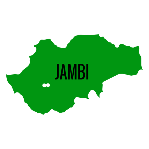
Mapa da província de Jambi Desenho PNG
Escolha uma pasta
Todos os favoritos
Criar novo
Salvar
Mapa da província de Jambi Desenho PNG
Premium
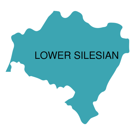
Mapa da voivodia da Baixa Silésia Desenho PNG
Escolha uma pasta
Todos os favoritos
Criar novo
Salvar
Mapa da voivodia da Baixa Silésia Desenho PNG
Premium
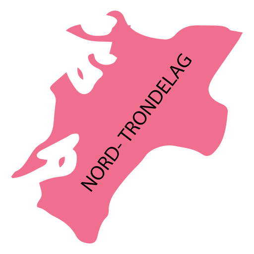
Mapa do condado de Nord trondelag Desenho PNG
Escolha uma pasta
Todos os favoritos
Criar novo
Salvar
Mapa do condado de Nord trondelag Desenho PNG
Premium
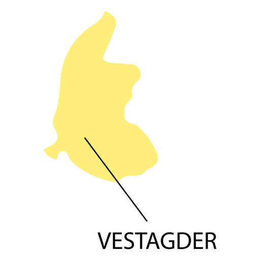
Vest agder county map Desenho PNG
Escolha uma pasta
Todos os favoritos
Criar novo
Salvar
Vest agder county map Desenho PNG
Premium
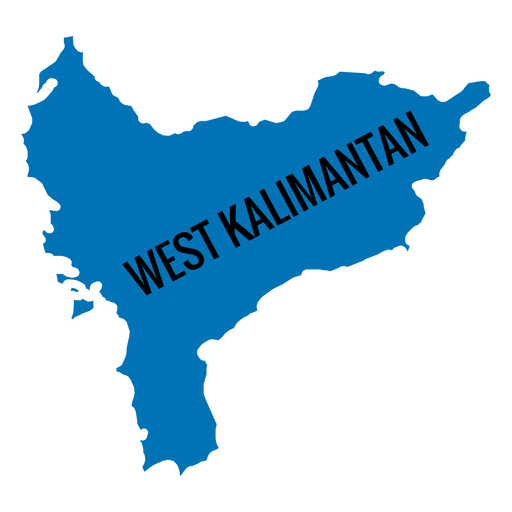
Mapa da província de West Kalimantan Desenho PNG
Escolha uma pasta
Todos os favoritos
Criar novo
Salvar
Mapa da província de West Kalimantan Desenho PNG
Premium
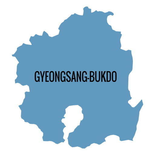
Mapa da província de Gyeongsangbuk do Desenho PNG
Escolha uma pasta
Todos os favoritos
Criar novo
Salvar
Mapa da província de Gyeongsangbuk do Desenho PNG
Premium
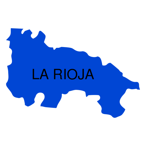
Mapa da comunidade autônoma de La Rioja Desenho PNG
Escolha uma pasta
Todos os favoritos
Criar novo
Salvar
Mapa da comunidade autônoma de La Rioja Desenho PNG
Premium
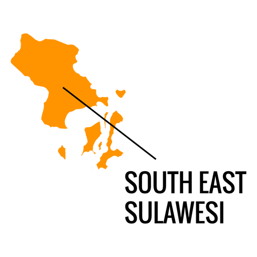
Mapa da província de Sudeste de Sulawesi Desenho PNG
Escolha uma pasta
Todos os favoritos
Criar novo
Salvar
Mapa da província de Sudeste de Sulawesi Desenho PNG
Premium
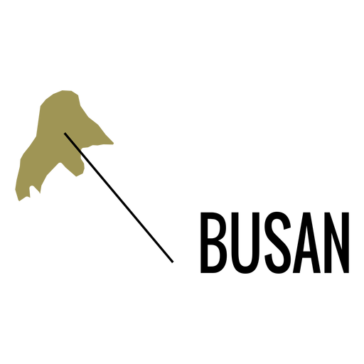
Mapa da cidade metropolitana de Busan Desenho PNG
Escolha uma pasta
Todos os favoritos
Criar novo
Salvar
Mapa da cidade metropolitana de Busan Desenho PNG
Premium
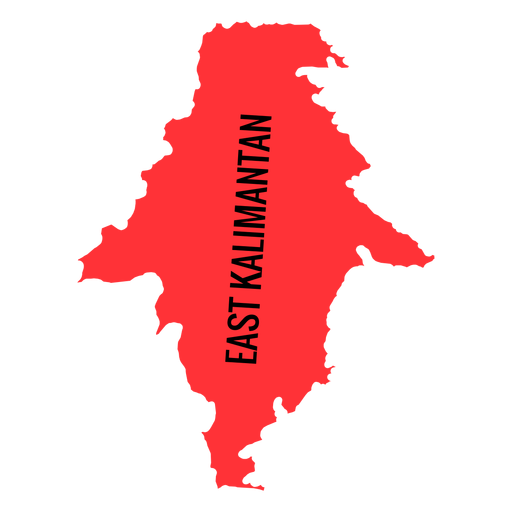
Mapa da província de Kalimantan Oriental Desenho PNG
Escolha uma pasta
Todos os favoritos
Criar novo
Salvar
Mapa da província de Kalimantan Oriental Desenho PNG
Premium
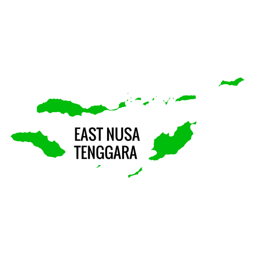
Mapa da província de East Nusa Tenggara Desenho PNG
Escolha uma pasta
Todos os favoritos
Criar novo
Salvar
Mapa da província de East Nusa Tenggara Desenho PNG
Premium
Mapa da cidade metropolitana de Gwangju Desenho PNG
Escolha uma pasta
Todos os favoritos
Criar novo
Salvar
Mapa da cidade metropolitana de Gwangju Desenho PNG
Impulsione seu negócio
Com a plataforma gráfica líder de mercado.
Ver planos
Próxima
do 8
prev page
next page