Biblioteca de design
Novos designs Merch
Camisetas
Vectores
Designs de Merch de Tendência
PNGs & SVGs
Mockups
Modelos de T-Shirt PSD
Explorar Desenhos
Designs KDP
Pôsteres
Canecas
Capas para celular
Sacos de compras
Almofadas
Ferramentas de desenho
Merch Designer
Novo!
Mockup Generator
Gerador de Design de AI
Vetorizador
Quote Generator
T-Shirt Maker (Antigo)
Ajuda
Merch Digest
Blog
Centro de Ajuda
Saiba mais sobre o Merch
Feedback
Soluções Corporativas
Empresa
Acesso à API
Estúdio de Design
Design em Lote
Preços
Carregando...
Inscrever-se
Conecte-se
All
territory
Biblioteca de design
Novos designs Merch
Camisetas
Vectores
Designs de Merch de Tendência
PNGs & SVGs
Mockups
Modelos de T-Shirt PSD
Explorar Desenhos
Designs KDP
Pôsteres
Canecas
Capas para celular
Sacos de compras
Almofadas
Ferramentas de desenho
Merch Designer
Novo!
Mockup Generator
Gerador de Design de AI
Vetorizador
Quote Generator
T-Shirt Maker (Antigo)
Ajuda
Merch Digest
Blog
Centro de Ajuda
Saiba mais sobre o Merch
Feedback
Soluções Corporativas
Empresa
Acesso à API
Estúdio de Design
Design em Lote
PLANOS
All
territory
391 Gráficos e Designs de territory para Camisetas e Merch print on demand
Baixar designs de camisetas e para merch, como capas de livro, capas de celular, tote bags e mais de territory
Relacionado:
territorio
,
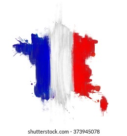
territorio francês
,
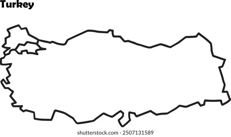
territorio turco
Ordenar por
Mais relevante
Resultados patrocinados da
Ganhe 15% de desconto com o código: VEXELS15
veja mais detalhes
Premium
Mapa da cidade metropolitana de Incheon Desenho PNG
Escolha uma pasta
Todos os favoritos
Criar novo
Salvar
Mapa da cidade metropolitana de Incheon Desenho PNG
Premium
Mapa minimalista de Hong Kong Desenho PNG
Escolha uma pasta
Todos os favoritos
Criar novo
Salvar
Mapa minimalista de Hong Kong Desenho PNG
Premium
Mapa do cantão de Appenzell innerrhoden Desenho PNG
Escolha uma pasta
Todos os favoritos
Criar novo
Salvar
Mapa do cantão de Appenzell innerrhoden Desenho PNG
Premium
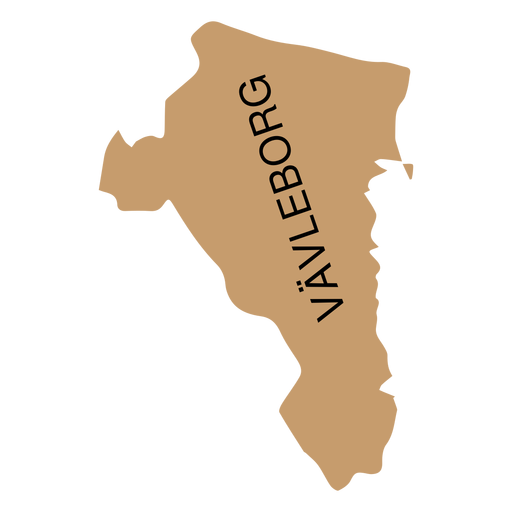
Mapa de condado de Gavleborg Desenho PNG
Escolha uma pasta
Todos os favoritos
Criar novo
Salvar
Mapa de condado de Gavleborg Desenho PNG
Premium
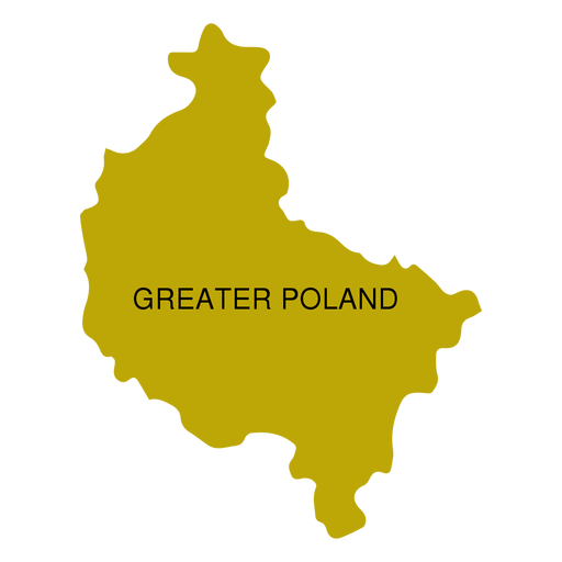
Mapa da voivodia da Grande Polónia Desenho PNG
Escolha uma pasta
Todos os favoritos
Criar novo
Salvar
Mapa da voivodia da Grande Polónia Desenho PNG
Premium
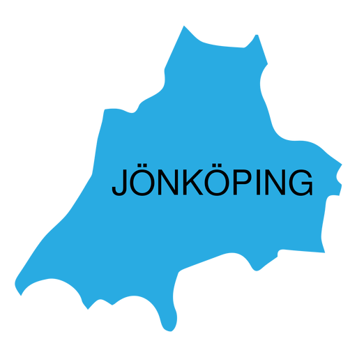
Mapa de condado de Jonkoping Desenho PNG
Escolha uma pasta
Todos os favoritos
Criar novo
Salvar
Mapa de condado de Jonkoping Desenho PNG
Premium
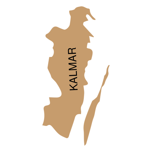
Mapa do condado de Kalmar Desenho PNG
Escolha uma pasta
Todos os favoritos
Criar novo
Salvar
Mapa do condado de Kalmar Desenho PNG
Premium
Mapa de condado de Kronoberg Desenho PNG
Escolha uma pasta
Todos os favoritos
Criar novo
Salvar
Mapa de condado de Kronoberg Desenho PNG
Premium
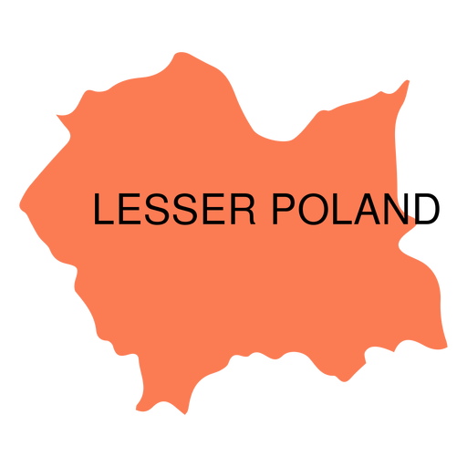
Mapa da voivodia da Polônia Menor Desenho PNG
Escolha uma pasta
Todos os favoritos
Criar novo
Salvar
Mapa da voivodia da Polônia Menor Desenho PNG
Premium
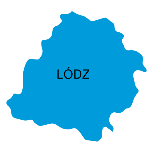
Mapa de voivodia de Lodz Desenho PNG
Escolha uma pasta
Todos os favoritos
Criar novo
Salvar
Mapa de voivodia de Lodz Desenho PNG
Premium
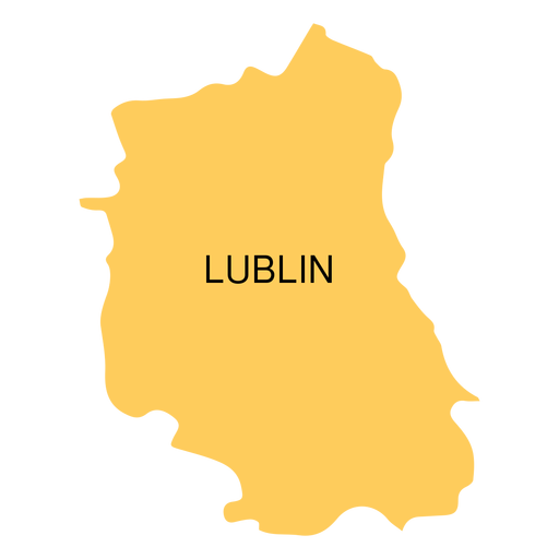
Mapa de voivodia de Lublin Desenho PNG
Escolha uma pasta
Todos os favoritos
Criar novo
Salvar
Mapa de voivodia de Lublin Desenho PNG
Premium
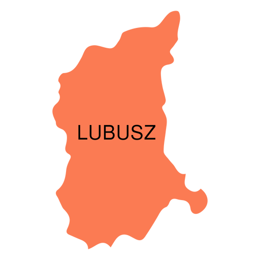
Mapa da voivodia de Lubusz Desenho PNG
Escolha uma pasta
Todos os favoritos
Criar novo
Salvar
Mapa da voivodia de Lubusz Desenho PNG
Premium
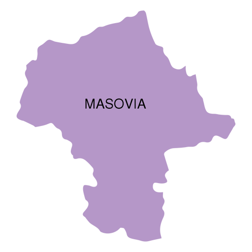
Mapa da voivodia de Masovia Desenho PNG
Escolha uma pasta
Todos os favoritos
Criar novo
Salvar
Mapa da voivodia de Masovia Desenho PNG
Premium
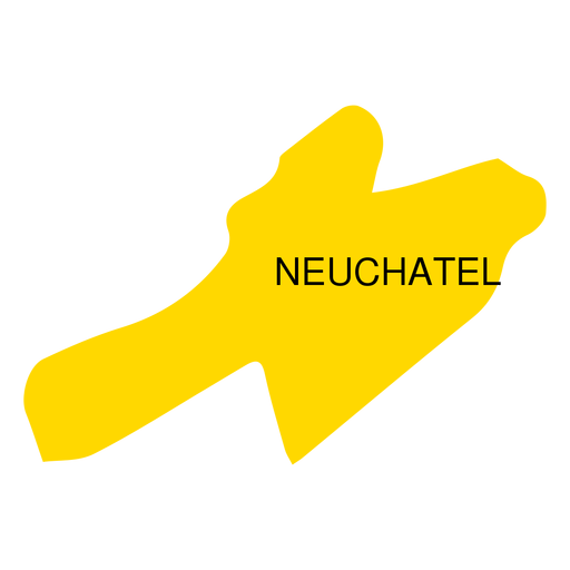
Mapa do cantão de Neuchatel Desenho PNG
Escolha uma pasta
Todos os favoritos
Criar novo
Salvar
Mapa do cantão de Neuchatel Desenho PNG
Premium
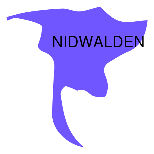
Mapa do cantão de Nidwalden Desenho PNG
Escolha uma pasta
Todos os favoritos
Criar novo
Salvar
Mapa do cantão de Nidwalden Desenho PNG
Premium
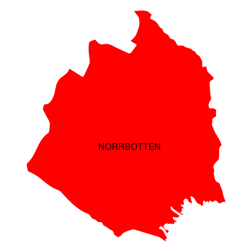
Mapa de condado de Norrbotten Desenho PNG
Escolha uma pasta
Todos os favoritos
Criar novo
Salvar
Mapa de condado de Norrbotten Desenho PNG
Premium
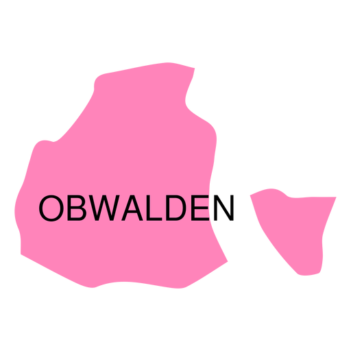
Mapa do cantão de Obwalden Desenho PNG
Escolha uma pasta
Todos os favoritos
Criar novo
Salvar
Mapa do cantão de Obwalden Desenho PNG
Premium
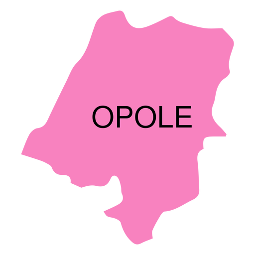
Mapa de voivodia de Opole Desenho PNG
Escolha uma pasta
Todos os favoritos
Criar novo
Salvar
Mapa de voivodia de Opole Desenho PNG
Premium
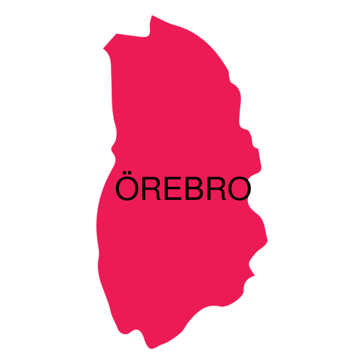
Mapa de condado de Orebro Desenho PNG
Escolha uma pasta
Todos os favoritos
Criar novo
Salvar
Mapa de condado de Orebro Desenho PNG
Premium
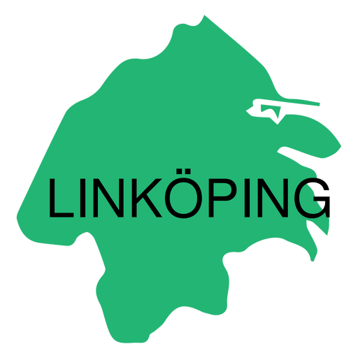
Mapa em Ostergotland county Desenho PNG
Escolha uma pasta
Todos os favoritos
Criar novo
Salvar
Mapa em Ostergotland county Desenho PNG
Premium
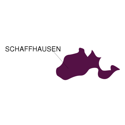
Mapa do cantão de Schaffhausen Desenho PNG
Escolha uma pasta
Todos os favoritos
Criar novo
Salvar
Mapa do cantão de Schaffhausen Desenho PNG
Premium
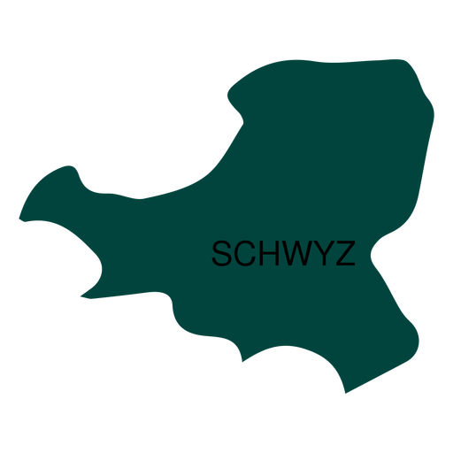
Mapa do cantão de Schwyz Desenho PNG
Escolha uma pasta
Todos os favoritos
Criar novo
Salvar
Mapa do cantão de Schwyz Desenho PNG
Premium
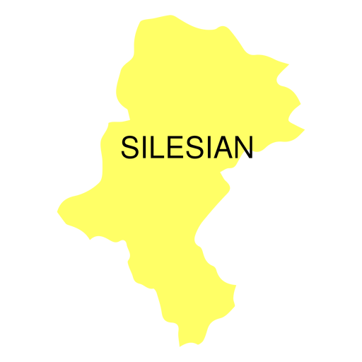
Mapa da voivodia da Silésia Desenho PNG
Escolha uma pasta
Todos os favoritos
Criar novo
Salvar
Mapa da voivodia da Silésia Desenho PNG
Premium
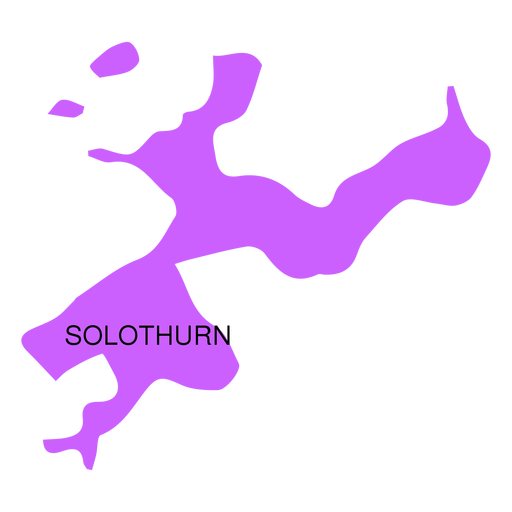
Mapa do cantão de Solothurn Desenho PNG
Escolha uma pasta
Todos os favoritos
Criar novo
Salvar
Mapa do cantão de Solothurn Desenho PNG
Premium
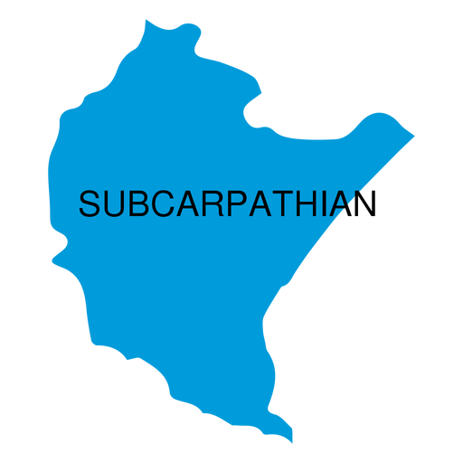
Mapa da voivodia subcarpática Desenho PNG
Escolha uma pasta
Todos os favoritos
Criar novo
Salvar
Mapa da voivodia subcarpática Desenho PNG
Premium
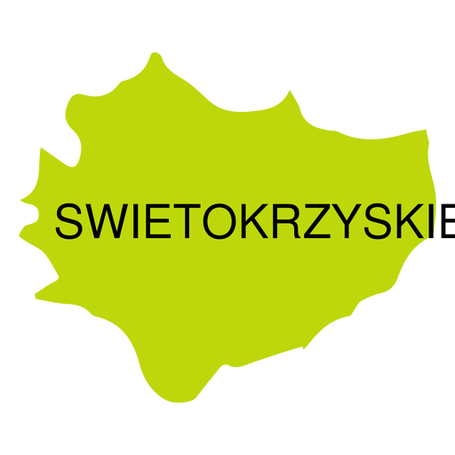
Mapa de voivodeship de Swietokrzyskie Desenho PNG
Escolha uma pasta
Todos os favoritos
Criar novo
Salvar
Mapa de voivodeship de Swietokrzyskie Desenho PNG
Premium
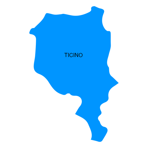
Mapa do cantão do Ticino Desenho PNG
Escolha uma pasta
Todos os favoritos
Criar novo
Salvar
Mapa do cantão do Ticino Desenho PNG
Premium
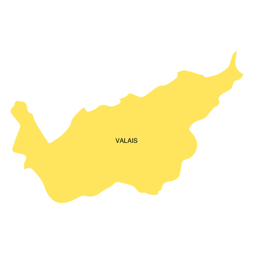
Mapa do cantão de valais Desenho PNG
Escolha uma pasta
Todos os favoritos
Criar novo
Salvar
Mapa do cantão de valais Desenho PNG
Premium
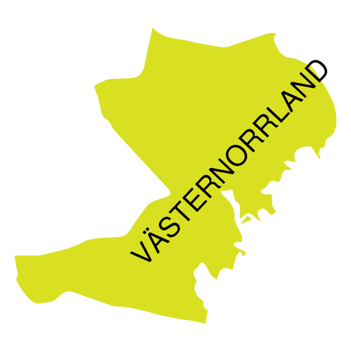
Mapa de condado de Vasternorrland Desenho PNG
Escolha uma pasta
Todos os favoritos
Criar novo
Salvar
Mapa de condado de Vasternorrland Desenho PNG
Premium
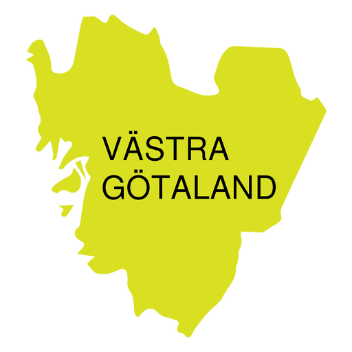
Mapa do condado de Vastra Gotland Desenho PNG
Escolha uma pasta
Todos os favoritos
Criar novo
Salvar
Mapa do condado de Vastra Gotland Desenho PNG
Premium
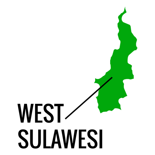
Mapa da província de West Sulawesi Desenho PNG
Escolha uma pasta
Todos os favoritos
Criar novo
Salvar
Mapa da província de West Sulawesi Desenho PNG
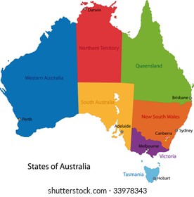
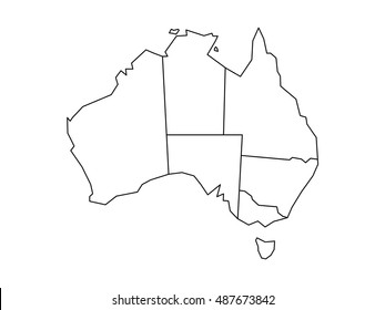
015 Mapa da Austrália
Escolha uma pasta
Todos os favoritos
Criar novo
Salvar
015 Mapa da Austrália
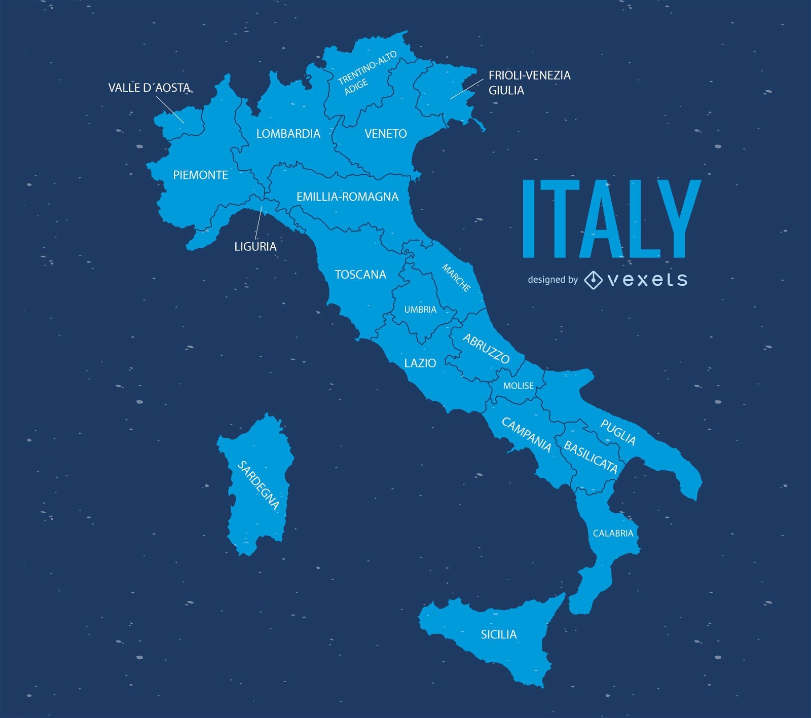
Ilustração do mapa da itália
Escolha uma pasta
Todos os favoritos
Criar novo
Salvar
Ilustração do mapa da itália
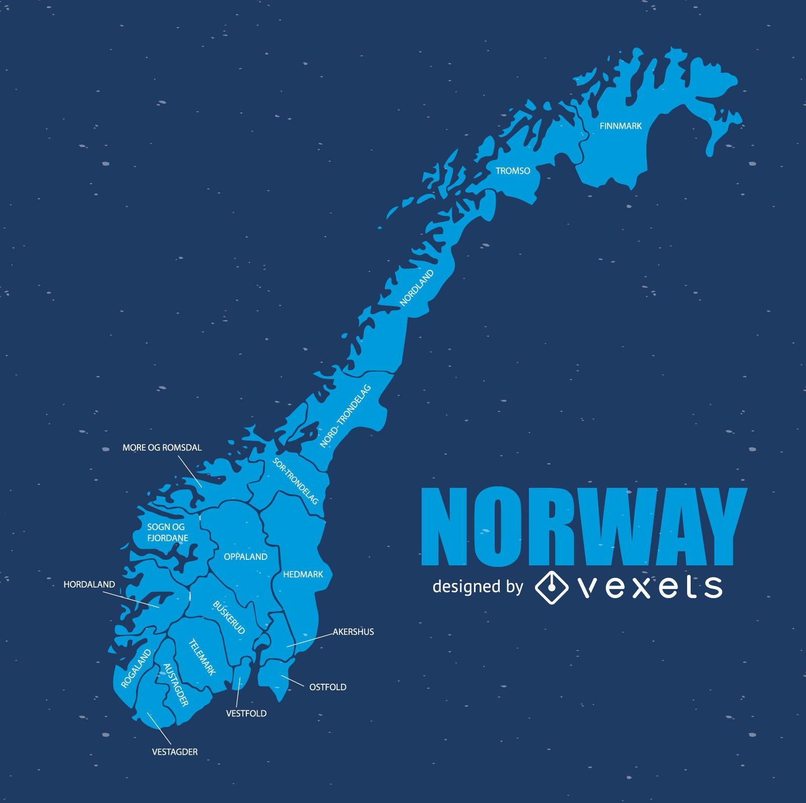
Mapa da noruega
Escolha uma pasta
Todos os favoritos
Criar novo
Salvar
Mapa da noruega
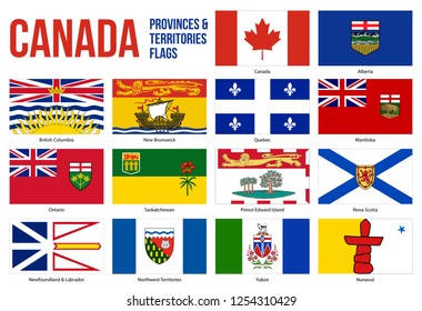
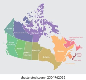
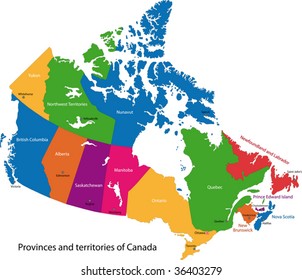
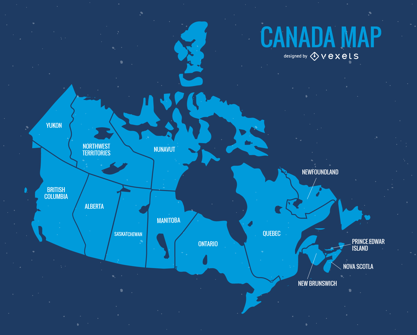
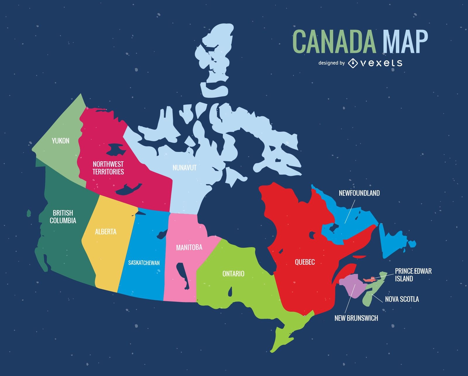
Mapa de vetor do dia azul do Canadá
Escolha uma pasta
Todos os favoritos
Criar novo
Salvar
Mapa de vetor do dia azul do Canadá
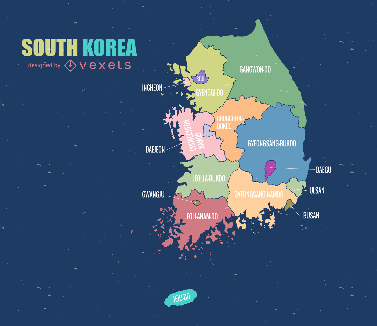
Mapa da Coreia do Sul
Escolha uma pasta
Todos os favoritos
Criar novo
Salvar
Mapa da Coreia do Sul
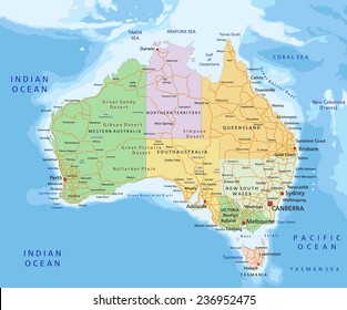
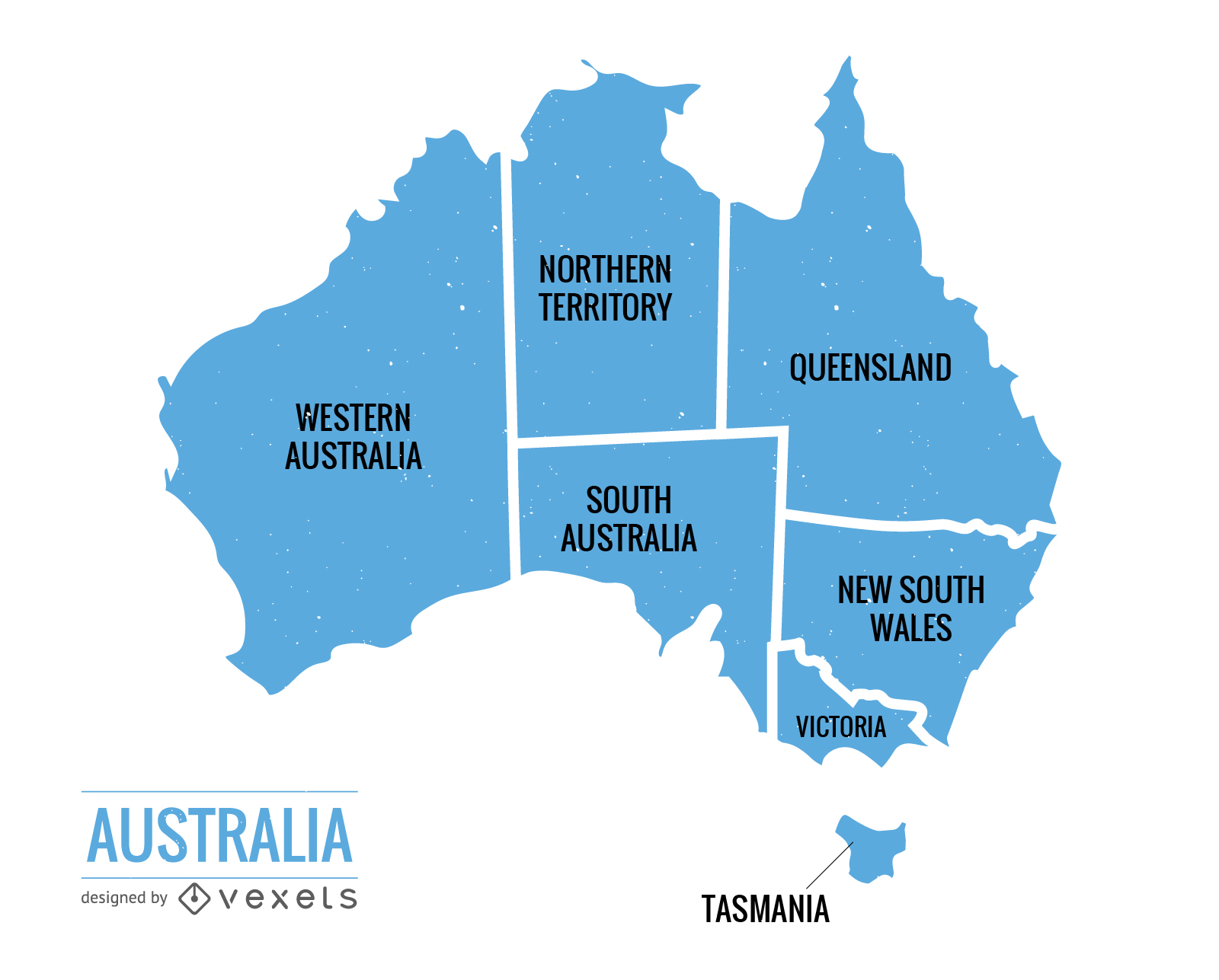
Vetor do mapa político da Austrália
Escolha uma pasta
Todos os favoritos
Criar novo
Salvar
Vetor do mapa político da Austrália
Mapa de vetores do dia do Canadá
Escolha uma pasta
Todos os favoritos
Criar novo
Salvar
Mapa de vetores do dia do Canadá
Premium
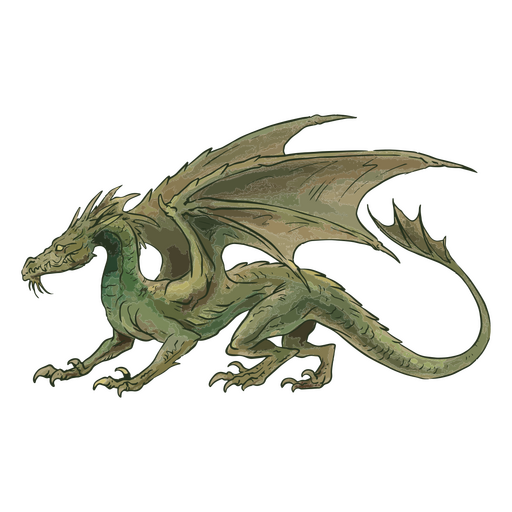
Ilustração de um dragão verde Desenho PNG
Escolha uma pasta
Todos os favoritos
Criar novo
Salvar
Ilustração de um dragão verde Desenho PNG
Premium
Itália Flag Flat Country Design
Escolha uma pasta
Todos os favoritos
Criar novo
Salvar
Itália Flag Flat Country Design
Premium
Como você chama uma coruja com armadura? Desenho PNG
Escolha uma pasta
Todos os favoritos
Criar novo
Salvar
Como você chama uma coruja com armadura? Desenho PNG
Impulsione seu negócio
Com a plataforma gráfica líder de mercado.
Ver planos
do 8
prev page
next page