Biblioteca de design
Novos designs Merch
Camisetas
Vectores
Designs de Merch de Tendência
PNGs & SVGs
Mockups
Modelos de T-Shirt PSD
Explorar Desenhos
Designs KDP
Pôsteres
Canecas
Capas para celular
Sacos de compras
Almofadas
Ferramentas de desenho
Merch Designer
Novo!
Mockup Generator
Gerador de Design de AI
Vetorizador
Quote Generator
T-Shirt Maker (Antigo)
Ajuda
Merch Digest
Blog
Centro de Ajuda
Saiba mais sobre o Merch
Feedback
Soluções Corporativas
Empresa
Acesso à API
Estúdio de Design
Design em Lote
Preços
Carregando...
Inscrever-se
Conecte-se
PNGs For Merch
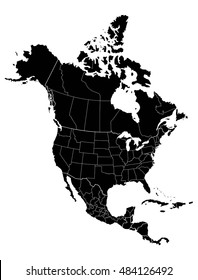
north
america
Biblioteca de design
Novos designs Merch
Camisetas
Vectores
Designs de Merch de Tendência
PNGs & SVGs
Mockups
Modelos de T-Shirt PSD
Explorar Desenhos
Designs KDP
Pôsteres
Canecas
Capas para celular
Sacos de compras
Almofadas
Ferramentas de desenho
Merch Designer
Novo!
Mockup Generator
Gerador de Design de AI
Vetorizador
Quote Generator
T-Shirt Maker (Antigo)
Ajuda
Merch Digest
Blog
Centro de Ajuda
Saiba mais sobre o Merch
Feedback
Soluções Corporativas
Empresa
Acesso à API
Estúdio de Design
Design em Lote
PLANOS
PNGs For Merch
north
america
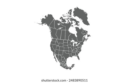
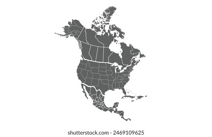
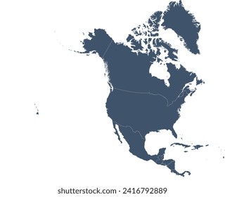
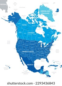
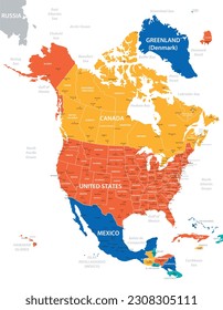
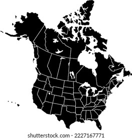
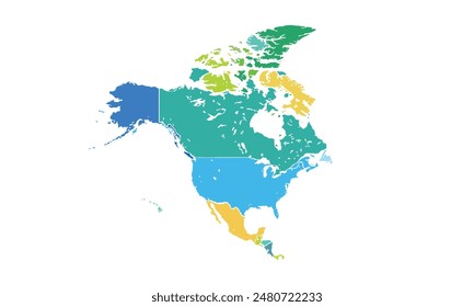
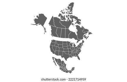
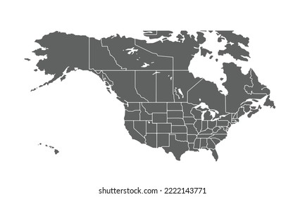
166 Gráficos de designs PNG e SVG de north america
Baixar Gráficos PNG e SVG de Design com Fundo Transparente Para T-Shirts, Capas do Celular, Capas do Livros e outros Produtos Merch
Relacionado:
america do norte
,
Ordenar por
Mais relevante
Resultados patrocinados da
Ganhe 15% de desconto com o código: VEXELS15
veja mais detalhes
Mapa de acidente vascular cerebral do estado de Utah Desenho PNG
Escolha uma pasta
Todos os favoritos
Criar novo
Salvar
Mapa de acidente vascular cerebral do estado de Utah Desenho PNG
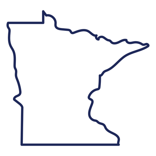
Mapa de acidente vascular cerebral do estado de Minnesota Desenho PNG
Escolha uma pasta
Todos os favoritos
Criar novo
Salvar
Mapa de acidente vascular cerebral do estado de Minnesota Desenho PNG
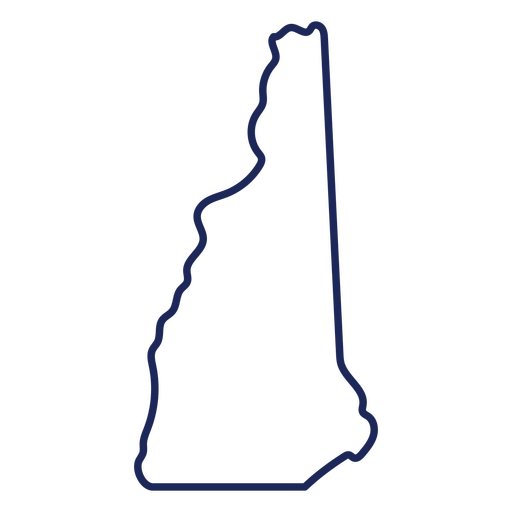
Mapa de acidente vascular cerebral do estado de New Hampshire Desenho PNG
Escolha uma pasta
Todos os favoritos
Criar novo
Salvar
Mapa de acidente vascular cerebral do estado de New Hampshire Desenho PNG
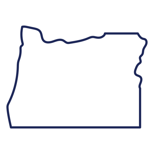
Mapa de acidente vascular cerebral do estado de Oregon Desenho PNG
Escolha uma pasta
Todos os favoritos
Criar novo
Salvar
Mapa de acidente vascular cerebral do estado de Oregon Desenho PNG
Mapa de acidente vascular cerebral do estado de Oklahoma Desenho PNG
Escolha uma pasta
Todos os favoritos
Criar novo
Salvar
Mapa de acidente vascular cerebral do estado de Oklahoma Desenho PNG
Mapa de acidente vascular cerebral do estado de Missouri Desenho PNG
Escolha uma pasta
Todos os favoritos
Criar novo
Salvar
Mapa de acidente vascular cerebral do estado de Missouri Desenho PNG
Estados letras arkansas Desenho PNG
Escolha uma pasta
Todos os favoritos
Criar novo
Salvar
Estados letras arkansas Desenho PNG
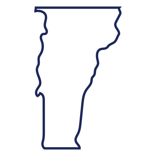
Mapa de acidente vascular cerebral do estado de Vermont Desenho PNG
Escolha uma pasta
Todos os favoritos
Criar novo
Salvar
Mapa de acidente vascular cerebral do estado de Vermont Desenho PNG
Mapa de acidente vascular cerebral do estado de Nevada Desenho PNG
Escolha uma pasta
Todos os favoritos
Criar novo
Salvar
Mapa de acidente vascular cerebral do estado de Nevada Desenho PNG
Mapa de acidentes vasculares cerebrais do estado de Rhode Island Desenho PNG
Escolha uma pasta
Todos os favoritos
Criar novo
Salvar
Mapa de acidentes vasculares cerebrais do estado de Rhode Island Desenho PNG
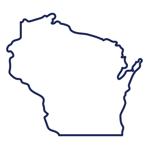
Mapa de acidente vascular cerebral do estado de Wisconsin Desenho PNG
Escolha uma pasta
Todos os favoritos
Criar novo
Salvar
Mapa de acidente vascular cerebral do estado de Wisconsin Desenho PNG
Estados rotulando nova camisa Desenho PNG
Escolha uma pasta
Todos os favoritos
Criar novo
Salvar
Estados rotulando nova camisa Desenho PNG
Mapa de acidente vascular cerebral do estado da Carolina do Sul Desenho PNG
Escolha uma pasta
Todos os favoritos
Criar novo
Salvar
Mapa de acidente vascular cerebral do estado da Carolina do Sul Desenho PNG
Estados letras nebraska Desenho PNG
Escolha uma pasta
Todos os favoritos
Criar novo
Salvar
Estados letras nebraska Desenho PNG
Estados letras illinois Desenho PNG
Escolha uma pasta
Todos os favoritos
Criar novo
Salvar
Estados letras illinois Desenho PNG
Estados letras Washington Desenho PNG
Escolha uma pasta
Todos os favoritos
Criar novo
Salvar
Estados letras Washington Desenho PNG
Mapa de acidente vascular cerebral do estado de Montana Desenho PNG
Escolha uma pasta
Todos os favoritos
Criar novo
Salvar
Mapa de acidente vascular cerebral do estado de Montana Desenho PNG
Estados letras pensilvânia Desenho PNG
Escolha uma pasta
Todos os favoritos
Criar novo
Salvar
Estados letras pensilvânia Desenho PNG
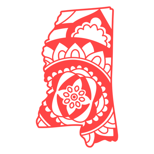
Estados letras mississippi Desenho PNG
Escolha uma pasta
Todos os favoritos
Criar novo
Salvar
Estados letras mississippi Desenho PNG
Estados letras idaho Desenho PNG
Escolha uma pasta
Todos os favoritos
Criar novo
Salvar
Estados letras idaho Desenho PNG
Estados letras iowa Desenho PNG
Escolha uma pasta
Todos os favoritos
Criar novo
Salvar
Estados letras iowa Desenho PNG
Estados letras louisiana Desenho PNG
Escolha uma pasta
Todos os favoritos
Criar novo
Salvar
Estados letras louisiana Desenho PNG
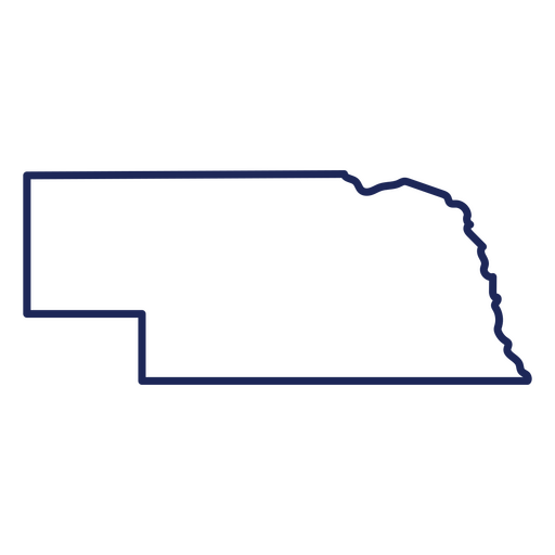
Mapa de acidente vascular cerebral do estado de Nebraska Desenho PNG
Escolha uma pasta
Todos os favoritos
Criar novo
Salvar
Mapa de acidente vascular cerebral do estado de Nebraska Desenho PNG
Mapa de acidente vascular cerebral do estado da Virgínia Ocidental Desenho PNG
Escolha uma pasta
Todos os favoritos
Criar novo
Salvar
Mapa de acidente vascular cerebral do estado da Virgínia Ocidental Desenho PNG
Estados letras Carolina do Sul Desenho PNG
Escolha uma pasta
Todos os favoritos
Criar novo
Salvar
Estados letras Carolina do Sul Desenho PNG
Premium
desenho de bisonte azul Desenho PNG
Escolha uma pasta
Todos os favoritos
Criar novo
Salvar
desenho de bisonte azul Desenho PNG
Mapa de acidente vascular cerebral do estado do Novo México Desenho PNG
Escolha uma pasta
Todos os favoritos
Criar novo
Salvar
Mapa de acidente vascular cerebral do estado do Novo México Desenho PNG
Mapa da mandala do estado de Illinois Desenho PNG
Escolha uma pasta
Todos os favoritos
Criar novo
Salvar
Mapa da mandala do estado de Illinois Desenho PNG
Mapa de acidente vascular cerebral do estado de Dakota do Sul Desenho PNG
Escolha uma pasta
Todos os favoritos
Criar novo
Salvar
Mapa de acidente vascular cerebral do estado de Dakota do Sul Desenho PNG
Locais de letras são francisco Desenho PNG
Escolha uma pasta
Todos os favoritos
Criar novo
Salvar
Locais de letras são francisco Desenho PNG
Curso de mapa de mandala do estado do Mississippi Desenho PNG
Escolha uma pasta
Todos os favoritos
Criar novo
Salvar
Curso de mapa de mandala do estado do Mississippi Desenho PNG
Mapa de acidente vascular cerebral do estado de Wyoming Desenho PNG
Escolha uma pasta
Todos os favoritos
Criar novo
Salvar
Mapa de acidente vascular cerebral do estado de Wyoming Desenho PNG
Mapa da mandala do estado de Indiana Desenho PNG
Escolha uma pasta
Todos os favoritos
Criar novo
Salvar
Mapa da mandala do estado de Indiana Desenho PNG
Premium
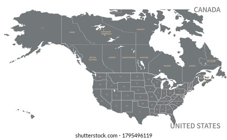
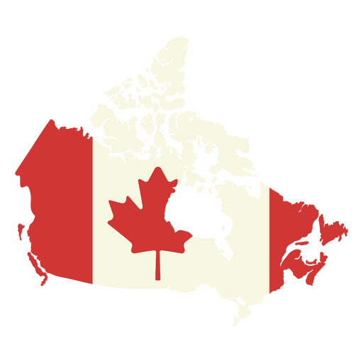
Mapa do Canadá com a bandeira canadense Desenho PNG
Escolha uma pasta
Todos os favoritos
Criar novo
Salvar
Mapa do Canadá com a bandeira canadense Desenho PNG
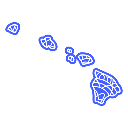
Mapa da mandala do estado do Havaí Desenho PNG
Escolha uma pasta
Todos os favoritos
Criar novo
Salvar
Mapa da mandala do estado do Havaí Desenho PNG
Lugares com letras dallas Desenho PNG
Escolha uma pasta
Todos os favoritos
Criar novo
Salvar
Lugares com letras dallas Desenho PNG
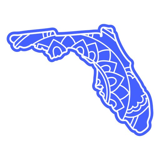
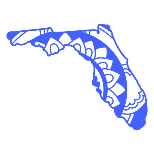
Mandala de mapa do estado da Flórida Desenho PNG
Escolha uma pasta
Todos os favoritos
Criar novo
Salvar
Mandala de mapa do estado da Flórida Desenho PNG
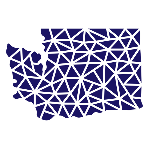
Mapa poligonal do estado de Washington Desenho PNG
Escolha uma pasta
Todos os favoritos
Criar novo
Salvar
Mapa poligonal do estado de Washington Desenho PNG
Elemento de mapa de mandala do estado do Mississippi Desenho PNG
Escolha uma pasta
Todos os favoritos
Criar novo
Salvar
Elemento de mapa de mandala do estado do Mississippi Desenho PNG
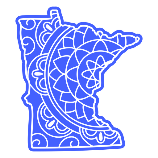
Curso de mapa de mandala do estado de Minnesota Desenho PNG
Escolha uma pasta
Todos os favoritos
Criar novo
Salvar
Curso de mapa de mandala do estado de Minnesota Desenho PNG
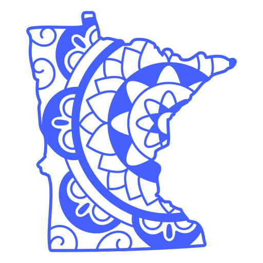
Mapa da mandala do estado de Minnesota Desenho PNG
Escolha uma pasta
Todos os favoritos
Criar novo
Salvar
Mapa da mandala do estado de Minnesota Desenho PNG
Curso de mapa de mandala do estado da Flórida Desenho PNG
Escolha uma pasta
Todos os favoritos
Criar novo
Salvar
Curso de mapa de mandala do estado da Flórida Desenho PNG
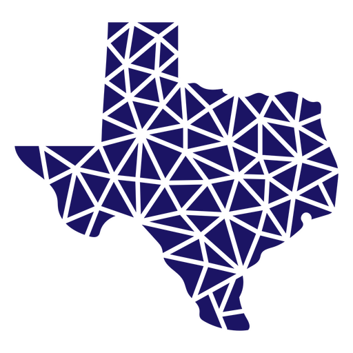
Mapa poligonal do estado do Texas Desenho PNG
Escolha uma pasta
Todos os favoritos
Criar novo
Salvar
Mapa poligonal do estado do Texas Desenho PNG
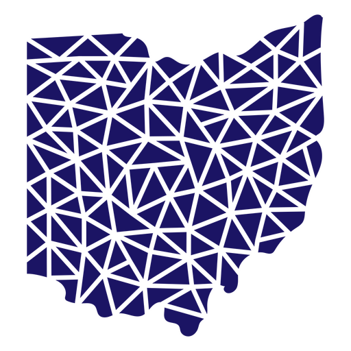
Mapa poligonal do estado de Ohio Desenho PNG
Escolha uma pasta
Todos os favoritos
Criar novo
Salvar
Mapa poligonal do estado de Ohio Desenho PNG
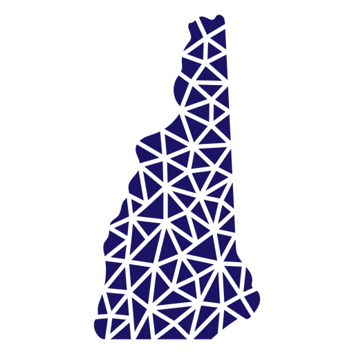
Mapa poligonal de New Hampshire Desenho PNG
Escolha uma pasta
Todos os favoritos
Criar novo
Salvar
Mapa poligonal de New Hampshire Desenho PNG
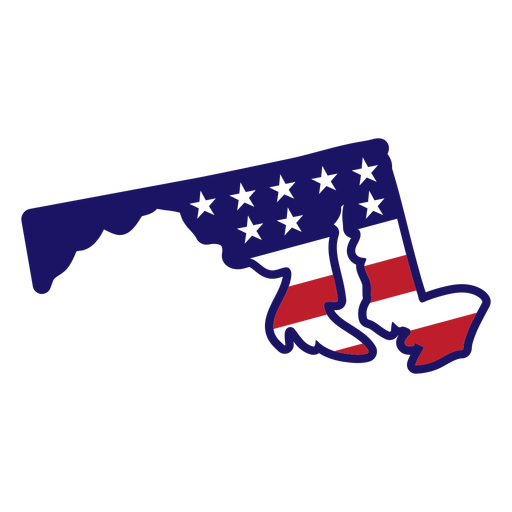
Mapa de estrelas e listras de Maryland Desenho PNG
Escolha uma pasta
Todos os favoritos
Criar novo
Salvar
Mapa de estrelas e listras de Maryland Desenho PNG
Mapa da mandala do estado do Kansas Desenho PNG
Escolha uma pasta
Todos os favoritos
Criar novo
Salvar
Mapa da mandala do estado do Kansas Desenho PNG
Premium
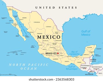
Mapa de contorno elegante do design do México Desenho PNG
Escolha uma pasta
Todos os favoritos
Criar novo
Salvar
Mapa de contorno elegante do design do México Desenho PNG
Curso de mapa de mandala do estado de Iowa Desenho PNG
Escolha uma pasta
Todos os favoritos
Criar novo
Salvar
Curso de mapa de mandala do estado de Iowa Desenho PNG
Estados letras massachusetts Desenho PNG
Escolha uma pasta
Todos os favoritos
Criar novo
Salvar
Estados letras massachusetts Desenho PNG
Impulsione seu negócio
Com a plataforma gráfica líder de mercado.
Ver planos
Próxima
do 4
prev page
next page