Biblioteca de design
Novos designs Merch
Camisetas
Vectores
Designs de Merch de Tendência
PNGs & SVGs
Mockups
Modelos de T-Shirt PSD
Explorar Desenhos
Designs KDP
Pôsteres
Canecas
Capas para celular
Sacos de compras
Almofadas
Ferramentas de desenho
Merch Designer
Novo!
Mockup Generator
Gerador de Design de AI
Vetorizador
Quote Generator
T-Shirt Maker (Antigo)
Ajuda
Merch Digest
Blog
Centro de Ajuda
Saiba mais sobre o Merch
Feedback
Soluções Corporativas
Empresa
Acesso à API
Estúdio de Design
Design em Lote
Preços
Carregando...
Inscrever-se
Conecte-se
PNGs For Merch
region
Biblioteca de design
Novos designs Merch
Camisetas
Vectores
Designs de Merch de Tendência
PNGs & SVGs
Mockups
Modelos de T-Shirt PSD
Explorar Desenhos
Designs KDP
Pôsteres
Canecas
Capas para celular
Sacos de compras
Almofadas
Ferramentas de desenho
Merch Designer
Novo!
Mockup Generator
Gerador de Design de AI
Vetorizador
Quote Generator
T-Shirt Maker (Antigo)
Ajuda
Merch Digest
Blog
Centro de Ajuda
Saiba mais sobre o Merch
Feedback
Soluções Corporativas
Empresa
Acesso à API
Estúdio de Design
Design em Lote
PLANOS
PNGs For Merch
region
96 Gráficos de designs PNG e SVG de region
Baixar Gráficos PNG e SVG de Design com Fundo Transparente Para T-Shirts, Capas do Celular, Capas do Livros e outros Produtos Merch
Relacionado:
regional
,
esboço regional
,
simbolo regional
Ordenar por
Mais relevante
Resultados patrocinados da
Ganhe 15% de desconto com o código: VEXELS15
veja mais detalhes
Premium
O logotipo para ingredientes de origem local Desenho PNG
Escolha uma pasta
Todos os favoritos
Criar novo
Salvar
O logotipo para ingredientes de origem local Desenho PNG
Premium
Etiqueta roxa com as palavras ingredientes de origem local Desenho PNG
Escolha uma pasta
Todos os favoritos
Criar novo
Salvar
Etiqueta roxa com as palavras ingredientes de origem local Desenho PNG
Premium
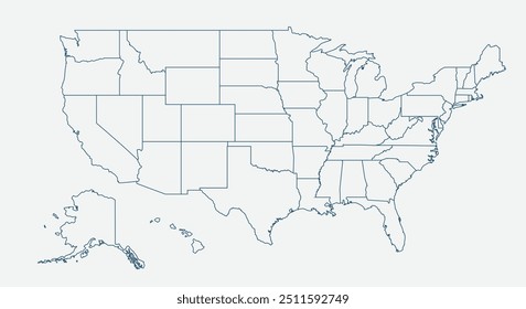
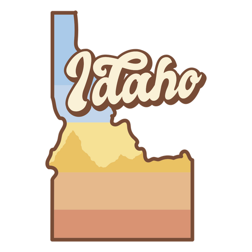
O estado de idaho é mostrado Desenho PNG
Escolha uma pasta
Todos os favoritos
Criar novo
Salvar
O estado de idaho é mostrado Desenho PNG
Premium
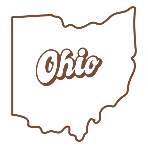
O estado de Ohio é mostrado Desenho PNG
Escolha uma pasta
Todos os favoritos
Criar novo
Salvar
O estado de Ohio é mostrado Desenho PNG
Premium
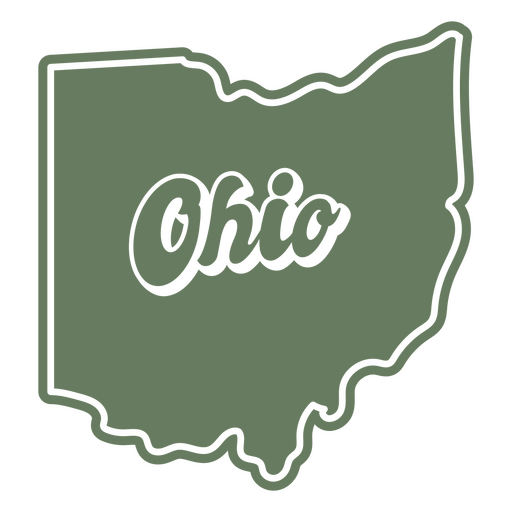
O estado de Ohio é mostrado em um fundo verde Desenho PNG
Escolha uma pasta
Todos os favoritos
Criar novo
Salvar
O estado de Ohio é mostrado em um fundo verde Desenho PNG
Premium
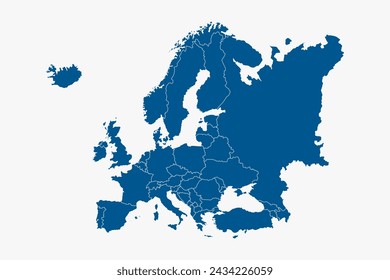
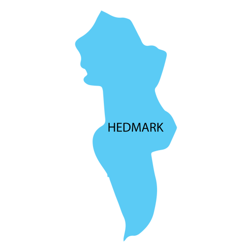
Mapa de condado de Hedmark Desenho PNG
Escolha uma pasta
Todos os favoritos
Criar novo
Salvar
Mapa de condado de Hedmark Desenho PNG
Premium
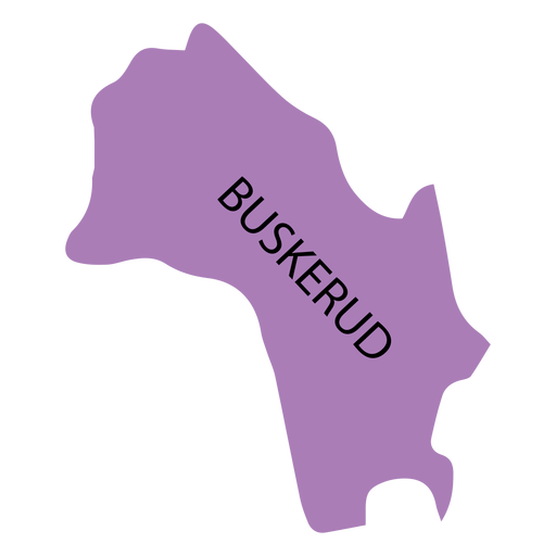
Mapa de Buskerud county Desenho PNG
Escolha uma pasta
Todos os favoritos
Criar novo
Salvar
Mapa de Buskerud county Desenho PNG
Premium
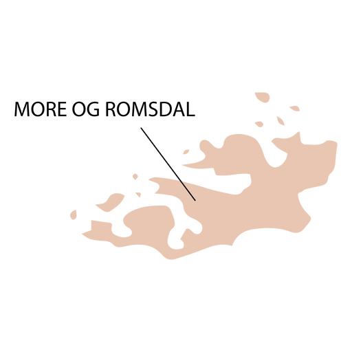
Mapa do condado de More og romsdal Desenho PNG
Escolha uma pasta
Todos os favoritos
Criar novo
Salvar
Mapa do condado de More og romsdal Desenho PNG
Premium
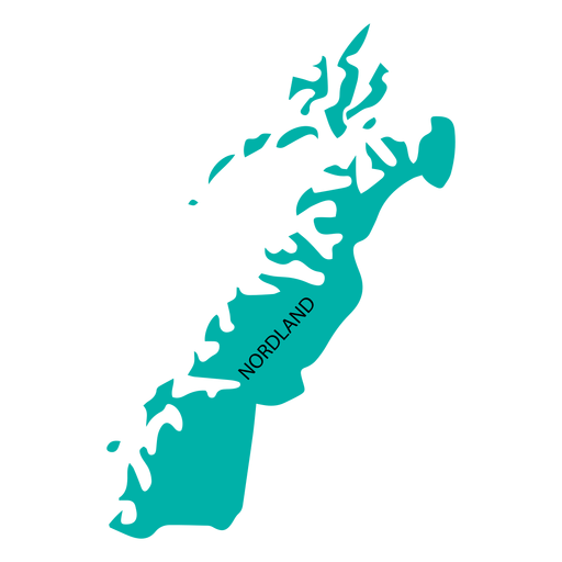
Mapa de condado de Nordland Desenho PNG
Escolha uma pasta
Todos os favoritos
Criar novo
Salvar
Mapa de condado de Nordland Desenho PNG
Premium
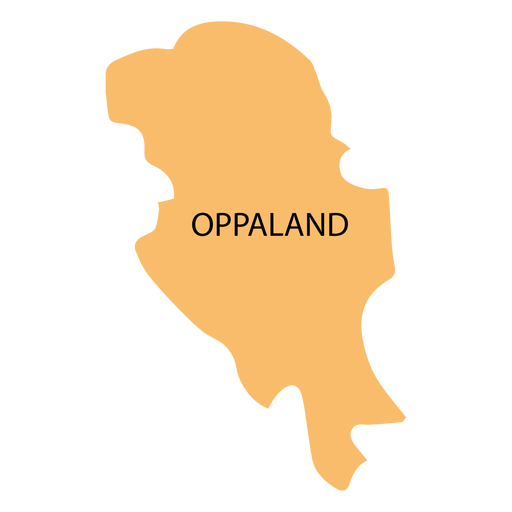
Mapa do condado de Oppland Desenho PNG
Escolha uma pasta
Todos os favoritos
Criar novo
Salvar
Mapa do condado de Oppland Desenho PNG
Premium
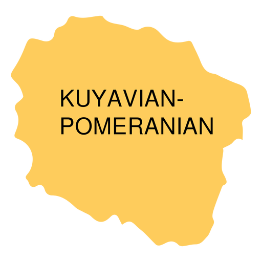
Mapa da voivodia da Pomerânia Kuyaviana Desenho PNG
Escolha uma pasta
Todos os favoritos
Criar novo
Salvar
Mapa da voivodia da Pomerânia Kuyaviana Desenho PNG
Premium
Mapa de condado de Vestfold Desenho PNG
Escolha uma pasta
Todos os favoritos
Criar novo
Salvar
Mapa de condado de Vestfold Desenho PNG
Premium
O estado de Utah com a palavra Utah nele Desenho PNG
Escolha uma pasta
Todos os favoritos
Criar novo
Salvar
O estado de Utah com a palavra Utah nele Desenho PNG
Premium
Mapa de condado de Akershus Desenho PNG
Escolha uma pasta
Todos os favoritos
Criar novo
Salvar
Mapa de condado de Akershus Desenho PNG
Premium
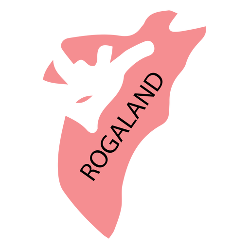
Mapa do condado de Rogaland Desenho PNG
Escolha uma pasta
Todos os favoritos
Criar novo
Salvar
Mapa do condado de Rogaland Desenho PNG
Premium
Mapa de condado de Hordaland Desenho PNG
Escolha uma pasta
Todos os favoritos
Criar novo
Salvar
Mapa de condado de Hordaland Desenho PNG
Premium
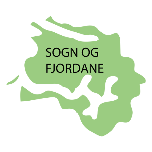
Mapa de condado de Sogn og fjordane Desenho PNG
Escolha uma pasta
Todos os favoritos
Criar novo
Salvar
Mapa de condado de Sogn og fjordane Desenho PNG
Premium
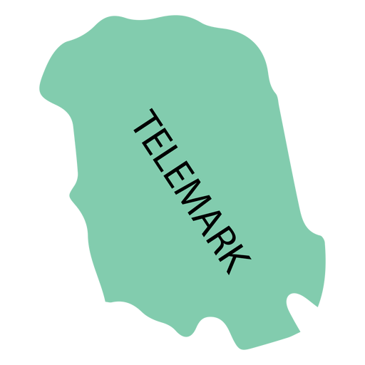
Mapa de condado de Telemark Desenho PNG
Escolha uma pasta
Todos os favoritos
Criar novo
Salvar
Mapa de condado de Telemark Desenho PNG
Premium
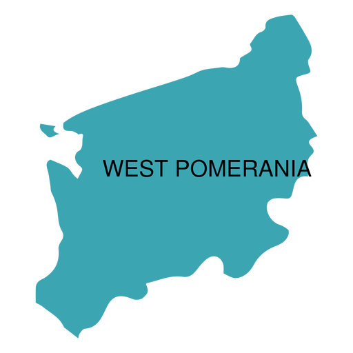
Mapa da voivodia de West pomerania Desenho PNG
Escolha uma pasta
Todos os favoritos
Criar novo
Salvar
Mapa da voivodia de West pomerania Desenho PNG
Premium
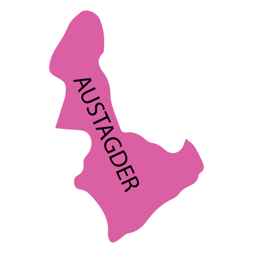
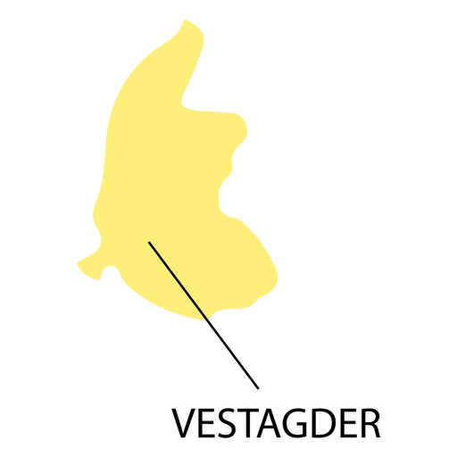
Mapa do condado de Aust agder Desenho PNG
Escolha uma pasta
Todos os favoritos
Criar novo
Salvar
Mapa do condado de Aust agder Desenho PNG
Premium
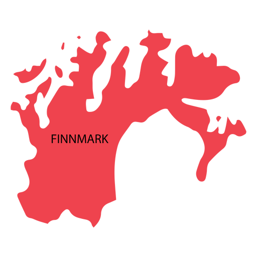
Mapa de condado de Finnmark Desenho PNG
Escolha uma pasta
Todos os favoritos
Criar novo
Salvar
Mapa de condado de Finnmark Desenho PNG
Premium
Mapa do condado de Ostfold Desenho PNG
Escolha uma pasta
Todos os favoritos
Criar novo
Salvar
Mapa do condado de Ostfold Desenho PNG
Premium
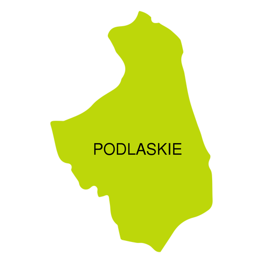
Mapa de voivodeship de Podlaskie Desenho PNG
Escolha uma pasta
Todos os favoritos
Criar novo
Salvar
Mapa de voivodeship de Podlaskie Desenho PNG
Premium
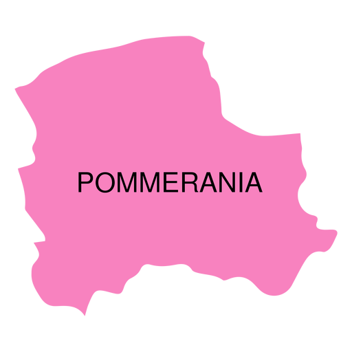
Mapa de voivodia de Pommerania Desenho PNG
Escolha uma pasta
Todos os favoritos
Criar novo
Salvar
Mapa de voivodia de Pommerania Desenho PNG
Premium
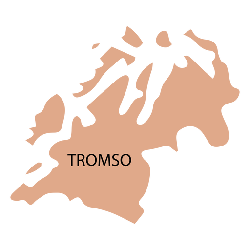
Mapa de condado de Troms Desenho PNG
Escolha uma pasta
Todos os favoritos
Criar novo
Salvar
Mapa de condado de Troms Desenho PNG
Premium
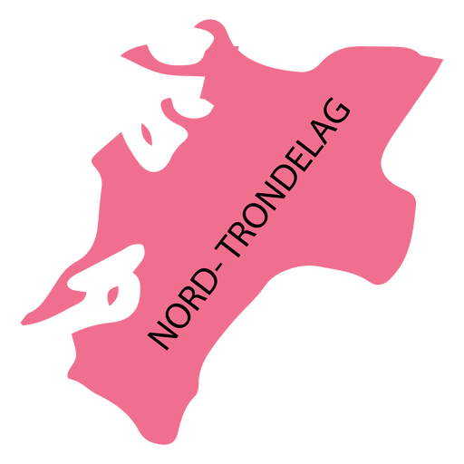
Mapa do condado de Nord trondelag Desenho PNG
Escolha uma pasta
Todos os favoritos
Criar novo
Salvar
Mapa do condado de Nord trondelag Desenho PNG
Premium
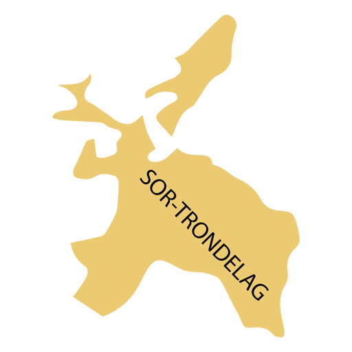
Sor trondelag mapa do condado Desenho PNG
Escolha uma pasta
Todos os favoritos
Criar novo
Salvar
Sor trondelag mapa do condado Desenho PNG
Premium
Vest agder county map Desenho PNG
Escolha uma pasta
Todos os favoritos
Criar novo
Salvar
Vest agder county map Desenho PNG
Premium
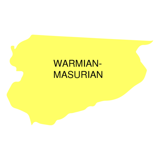
Mapa da voivodia da masúria da Vármia Desenho PNG
Escolha uma pasta
Todos os favoritos
Criar novo
Salvar
Mapa da voivodia da masúria da Vármia Desenho PNG
Premium
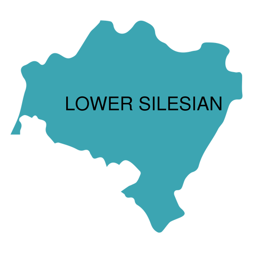
Mapa da voivodia da Baixa Silésia Desenho PNG
Escolha uma pasta
Todos os favoritos
Criar novo
Salvar
Mapa da voivodia da Baixa Silésia Desenho PNG
Premium
Silhueta estilizada do mapa da ilha de Hong Kong Desenho PNG
Escolha uma pasta
Todos os favoritos
Criar novo
Salvar
Silhueta estilizada do mapa da ilha de Hong Kong Desenho PNG
Premium
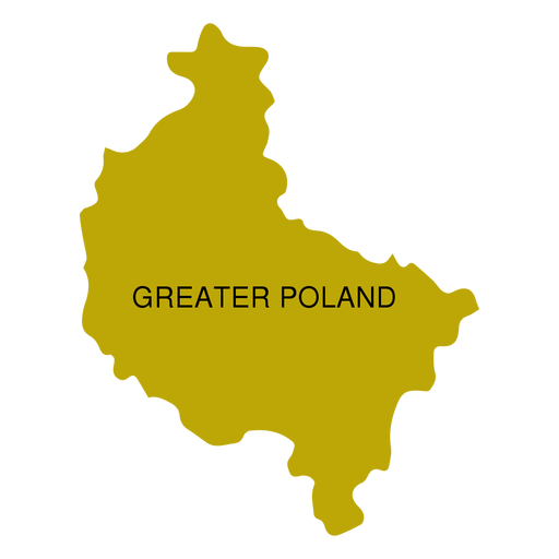
Mapa da voivodia da Grande Polónia Desenho PNG
Escolha uma pasta
Todos os favoritos
Criar novo
Salvar
Mapa da voivodia da Grande Polónia Desenho PNG
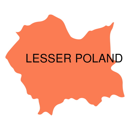
Premium
Mapa da voivodia da Polônia Menor Desenho PNG
Escolha uma pasta
Todos os favoritos
Criar novo
Salvar
Mapa da voivodia da Polônia Menor Desenho PNG
Premium
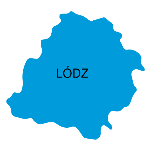
Mapa de voivodia de Lodz Desenho PNG
Escolha uma pasta
Todos os favoritos
Criar novo
Salvar
Mapa de voivodia de Lodz Desenho PNG
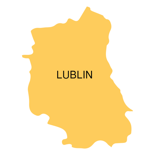
Premium
Mapa de voivodia de Lublin Desenho PNG
Escolha uma pasta
Todos os favoritos
Criar novo
Salvar
Mapa de voivodia de Lublin Desenho PNG
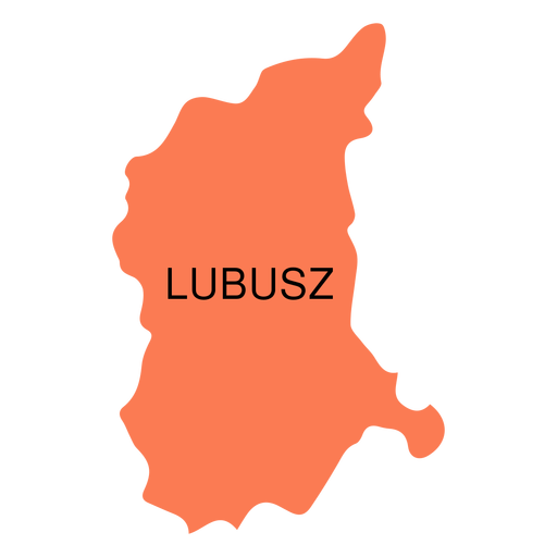
Premium
Mapa da voivodia de Lubusz Desenho PNG
Escolha uma pasta
Todos os favoritos
Criar novo
Salvar
Mapa da voivodia de Lubusz Desenho PNG
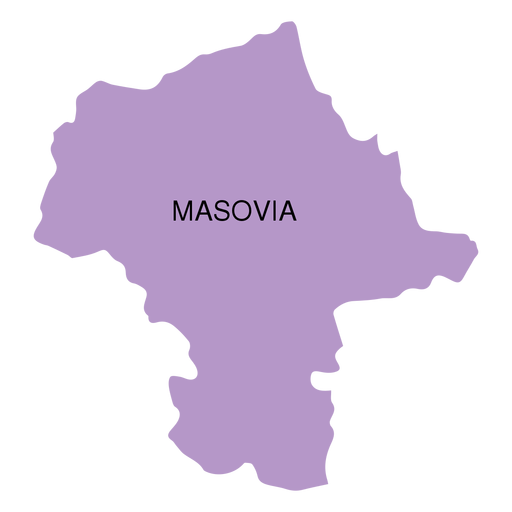
Premium
Mapa da voivodia de Masovia Desenho PNG
Escolha uma pasta
Todos os favoritos
Criar novo
Salvar
Mapa da voivodia de Masovia Desenho PNG
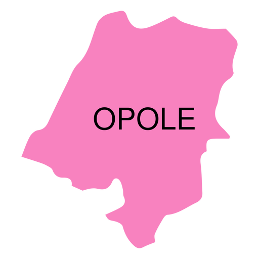
Premium
Mapa de voivodia de Opole Desenho PNG
Escolha uma pasta
Todos os favoritos
Criar novo
Salvar
Mapa de voivodia de Opole Desenho PNG
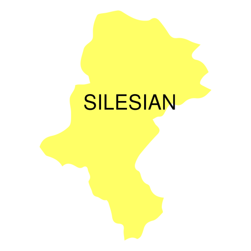
Premium
Mapa da voivodia da Silésia Desenho PNG
Escolha uma pasta
Todos os favoritos
Criar novo
Salvar
Mapa da voivodia da Silésia Desenho PNG
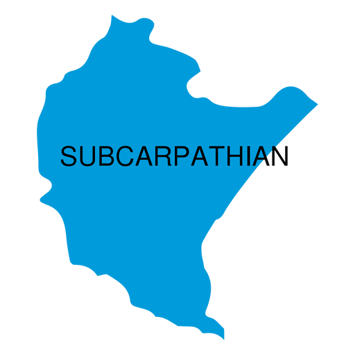
Premium
Mapa da voivodia subcarpática Desenho PNG
Escolha uma pasta
Todos os favoritos
Criar novo
Salvar
Mapa da voivodia subcarpática Desenho PNG
Premium
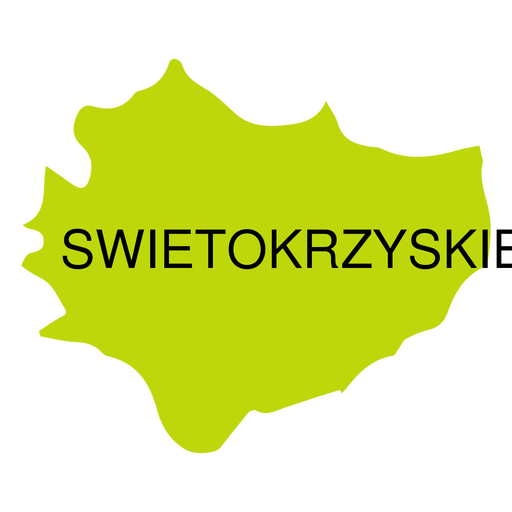
Mapa de voivodeship de Swietokrzyskie Desenho PNG
Escolha uma pasta
Todos os favoritos
Criar novo
Salvar
Mapa de voivodeship de Swietokrzyskie Desenho PNG
Premium
O estado do Tennessee é mostrado Desenho PNG
Escolha uma pasta
Todos os favoritos
Criar novo
Salvar
O estado do Tennessee é mostrado Desenho PNG
Premium
Rótulo de melancia Desenho PNG
Escolha uma pasta
Todos os favoritos
Criar novo
Salvar
Rótulo de melancia Desenho PNG
Premium
Etiqueta com logotipo para ingredientes de origem local Desenho PNG
Escolha uma pasta
Todos os favoritos
Criar novo
Salvar
Etiqueta com logotipo para ingredientes de origem local Desenho PNG
Premium
Rótulo verde para capim-limão orgânico Desenho PNG
Escolha uma pasta
Todos os favoritos
Criar novo
Salvar
Rótulo verde para capim-limão orgânico Desenho PNG
Premium
Etiqueta com as palavras ingredientes de origem local Desenho PNG
Escolha uma pasta
Todos os favoritos
Criar novo
Salvar
Etiqueta com as palavras ingredientes de origem local Desenho PNG
Impulsione seu negócio
Com a plataforma gráfica líder de mercado.
Ver planos
do 2
prev page
next page