Biblioteca de design
Novos designs Merch
Camisetas
Vectores
Designs de Merch de Tendência
PNGs & SVGs
Mockups
Modelos de T-Shirt PSD
Explorar Desenhos
Designs KDP
Pôsteres
Canecas
Capas para celular
Sacos de compras
Almofadas
Ferramentas de desenho
Merch Designer
Novo!
Mockup Generator
Gerador de Design de AI
Vetorizador
Quote Generator
T-Shirt Maker (Antigo)
Ajuda
Merch Digest
Blog
Centro de Ajuda
Saiba mais sobre o Merch
Feedback
Soluções Corporativas
Empresa
Acesso à API
Estúdio de Design
Design em Lote
Preços
Carregando...
Inscrever-se
Conecte-se
PNGs For Merch
united
states
Biblioteca de design
Novos designs Merch
Camisetas
Vectores
Designs de Merch de Tendência
PNGs & SVGs
Mockups
Modelos de T-Shirt PSD
Explorar Desenhos
Designs KDP
Pôsteres
Canecas
Capas para celular
Sacos de compras
Almofadas
Ferramentas de desenho
Merch Designer
Novo!
Mockup Generator
Gerador de Design de AI
Vetorizador
Quote Generator
T-Shirt Maker (Antigo)
Ajuda
Merch Digest
Blog
Centro de Ajuda
Saiba mais sobre o Merch
Feedback
Soluções Corporativas
Empresa
Acesso à API
Estúdio de Design
Design em Lote
PLANOS
PNGs For Merch
united
states
1453 Gráficos de designs PNG e SVG de united states
Baixar Gráficos PNG e SVG de Design com Fundo Transparente Para T-Shirts, Capas do Celular, Capas do Livros e outros Produtos Merch
Relacionado:
estados unidos
,
bandeira dos estados unidos
,
mapa dos estados unidos
Ordenar por
Mais relevante
Resultados patrocinados da
Ganhe 15% de desconto com o código: VEXELS15
veja mais detalhes
Mandala dos Estados Nebraska Desenho PNG
Escolha uma pasta
Todos os favoritos
Criar novo
Salvar
Mandala dos Estados Nebraska Desenho PNG
Mandala dos Estados Novo México Desenho PNG
Escolha uma pasta
Todos os favoritos
Criar novo
Salvar
Mandala dos Estados Novo México Desenho PNG
mandala dos estados oklahoma Desenho PNG
Escolha uma pasta
Todos os favoritos
Criar novo
Salvar
mandala dos estados oklahoma Desenho PNG
Mandala dos Estados Pensilvânia Desenho PNG
Escolha uma pasta
Todos os favoritos
Criar novo
Salvar
Mandala dos Estados Pensilvânia Desenho PNG
Mandala dos Estados Rhode Island Desenho PNG
Escolha uma pasta
Todos os favoritos
Criar novo
Salvar
Mandala dos Estados Rhode Island Desenho PNG
Estados da mandala da Dakota do Sul Desenho PNG
Escolha uma pasta
Todos os favoritos
Criar novo
Salvar
Estados da mandala da Dakota do Sul Desenho PNG
Estados da mandala do Tennessee Desenho PNG
Escolha uma pasta
Todos os favoritos
Criar novo
Salvar
Estados da mandala do Tennessee Desenho PNG
Mandala dos Estados Dakota do Norte Desenho PNG
Escolha uma pasta
Todos os favoritos
Criar novo
Salvar
Mandala dos Estados Dakota do Norte Desenho PNG
Premium
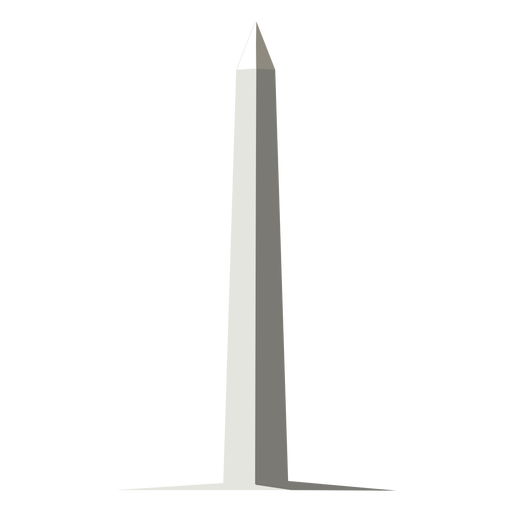
Design de marcos da cidade de Nova York Desenho PNG
Escolha uma pasta
Todos os favoritos
Criar novo
Salvar
Design de marcos da cidade de Nova York Desenho PNG
Etiqueta EUA Desenho PNG
Escolha uma pasta
Todos os favoritos
Criar novo
Salvar
Etiqueta EUA Desenho PNG
Premium
O estado da Virgínia é mostrado Desenho PNG
Escolha uma pasta
Todos os favoritos
Criar novo
Salvar
O estado da Virgínia é mostrado Desenho PNG
Premium
Orçamento gratuito desde 1776 Desenho PNG
Escolha uma pasta
Todos os favoritos
Criar novo
Salvar
Orçamento gratuito desde 1776 Desenho PNG
Premium
A aventura está aí, vá encontrá-la no mapa dos EUA Desenho PNG
Escolha uma pasta
Todos os favoritos
Criar novo
Salvar
A aventura está aí, vá encontrá-la no mapa dos EUA Desenho PNG
Premium
Deus abençoe a América azul Desenho PNG
Escolha uma pasta
Todos os favoritos
Criar novo
Salvar
Deus abençoe a América azul Desenho PNG
Premium
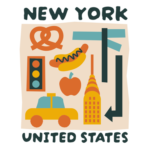
Ilustração estilizada de pontos turísticos da cidade de Nova York Desenho PNG
Escolha uma pasta
Todos os favoritos
Criar novo
Salvar
Ilustração estilizada de pontos turísticos da cidade de Nova York Desenho PNG
Silhueta de mapa de Wisconsin EUA Desenho PNG
Escolha uma pasta
Todos os favoritos
Criar novo
Salvar
Silhueta de mapa de Wisconsin EUA Desenho PNG
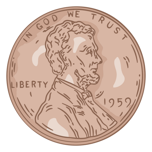
Cabeça de ilustração de centavo Desenho PNG
Escolha uma pasta
Todos os favoritos
Criar novo
Salvar
Cabeça de ilustração de centavo Desenho PNG
Silhueta de mapa do Texas EUA Desenho PNG
Escolha uma pasta
Todos os favoritos
Criar novo
Salvar
Silhueta de mapa do Texas EUA Desenho PNG
Premium
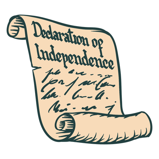
Declaração de independência rolagem desenhada à mão Desenho PNG
Escolha uma pasta
Todos os favoritos
Criar novo
Salvar
Declaração de independência rolagem desenhada à mão Desenho PNG
FourthOfJuly-AmericanHistory-VintageEtchPrint-VinylColor - 1 Desenho PNG
Escolha uma pasta
Todos os favoritos
Criar novo
Salvar
FourthOfJuly-AmericanHistory-VintageEtchPrint-VinylColor - 1 Desenho PNG
Premium
Bandeira dos EUA Desenho PNG
Escolha uma pasta
Todos os favoritos
Criar novo
Salvar
Bandeira dos EUA Desenho PNG
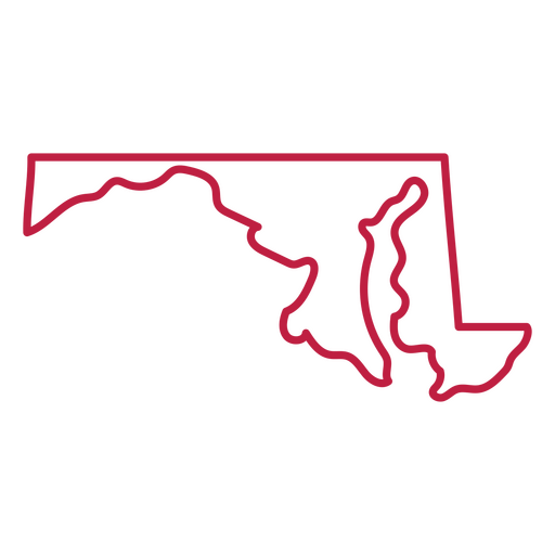
Mapa de acidente vascular cerebral do estado de Maryland Desenho PNG
Escolha uma pasta
Todos os favoritos
Criar novo
Salvar
Mapa de acidente vascular cerebral do estado de Maryland Desenho PNG
Premium
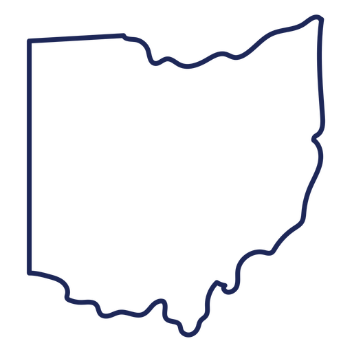
Mapa de acidente vascular cerebral do estado de Ohio Desenho PNG
Escolha uma pasta
Todos os favoritos
Criar novo
Salvar
Mapa de acidente vascular cerebral do estado de Ohio Desenho PNG
Premium
FourthOfJuly-AmericanHistory-VintageEtchPrint-VinylColor - 6 Desenho PNG
Escolha uma pasta
Todos os favoritos
Criar novo
Salvar
FourthOfJuly-AmericanHistory-VintageEtchPrint-VinylColor - 6 Desenho PNG
FourthofJuly-AmericaIcons-VintageMetal - 23 Desenho PNG
Escolha uma pasta
Todos os favoritos
Criar novo
Salvar
FourthofJuly-AmericaIcons-VintageMetal - 23 Desenho PNG
Bandeira americana preta Desenho PNG
Escolha uma pasta
Todos os favoritos
Criar novo
Salvar
Bandeira americana preta Desenho PNG
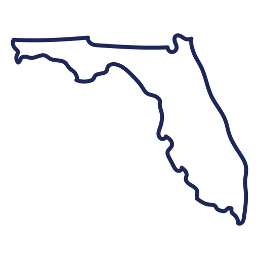
Curso de mapa da Flórida EUA Desenho PNG
Escolha uma pasta
Todos os favoritos
Criar novo
Salvar
Curso de mapa da Flórida EUA Desenho PNG
Lugares com letras em nashville Desenho PNG
Escolha uma pasta
Todos os favoritos
Criar novo
Salvar
Lugares com letras em nashville Desenho PNG
Bandeira dos EUA imprimir mapa Desenho PNG
Escolha uma pasta
Todos os favoritos
Criar novo
Salvar
Bandeira dos EUA imprimir mapa Desenho PNG
Premium
Design de sorvete com bandeira americana Desenho PNG
Escolha uma pasta
Todos os favoritos
Criar novo
Salvar
Design de sorvete com bandeira americana Desenho PNG
Silhueta do mapa de Ohio EUA Desenho PNG
Escolha uma pasta
Todos os favoritos
Criar novo
Salvar
Silhueta do mapa de Ohio EUA Desenho PNG
Letras escovadas Miami Desenho PNG
Escolha uma pasta
Todos os favoritos
Criar novo
Salvar
Letras escovadas Miami Desenho PNG
FourthofJuly-AmericaIcons-VintageMetal - 1 Desenho PNG
Escolha uma pasta
Todos os favoritos
Criar novo
Salvar
FourthofJuly-AmericaIcons-VintageMetal - 1 Desenho PNG
Premium
Bandeira americana Desenho PNG
Escolha uma pasta
Todos os favoritos
Criar novo
Salvar
Bandeira americana Desenho PNG
Premium
Bandeira dos Estados Unidos Desenho PNG
Escolha uma pasta
Todos os favoritos
Criar novo
Salvar
Bandeira dos Estados Unidos Desenho PNG
Mapa de acidente vascular cerebral do estado de Maine Desenho PNG
Escolha uma pasta
Todos os favoritos
Criar novo
Salvar
Mapa de acidente vascular cerebral do estado de Maine Desenho PNG
Silhueta do horizonte de Chicago Desenho PNG
Escolha uma pasta
Todos os favoritos
Criar novo
Salvar
Silhueta do horizonte de Chicago Desenho PNG
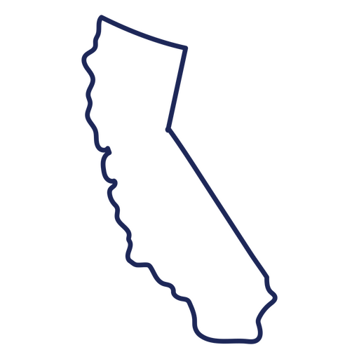
Traço de mapa dos EUA na Califórnia Desenho PNG
Escolha uma pasta
Todos os favoritos
Criar novo
Salvar
Traço de mapa dos EUA na Califórnia Desenho PNG
FourthofJuly-AmericaIcons-VintageMetal - 6 Desenho PNG
Escolha uma pasta
Todos os favoritos
Criar novo
Salvar
FourthofJuly-AmericaIcons-VintageMetal - 6 Desenho PNG
Mapa de acidente vascular cerebral do estado de Washington Desenho PNG
Escolha uma pasta
Todos os favoritos
Criar novo
Salvar
Mapa de acidente vascular cerebral do estado de Washington Desenho PNG
Silhueta de mapa de Michigan EUA Desenho PNG
Escolha uma pasta
Todos os favoritos
Criar novo
Salvar
Silhueta de mapa de Michigan EUA Desenho PNG
Premium
Silhueta do horizonte de Los Angeles Desenho PNG
Escolha uma pasta
Todos os favoritos
Criar novo
Salvar
Silhueta do horizonte de Los Angeles Desenho PNG
Mapa de acidente vascular cerebral do estado de Nova Jersey Desenho PNG
Escolha uma pasta
Todos os favoritos
Criar novo
Salvar
Mapa de acidente vascular cerebral do estado de Nova Jersey Desenho PNG
Skyline da cidade de los angeles Desenho PNG
Escolha uma pasta
Todos os favoritos
Criar novo
Salvar
Skyline da cidade de los angeles Desenho PNG
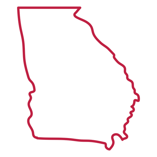
Curso de mapa da Geórgia EUA Desenho PNG
Escolha uma pasta
Todos os favoritos
Criar novo
Salvar
Curso de mapa da Geórgia EUA Desenho PNG
Mapa de acidente vascular cerebral do estado da Carolina do Norte Desenho PNG
Escolha uma pasta
Todos os favoritos
Criar novo
Salvar
Mapa de acidente vascular cerebral do estado da Carolina do Norte Desenho PNG
Letras retrô do Alasca Desenho PNG
Escolha uma pasta
Todos os favoritos
Criar novo
Salvar
Letras retrô do Alasca Desenho PNG
Mapa de acidente vascular cerebral do estado do Mississippi Desenho PNG
Escolha uma pasta
Todos os favoritos
Criar novo
Salvar
Mapa de acidente vascular cerebral do estado do Mississippi Desenho PNG
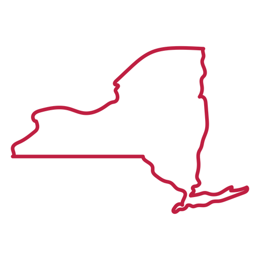
Mapa de acidente vascular cerebral do estado de Nova York Desenho PNG
Escolha uma pasta
Todos os favoritos
Criar novo
Salvar
Mapa de acidente vascular cerebral do estado de Nova York Desenho PNG
Silhueta do mapa eua da Louisiana Desenho PNG
Escolha uma pasta
Todos os favoritos
Criar novo
Salvar
Silhueta do mapa eua da Louisiana Desenho PNG
Impulsione seu negócio
Com a plataforma gráfica líder de mercado.
Ver planos
Próxima
do 30
prev page
next page