Biblioteca de design
Novos designs Merch
Camisetas
Vectores
Designs de Merch de Tendência
PNGs & SVGs
Mockups
Modelos de T-Shirt PSD
Explorar Desenhos
Designs KDP
Pôsteres
Canecas
Capas para celular
Sacos de compras
Almofadas
Ferramentas de desenho
Merch Designer
Novo!
Mockup Generator
Gerador de Design de AI
Vetorizador
Quote Generator
T-Shirt Maker (Antigo)
Ajuda
Merch Digest
Blog
Centro de Ajuda
Saiba mais sobre o Merch
Feedback
Soluções Corporativas
Empresa
Acesso à API
Estúdio de Design
Design em Lote
Preços
Carregando...
Inscrever-se
Conecte-se
Merch Vectors
states
Biblioteca de design
Novos designs Merch
Camisetas
Vectores
Designs de Merch de Tendência
PNGs & SVGs
Mockups
Modelos de T-Shirt PSD
Explorar Desenhos
Designs KDP
Pôsteres
Canecas
Capas para celular
Sacos de compras
Almofadas
Ferramentas de desenho
Merch Designer
Novo!
Mockup Generator
Gerador de Design de AI
Vetorizador
Quote Generator
T-Shirt Maker (Antigo)
Ajuda
Merch Digest
Blog
Centro de Ajuda
Saiba mais sobre o Merch
Feedback
Soluções Corporativas
Empresa
Acesso à API
Estúdio de Design
Design em Lote
PLANOS
Merch Vectors
states
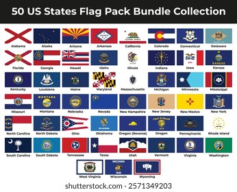
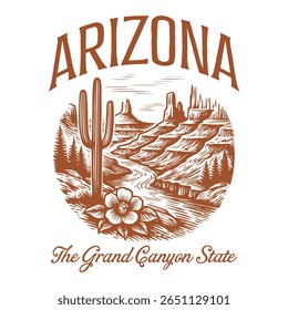
926 Designs Vetoriais de states para Camisetas e Merch
Baixar e comprar Designs Vetoriais AI de states para Camisetas, Capas do Celular, Capas do Livros e outros produtos Merch
Relacionado:
estados unidos
,
estados
,
bandeira dos estados unidos
Ordenar por
Mais relevante
Resultados patrocinados da
Ganhe 15% de desconto com o código: VEXELS15
veja mais detalhes
Premium
Projeto da bandeira da bandeira do Dia dos Veteranos
Escolha uma pasta
Todos os favoritos
Criar novo
Salvar
Projeto da bandeira da bandeira do Dia dos Veteranos
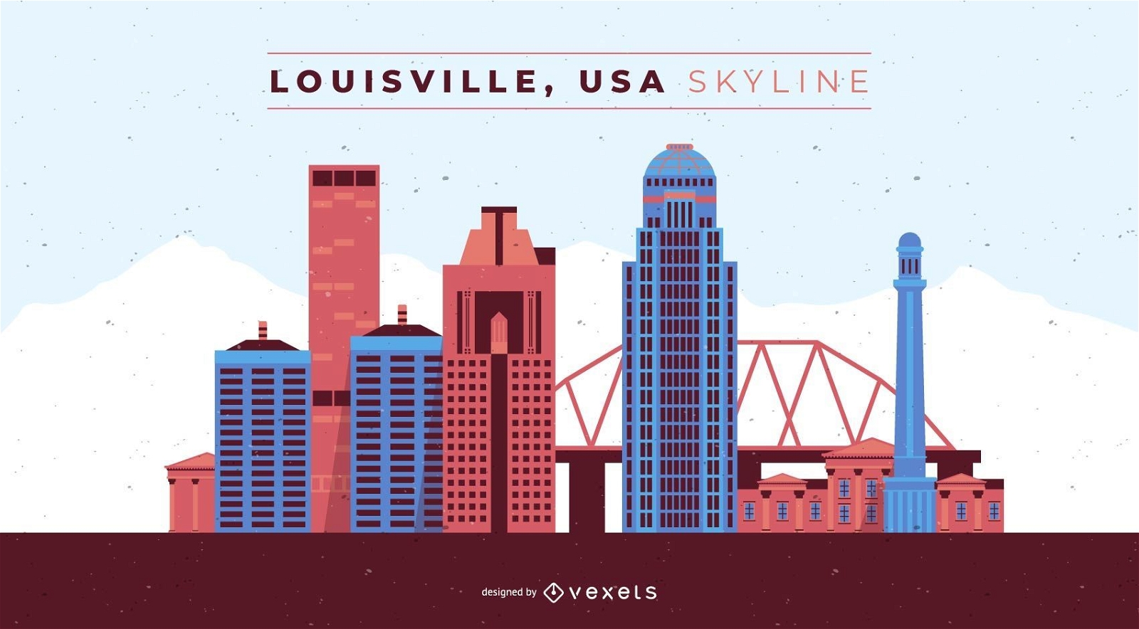
Louisville Kentucky Skyline
Escolha uma pasta
Todos os favoritos
Criar novo
Salvar
Louisville Kentucky Skyline
Premium
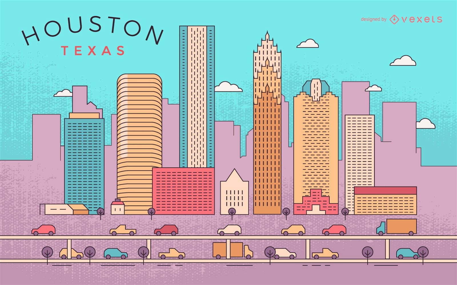
Horizonte colorido de Houston
Escolha uma pasta
Todos os favoritos
Criar novo
Salvar
Horizonte colorido de Houston
Premium
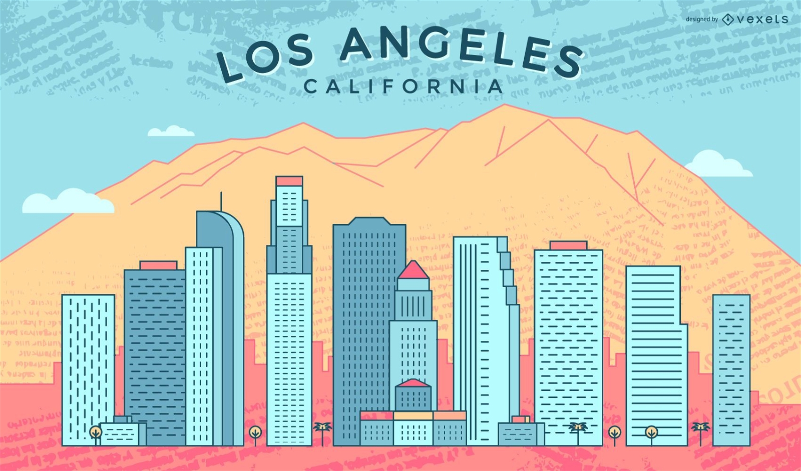
Horizonte colorido de Los Angeles
Escolha uma pasta
Todos os favoritos
Criar novo
Salvar
Horizonte colorido de Los Angeles
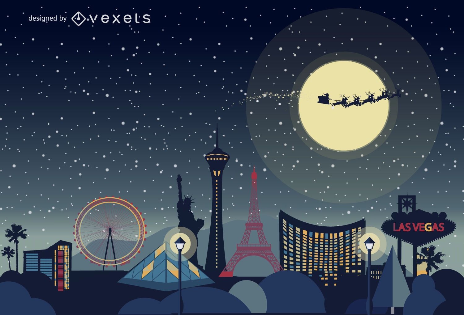
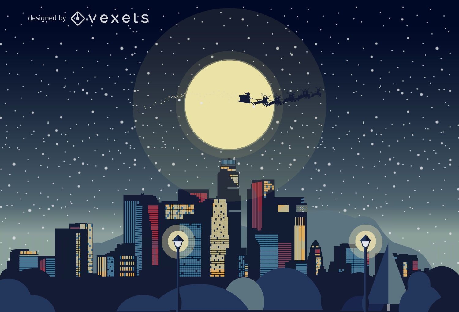
Horizonte de Natal de Las Vegas
Escolha uma pasta
Todos os favoritos
Criar novo
Salvar
Horizonte de Natal de Las Vegas
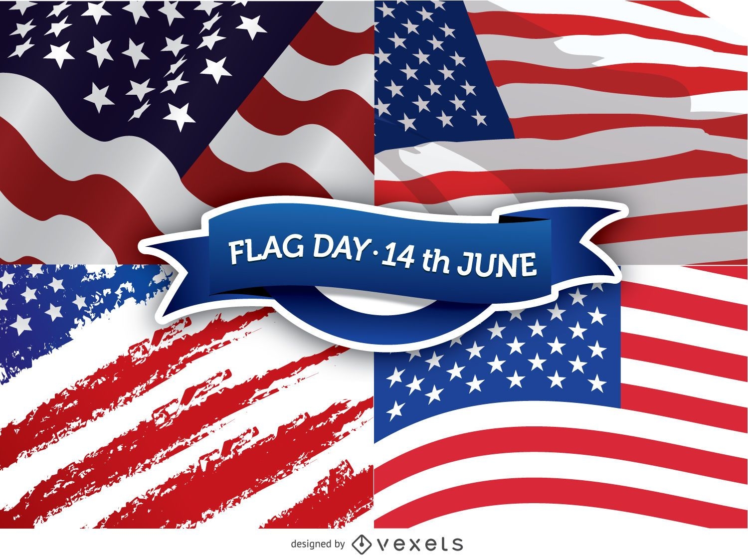
Dia da Bandeira - 14 de junho
Escolha uma pasta
Todos os favoritos
Criar novo
Salvar
Dia da Bandeira - 14 de junho
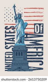
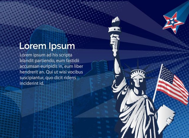
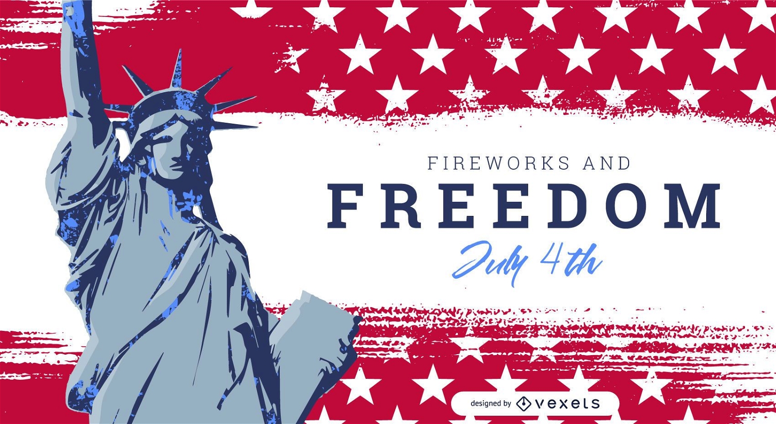
Statue Liberty USA
Escolha uma pasta
Todos os favoritos
Criar novo
Salvar
Statue Liberty USA
Skyline de Nova York de fogos de artifício de Natal
Escolha uma pasta
Todos os favoritos
Criar novo
Salvar
Skyline de Nova York de fogos de artifício de Natal
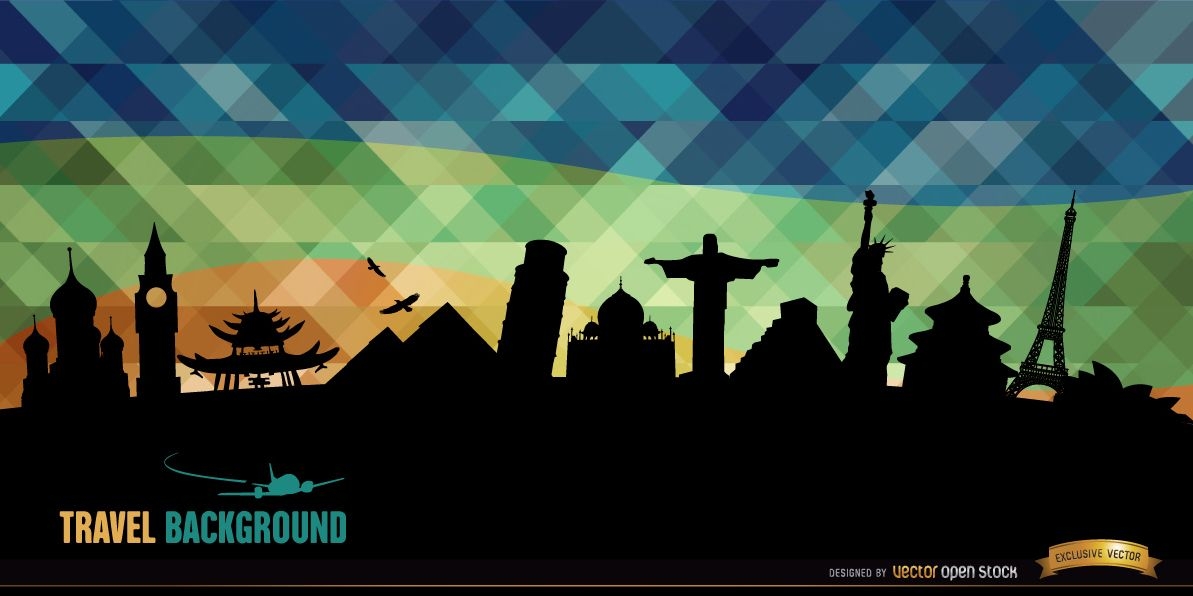
Fundo de silhuetas de monumentos mundiais
Escolha uma pasta
Todos os favoritos
Criar novo
Salvar
Fundo de silhuetas de monumentos mundiais
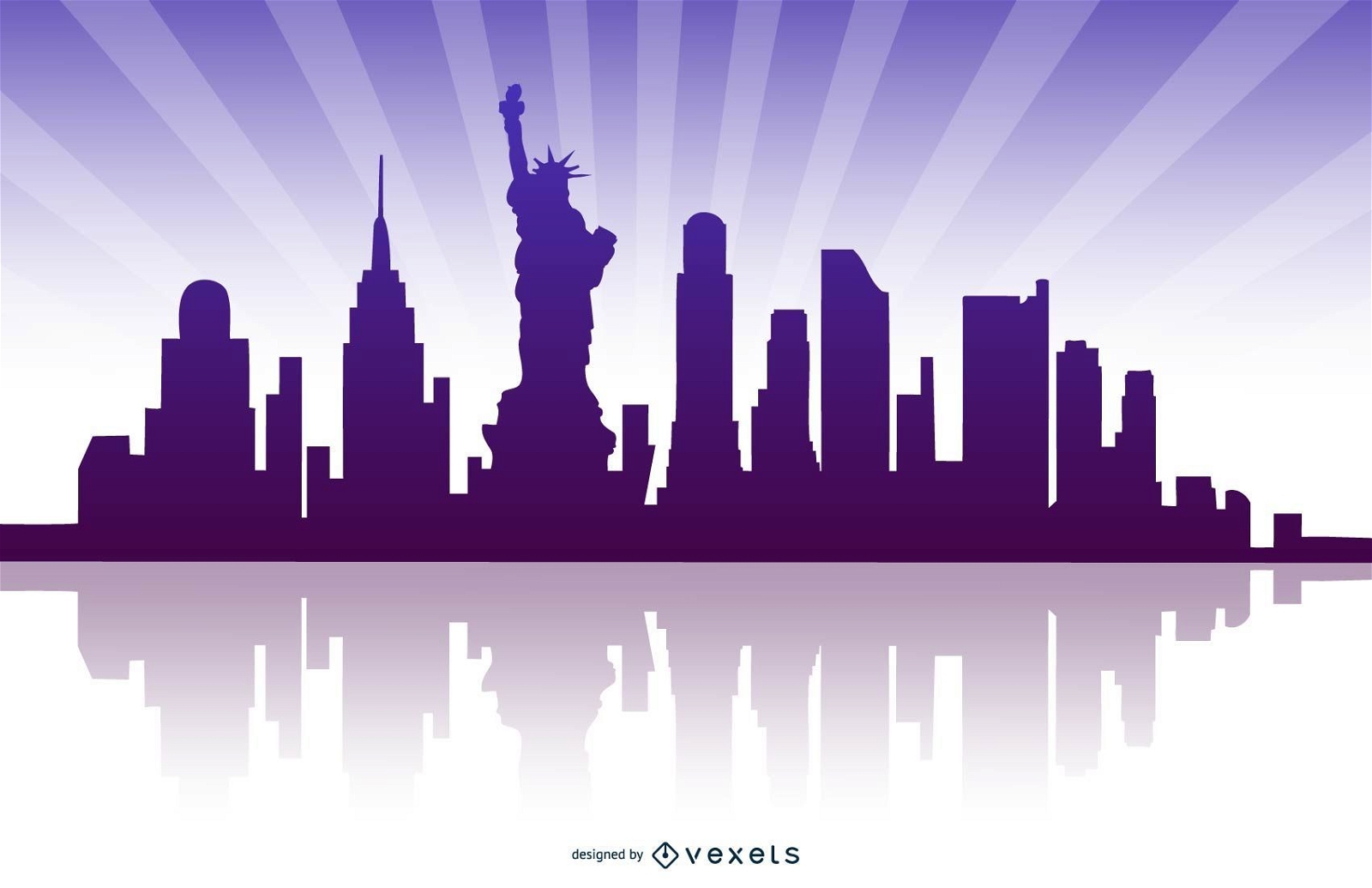
New York Reflected Skyline
Escolha uma pasta
Todos os favoritos
Criar novo
Salvar
New York Reflected Skyline
Premium
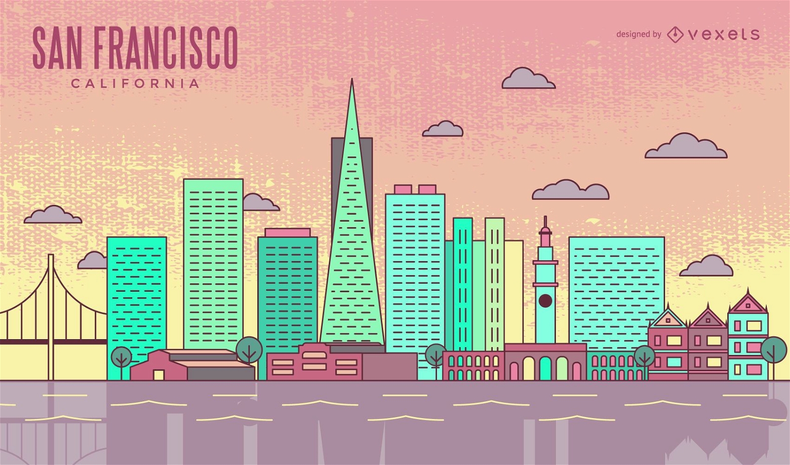
Linha do horizonte colorido de São Francisco
Escolha uma pasta
Todos os favoritos
Criar novo
Salvar
Linha do horizonte colorido de São Francisco
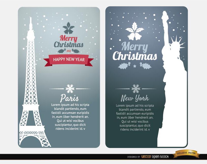
Cartões de feliz Natal Paris Nova York
Escolha uma pasta
Todos os favoritos
Criar novo
Salvar
Cartões de feliz Natal Paris Nova York
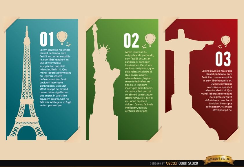
Cartões de referência França EUA Brasil
Escolha uma pasta
Todos os favoritos
Criar novo
Salvar
Cartões de referência França EUA Brasil
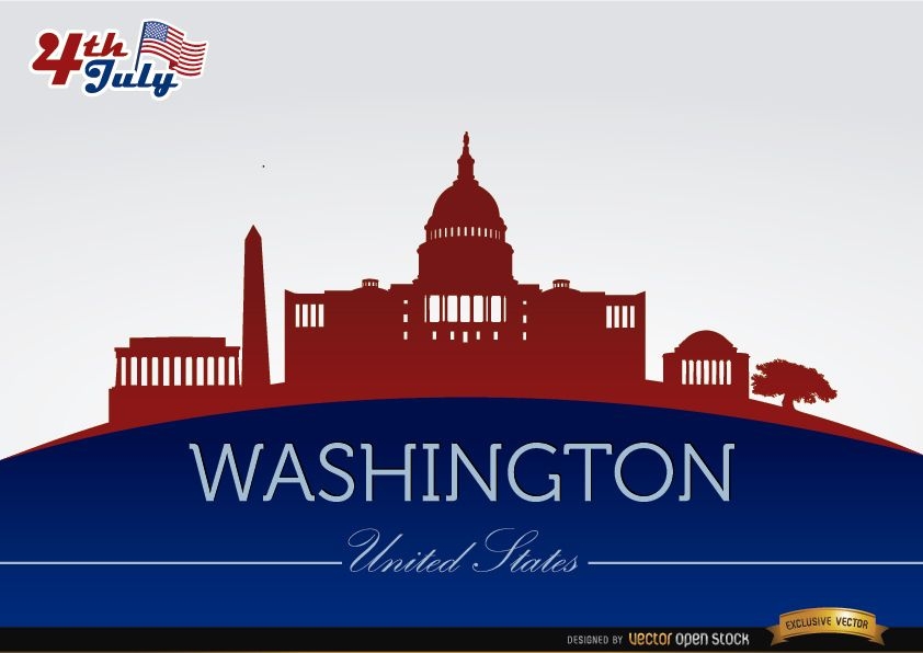
Silhuetas da cidade de Washington em 4 de julho
Escolha uma pasta
Todos os favoritos
Criar novo
Salvar
Silhuetas da cidade de Washington em 4 de julho
Premium
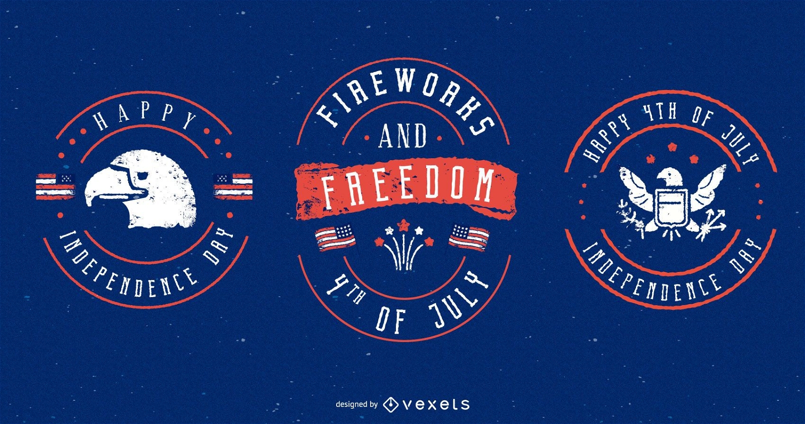
Conjunto de emblemas de 4 de julho
Escolha uma pasta
Todos os favoritos
Criar novo
Salvar
Conjunto de emblemas de 4 de julho
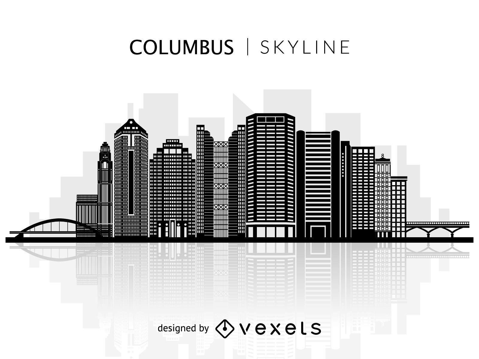
Silhueta do horizonte de Columbine
Escolha uma pasta
Todos os favoritos
Criar novo
Salvar
Silhueta do horizonte de Columbine
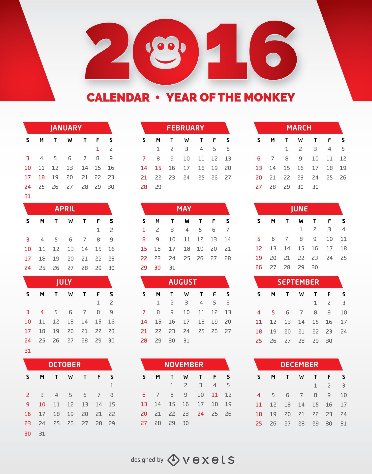
Calendário Vermelho e Branco 2016
Escolha uma pasta
Todos os favoritos
Criar novo
Salvar
Calendário Vermelho e Branco 2016
Vector Earth
Escolha uma pasta
Todos os favoritos
Criar novo
Salvar
Vector Earth
Premium
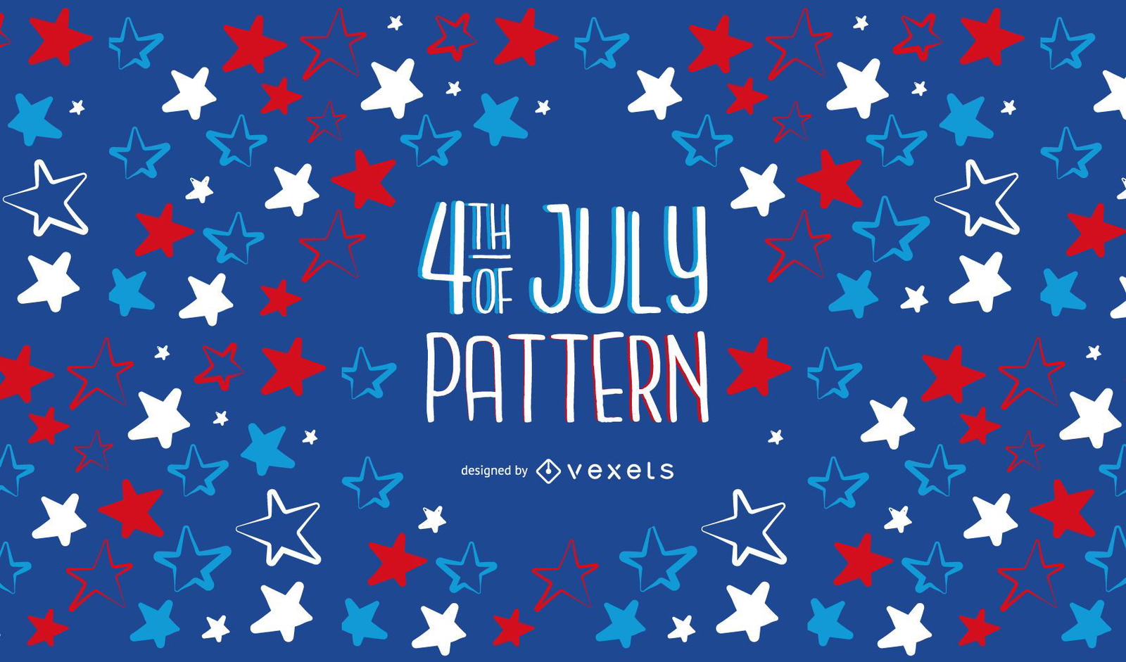
Design de padrão de 4 de julho
Escolha uma pasta
Todos os favoritos
Criar novo
Salvar
Design de padrão de 4 de julho
Premium
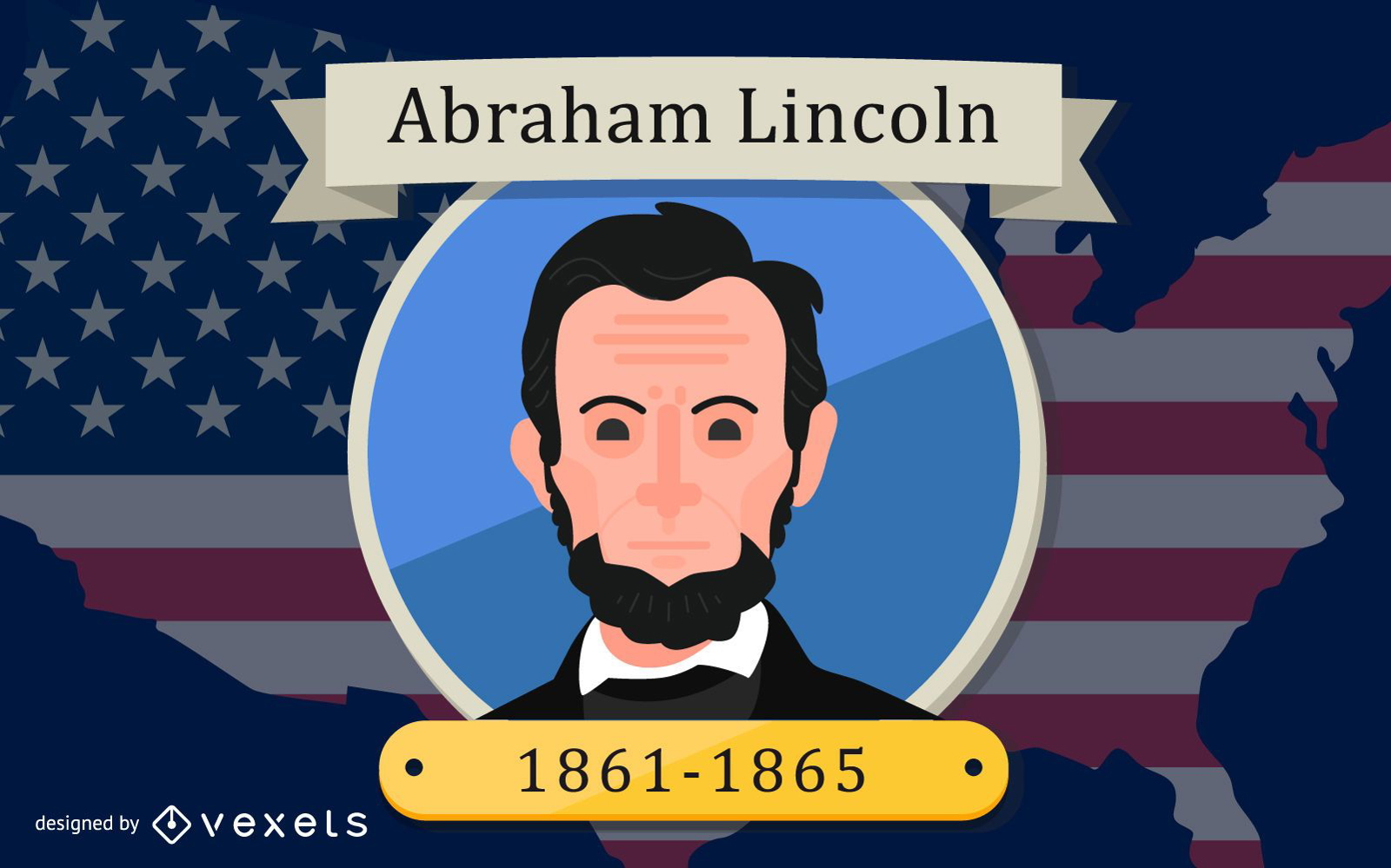
Design de Abraham Lincoln
Escolha uma pasta
Todos os favoritos
Criar novo
Salvar
Design de Abraham Lincoln
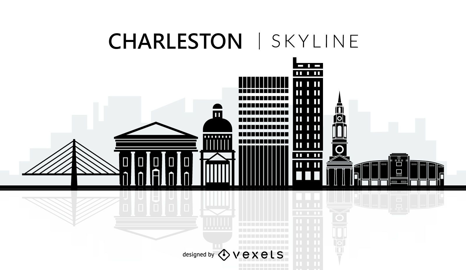
Silhueta do horizonte da cidade de Charleston
Escolha uma pasta
Todos os favoritos
Criar novo
Salvar
Silhueta do horizonte da cidade de Charleston
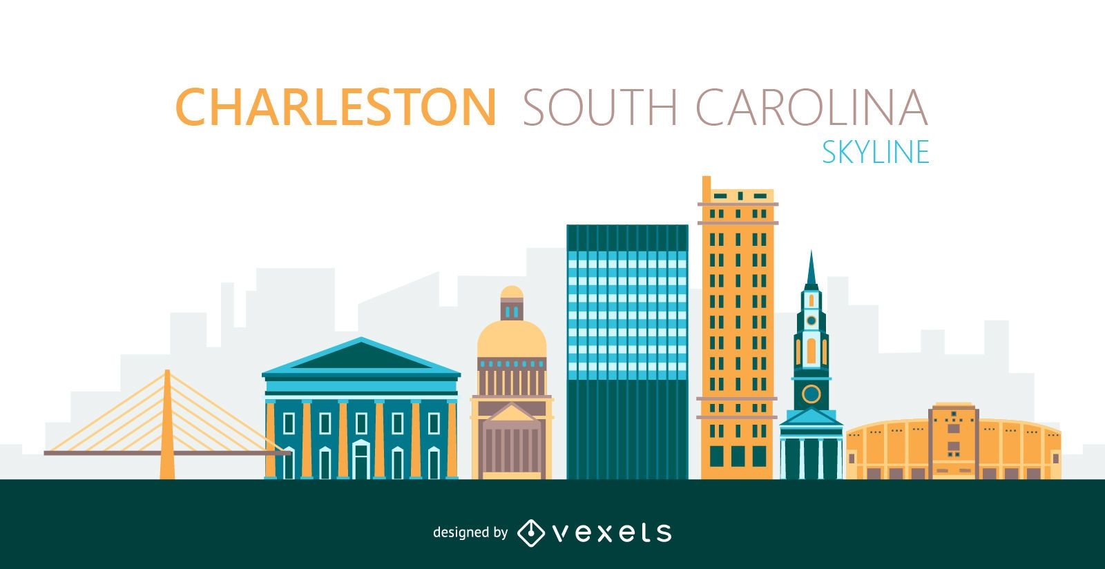
Ilustração do horizonte da cidade de Charleston
Escolha uma pasta
Todos os favoritos
Criar novo
Salvar
Ilustração do horizonte da cidade de Charleston
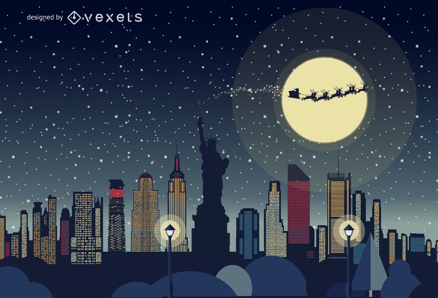
Horizonte de Natal de Nova York
Escolha uma pasta
Todos os favoritos
Criar novo
Salvar
Horizonte de Natal de Nova York
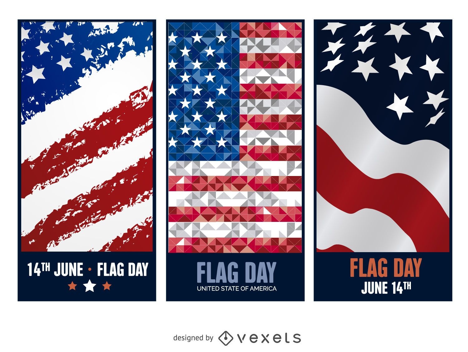
3 banners do Dia da Bandeira
Escolha uma pasta
Todos os favoritos
Criar novo
Salvar
3 banners do Dia da Bandeira
Fundo azul e dourado do vetor
Escolha uma pasta
Todos os favoritos
Criar novo
Salvar
Fundo azul e dourado do vetor
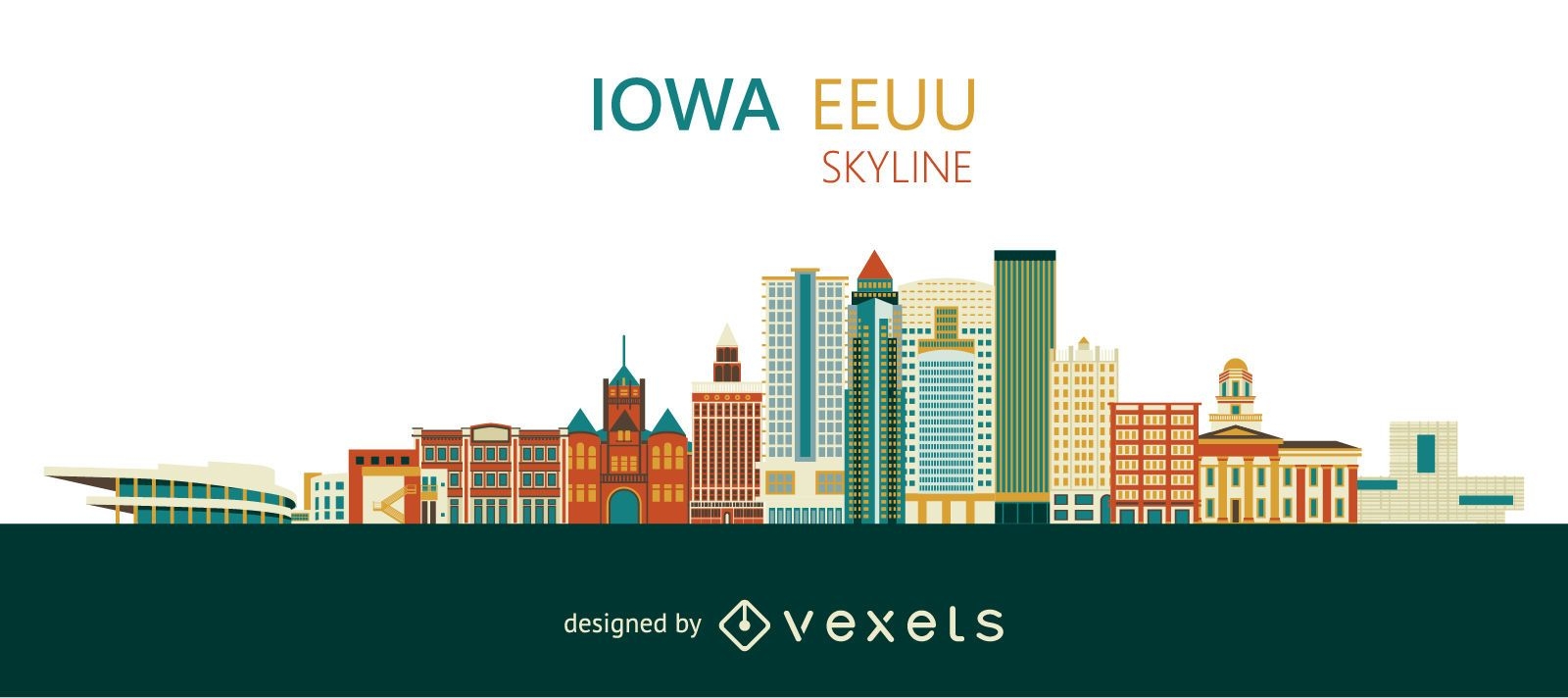
Projeto colorido do horizonte de Iowa
Escolha uma pasta
Todos os favoritos
Criar novo
Salvar
Projeto colorido do horizonte de Iowa
Ilustração do México 5 de maio
Escolha uma pasta
Todos os favoritos
Criar novo
Salvar
Ilustração do México 5 de maio
Conceito de negócio de crise
Escolha uma pasta
Todos os favoritos
Criar novo
Salvar
Conceito de negócio de crise
Premium
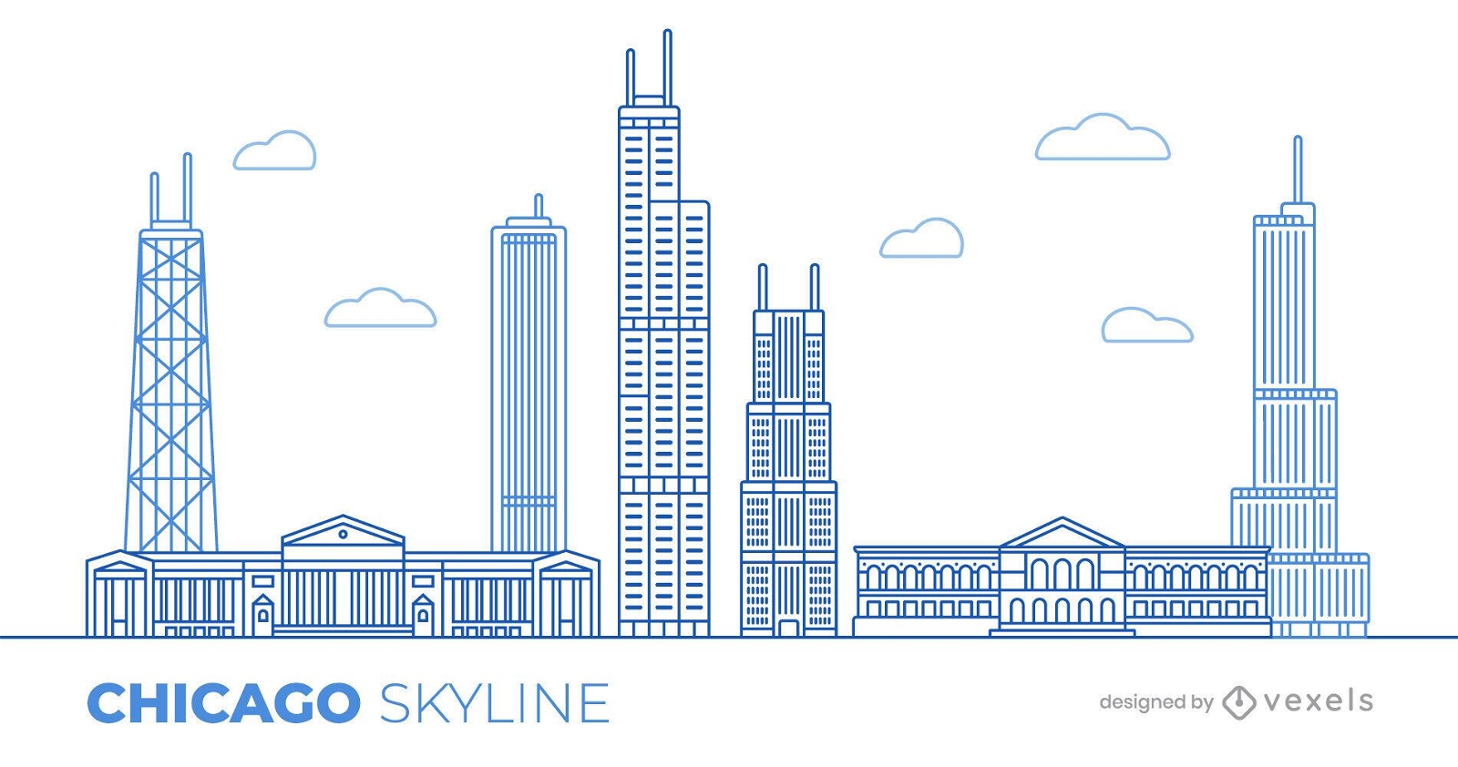
Desenho de ilustração do horizonte de Chicago
Escolha uma pasta
Todos os favoritos
Criar novo
Salvar
Desenho de ilustração do horizonte de Chicago
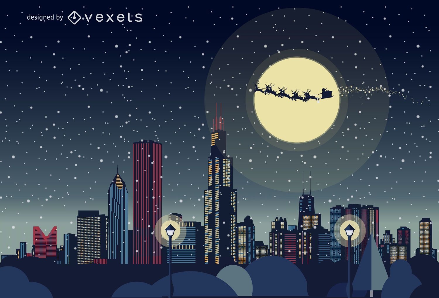
Horizonte de natal de Chicago
Escolha uma pasta
Todos os favoritos
Criar novo
Salvar
Horizonte de natal de Chicago
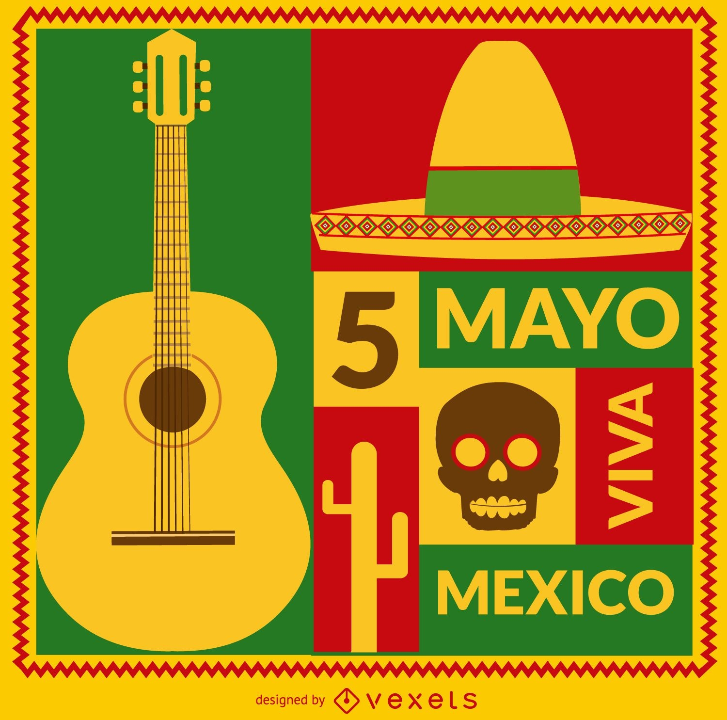
Cartão Viva Mexico 5 de mayo
Escolha uma pasta
Todos os favoritos
Criar novo
Salvar
Cartão Viva Mexico 5 de mayo
Premium
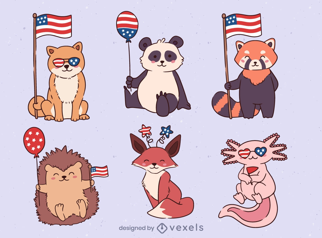
Patriot EUA animais cenografia
Escolha uma pasta
Todos os favoritos
Criar novo
Salvar
Patriot EUA animais cenografia
Premium
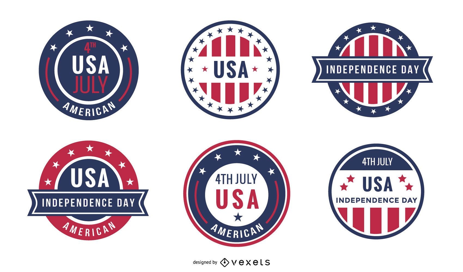
Conjunto de crachá do dia da independência dos EUA
Escolha uma pasta
Todos os favoritos
Criar novo
Salvar
Conjunto de crachá do dia da independência dos EUA
Copa América Centenário 2016
Escolha uma pasta
Todos os favoritos
Criar novo
Salvar
Copa América Centenário 2016
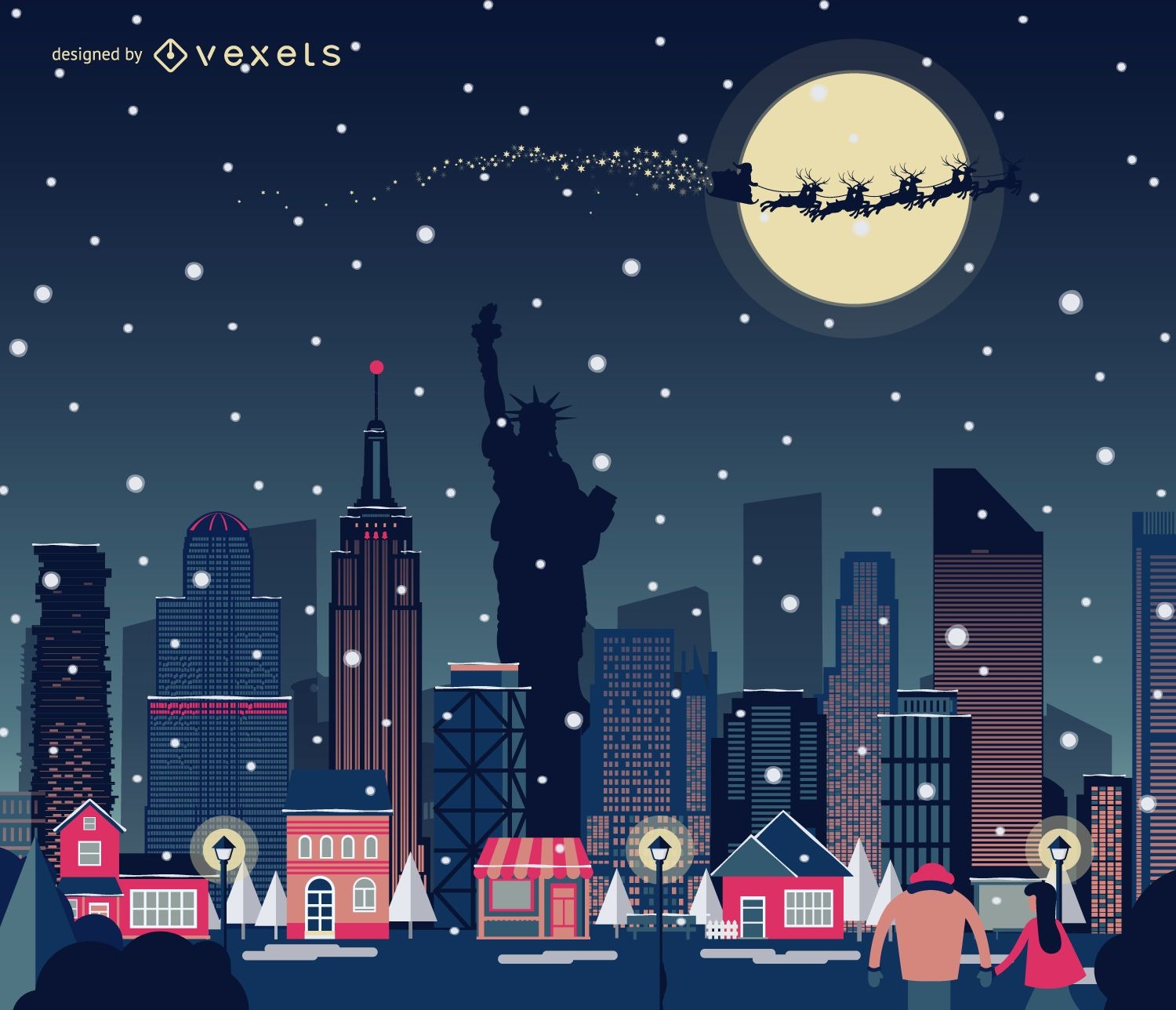
Horizonte de Natal de Nova York nevando
Escolha uma pasta
Todos os favoritos
Criar novo
Salvar
Horizonte de Natal de Nova York nevando
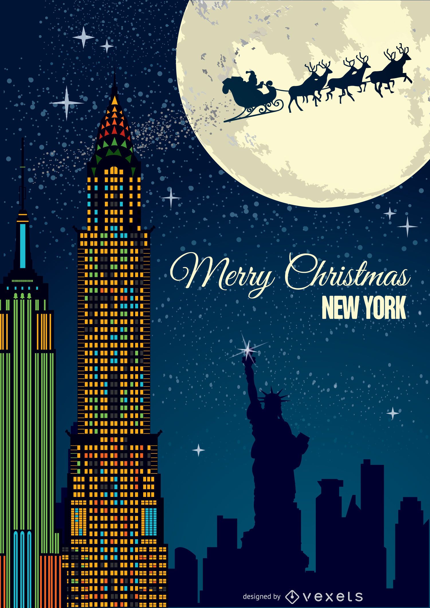
Cartão postal de Natal em Nova York
Escolha uma pasta
Todos os favoritos
Criar novo
Salvar
Cartão postal de Natal em Nova York
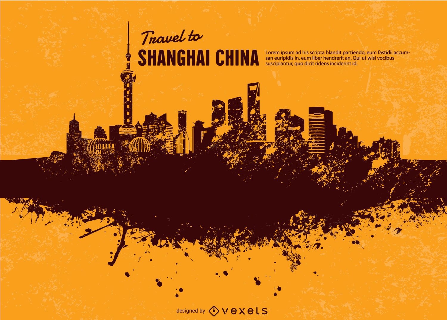
Paisagem grunge de Nova York
Escolha uma pasta
Todos os favoritos
Criar novo
Salvar
Paisagem grunge de Nova York
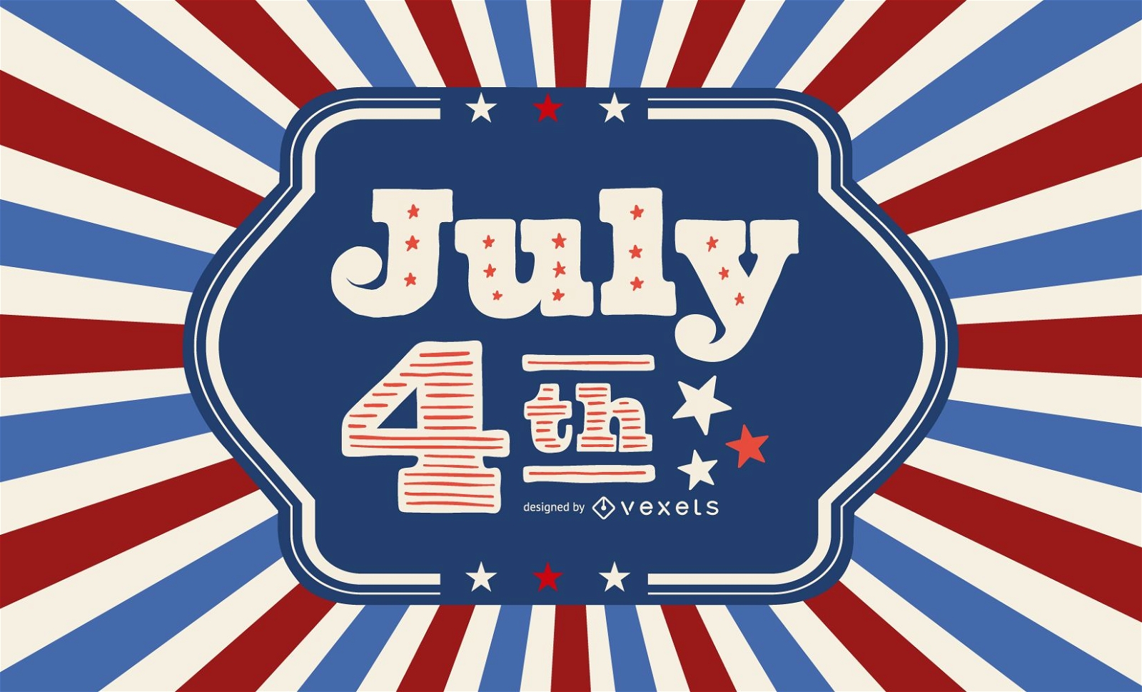
Cartão vintage do Dia da Independência dos EUA
Escolha uma pasta
Todos os favoritos
Criar novo
Salvar
Cartão vintage do Dia da Independência dos EUA
Premium
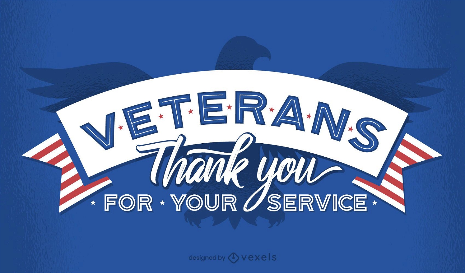
Veteranos obrigado desenho de letras
Escolha uma pasta
Todos os favoritos
Criar novo
Salvar
Veteranos obrigado desenho de letras
Premium
Modelo de controle deslizante de 4 de julho
Escolha uma pasta
Todos os favoritos
Criar novo
Salvar
Modelo de controle deslizante de 4 de julho
Premium
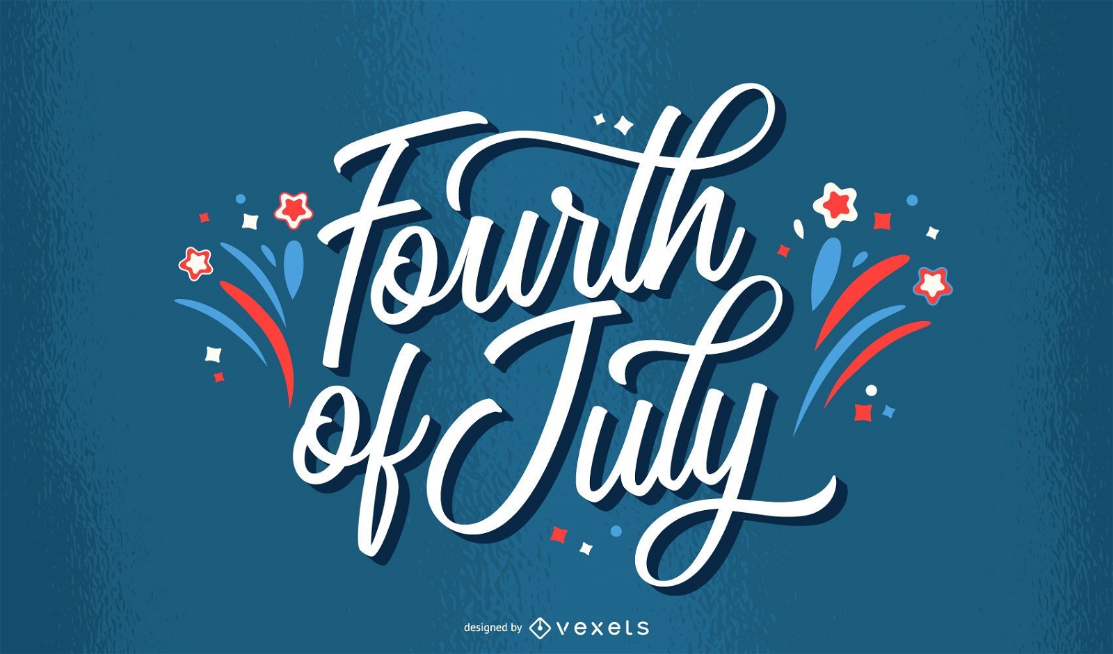
Feliz 4 de julho desenho de letras
Escolha uma pasta
Todos os favoritos
Criar novo
Salvar
Feliz 4 de julho desenho de letras
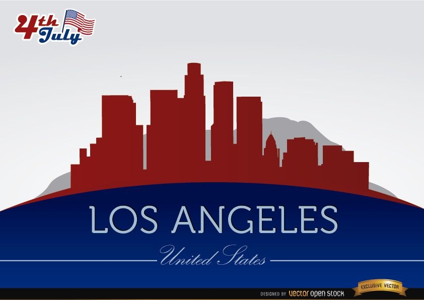
Silhuetas da cidade de Los Angeles em 4 de julho
Escolha uma pasta
Todos os favoritos
Criar novo
Salvar
Silhuetas da cidade de Los Angeles em 4 de julho
Premium
Pacote de construção do Chicago Flat Design
Escolha uma pasta
Todos os favoritos
Criar novo
Salvar
Pacote de construção do Chicago Flat Design
Premium
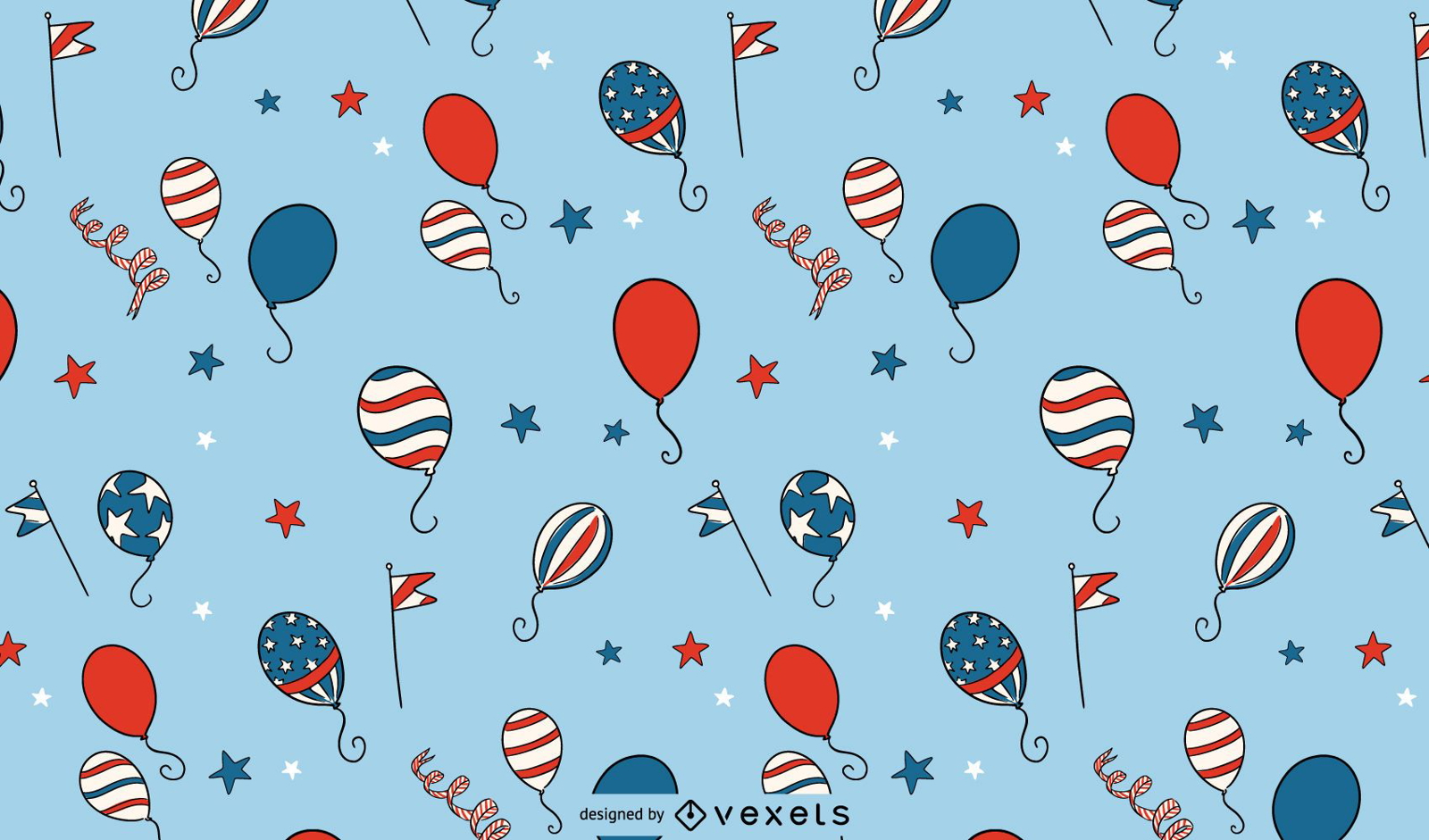
Padrão de balões do Dia da Independência
Escolha uma pasta
Todos os favoritos
Criar novo
Salvar
Padrão de balões do Dia da Independência
Premium
Letras de fogos de artifício de quatro de julho
Escolha uma pasta
Todos os favoritos
Criar novo
Salvar
Letras de fogos de artifício de quatro de julho
texto editável
Premium
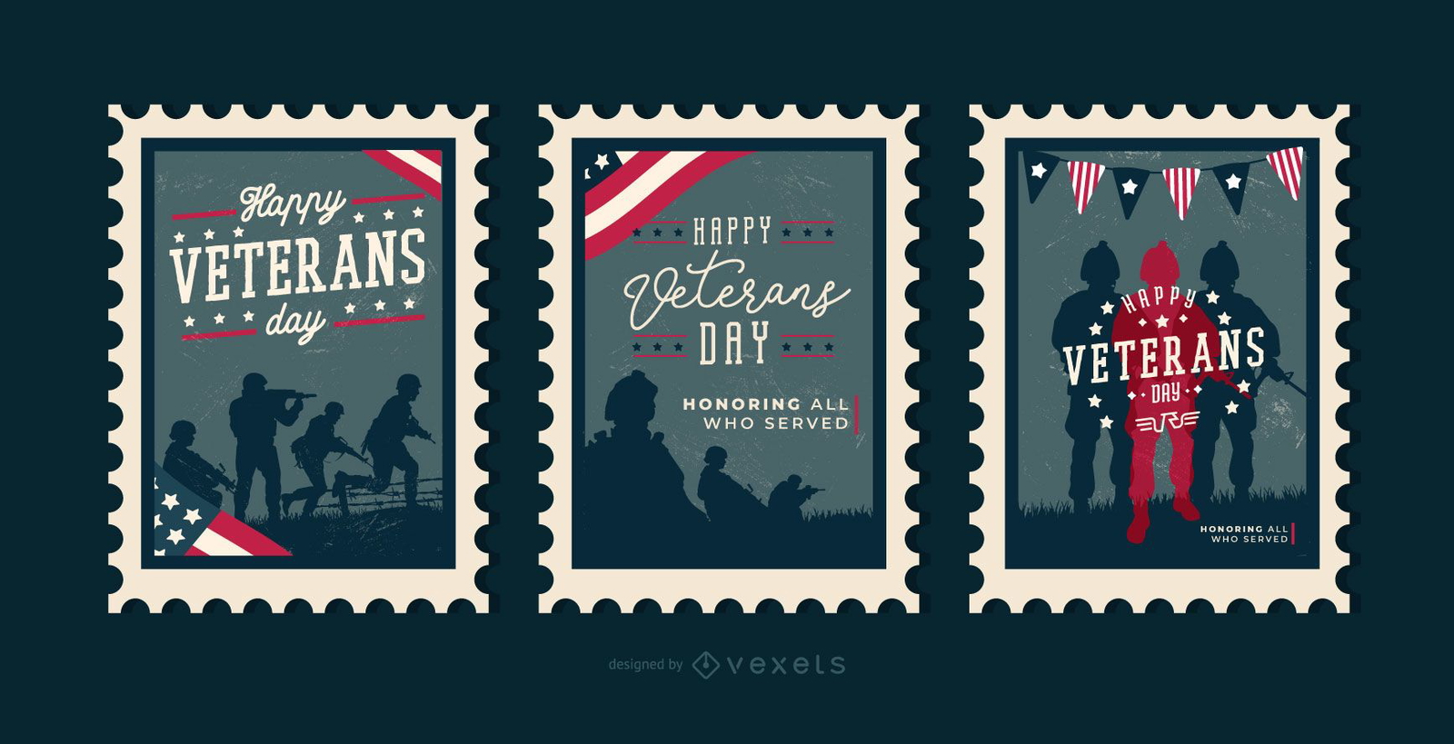
Selos editáveis do Dia dos Veteranos
Escolha uma pasta
Todos os favoritos
Criar novo
Salvar
Selos editáveis do Dia dos Veteranos
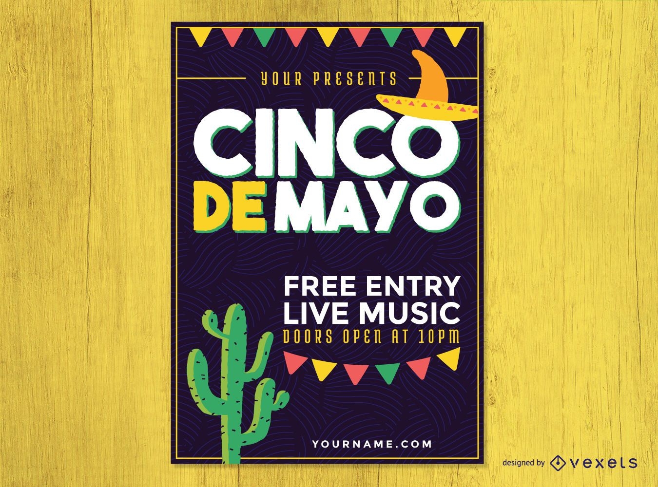
Cartaz da festa do Cinco de Mayo
Escolha uma pasta
Todos os favoritos
Criar novo
Salvar
Cartaz da festa do Cinco de Mayo
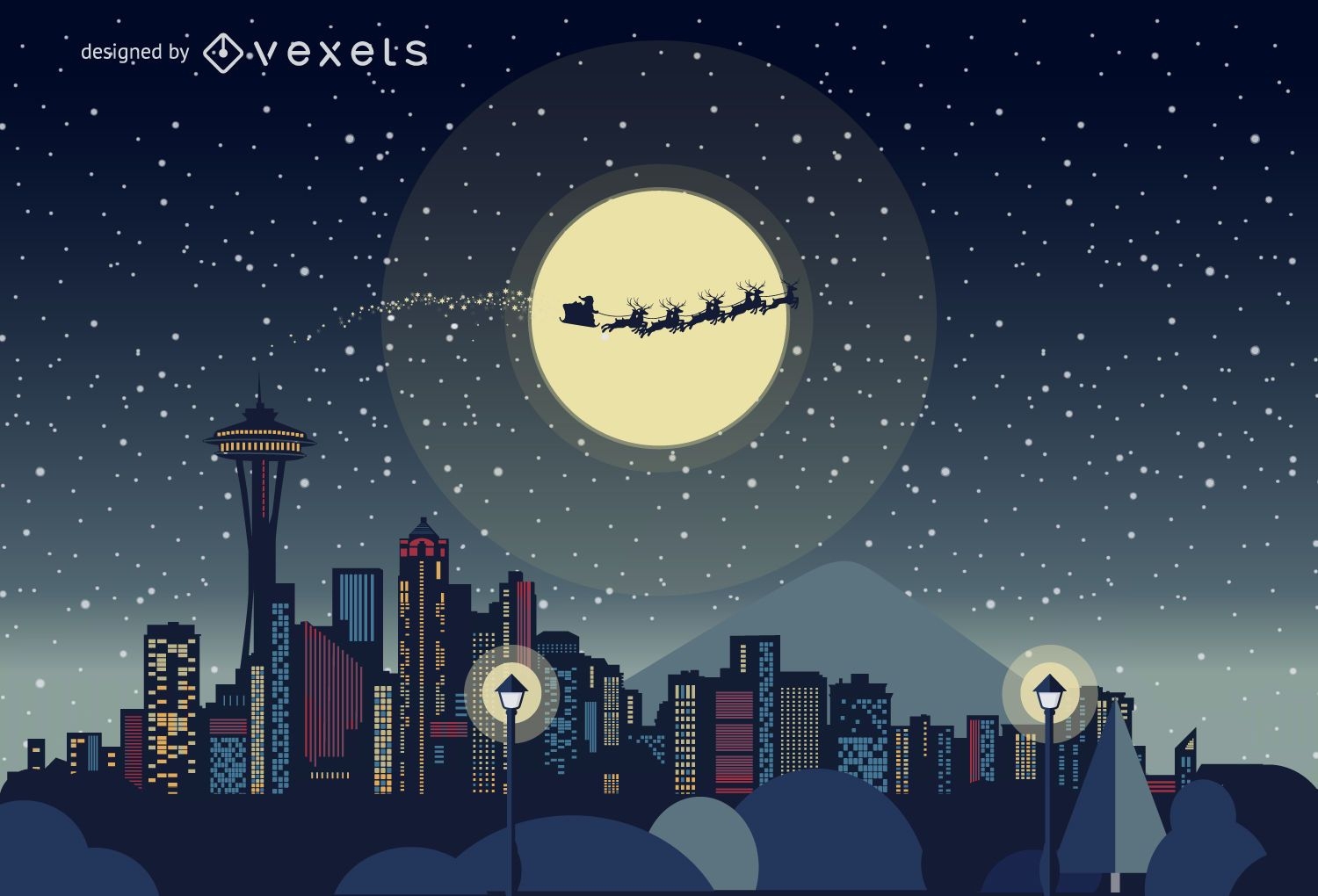
Horizonte de Natal de Seattle
Escolha uma pasta
Todos os favoritos
Criar novo
Salvar
Horizonte de Natal de Seattle
Horizonte de Natal de Los Angeles
Escolha uma pasta
Todos os favoritos
Criar novo
Salvar
Horizonte de Natal de Los Angeles
Ilustração do dia da bandeira dos EUA
Escolha uma pasta
Todos os favoritos
Criar novo
Salvar
Ilustração do dia da bandeira dos EUA
Impulsione seu negócio
Com a plataforma gráfica líder de mercado.
Ver planos
Próxima
do 19
prev page
next page