Biblioteca de design
Novos designs Merch
Camisetas
Vectores
Designs de Merch de Tendência
PNGs & SVGs
Mockups
Modelos de T-Shirt PSD
Explorar Desenhos
Designs KDP
Pôsteres
Canecas
Capas para celular
Sacos de compras
Almofadas
Ferramentas de desenho
Merch Designer
Novo!
Mockup Generator
Gerador de Design de AI
Vetorizador
Quote Generator
T-Shirt Maker (Antigo)
Ajuda
Merch Digest
Blog
Centro de Ajuda
Saiba mais sobre o Merch
Feedback
Soluções Corporativas
Empresa
Acesso à API
Estúdio de Design
Design em Lote
Preços
Carregando...
Inscrever-se
Conecte-se
Logos
mapa
Biblioteca de design
Novos designs Merch
Camisetas
Vectores
Designs de Merch de Tendência
PNGs & SVGs
Mockups
Modelos de T-Shirt PSD
Explorar Desenhos
Designs KDP
Pôsteres
Canecas
Capas para celular
Sacos de compras
Almofadas
Ferramentas de desenho
Merch Designer
Novo!
Mockup Generator
Gerador de Design de AI
Vetorizador
Quote Generator
T-Shirt Maker (Antigo)
Ajuda
Merch Digest
Blog
Centro de Ajuda
Saiba mais sobre o Merch
Feedback
Soluções Corporativas
Empresa
Acesso à API
Estúdio de Design
Design em Lote
PLANOS
Logos
mapa
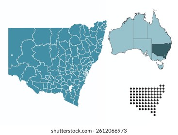
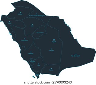
112 Design de Logotipos de mapa
Baixar Modelos de Design de Logotipos Editáveis de mapa
Relacionado:
mapa mundial
,
mapas
,
mapa global
Ordenar por
Mais relevante
Resultados patrocinados da
Ganhe 15% de desconto com o código: VEXELS15
veja mais detalhes
Ícone de localização do notebook Desenho PNG
Escolha uma pasta
Todos os favoritos
Criar novo
Salvar
Ícone de localização do notebook Desenho PNG
Premium
Globo rosa e branco Desenho PNG
Escolha uma pasta
Todos os favoritos
Criar novo
Salvar
Globo rosa e branco Desenho PNG
Premium
designs de etiquetas do dia da independência
Escolha uma pasta
Todos os favoritos
Criar novo
Salvar
designs de etiquetas do dia da independência
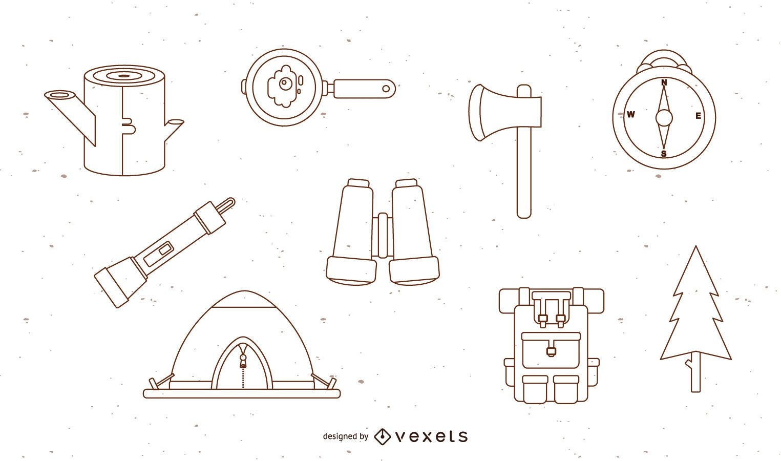
Conjunto de acampamento de vetor grátis
Escolha uma pasta
Todos os favoritos
Criar novo
Salvar
Conjunto de acampamento de vetor grátis
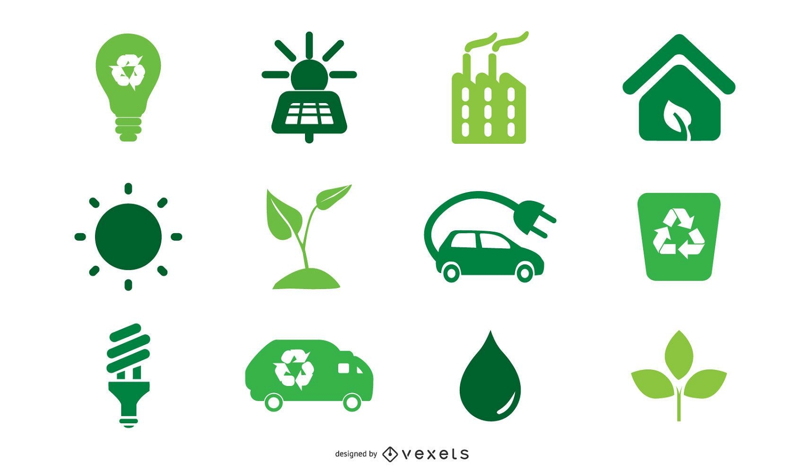
Ícones Verdes
Escolha uma pasta
Todos os favoritos
Criar novo
Salvar
Ícones Verdes
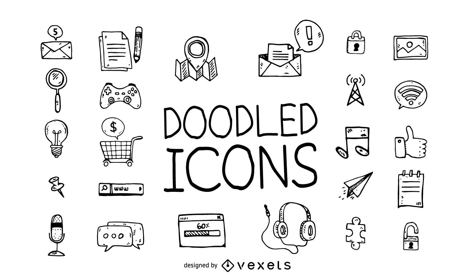
Conjunto de ícones do Doodle
Escolha uma pasta
Todos os favoritos
Criar novo
Salvar
Conjunto de ícones do Doodle
Premium
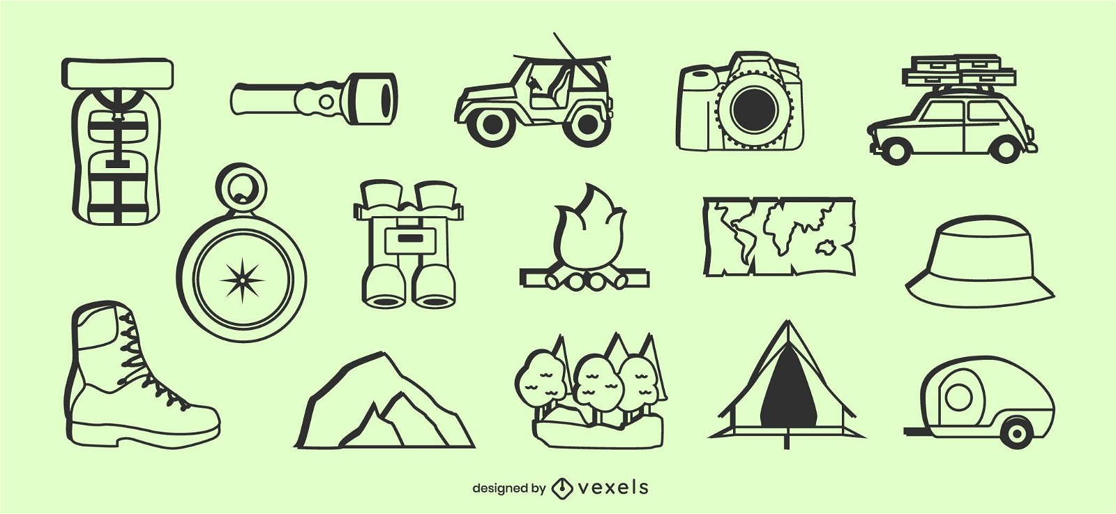
Conjunto de elementos de ícone de acampamento
Escolha uma pasta
Todos os favoritos
Criar novo
Salvar
Conjunto de elementos de ícone de acampamento
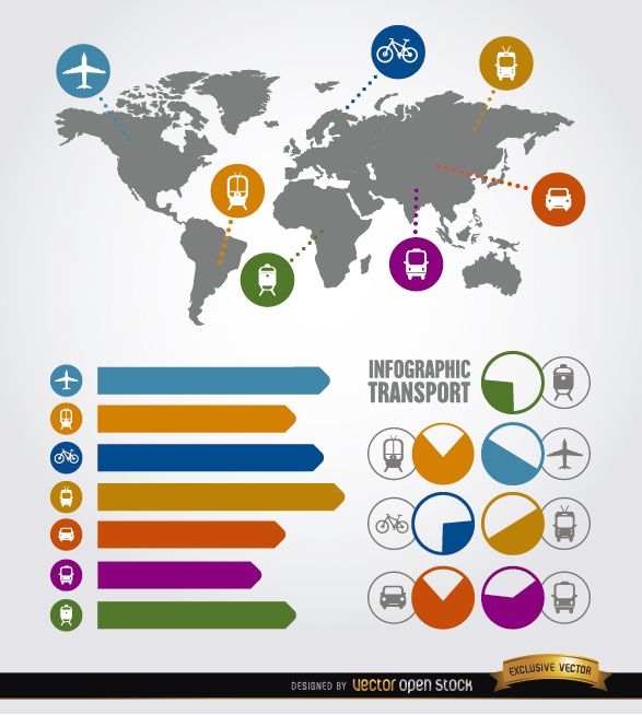
Elementos de transporte de infográfico de viagens
Escolha uma pasta
Todos os favoritos
Criar novo
Salvar
Elementos de transporte de infográfico de viagens
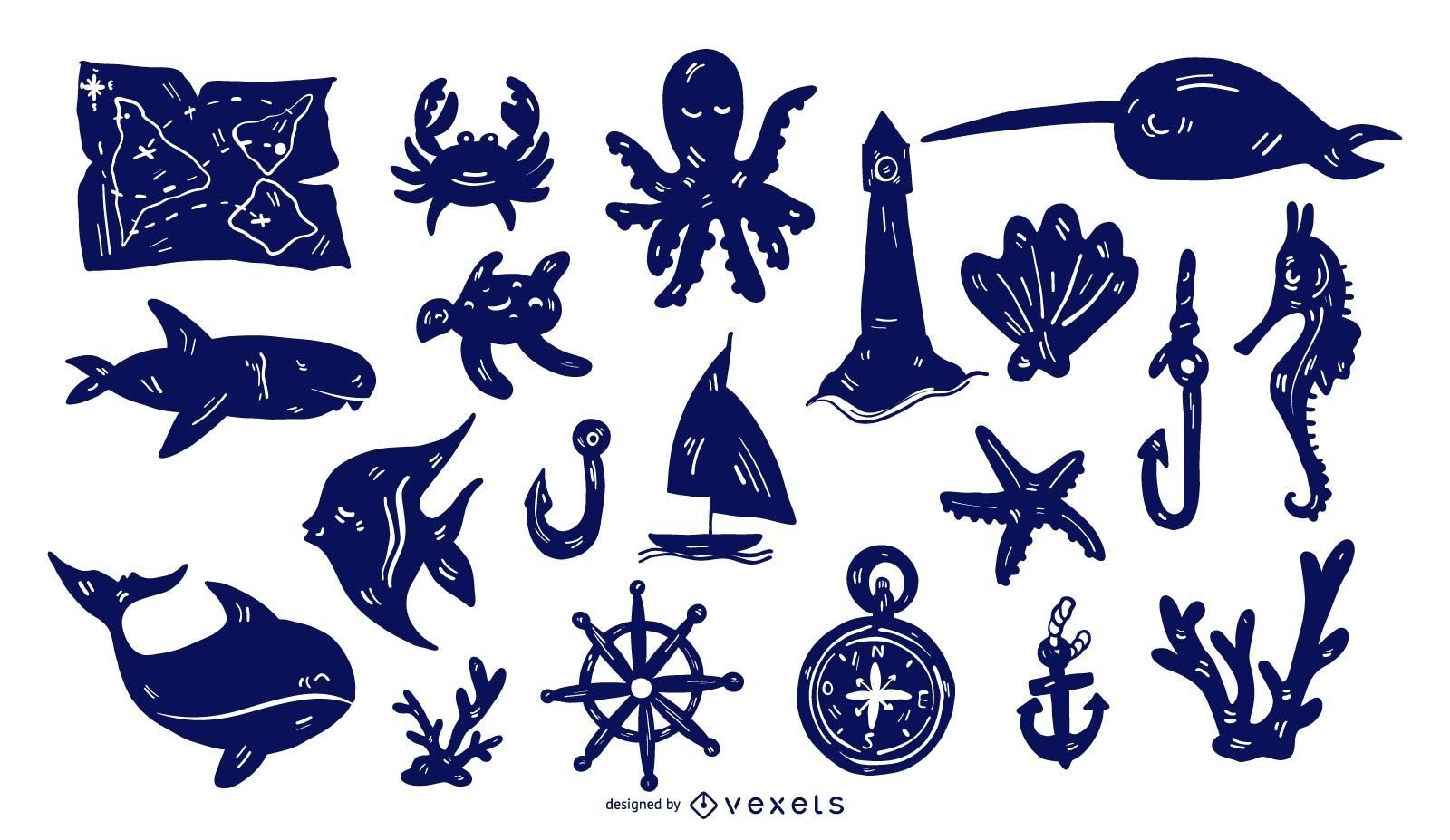
Conjunto de silhuetas detalhadas náuticas
Escolha uma pasta
Todos os favoritos
Criar novo
Salvar
Conjunto de silhuetas detalhadas náuticas
Premium
Conjunto de ícones planos de ciências sociais
Escolha uma pasta
Todos os favoritos
Criar novo
Salvar
Conjunto de ícones planos de ciências sociais
Premium
Ícone de cruz azul Desenho PNG
Escolha uma pasta
Todos os favoritos
Criar novo
Salvar
Ícone de cruz azul Desenho PNG
ícone de navegação 5 vetor
Escolha uma pasta
Todos os favoritos
Criar novo
Salvar
ícone de navegação 5 vetor
Inscreva-se
Para obter designs de uso comercial de alta qualidade para seus negócios
VER PLANOS
do 3
prev page
next page