Biblioteca de design
Novos designs Merch
Camisetas
Vectores
Designs de Merch de Tendência
PNGs & SVGs
Mockups
Modelos de T-Shirt PSD
Explorar Desenhos
Designs KDP
Pôsteres
Canecas
Capas para celular
Sacos de compras
Almofadas
Ferramentas de desenho
Merch Designer
Novo!
Mockup Generator
Gerador de Design de AI
Vetorizador
Quote Generator
T-Shirt Maker (Antigo)
Ajuda
Merch Digest
Blog
Centro de Ajuda
Saiba mais sobre o Merch
Feedback
Soluções Corporativas
Empresa
Acesso à API
Estúdio de Design
Design em Lote
Preços
Carregando...
Inscrever-se
Conecte-se
All
map
Biblioteca de design
Novos designs Merch
Camisetas
Vectores
Designs de Merch de Tendência
PNGs & SVGs
Mockups
Modelos de T-Shirt PSD
Explorar Desenhos
Designs KDP
Pôsteres
Canecas
Capas para celular
Sacos de compras
Almofadas
Ferramentas de desenho
Merch Designer
Novo!
Mockup Generator
Gerador de Design de AI
Vetorizador
Quote Generator
T-Shirt Maker (Antigo)
Ajuda
Merch Digest
Blog
Centro de Ajuda
Saiba mais sobre o Merch
Feedback
Soluções Corporativas
Empresa
Acesso à API
Estúdio de Design
Design em Lote
PLANOS
All
map
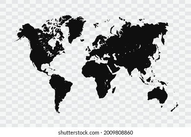
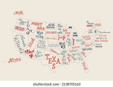
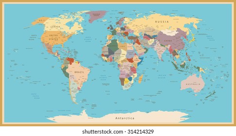
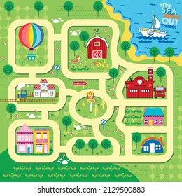
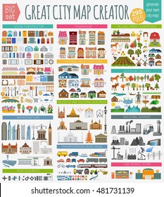
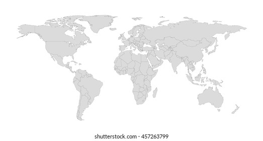
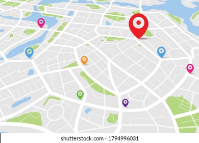
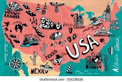
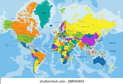
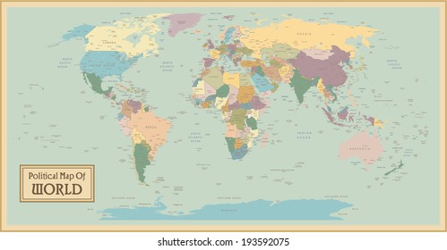
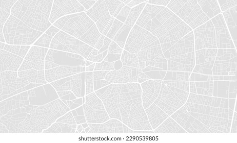
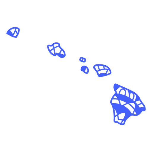
1845 Gráficos e Designs de map para Camisetas e Merch print on demand
Baixar designs de camisetas e para merch, como capas de livro, capas de celular, tote bags e mais de map
Relacionado:
mapa
,
mapas
,
mapeamento
Ordenar por
Mais relevante
Resultados patrocinados da
Ganhe 15% de desconto com o código: VEXELS15
veja mais detalhes
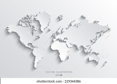
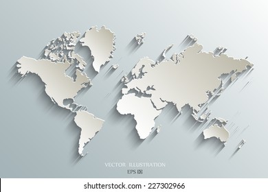
Traço plano do sol do mapa Desenho PNG
Escolha uma pasta
Todos os favoritos
Criar novo
Salvar
Traço plano do sol do mapa Desenho PNG
Premium
Pacote de tema náutico
Escolha uma pasta
Todos os favoritos
Criar novo
Salvar
Pacote de tema náutico
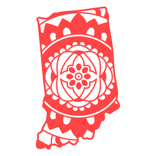
Mapa da mandala do estado de Minnesota Desenho PNG
Escolha uma pasta
Todos os favoritos
Criar novo
Salvar
Mapa da mandala do estado de Minnesota Desenho PNG
Curso de mapa de mandala do estado da Flórida Desenho PNG
Escolha uma pasta
Todos os favoritos
Criar novo
Salvar
Curso de mapa de mandala do estado da Flórida Desenho PNG
texto editável
Pronto para imprimir
para Merch
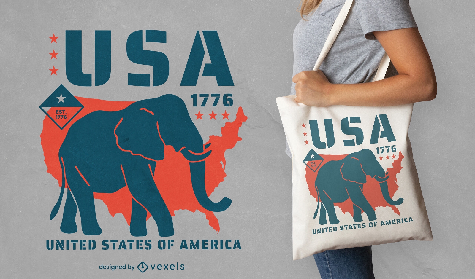
Design de bolsa de elefante republicano
Escolha uma pasta
Todos os favoritos
Criar novo
Salvar
Design de bolsa de elefante republicano
vetor de papel de parede 2010 áfrica do sul
Escolha uma pasta
Todos os favoritos
Criar novo
Salvar
vetor de papel de parede 2010 áfrica do sul
Gerado por IA, selecionado por nossos designers.
para Merch
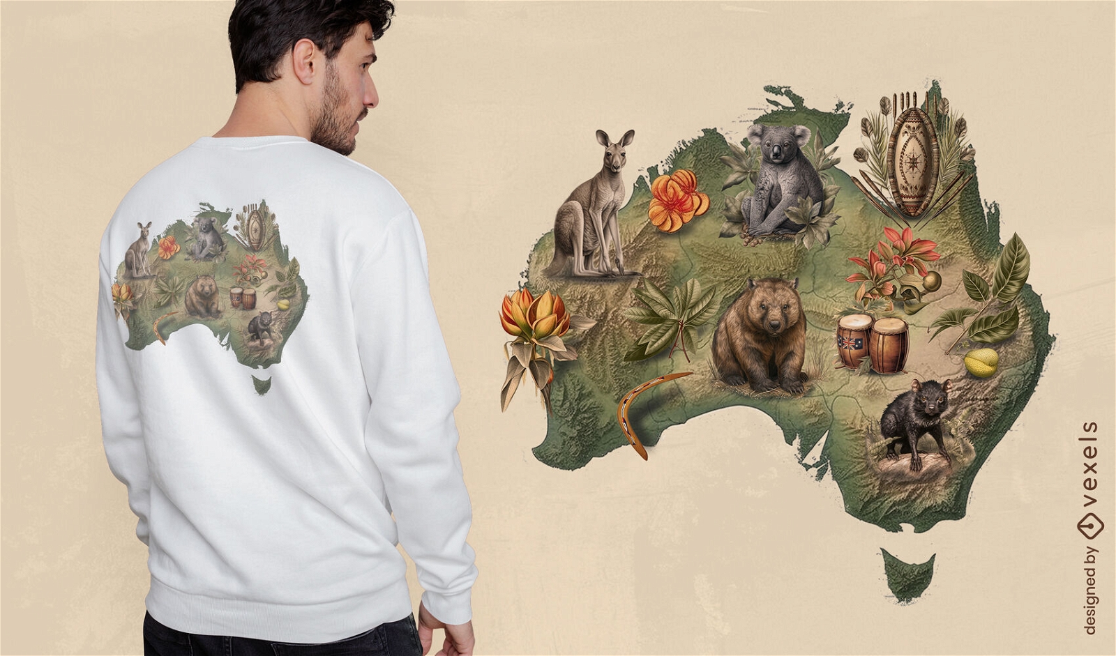
Design de camiseta da vida selvagem australiana
Escolha uma pasta
Todos os favoritos
Criar novo
Salvar
Design de camiseta da vida selvagem australiana
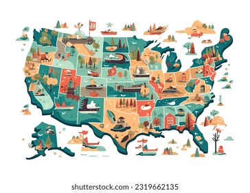
FourthofJuly-PhrasesUSAShape - 8 Desenho PNG
Escolha uma pasta
Todos os favoritos
Criar novo
Salvar
FourthofJuly-PhrasesUSAShape - 8 Desenho PNG
Mapa de acidente vascular cerebral do estado de Dakota do Norte Desenho PNG
Escolha uma pasta
Todos os favoritos
Criar novo
Salvar
Mapa de acidente vascular cerebral do estado de Dakota do Norte Desenho PNG
Mapa da mandala do estado do Kansas Desenho PNG
Escolha uma pasta
Todos os favoritos
Criar novo
Salvar
Mapa da mandala do estado do Kansas Desenho PNG
texto editável
Design de marketing local
Escolha uma pasta
Todos os favoritos
Criar novo
Salvar
Design de marketing local
Premium
Mapa do carnaval da Louisiana Desenho PNG
Escolha uma pasta
Todos os favoritos
Criar novo
Salvar
Mapa do carnaval da Louisiana Desenho PNG
Premium
O estado de vermont é mostrado Desenho PNG
Escolha uma pasta
Todos os favoritos
Criar novo
Salvar
O estado de vermont é mostrado Desenho PNG
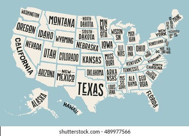
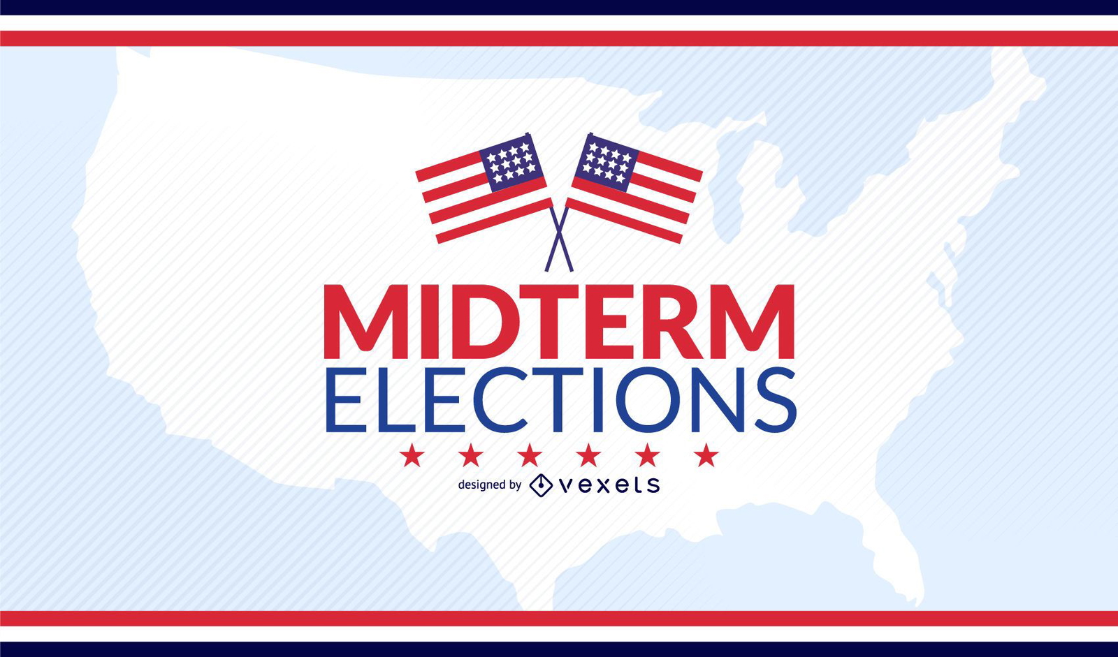
Projeto de eleições intercalares nos EUA
Escolha uma pasta
Todos os favoritos
Criar novo
Salvar
Projeto de eleições intercalares nos EUA
Curso de mapa de mandala do estado de Iowa Desenho PNG
Escolha uma pasta
Todos os favoritos
Criar novo
Salvar
Curso de mapa de mandala do estado de Iowa Desenho PNG
Premium
Projeto de Dados Infográfico COVID-19
Escolha uma pasta
Todos os favoritos
Criar novo
Salvar
Projeto de Dados Infográfico COVID-19
Panfleto do Dia da AIDS com o mundo dentro da fita vermelha
Escolha uma pasta
Todos os favoritos
Criar novo
Salvar
Panfleto do Dia da AIDS com o mundo dentro da fita vermelha
Mapa da mandala do estado de Iowa Desenho PNG
Escolha uma pasta
Todos os favoritos
Criar novo
Salvar
Mapa da mandala do estado de Iowa Desenho PNG
Curso de mapa de mandala do estado de Kentucky Desenho PNG
Escolha uma pasta
Todos os favoritos
Criar novo
Salvar
Curso de mapa de mandala do estado de Kentucky Desenho PNG
Curso de mapa de mandala do estado de Michigan Desenho PNG
Escolha uma pasta
Todos os favoritos
Criar novo
Salvar
Curso de mapa de mandala do estado de Michigan Desenho PNG
Pronto para imprimir
para Merch
Viajando pelo mundo Earth design de camiseta
Escolha uma pasta
Todos os favoritos
Criar novo
Salvar
Viajando pelo mundo Earth design de camiseta
Mapa da mandala do estado da Louisiana Desenho PNG
Escolha uma pasta
Todos os favoritos
Criar novo
Salvar
Mapa da mandala do estado da Louisiana Desenho PNG
Curso de mapa de mandala do estado de Massachusetts Desenho PNG
Escolha uma pasta
Todos os favoritos
Criar novo
Salvar
Curso de mapa de mandala do estado de Massachusetts Desenho PNG
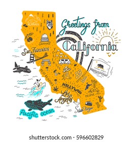
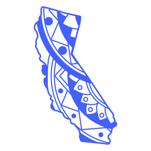
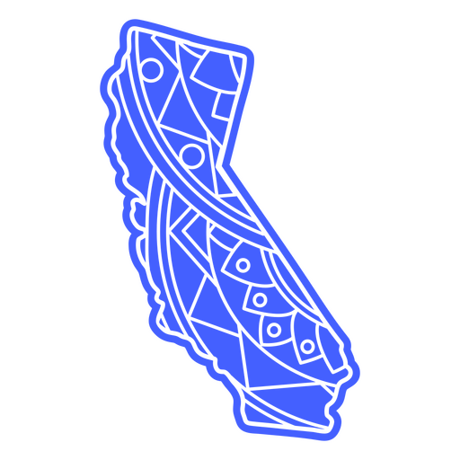
Curso de mapa de mandala do estado da Califórnia Desenho PNG
Escolha uma pasta
Todos os favoritos
Criar novo
Salvar
Curso de mapa de mandala do estado da Califórnia Desenho PNG
Curso de mapa de mandala do estado de Kansas Desenho PNG
Escolha uma pasta
Todos os favoritos
Criar novo
Salvar
Curso de mapa de mandala do estado de Kansas Desenho PNG
Curso de mapa de mandala do estado do Arizona Desenho PNG
Escolha uma pasta
Todos os favoritos
Criar novo
Salvar
Curso de mapa de mandala do estado do Arizona Desenho PNG
texto editável
Premium
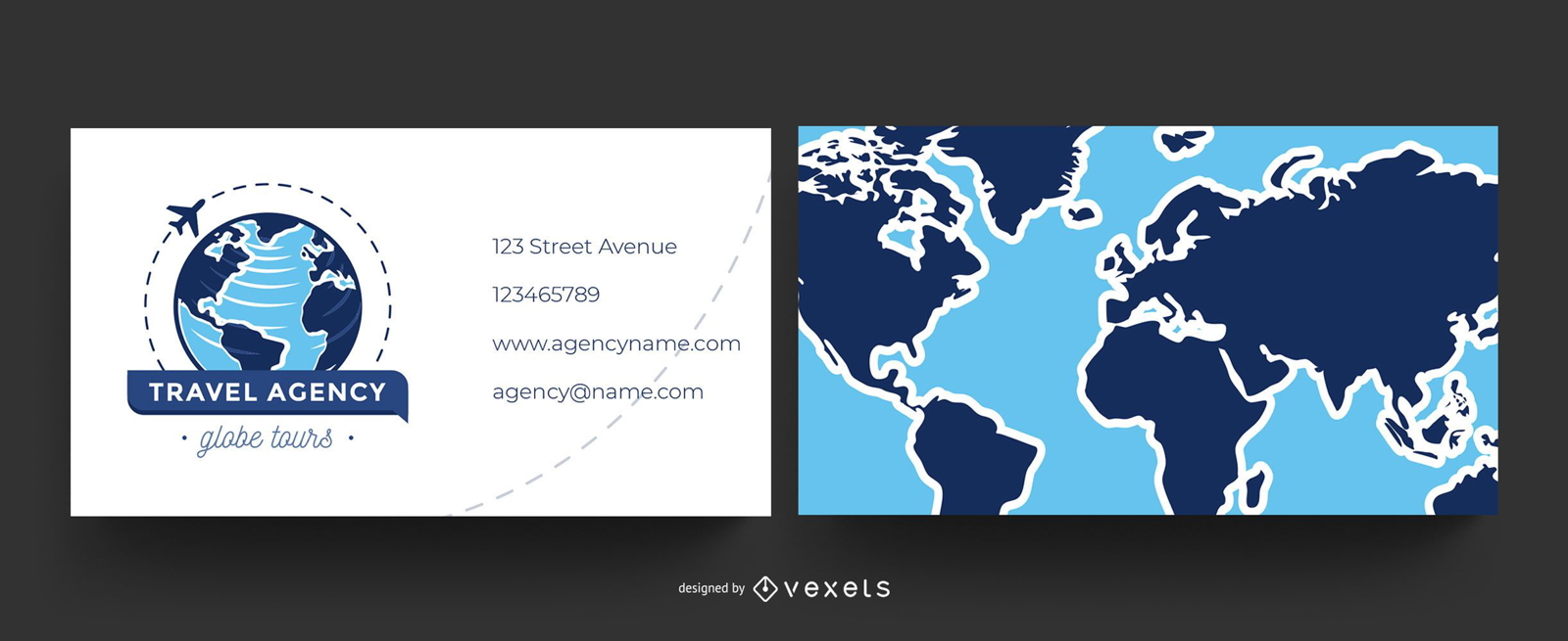
Cartão de negócios mundial para agências de viagens
Escolha uma pasta
Todos os favoritos
Criar novo
Salvar
Cartão de negócios mundial para agências de viagens
Premium
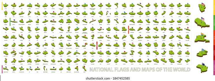
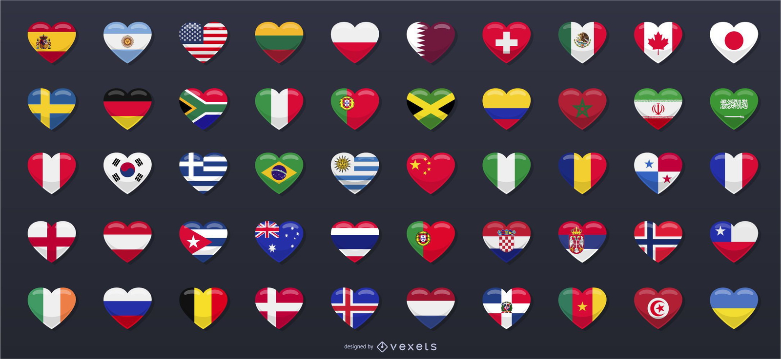
50 bandeiras do país em forma de coração
Escolha uma pasta
Todos os favoritos
Criar novo
Salvar
50 bandeiras do país em forma de coração
Elemento de mapa de mandala do estado do Alasca Desenho PNG
Escolha uma pasta
Todos os favoritos
Criar novo
Salvar
Elemento de mapa de mandala do estado do Alasca Desenho PNG
Marca completa
Premium
Modelo de logotipo de entrega de vegetais
Escolha uma pasta
Todos os favoritos
Criar novo
Salvar
Modelo de logotipo de entrega de vegetais
Joy Vector
Escolha uma pasta
Todos os favoritos
Criar novo
Salvar
Joy Vector
Mapa da mandala do estado de Idaho Desenho PNG
Escolha uma pasta
Todos os favoritos
Criar novo
Salvar
Mapa da mandala do estado de Idaho Desenho PNG
Curso de mapa de mandala do estado de Idaho Desenho PNG
Escolha uma pasta
Todos os favoritos
Criar novo
Salvar
Curso de mapa de mandala do estado de Idaho Desenho PNG
Mapa da mandala do estado de Kentucky Desenho PNG
Escolha uma pasta
Todos os favoritos
Criar novo
Salvar
Mapa da mandala do estado de Kentucky Desenho PNG
Mapa da mandala do estado de Michigan Desenho PNG
Escolha uma pasta
Todos os favoritos
Criar novo
Salvar
Mapa da mandala do estado de Michigan Desenho PNG
Mapa da mandala do estado de Arkansas Desenho PNG
Escolha uma pasta
Todos os favoritos
Criar novo
Salvar
Mapa da mandala do estado de Arkansas Desenho PNG
Mapa da mandala do estado do Arizona Desenho PNG
Escolha uma pasta
Todos os favoritos
Criar novo
Salvar
Mapa da mandala do estado do Arizona Desenho PNG
Curso de mapa de mandala do estado de Illinois Desenho PNG
Escolha uma pasta
Todos os favoritos
Criar novo
Salvar
Curso de mapa de mandala do estado de Illinois Desenho PNG
Curso de mapa de mandala do estado do Havaí Desenho PNG
Escolha uma pasta
Todos os favoritos
Criar novo
Salvar
Curso de mapa de mandala do estado do Havaí Desenho PNG
Sem conteúdo Desenho PNG
Escolha uma pasta
Todos os favoritos
Criar novo
Salvar
Sem conteúdo Desenho PNG
Premium
Desenho de ilustração de casal no parque
Escolha uma pasta
Todos os favoritos
Criar novo
Salvar
Desenho de ilustração de casal no parque
Mapa da mandala do estado da Califórnia Desenho PNG
Escolha uma pasta
Todos os favoritos
Criar novo
Salvar
Mapa da mandala do estado da Califórnia Desenho PNG
Premium
A bandeira da Arábia Saudita em seu mapa Desenho PNG
Escolha uma pasta
Todos os favoritos
Criar novo
Salvar
A bandeira da Arábia Saudita em seu mapa Desenho PNG
Premium
O estado de Nebraska é mostrado Desenho PNG
Escolha uma pasta
Todos os favoritos
Criar novo
Salvar
O estado de Nebraska é mostrado Desenho PNG
Mapa geométrico de Rhode Island Desenho PNG
Escolha uma pasta
Todos os favoritos
Criar novo
Salvar
Mapa geométrico de Rhode Island Desenho PNG
Elemento de mapa de mandala do estado de Missouri Desenho PNG
Escolha uma pasta
Todos os favoritos
Criar novo
Salvar
Elemento de mapa de mandala do estado de Missouri Desenho PNG
Elemento do mapa da mandala do estado de Massachusetts Desenho PNG
Escolha uma pasta
Todos os favoritos
Criar novo
Salvar
Elemento do mapa da mandala do estado de Massachusetts Desenho PNG
Elemento de mapa de mandala do estado de Maryland Desenho PNG
Escolha uma pasta
Todos os favoritos
Criar novo
Salvar
Elemento de mapa de mandala do estado de Maryland Desenho PNG
Mapa da mandala do estado do Maine Desenho PNG
Escolha uma pasta
Todos os favoritos
Criar novo
Salvar
Mapa da mandala do estado do Maine Desenho PNG
Mapa da mandala do estado da Geórgia Desenho PNG
Escolha uma pasta
Todos os favoritos
Criar novo
Salvar
Mapa da mandala do estado da Geórgia Desenho PNG
Impulsione seu negócio
Com a plataforma gráfica líder de mercado.
Ver planos
Próxima
do 37
prev page
next page