Biblioteca de design
Novos designs Merch
Camisetas
Vectores
Designs de Merch de Tendência
PNGs & SVGs
Mockups
Modelos de T-Shirt PSD
Explorar Desenhos
Designs KDP
Pôsteres
Canecas
Capas para celular
Sacos de compras
Almofadas
Ferramentas de desenho
Merch Designer
Novo!
Mockup Generator
Gerador de Design de AI
Vetorizador
Quote Generator
T-Shirt Maker (Antigo)
Ajuda
Merch Digest
Blog
Centro de Ajuda
Saiba mais sobre o Merch
Feedback
Soluções Corporativas
Empresa
Acesso à API
Estúdio de Design
Design em Lote
Preços
Carregando...
Inscrever-se
Conecte-se
All
subdivision
Biblioteca de design
Novos designs Merch
Camisetas
Vectores
Designs de Merch de Tendência
PNGs & SVGs
Mockups
Modelos de T-Shirt PSD
Explorar Desenhos
Designs KDP
Pôsteres
Canecas
Capas para celular
Sacos de compras
Almofadas
Ferramentas de desenho
Merch Designer
Novo!
Mockup Generator
Gerador de Design de AI
Vetorizador
Quote Generator
T-Shirt Maker (Antigo)
Ajuda
Merch Digest
Blog
Centro de Ajuda
Saiba mais sobre o Merch
Feedback
Soluções Corporativas
Empresa
Acesso à API
Estúdio de Design
Design em Lote
PLANOS
All
subdivision
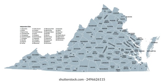
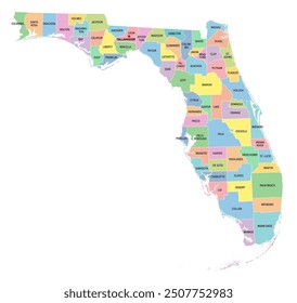
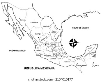
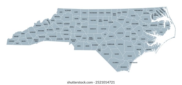
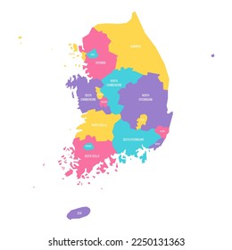
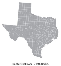
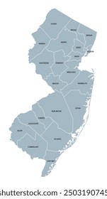
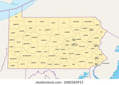
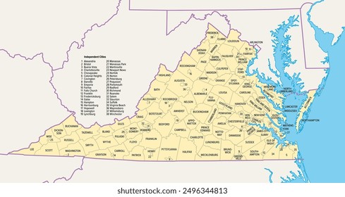
90 Gráficos e Designs de subdivision para Camisetas e Merch print on demand
Baixar designs de camisetas e para merch, como capas de livro, capas de celular, tote bags e mais de subdivision
Relacionado:
subdivisão
Ordenar por
Mais relevante
Resultados patrocinados da
Ganhe 15% de desconto com o código: VEXELS15
veja mais detalhes
Premium
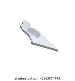
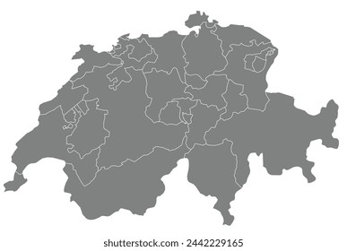
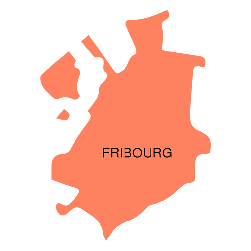
Mapa do cantão de Friburgo Desenho PNG
Escolha uma pasta
Todos os favoritos
Criar novo
Salvar
Mapa do cantão de Friburgo Desenho PNG
Premium
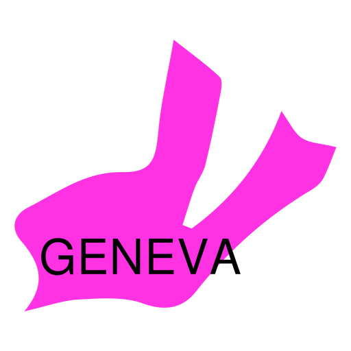
Mapa do cantão de Genebra Desenho PNG
Escolha uma pasta
Todos os favoritos
Criar novo
Salvar
Mapa do cantão de Genebra Desenho PNG
Premium
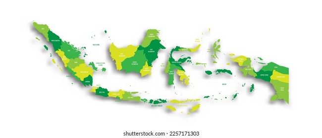
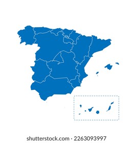
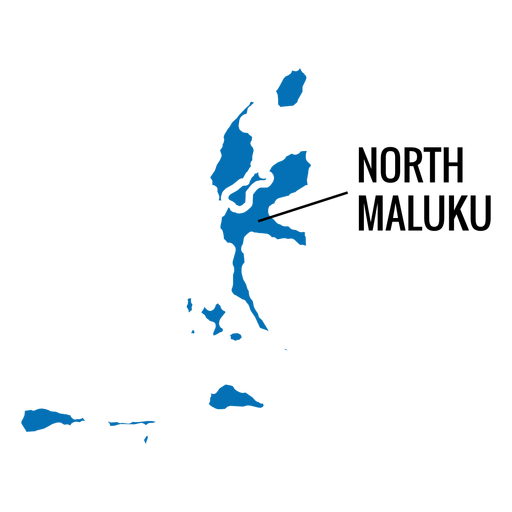
Mapa da província de North Maluku Desenho PNG
Escolha uma pasta
Todos os favoritos
Criar novo
Salvar
Mapa da província de North Maluku Desenho PNG
Premium
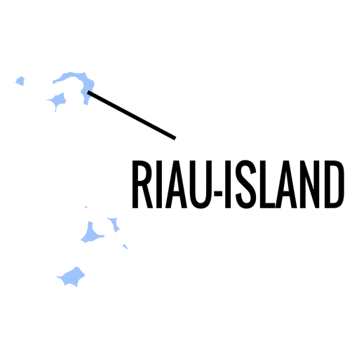
Mapa da província das ilhas Riau Desenho PNG
Escolha uma pasta
Todos os favoritos
Criar novo
Salvar
Mapa da província das ilhas Riau Desenho PNG
Premium
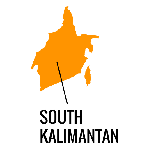
Mapa da província de Kalimantan do Sul Desenho PNG
Escolha uma pasta
Todos os favoritos
Criar novo
Salvar
Mapa da província de Kalimantan do Sul Desenho PNG
Premium
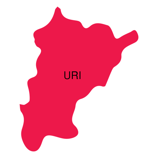
Mapa do cantão de Uri Desenho PNG
Escolha uma pasta
Todos os favoritos
Criar novo
Salvar
Mapa do cantão de Uri Desenho PNG
Premium
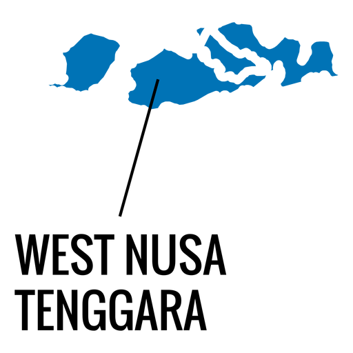
Mapa da província de West Nusa Tenggara Desenho PNG
Escolha uma pasta
Todos os favoritos
Criar novo
Salvar
Mapa da província de West Nusa Tenggara Desenho PNG
Premium
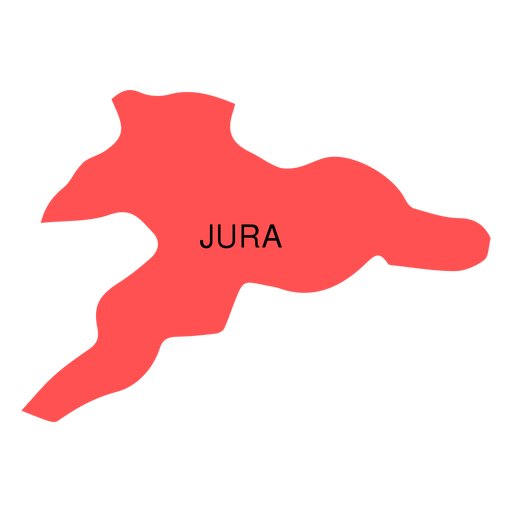
Mapa do cantão de Jura Desenho PNG
Escolha uma pasta
Todos os favoritos
Criar novo
Salvar
Mapa do cantão de Jura Desenho PNG
Premium
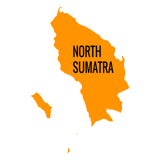
Mapa da província de Sumatra do Norte Desenho PNG
Escolha uma pasta
Todos os favoritos
Criar novo
Salvar
Mapa da província de Sumatra do Norte Desenho PNG
Premium
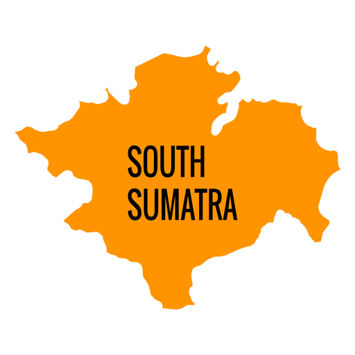
Mapa da província de sumatra do sul Desenho PNG
Escolha uma pasta
Todos os favoritos
Criar novo
Salvar
Mapa da província de sumatra do sul Desenho PNG
Premium
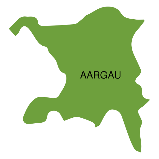
Mapa do cantão de Aargau Desenho PNG
Escolha uma pasta
Todos os favoritos
Criar novo
Salvar
Mapa do cantão de Aargau Desenho PNG
Premium
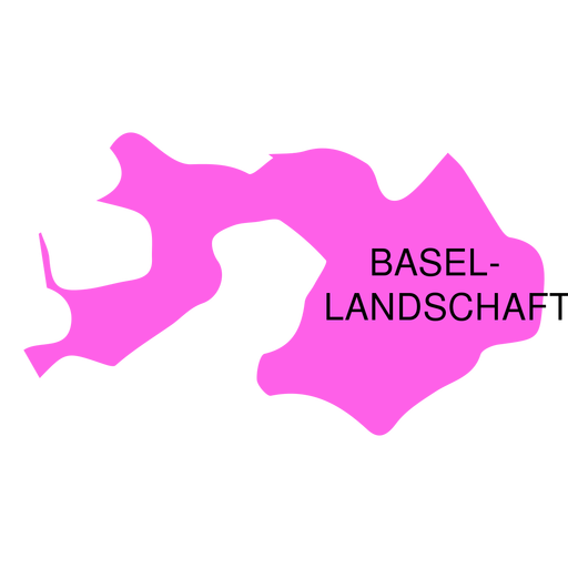
Mapa do cantão de Landchaft de Basel Desenho PNG
Escolha uma pasta
Todos os favoritos
Criar novo
Salvar
Mapa do cantão de Landchaft de Basel Desenho PNG
Premium
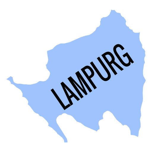
Mapa da província de Lampurg Desenho PNG
Escolha uma pasta
Todos os favoritos
Criar novo
Salvar
Mapa da província de Lampurg Desenho PNG
Premium
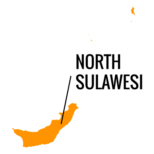
Mapa da província de Sulawesi do Norte Desenho PNG
Escolha uma pasta
Todos os favoritos
Criar novo
Salvar
Mapa da província de Sulawesi do Norte Desenho PNG
Premium
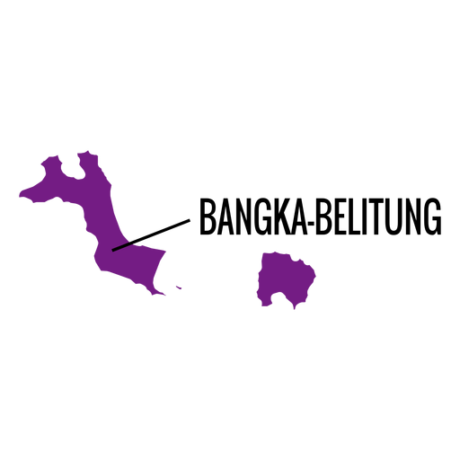
Mapa da província de Bangka belitung Desenho PNG
Escolha uma pasta
Todos os favoritos
Criar novo
Salvar
Mapa da província de Bangka belitung Desenho PNG
Premium
Mapa do distrito de Basel Desenho PNG
Escolha uma pasta
Todos os favoritos
Criar novo
Salvar
Mapa do distrito de Basel Desenho PNG
Premium
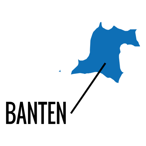
Mapa da província de Banten Desenho PNG
Escolha uma pasta
Todos os favoritos
Criar novo
Salvar
Mapa da província de Banten Desenho PNG
Premium
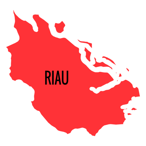
Mapa da província de Riau Desenho PNG
Escolha uma pasta
Todos os favoritos
Criar novo
Salvar
Mapa da província de Riau Desenho PNG
Premium
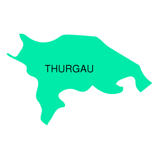
Mapa do cantão de Thurgau Desenho PNG
Escolha uma pasta
Todos os favoritos
Criar novo
Salvar
Mapa do cantão de Thurgau Desenho PNG
Premium
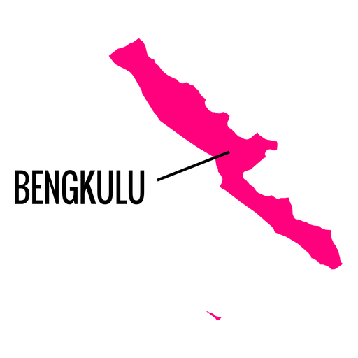
Mapa da província de Bengkulu Desenho PNG
Escolha uma pasta
Todos os favoritos
Criar novo
Salvar
Mapa da província de Bengkulu Desenho PNG
Premium
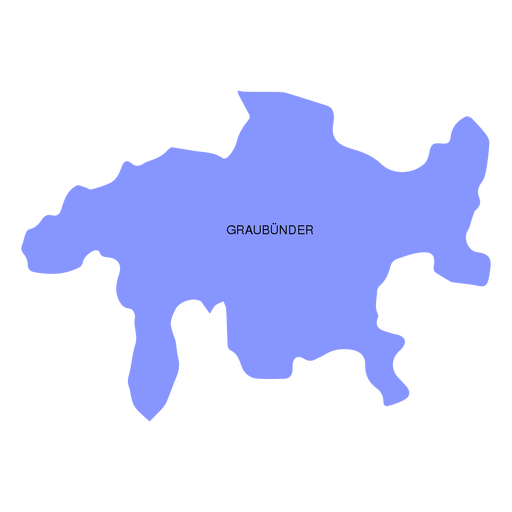
Mapa do cantão de Graubunder grisons Desenho PNG
Escolha uma pasta
Todos os favoritos
Criar novo
Salvar
Mapa do cantão de Graubunder grisons Desenho PNG
Premium
Mapa do cantão de Zug Desenho PNG
Escolha uma pasta
Todos os favoritos
Criar novo
Salvar
Mapa do cantão de Zug Desenho PNG
Premium
Mapa do cantão de Appenzell ausserrhoden Desenho PNG
Escolha uma pasta
Todos os favoritos
Criar novo
Salvar
Mapa do cantão de Appenzell ausserrhoden Desenho PNG
Premium
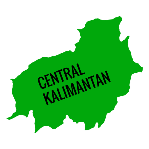
Mapa da província central de Kalimantan Desenho PNG
Escolha uma pasta
Todos os favoritos
Criar novo
Salvar
Mapa da província central de Kalimantan Desenho PNG
Premium
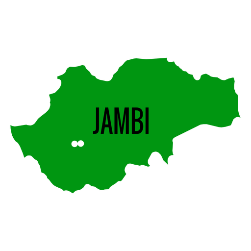
Mapa da província de Jambi Desenho PNG
Escolha uma pasta
Todos os favoritos
Criar novo
Salvar
Mapa da província de Jambi Desenho PNG
Premium
Mapa da província de Gorontalo Desenho PNG
Escolha uma pasta
Todos os favoritos
Criar novo
Salvar
Mapa da província de Gorontalo Desenho PNG
Premium
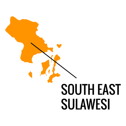
Mapa da província de Sudeste de Sulawesi Desenho PNG
Escolha uma pasta
Todos os favoritos
Criar novo
Salvar
Mapa da província de Sudeste de Sulawesi Desenho PNG
Premium
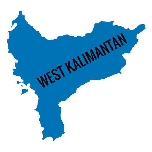
Mapa da província de West Kalimantan Desenho PNG
Escolha uma pasta
Todos os favoritos
Criar novo
Salvar
Mapa da província de West Kalimantan Desenho PNG
Premium
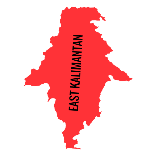
Mapa da província de Kalimantan Oriental Desenho PNG
Escolha uma pasta
Todos os favoritos
Criar novo
Salvar
Mapa da província de Kalimantan Oriental Desenho PNG
Premium
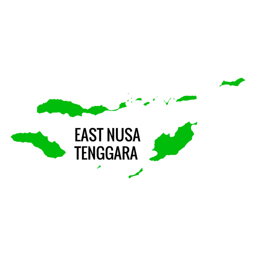
Mapa da província de East Nusa Tenggara Desenho PNG
Escolha uma pasta
Todos os favoritos
Criar novo
Salvar
Mapa da província de East Nusa Tenggara Desenho PNG
Premium
Mapa do cantão de Appenzell innerrhoden Desenho PNG
Escolha uma pasta
Todos os favoritos
Criar novo
Salvar
Mapa do cantão de Appenzell innerrhoden Desenho PNG
Premium
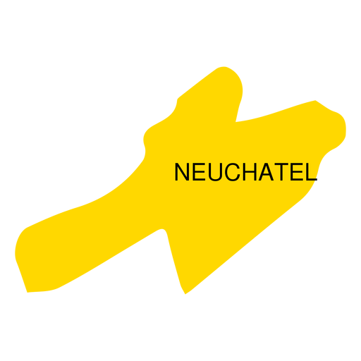
Mapa do cantão de Neuchatel Desenho PNG
Escolha uma pasta
Todos os favoritos
Criar novo
Salvar
Mapa do cantão de Neuchatel Desenho PNG
Premium
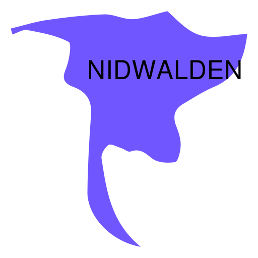
Mapa do cantão de Nidwalden Desenho PNG
Escolha uma pasta
Todos os favoritos
Criar novo
Salvar
Mapa do cantão de Nidwalden Desenho PNG
Premium
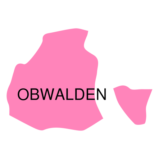
Mapa do cantão de Obwalden Desenho PNG
Escolha uma pasta
Todos os favoritos
Criar novo
Salvar
Mapa do cantão de Obwalden Desenho PNG
Premium
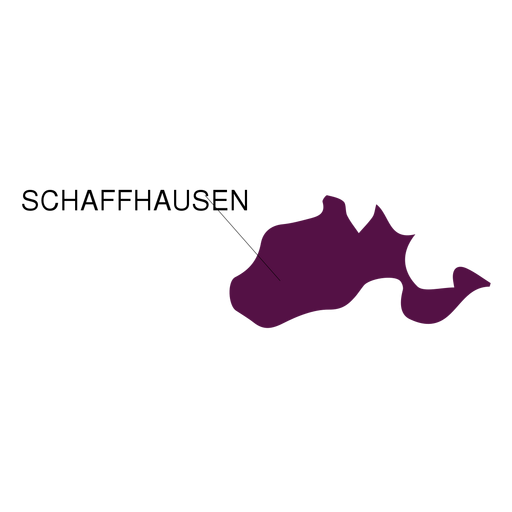
Mapa do cantão de Schaffhausen Desenho PNG
Escolha uma pasta
Todos os favoritos
Criar novo
Salvar
Mapa do cantão de Schaffhausen Desenho PNG
Premium
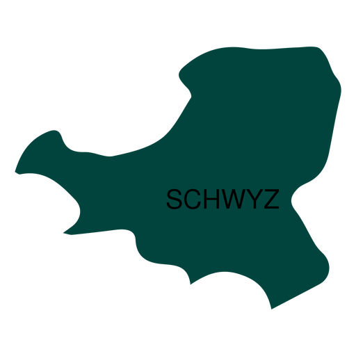
Mapa do cantão de Schwyz Desenho PNG
Escolha uma pasta
Todos os favoritos
Criar novo
Salvar
Mapa do cantão de Schwyz Desenho PNG
Premium
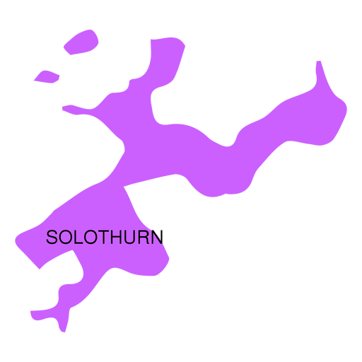
Mapa do cantão de Solothurn Desenho PNG
Escolha uma pasta
Todos os favoritos
Criar novo
Salvar
Mapa do cantão de Solothurn Desenho PNG
Premium
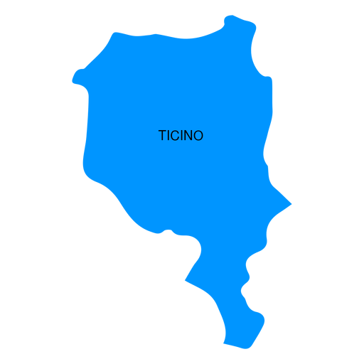
Mapa do cantão do Ticino Desenho PNG
Escolha uma pasta
Todos os favoritos
Criar novo
Salvar
Mapa do cantão do Ticino Desenho PNG
Premium
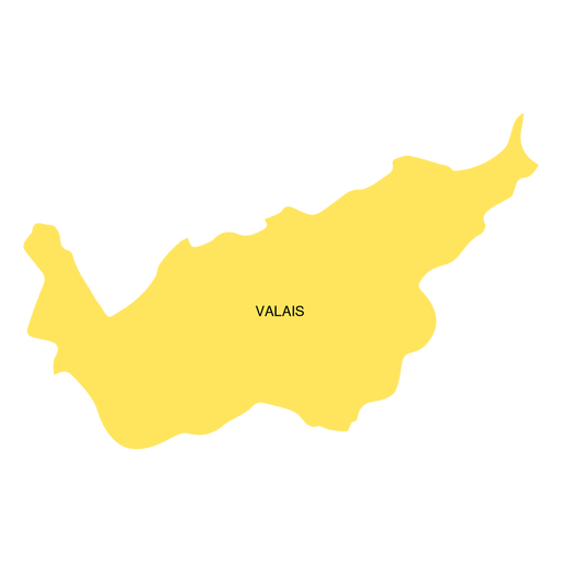
Mapa do cantão de valais Desenho PNG
Escolha uma pasta
Todos os favoritos
Criar novo
Salvar
Mapa do cantão de valais Desenho PNG
Premium
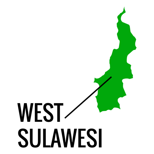
Mapa da província de West Sulawesi Desenho PNG
Escolha uma pasta
Todos os favoritos
Criar novo
Salvar
Mapa da província de West Sulawesi Desenho PNG
Impulsione seu negócio
Com a plataforma gráfica líder de mercado.
Ver planos
do 2
prev page
next page