Gráficos
Explorar Desenhos
Novos designs Merch
Designs de Merch de Tendência
Vectores
PNGs & SVGs
Mockups
Camisetas
Modelos de T-Shirt PSD
Designs KDP
Capas para celular
Almofadas
Sacos de compras
Pôsteres
Canecas
Ferramentas de desenho
Designer
Novo!
T-shirt Maker
Mockup Generator
Quote Generator
Logo Maker
Ajuda
Merch Digest
Blog
Centro de Ajuda
Creators Program
Saiba mais sobre o Merch
Notícias
Acesso à API
Preços
Carregando...
Inscrever-se
Conecte-se
PNG
mapa
Gráficos
Explorar Desenhos
Novos designs Merch
Designs de Merch de Tendência
Vectores
PNGs & SVGs
Mockups
Camisetas
Modelos de T-Shirt PSD
Designs KDP
Capas para celular
Almofadas
Sacos de compras
Pôsteres
Canecas
Ferramentas de desenho
Designer
Novo!
T-shirt Maker
Mockup Generator
Quote Generator
Logo Maker
Ajuda
Merch Digest
Blog
Centro de Ajuda
Creators Program
Saiba mais sobre o Merch
Notícias
Acesso à API
PLANOS
PNG
mapa
1252 Vetores editáveis em PNG e SVG de mapa
Baixar Vetores PNG e SVG editáveis de mapa com fundo transparente.
Relacionado:
mapa mundial
,
mapas
,
mapa global
Ordenar por
Mais relevante
Resultados patrocinados da
Ganhe 15% de desconto com o código: VEXELS15
veja mais detalhes
Mapa do mundo colorido continentes Desenho PNG
Escolha uma pasta
Todos os favoritos
Criar novo
Salvar
Mapa do mundo colorido continentes Desenho PNG
Premium
Ilustração do mapa mundial Desenho PNG
Escolha uma pasta
Todos os favoritos
Criar novo
Salvar
Ilustração do mapa mundial Desenho PNG
Silhueta do mapa dos EUA da Flórida Desenho PNG
Escolha uma pasta
Todos os favoritos
Criar novo
Salvar
Silhueta do mapa dos EUA da Flórida Desenho PNG
Silhueta do mapa de Oklahoma EUA Desenho PNG
Escolha uma pasta
Todos os favoritos
Criar novo
Salvar
Silhueta do mapa de Oklahoma EUA Desenho PNG
Premium
Mapa da planície do estado da Carolina do Norte Desenho PNG
Escolha uma pasta
Todos os favoritos
Criar novo
Salvar
Mapa da planície do estado da Carolina do Norte Desenho PNG
Premium
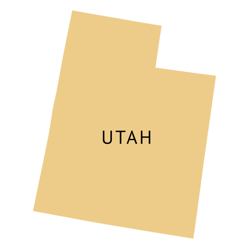
Mapa plano do estado de Utah Desenho PNG
Escolha uma pasta
Todos os favoritos
Criar novo
Salvar
Mapa plano do estado de Utah Desenho PNG
Premium
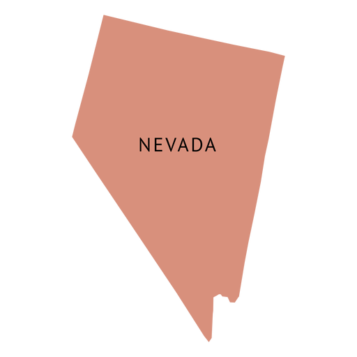
Mapa plano do estado de Nevada Desenho PNG
Escolha uma pasta
Todos os favoritos
Criar novo
Salvar
Mapa plano do estado de Nevada Desenho PNG
Silhueta do mapa do Kentucky eua Desenho PNG
Escolha uma pasta
Todos os favoritos
Criar novo
Salvar
Silhueta do mapa do Kentucky eua Desenho PNG
Silhueta do mapa de Massachusetts EUA Desenho PNG
Escolha uma pasta
Todos os favoritos
Criar novo
Salvar
Silhueta do mapa de Massachusetts EUA Desenho PNG
Curso de mapa de Indiana EUA Desenho PNG
Escolha uma pasta
Todos os favoritos
Criar novo
Salvar
Curso de mapa de Indiana EUA Desenho PNG
Premium
Ilustração do mapa da Rússia Desenho PNG
Escolha uma pasta
Todos os favoritos
Criar novo
Salvar
Ilustração do mapa da Rússia Desenho PNG
Silhueta do mapa dos EUA de Nova Jersey Desenho PNG
Escolha uma pasta
Todos os favoritos
Criar novo
Salvar
Silhueta do mapa dos EUA de Nova Jersey Desenho PNG
Premium
Design de citação divertida de aventura com mapa dos EUA Desenho PNG
Escolha uma pasta
Todos os favoritos
Criar novo
Salvar
Design de citação divertida de aventura com mapa dos EUA Desenho PNG
Curso de mapa de Connecticut EUA Desenho PNG
Escolha uma pasta
Todos os favoritos
Criar novo
Salvar
Curso de mapa de Connecticut EUA Desenho PNG
Silhueta de mapa de Maine EUA Desenho PNG
Escolha uma pasta
Todos os favoritos
Criar novo
Salvar
Silhueta de mapa de Maine EUA Desenho PNG
Silhueta do mapa de Maryland EUA Desenho PNG
Escolha uma pasta
Todos os favoritos
Criar novo
Salvar
Silhueta do mapa de Maryland EUA Desenho PNG
Silhueta de mapa da Califórnia EUA Desenho PNG
Escolha uma pasta
Todos os favoritos
Criar novo
Salvar
Silhueta de mapa da Califórnia EUA Desenho PNG
Silhueta do mapa do Missouri eua Desenho PNG
Escolha uma pasta
Todos os favoritos
Criar novo
Salvar
Silhueta do mapa do Missouri eua Desenho PNG
Silhueta do mapa do Tennessee EUA Desenho PNG
Escolha uma pasta
Todos os favoritos
Criar novo
Salvar
Silhueta do mapa do Tennessee EUA Desenho PNG
Silhueta de mapa de Wisconsin EUA Desenho PNG
Escolha uma pasta
Todos os favoritos
Criar novo
Salvar
Silhueta de mapa de Wisconsin EUA Desenho PNG
Premium
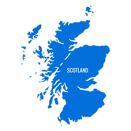
Mapa da Escócia Desenho PNG
Escolha uma pasta
Todos os favoritos
Criar novo
Salvar
Mapa da Escócia Desenho PNG
Silhueta do mapa de Nevada EUA Desenho PNG
Escolha uma pasta
Todos os favoritos
Criar novo
Salvar
Silhueta do mapa de Nevada EUA Desenho PNG
Silhueta do mapa de Washington EUA Desenho PNG
Escolha uma pasta
Todos os favoritos
Criar novo
Salvar
Silhueta do mapa de Washington EUA Desenho PNG
Premium
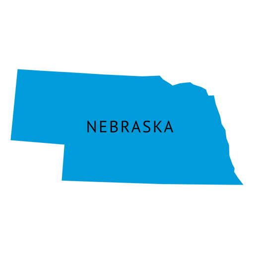
Mapa da planície do estado de Nebraska Desenho PNG
Escolha uma pasta
Todos os favoritos
Criar novo
Salvar
Mapa da planície do estado de Nebraska Desenho PNG
Premium
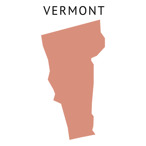
Mapa plano do estado de Vermont Desenho PNG
Escolha uma pasta
Todos os favoritos
Criar novo
Salvar
Mapa plano do estado de Vermont Desenho PNG
Silhueta do mapa do Havaí eua Desenho PNG
Escolha uma pasta
Todos os favoritos
Criar novo
Salvar
Silhueta do mapa do Havaí eua Desenho PNG
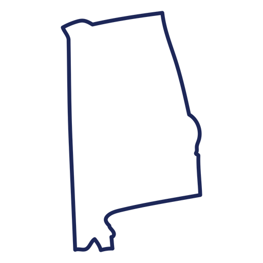
Curso de mapa do Alabama EUA Desenho PNG
Escolha uma pasta
Todos os favoritos
Criar novo
Salvar
Curso de mapa do Alabama EUA Desenho PNG
Premium
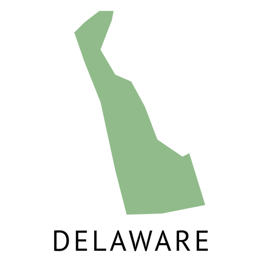
Mapa plano do estado de Delaware Desenho PNG
Escolha uma pasta
Todos os favoritos
Criar novo
Salvar
Mapa plano do estado de Delaware Desenho PNG
Silhueta do mapa dos EUA da Pensilvânia Desenho PNG
Escolha uma pasta
Todos os favoritos
Criar novo
Salvar
Silhueta do mapa dos EUA da Pensilvânia Desenho PNG
Premium
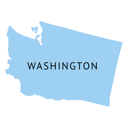
Mapa plano do estado de Washington Desenho PNG
Escolha uma pasta
Todos os favoritos
Criar novo
Salvar
Mapa plano do estado de Washington Desenho PNG
Premium
Mapa da planície do estado da Virgínia Ocidental Desenho PNG
Escolha uma pasta
Todos os favoritos
Criar novo
Salvar
Mapa da planície do estado da Virgínia Ocidental Desenho PNG
Silhueta de mapa do Alabama eua Desenho PNG
Escolha uma pasta
Todos os favoritos
Criar novo
Salvar
Silhueta de mapa do Alabama eua Desenho PNG
Premium
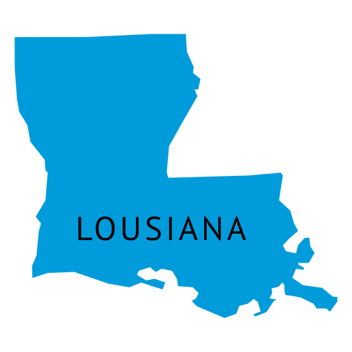
Mapa plano de estado de Lousiana Desenho PNG
Escolha uma pasta
Todos os favoritos
Criar novo
Salvar
Mapa plano de estado de Lousiana Desenho PNG
Silhueta do mapa de New Hampshire EUA Desenho PNG
Escolha uma pasta
Todos os favoritos
Criar novo
Salvar
Silhueta do mapa de New Hampshire EUA Desenho PNG
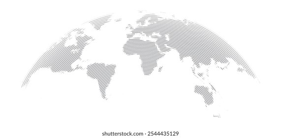
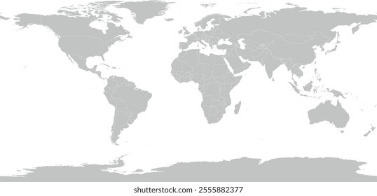
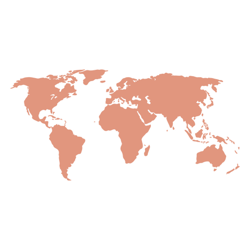
Mapa do Mundo Silhueta Desenho PNG
Escolha uma pasta
Todos os favoritos
Criar novo
Salvar
Mapa do Mundo Silhueta Desenho PNG
Curso de mapa de Kentucky EUA Desenho PNG
Escolha uma pasta
Todos os favoritos
Criar novo
Salvar
Curso de mapa de Kentucky EUA Desenho PNG
Premium
Ícone de globo do mapa mundial Desenho PNG
Escolha uma pasta
Todos os favoritos
Criar novo
Salvar
Ícone de globo do mapa mundial Desenho PNG
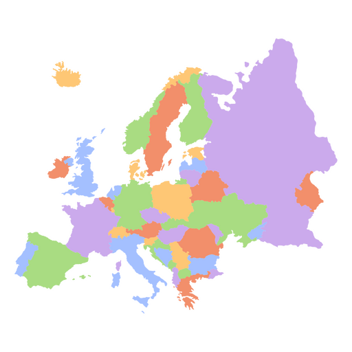
Mapa dos continentes planos da Europa Desenho PNG
Escolha uma pasta
Todos os favoritos
Criar novo
Salvar
Mapa dos continentes planos da Europa Desenho PNG
Silhueta de mapa do Arizona EUA Desenho PNG
Escolha uma pasta
Todos os favoritos
Criar novo
Salvar
Silhueta de mapa do Arizona EUA Desenho PNG
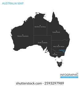
Mapa do Continente da Austrália Desenho PNG
Escolha uma pasta
Todos os favoritos
Criar novo
Salvar
Mapa do Continente da Austrália Desenho PNG
Premium
Mapa plano de new hampshire state Desenho PNG
Escolha uma pasta
Todos os favoritos
Criar novo
Salvar
Mapa plano de new hampshire state Desenho PNG
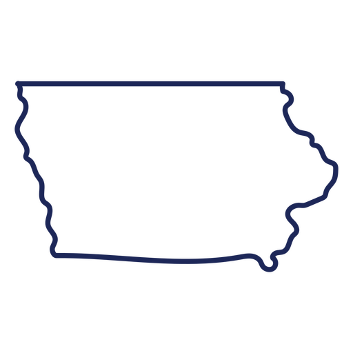
Curso de mapa de Iowa EUA Desenho PNG
Escolha uma pasta
Todos os favoritos
Criar novo
Salvar
Curso de mapa de Iowa EUA Desenho PNG
Premium
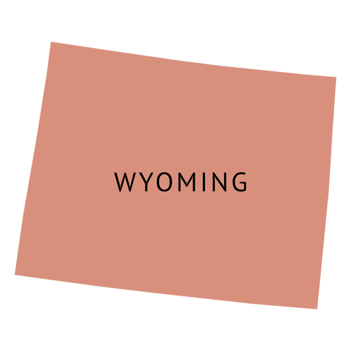
Mapa plano do estado de Wyoming Desenho PNG
Escolha uma pasta
Todos os favoritos
Criar novo
Salvar
Mapa plano do estado de Wyoming Desenho PNG
Premium
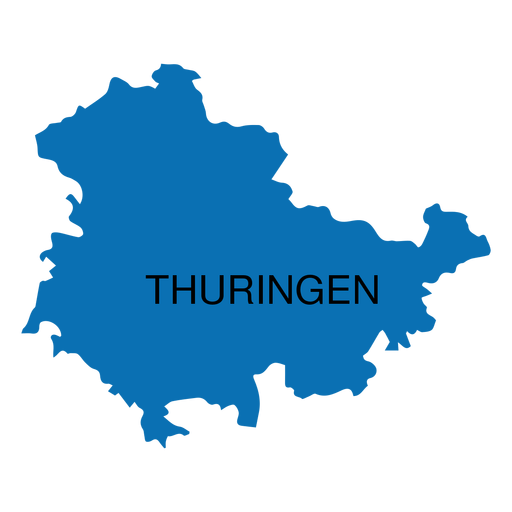
Mapa do estado da Turíngia Desenho PNG
Escolha uma pasta
Todos os favoritos
Criar novo
Salvar
Mapa do estado da Turíngia Desenho PNG
Premium
Mapa da planície do estado da Carolina do Sul Desenho PNG
Escolha uma pasta
Todos os favoritos
Criar novo
Salvar
Mapa da planície do estado da Carolina do Sul Desenho PNG
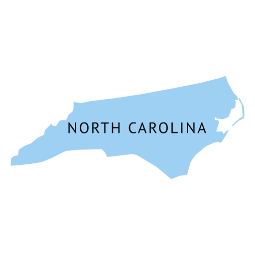
Silhueta do mapa dos EUA da Carolina do Norte Desenho PNG
Escolha uma pasta
Todos os favoritos
Criar novo
Salvar
Silhueta do mapa dos EUA da Carolina do Norte Desenho PNG
Premium
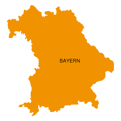
Mapa do estado do Bayern Desenho PNG
Escolha uma pasta
Todos os favoritos
Criar novo
Salvar
Mapa do estado do Bayern Desenho PNG
Silhueta do mapa do Alasca eua Desenho PNG
Escolha uma pasta
Todos os favoritos
Criar novo
Salvar
Silhueta do mapa do Alasca eua Desenho PNG
Traço de mapa do Colorado eua Desenho PNG
Escolha uma pasta
Todos os favoritos
Criar novo
Salvar
Traço de mapa do Colorado eua Desenho PNG
Premium
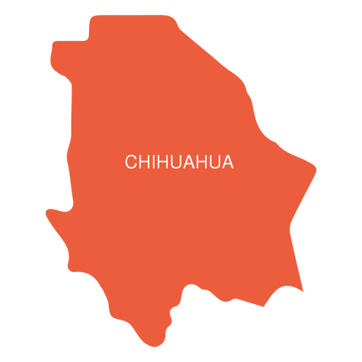
Mapa do estado de Chihuahua Desenho PNG
Escolha uma pasta
Todos os favoritos
Criar novo
Salvar
Mapa do estado de Chihuahua Desenho PNG
Inscreva-se
Para obter designs de uso comercial de alta qualidade para seus negócios
VER PLANOS
Próxima
do 26
prev page
next page