Gráficos
Explorar Desenhos
Novos designs Merch
Designs de Merch de Tendência
Vectores
PNGs & SVGs
Mockups
Camisetas
Modelos de T-Shirt PSD
Designs KDP
Capas para celular
Almofadas
Sacos de compras
Pôsteres
Canecas
Ferramentas de desenho
Designer
Novo!
T-shirt Maker
Mockup Generator
Quote Generator
Logo Maker
Ajuda
Merch Digest
Blog
Centro de Ajuda
Creators Program
Saiba mais sobre o Merch
Notícias
Preços
Carregando...
Inscrever-se
Conecte-se
PNG
territorio
Gráficos
Explorar Desenhos
Novos designs Merch
Designs de Merch de Tendência
Vectores
PNGs & SVGs
Mockups
Camisetas
Modelos de T-Shirt PSD
Designs KDP
Capas para celular
Almofadas
Sacos de compras
Pôsteres
Canecas
Ferramentas de desenho
Designer
Novo!
T-shirt Maker
Mockup Generator
Quote Generator
Logo Maker
Ajuda
Merch Digest
Blog
Centro de Ajuda
Creators Program
Saiba mais sobre o Merch
Notícias
PLANOS
PNG
territorio
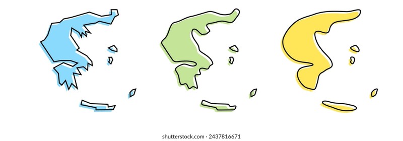
328 Vetores editáveis em PNG e SVG de territorio
Baixar Vetores PNG e SVG editáveis de territorio com fundo transparente.
Relacionado:
territorio francês
,
territorios do norte
,
territorio turco
Ordenar por
Mais relevante
Resultados patrocinados da
Ganhe 15% de desconto com o código: VEXELS15
veja mais detalhes
Premium
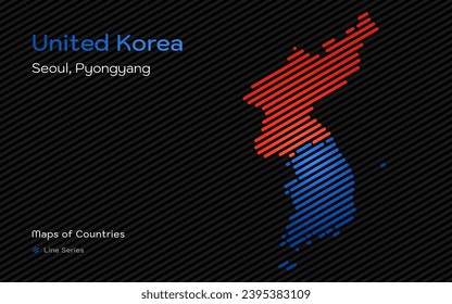
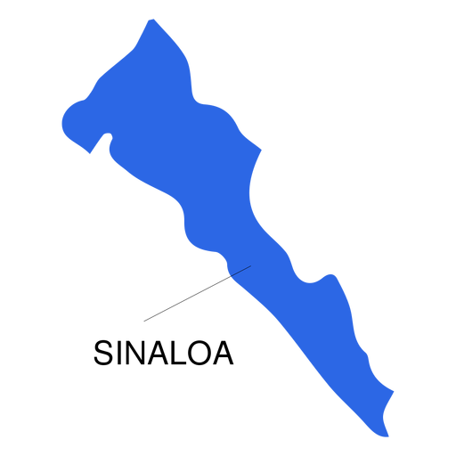
Mapa do estado de Sinaloa Desenho PNG
Escolha uma pasta
Todos os favoritos
Criar novo
Salvar
Mapa do estado de Sinaloa Desenho PNG
Premium
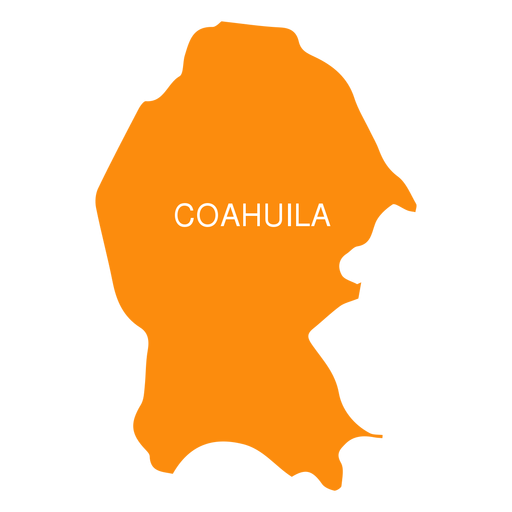
Coahuila de zaragoza mapa do estado Desenho PNG
Escolha uma pasta
Todos os favoritos
Criar novo
Salvar
Coahuila de zaragoza mapa do estado Desenho PNG
Premium
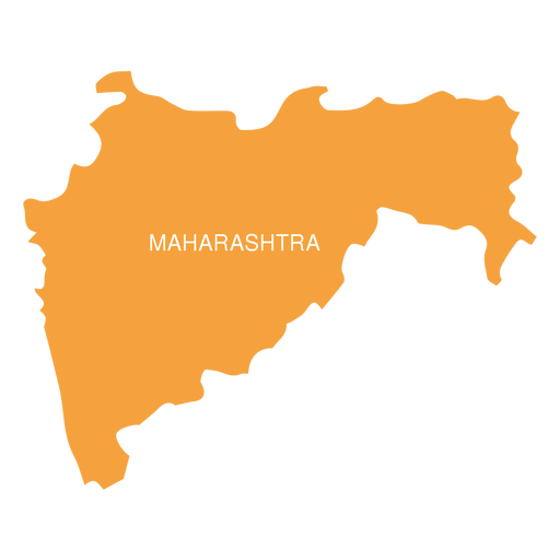
Mapa do estado de Maharashtra Desenho PNG
Escolha uma pasta
Todos os favoritos
Criar novo
Salvar
Mapa do estado de Maharashtra Desenho PNG
Premium
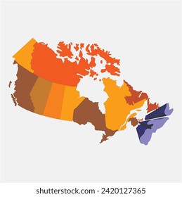
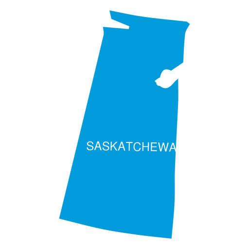
Mapa da província de Saskatchewan Desenho PNG
Escolha uma pasta
Todos os favoritos
Criar novo
Salvar
Mapa da província de Saskatchewan Desenho PNG
Premium
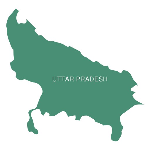
Mapa do estado de Uttar Pradesh Desenho PNG
Escolha uma pasta
Todos os favoritos
Criar novo
Salvar
Mapa do estado de Uttar Pradesh Desenho PNG
Premium
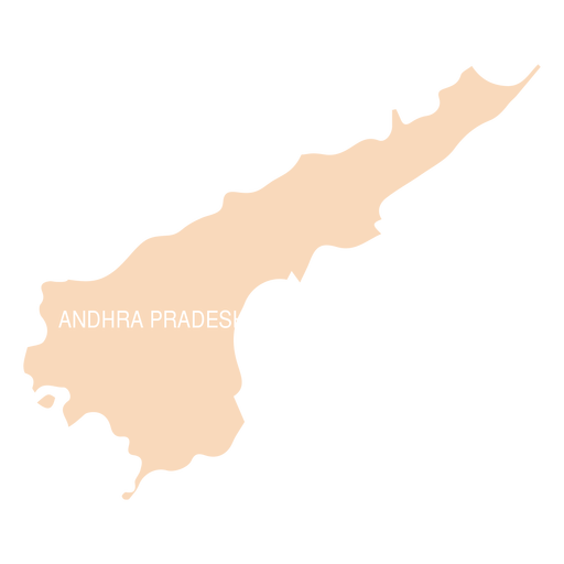
Mapa do estado de Andhra Pradesh Desenho PNG
Escolha uma pasta
Todos os favoritos
Criar novo
Salvar
Mapa do estado de Andhra Pradesh Desenho PNG
Premium
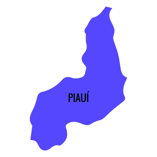
Mapa do estado do Piauí Desenho PNG
Escolha uma pasta
Todos os favoritos
Criar novo
Salvar
Mapa do estado do Piauí Desenho PNG
Premium
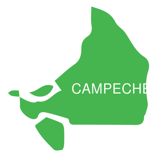
Mapa do estado de Campeche Desenho PNG
Escolha uma pasta
Todos os favoritos
Criar novo
Salvar
Mapa do estado de Campeche Desenho PNG
Premium
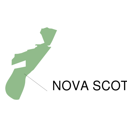
Mapa da província de Nova Escócia Desenho PNG
Escolha uma pasta
Todos os favoritos
Criar novo
Salvar
Mapa da província de Nova Escócia Desenho PNG
Premium
Mapa do estado de Hidalgo Desenho PNG
Escolha uma pasta
Todos os favoritos
Criar novo
Salvar
Mapa do estado de Hidalgo Desenho PNG
Premium
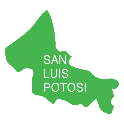
San luis potosi mapa estatal Desenho PNG
Escolha uma pasta
Todos os favoritos
Criar novo
Salvar
San luis potosi mapa estatal Desenho PNG
Premium
Aguascalientes mapa do estado Desenho PNG
Escolha uma pasta
Todos os favoritos
Criar novo
Salvar
Aguascalientes mapa do estado Desenho PNG
Premium
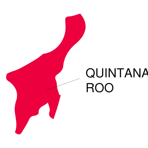
Mapa do estado de Quintana roo Desenho PNG
Escolha uma pasta
Todos os favoritos
Criar novo
Salvar
Mapa do estado de Quintana roo Desenho PNG
Premium
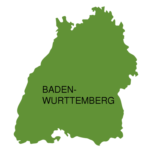
Mapa do estado de Baden-Wurttemberg Desenho PNG
Escolha uma pasta
Todos os favoritos
Criar novo
Salvar
Mapa do estado de Baden-Wurttemberg Desenho PNG
Premium
Mapa do estado de Colima Desenho PNG
Escolha uma pasta
Todos os favoritos
Criar novo
Salvar
Mapa do estado de Colima Desenho PNG
Premium
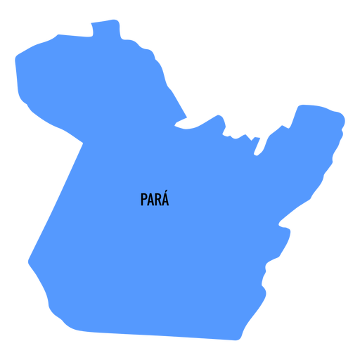
Mapa do estado do Pará Desenho PNG
Escolha uma pasta
Todos os favoritos
Criar novo
Salvar
Mapa do estado do Pará Desenho PNG
Premium
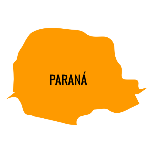
Mapa do estado do Paraná Desenho PNG
Escolha uma pasta
Todos os favoritos
Criar novo
Salvar
Mapa do estado do Paraná Desenho PNG
Premium
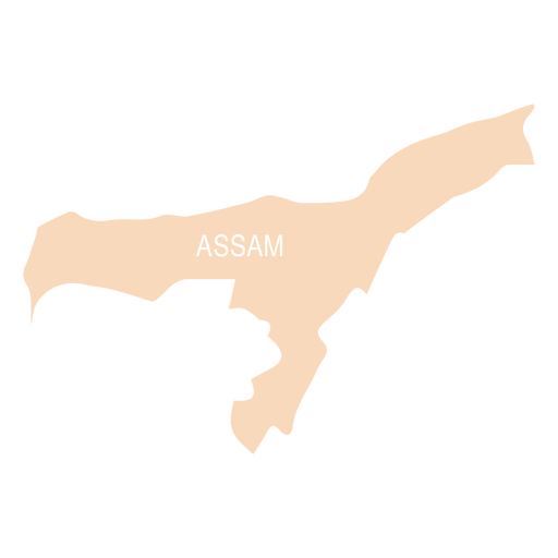
Mapa do estado de Assam Desenho PNG
Escolha uma pasta
Todos os favoritos
Criar novo
Salvar
Mapa do estado de Assam Desenho PNG
Premium
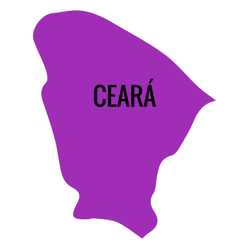
Mapa do estado do ceará Desenho PNG
Escolha uma pasta
Todos os favoritos
Criar novo
Salvar
Mapa do estado do ceará Desenho PNG
Premium
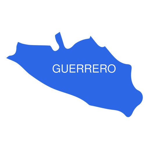
Mapa do estado de Guerrero Desenho PNG
Escolha uma pasta
Todos os favoritos
Criar novo
Salvar
Mapa do estado de Guerrero Desenho PNG
Premium
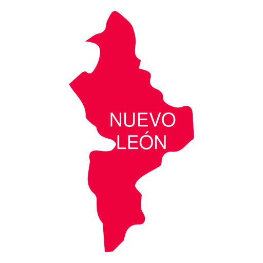
Mapa do estado de Nuevo leon Desenho PNG
Escolha uma pasta
Todos os favoritos
Criar novo
Salvar
Mapa do estado de Nuevo leon Desenho PNG
Premium
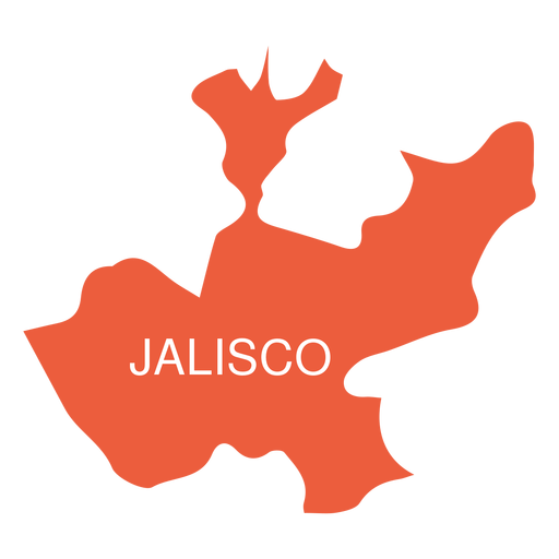
Mapa do estado de Jalisko Desenho PNG
Escolha uma pasta
Todos os favoritos
Criar novo
Salvar
Mapa do estado de Jalisko Desenho PNG
Premium
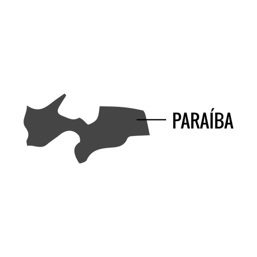
Mapa do estado da paraíba Desenho PNG
Escolha uma pasta
Todos os favoritos
Criar novo
Salvar
Mapa do estado da paraíba Desenho PNG
Premium
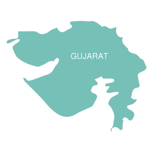
Mapa do estado de Gujarat Desenho PNG
Escolha uma pasta
Todos os favoritos
Criar novo
Salvar
Mapa do estado de Gujarat Desenho PNG
Premium
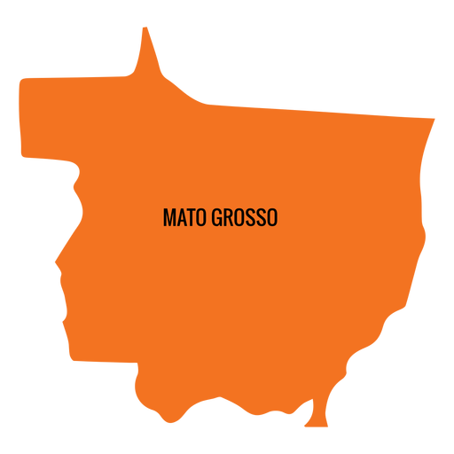
Mapa do estado de Mato Grosso Desenho PNG
Escolha uma pasta
Todos os favoritos
Criar novo
Salvar
Mapa do estado de Mato Grosso Desenho PNG
Premium
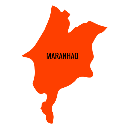
Mapa do estado do maranhão Desenho PNG
Escolha uma pasta
Todos os favoritos
Criar novo
Salvar
Mapa do estado do maranhão Desenho PNG
Premium
Mapa do estado do rio grande do sul Desenho PNG
Escolha uma pasta
Todos os favoritos
Criar novo
Salvar
Mapa do estado do rio grande do sul Desenho PNG
Premium
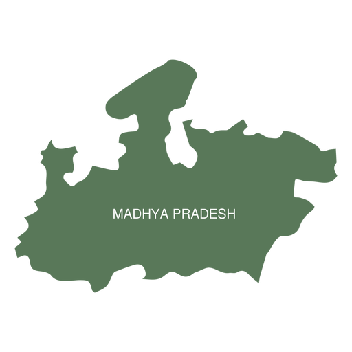
Mapa do estado de Madhya Pradesh Desenho PNG
Escolha uma pasta
Todos os favoritos
Criar novo
Salvar
Mapa do estado de Madhya Pradesh Desenho PNG
Premium
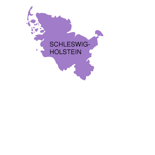
Mapa do estado de Schleswig holstein Desenho PNG
Escolha uma pasta
Todos os favoritos
Criar novo
Salvar
Mapa do estado de Schleswig holstein Desenho PNG
Premium
Mapa do estado de Sergipe Desenho PNG
Escolha uma pasta
Todos os favoritos
Criar novo
Salvar
Mapa do estado de Sergipe Desenho PNG
Premium
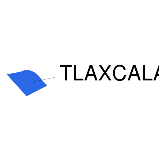
Mapa do estado de Tlaxcala Desenho PNG
Escolha uma pasta
Todos os favoritos
Criar novo
Salvar
Mapa do estado de Tlaxcala Desenho PNG
Premium
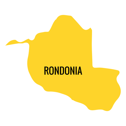
Mapa do estado de Rondônia Desenho PNG
Escolha uma pasta
Todos os favoritos
Criar novo
Salvar
Mapa do estado de Rondônia Desenho PNG
Premium
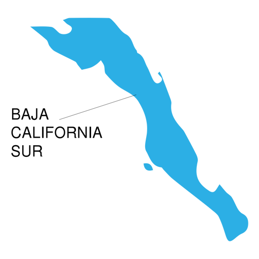
Baja california sur state map Desenho PNG
Escolha uma pasta
Todos os favoritos
Criar novo
Salvar
Baja california sur state map Desenho PNG
Premium
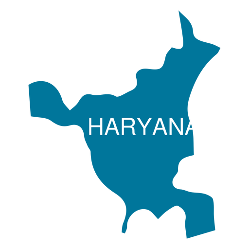
Mapa do estado de Haryana Desenho PNG
Escolha uma pasta
Todos os favoritos
Criar novo
Salvar
Mapa do estado de Haryana Desenho PNG
Premium
Mapa do estado de Bengala Ocidental Desenho PNG
Escolha uma pasta
Todos os favoritos
Criar novo
Salvar
Mapa do estado de Bengala Ocidental Desenho PNG
Premium
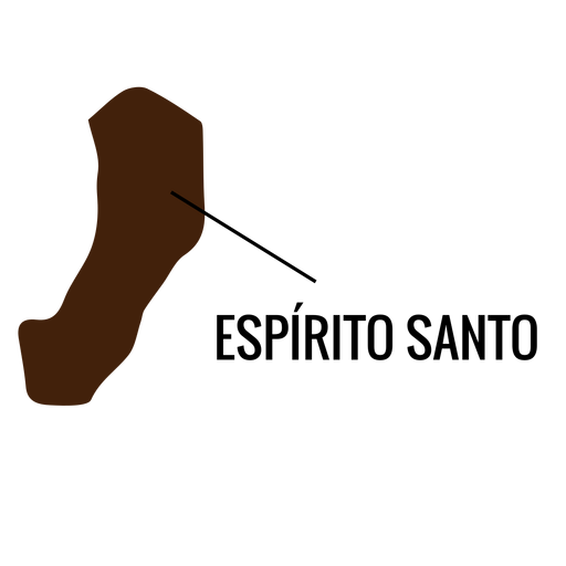
Mapa do estado de Espirito Santo Desenho PNG
Escolha uma pasta
Todos os favoritos
Criar novo
Salvar
Mapa do estado de Espirito Santo Desenho PNG
Premium
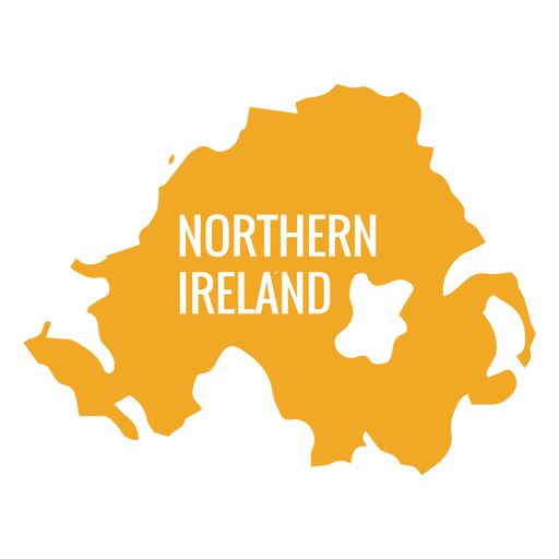
Mapa da Irlanda do Norte Desenho PNG
Escolha uma pasta
Todos os favoritos
Criar novo
Salvar
Mapa da Irlanda do Norte Desenho PNG
Premium
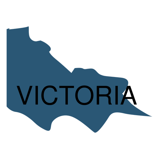
Mapa do estado de Victoria Desenho PNG
Escolha uma pasta
Todos os favoritos
Criar novo
Salvar
Mapa do estado de Victoria Desenho PNG
Premium
Mapa do estado de Alagoas Desenho PNG
Escolha uma pasta
Todos os favoritos
Criar novo
Salvar
Mapa do estado de Alagoas Desenho PNG
Premium
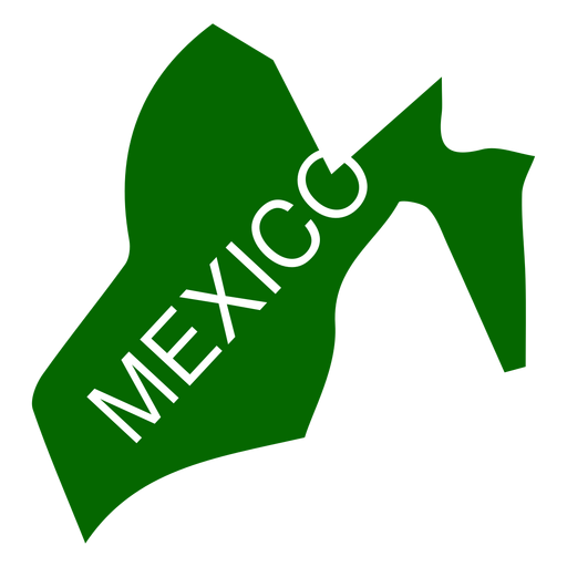
Mapa do estado do México Desenho PNG
Escolha uma pasta
Todos os favoritos
Criar novo
Salvar
Mapa do estado do México Desenho PNG
Premium
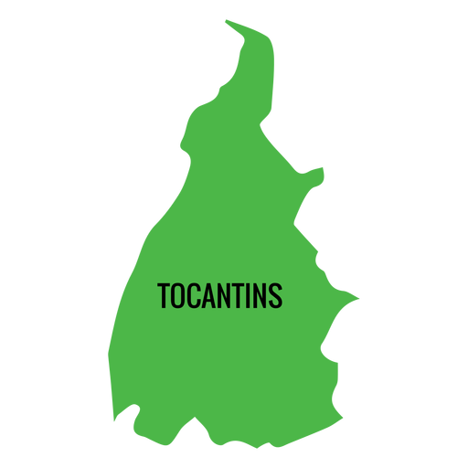
Mapa do estado do Tocantins Desenho PNG
Escolha uma pasta
Todos os favoritos
Criar novo
Salvar
Mapa do estado do Tocantins Desenho PNG
Premium
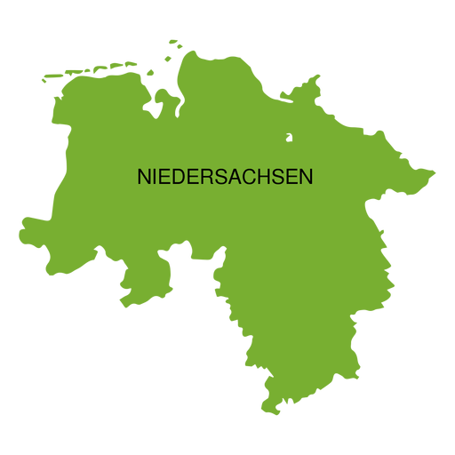
Mapa do estado da Baixa Saxônia Desenho PNG
Escolha uma pasta
Todos os favoritos
Criar novo
Salvar
Mapa do estado da Baixa Saxônia Desenho PNG
Premium
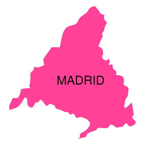
Mapa da comunidade autônoma de Madrid Desenho PNG
Escolha uma pasta
Todos os favoritos
Criar novo
Salvar
Mapa da comunidade autônoma de Madrid Desenho PNG
Premium
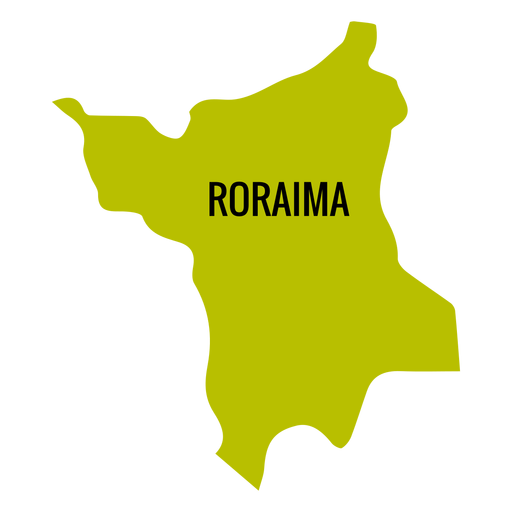
Mapa do estado de Roraima Desenho PNG
Escolha uma pasta
Todos os favoritos
Criar novo
Salvar
Mapa do estado de Roraima Desenho PNG
Premium
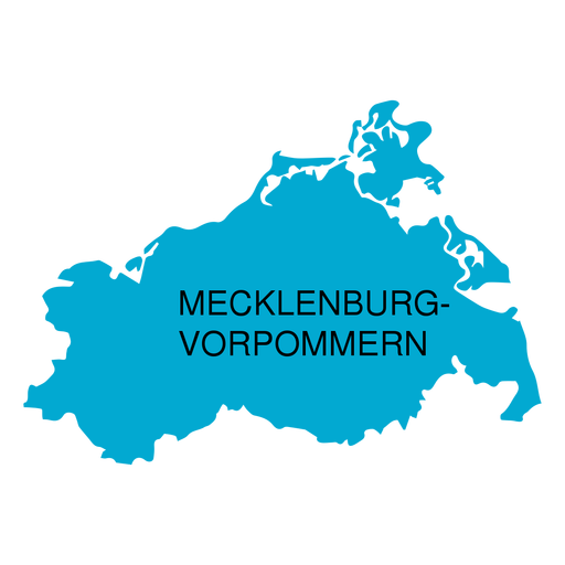
Mapa do estado de Mecklemburgo Pomerânia Ocidental Desenho PNG
Escolha uma pasta
Todos os favoritos
Criar novo
Salvar
Mapa do estado de Mecklemburgo Pomerânia Ocidental Desenho PNG
Premium
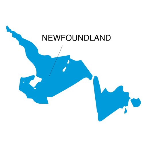
Mapa da província de Newfoundland e Labrador Desenho PNG
Escolha uma pasta
Todos os favoritos
Criar novo
Salvar
Mapa da província de Newfoundland e Labrador Desenho PNG
Premium
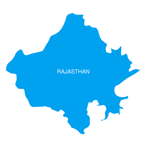
Mapa do estado de Rajasthan Desenho PNG
Escolha uma pasta
Todos os favoritos
Criar novo
Salvar
Mapa do estado de Rajasthan Desenho PNG
Premium
Mapa do estado do Acre Desenho PNG
Escolha uma pasta
Todos os favoritos
Criar novo
Salvar
Mapa do estado do Acre Desenho PNG
Premium
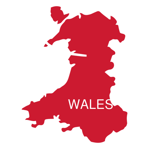
Mapa do país de Gales Desenho PNG
Escolha uma pasta
Todos os favoritos
Criar novo
Salvar
Mapa do país de Gales Desenho PNG
Premium
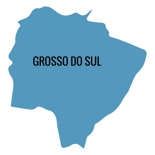
Mato Grosso do Sul Desenho PNG
Escolha uma pasta
Todos os favoritos
Criar novo
Salvar
Mato Grosso do Sul Desenho PNG
Inscreva-se
Para obter designs de uso comercial de alta qualidade para seus negócios
VER PLANOS
Próxima
do 7
prev page
next page