Gráficos
Explorar Desenhos
Novos designs Merch
Designs de Merch de Tendência
Vectores
PNGs & SVGs
Mockups
Camisetas
Modelos de T-Shirt PSD
Designs KDP
Capas para celular
Almofadas
Sacos de compras
Pôsteres
Canecas
Ferramentas de desenho
Designer
Novo!
T-shirt Maker
Mockup Generator
Quote Generator
Logo Maker
Ajuda
Merch Digest
Blog
Centro de Ajuda
Creators Program
Saiba mais sobre o Merch
Notícias
Acesso à API
Preços
Carregando...
Inscrever-se
Conecte-se
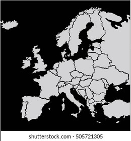
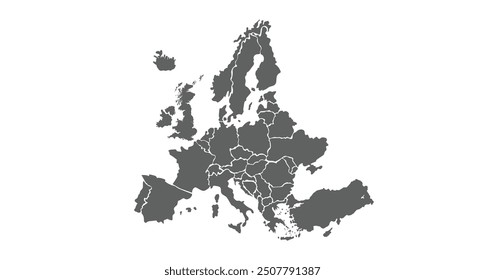
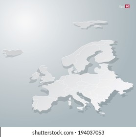
Merch Vectors
europe
map
Gráficos
Explorar Desenhos
Novos designs Merch
Designs de Merch de Tendência
Vectores
PNGs & SVGs
Mockups
Camisetas
Modelos de T-Shirt PSD
Designs KDP
Capas para celular
Almofadas
Sacos de compras
Pôsteres
Canecas
Ferramentas de desenho
Designer
Novo!
T-shirt Maker
Mockup Generator
Quote Generator
Logo Maker
Ajuda
Merch Digest
Blog
Centro de Ajuda
Creators Program
Saiba mais sobre o Merch
Notícias
Acesso à API
PLANOS
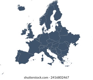
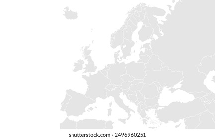
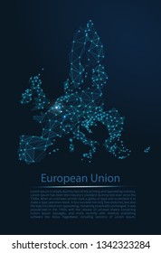
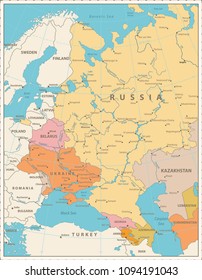
Merch Vectors
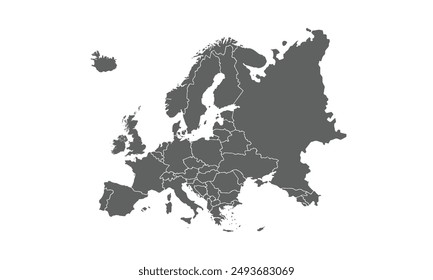
europe
map
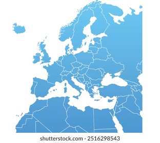
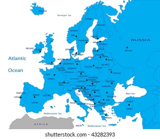
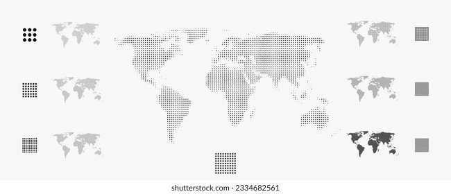
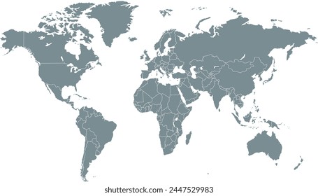
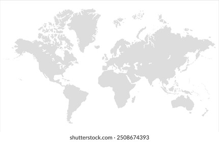
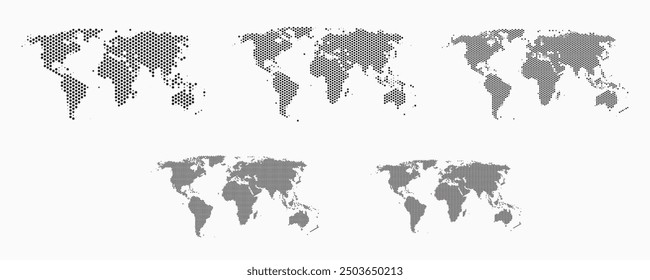
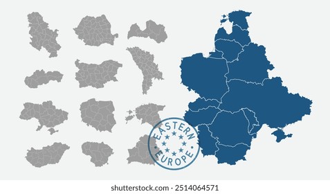
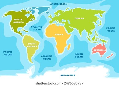
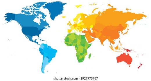
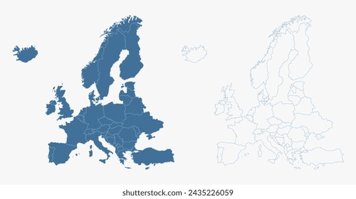
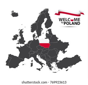
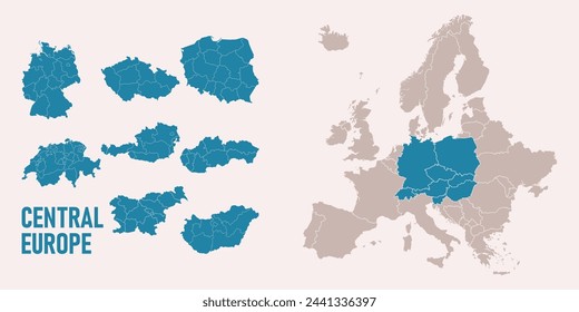
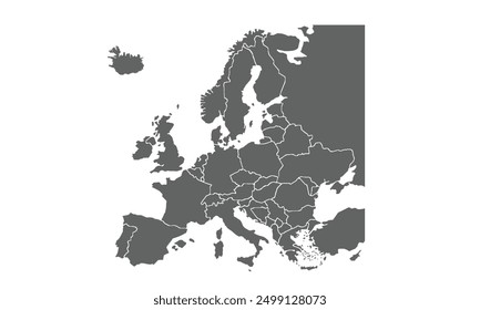
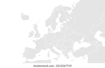
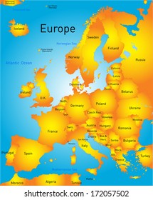
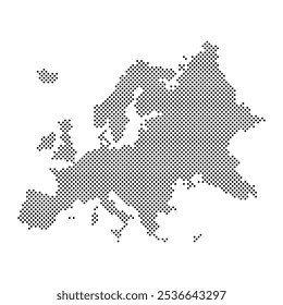
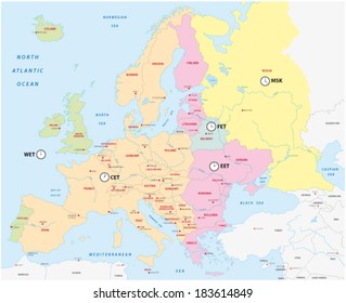
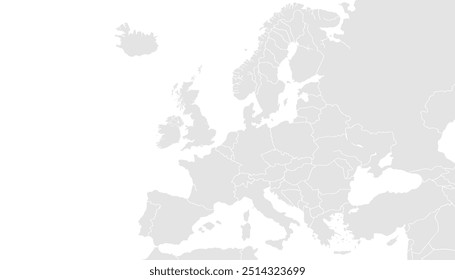
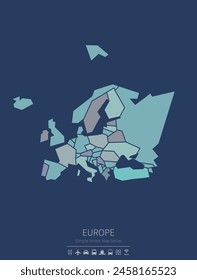
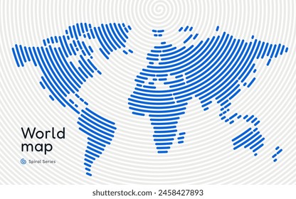
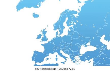
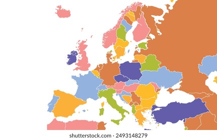
85 Designs Vetoriais de europe map para Camisetas e Merch
Baixar e comprar Designs Vetoriais AI de europe map para Camisetas, Capas do Celular, Capas do Livros e outros produtos Merch
Relacionado:
mapa da europa
Ordenar por
Mais relevante
Resultados patrocinados da
Ganhe 15% de desconto com o código: VEXELS15
veja mais detalhes
Não foi possível encontrar correspondências para
"europe map"
.
Encontre os melhores designs para você
Desenhos Mais Quentes
Novos designs Merch
Navegar por categorias
Encontre os melhores designs para você
Ornamentos e decoração
Planos de fundo e papéis de parede
Viagem
O negócio
Feriados e sazonais
Casamento
Abstrato
Ícones
Florais e redemoinhos
Textura e padrões
Fitas e etiquetas
Vetor
Arte
Projeto
Elementos
Infográficos
Cartoons e personagens
Bandeiras e emblemas
Carros
Animais
Logos
Business
Cartão
Vintage & Retro
Technologia
Natal
Natureza
Conceitos e Ideias
Misc
Objetos
Celebração e festa
Web
Elementos
Silhuetas
Alimentos e Bebidas
Impulsione seu negócio
Com a plataforma gráfica líder de mercado.
Ver planos
do 2
prev page
next page