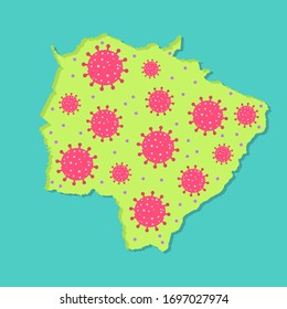
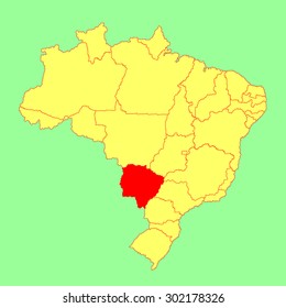
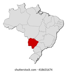
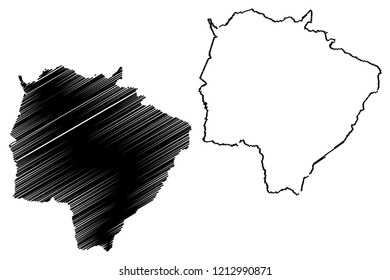
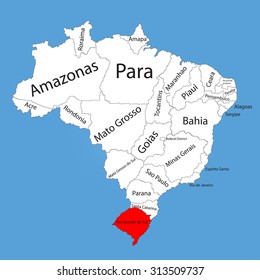
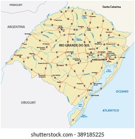
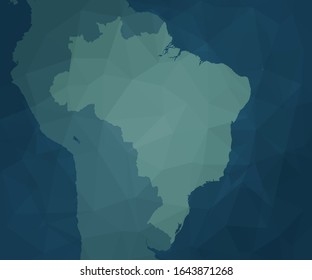
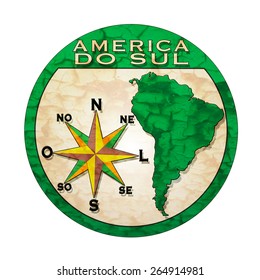
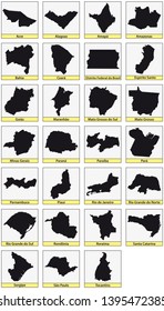
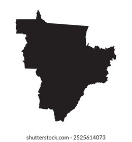
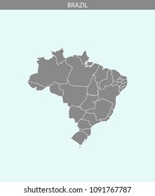
112 Vetores e Gráficos de america do sul para Baixar

Baixar gráficos vetoriais editáveis de america do sul para tudo projeto de design. Em AI, SVG, PNG, JPG e PSD.

Ordenar por

Mais relevante
Map drawing of Brazilian state "Rio Grande do Sul" with Virus Icon Illustration.
Map drawing of Brazilian state "Mato Grosso do Sul" with Virus Icon Illustration.
Map - Rio Grande do Sul (Brazil) - 3D-Illustration
Campo Grande City (Federative Republic of Brazil, Mato Grosso do Sul State) map vector illustration, scribble sketch City of Campo Grande map
Printable street map of  Santa Cruz do Sul, Brazil. Map template for business use.
Printable street map of  Caxias do Sul, Brazil. Map template for business use.
Map of Mato Grosso do Sul with virus. Coronavirus epidemic in brazilian state. Conceptual.
Mato Grosso Do Sul, Brazil, vector map isolated on Brazil map. Editable vector map of Brazil.
Printable street map of  Jaragua do Sul, Brazil. Map template for business use.
Printable street map of  Sao Caetano do Sul, Brazil. Map template for business use.
Map - Brazil, Mato Grosso do Sul
Mato Grosso do Sul (Region of Brazil, Federated state, Federative Republic of Brazil) map vector illustration, scribble sketch Mato Grosso do Sul map
Black Location Map of the Brazilian State of Mato Grosso do Sul within Grey Map of Brazil
Rio Grande Do Sul, Brazil, vector map isolated on Brazil map. Editable vector map of Brazil.
rio grande do sul road map
Rio Grande do Sul administrative and political map with flag
Porto Alegre City (Federative Republic of Brazil, Rio Grande do Sul State) map vector illustration, scribble sketch City of Porto Alegre map
Flat Vector Flag of the Brazilian State of Mato Grosso do Sul
Campo Grande City (Federative Republic of Brazil, Mato Grosso do Sul State) map vector illustration, scribble sketch City of Campo Grande map
Mato Grosso do Sul (Region of Brazil, Federated state, Federative Republic of Brazil) map vector illustration, scribble sketch Mato Grosso do Sul map
Rio Grande Do Sul, Brazil, vector map isolated on Brazil map. Editable vector map of Brazil.
Porto Alegre City (Federative Republic of Brazil, Rio Grande do Sul State) map vector illustration, scribble sketch City of Porto Alegre map
Rio Grande do Sul (Region of Brazil, Federated state, Federative Republic of Brazil) map vector illustration, scribble sketch Rio Grande do Sul map
Map of Mato Grosso do Sul being fueled by oil. Gas pump fueled map. On the map there is glass reflection. Brazilian state. Conceptual. Oil producing or importing regions.
Map of Rio Grande do Sul being fueled by oil. Gas pump fueled map. On the map there is glass reflection. Brazilian state. Conceptual. Oil producing or importing regions.
parana state map
Rio Grande do Sul outline map Brazil state region
Map of the Brazilian state of parana
Rio Grande do Sul outline map Brazil state region
mapa brasileiro geográfico azul e verde inserido na América do Sul latina - ilustração em vetor simples e básico
Mato Grosso do Sul - Brazil Map and Flag of Vector Illustration
Rio Grande do Sul outline map Brazil state region
Map of the Brazilian state of Sao Paulo
Brazil province map, state Rio Grande Do Sul vector map isolated on white background. High detailed silhouette illustration.
Mato grosso do sul flag - Brazil State Flags - Mato Grosso do Sul vector flag design
City of Sao Caetano Do Sul, Brazil postal rubber stamp, vector object over white background
label stamp with text south america ( america do sul on brazilian language)  on vector illustration
Antas river bridge in Brazil
label stamp with text south america (america do sul on brazilian language) on vector illustration
Brazil set. Isolated Brazil on white background
twenty seven black maps of the Subdivisions of Brazil
Brazil Word Cloud. Country with states division. Brazil typographic text clouds vector image design. Vintage gazette style country shape image. Beautiful vector illustration.
Mapa negro da região Centro-Oeste isolado sobre fundo branco. Ilustração vetorial.
Brazil map vector outline gray and blue backgrounds. Highly detailed accurate Brazilian map illustration. Borders of all states or provinces or counties are included on this map.
Vector flag of Rio Grande do Sul state in Brazil. Original and simple Rio Grande do Sul flag isolated vector in official colors and proportion correctly.
Map - Mato Grosso do Sul (Brazil) - 3D-Illustration
Map of Mato Grosso Do Sul Vector Illustration
Flag of Mato Grosso do Sul - Brazil Vector Illustration
Resultados patrocinados da Shutterstock Logo
Ganhe 15% de desconto com o código: VEXELS15

do 3